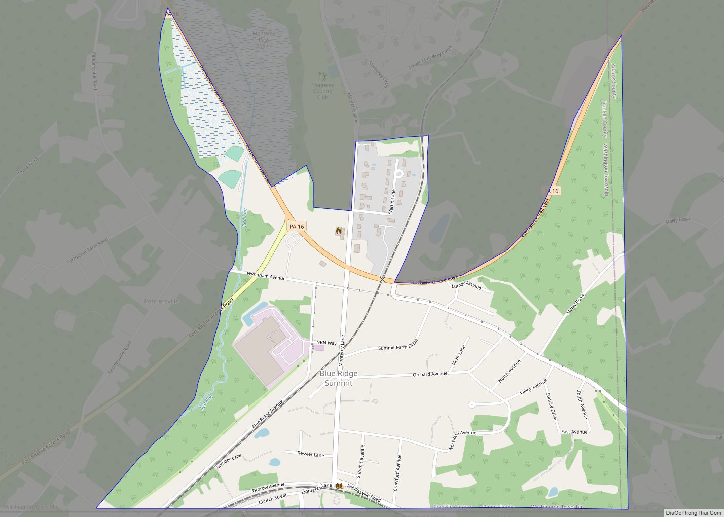
Fayetteville is an unincorporated community and census-designated place (CDP) in Franklin County, Pennsylvania, United States. The population was 3,208 at the 2020 census.
| Name: | Fayetteville CDP |
|---|---|
| LSAD Code: | 57 |
| LSAD Description: | CDP (suffix) |
| State: | Pennsylvania |
| County: | Franklin County |
| Elevation: | 820 ft (250 m) |
| Total Area: | 3.26 sq mi (8.45 km²) |
| Land Area: | 3.26 sq mi (8.45 km²) |
| Water Area: | 0.00 sq mi (0.00 km²) |
| Total Population: | 3,208 |
| Population Density: | 982.84/sq mi (379.43/km²) |
| ZIP code: | 17222 |
| Area code: | 717 and 223 |
| FIPS code: | 4225464 |
| GNISfeature ID: | 1174651 |
Online Interactive Map
Click on ![]() to view map in "full screen" mode.
to view map in "full screen" mode.
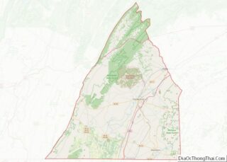
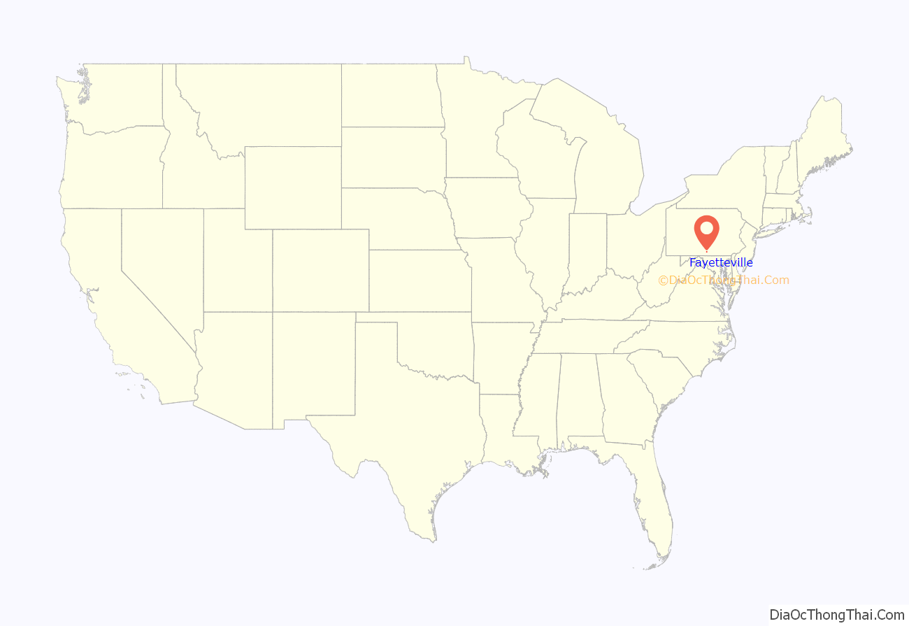
Fayetteville location map. Where is Fayetteville CDP?
History
A post office called Fayetteville has been in operation since 1826. The community has the name of Gilbert du Motier, Marquis de Lafayette (1757–1834), American Revolutionary War general.
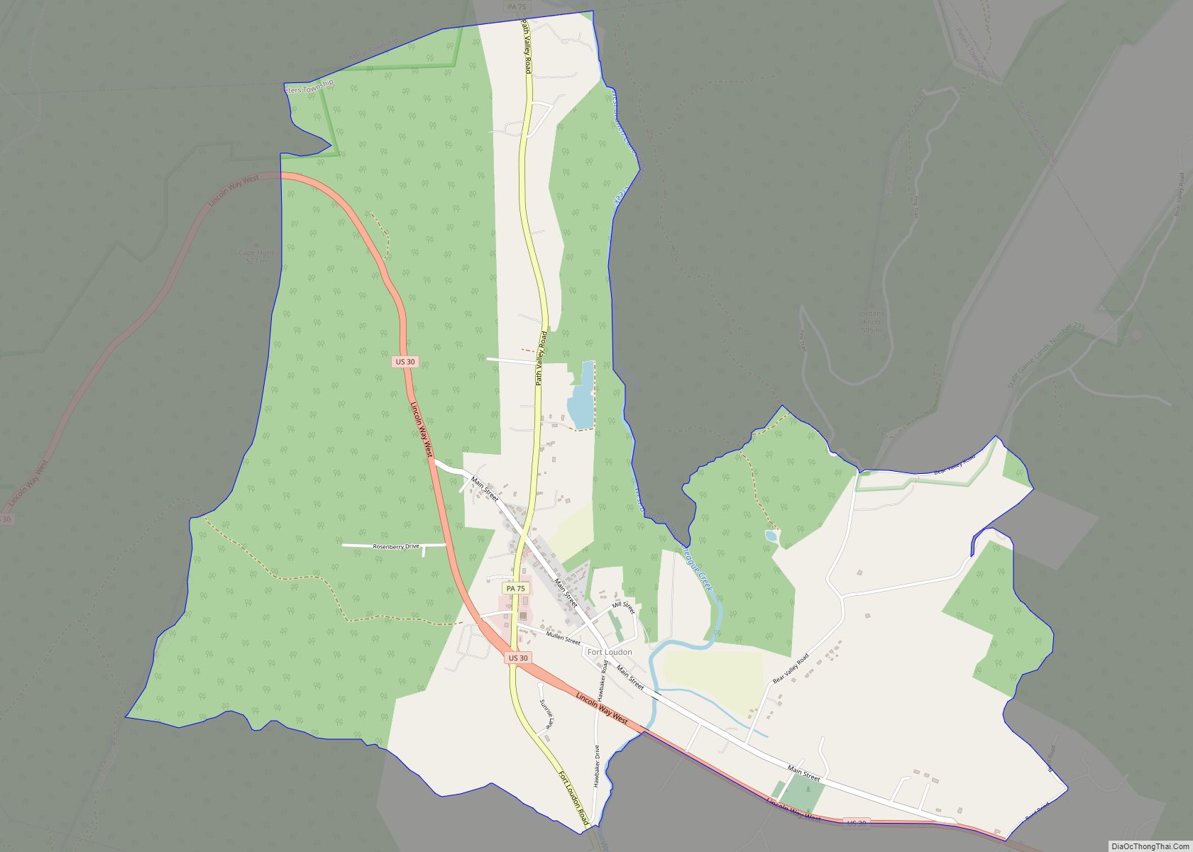
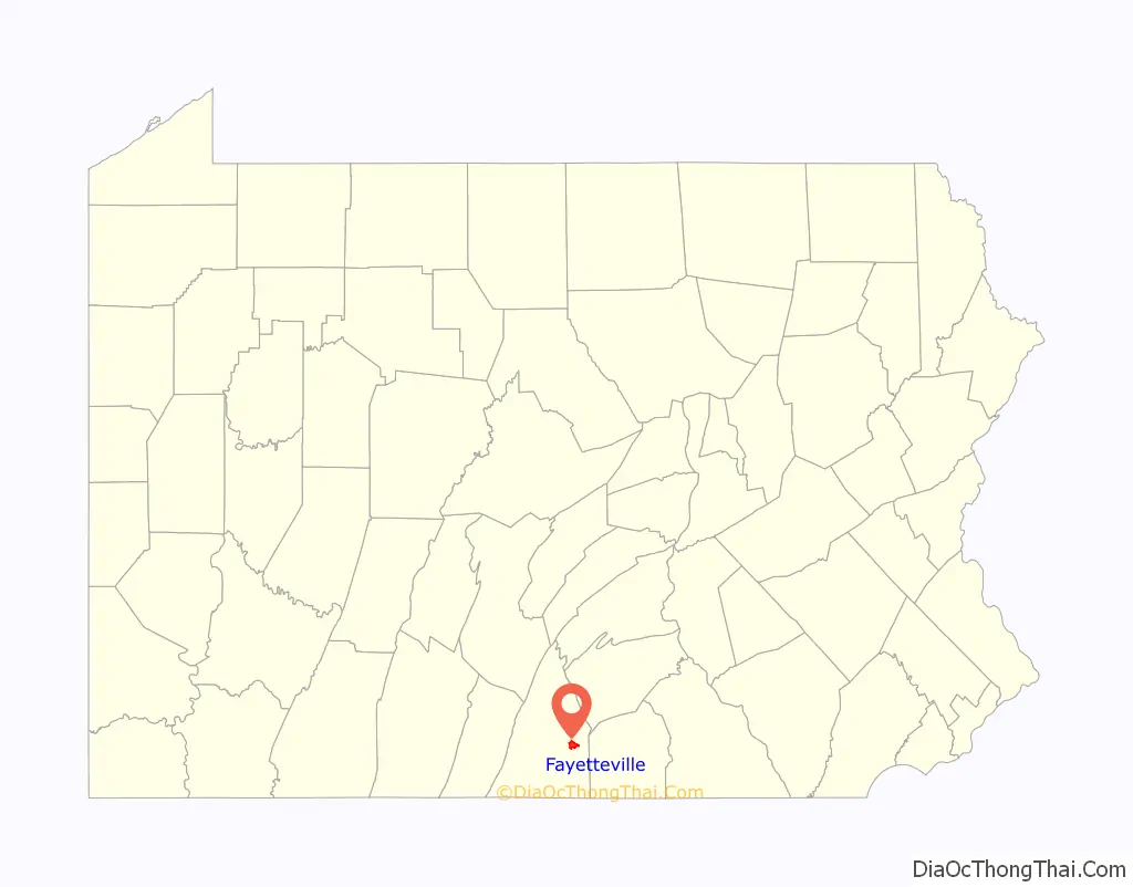
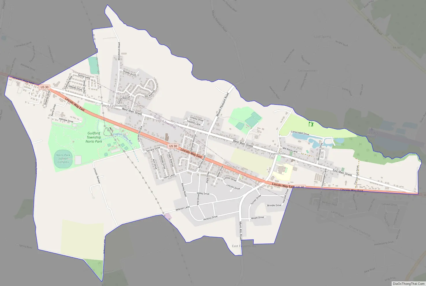
Fayetteville Road Map
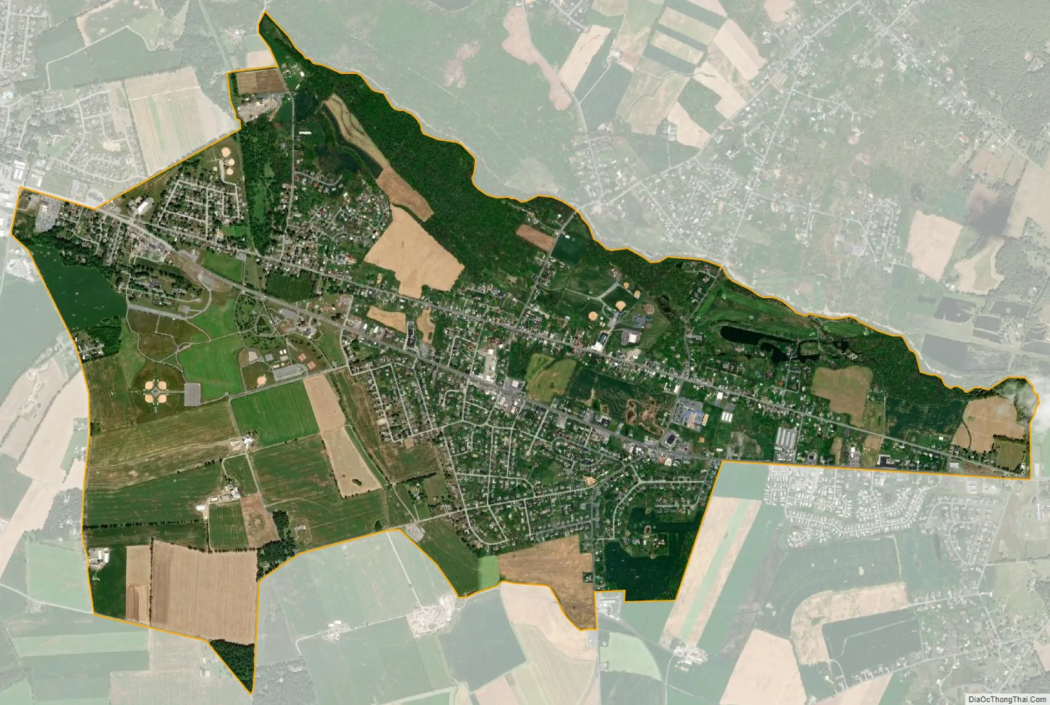
Fayetteville city Satellite Map
Geography
Fayetteville is located in eastern Franklin County at 39°54′43″N 77°33′49″W / 39.91194°N 77.56361°W / 39.91194; -77.56361 (39.911912, -77.563492). U.S. Route 30 passes through the community, leading east 18 miles (29 km) to Gettysburg and west 6 miles (10 km) to Chambersburg, the Franklin County seat. Conococheague Creek, a tributary of the Potomac River, forms the northern edge of the community.
According to the United States Census Bureau, the CDP has a total area of 3.2 square miles (8.2 km), all land.
See also
Map of Pennsylvania State and its subdivision:- Adams
- Allegheny
- Armstrong
- Beaver
- Bedford
- Berks
- Blair
- Bradford
- Bucks
- Butler
- Cambria
- Cameron
- Carbon
- Centre
- Chester
- Clarion
- Clearfield
- Clinton
- Columbia
- Crawford
- Cumberland
- Dauphin
- Delaware
- Elk
- Erie
- Fayette
- Forest
- Franklin
- Fulton
- Greene
- Huntingdon
- Indiana
- Jefferson
- Juniata
- Lackawanna
- Lancaster
- Lawrence
- Lebanon
- Lehigh
- Luzerne
- Lycoming
- Mc Kean
- Mercer
- Mifflin
- Monroe
- Montgomery
- Montour
- Northampton
- Northumberland
- Perry
- Philadelphia
- Pike
- Potter
- Schuylkill
- Snyder
- Somerset
- Sullivan
- Susquehanna
- Tioga
- Union
- Venango
- Warren
- Washington
- Wayne
- Westmoreland
- Wyoming
- York
- Alabama
- Alaska
- Arizona
- Arkansas
- California
- Colorado
- Connecticut
- Delaware
- District of Columbia
- Florida
- Georgia
- Hawaii
- Idaho
- Illinois
- Indiana
- Iowa
- Kansas
- Kentucky
- Louisiana
- Maine
- Maryland
- Massachusetts
- Michigan
- Minnesota
- Mississippi
- Missouri
- Montana
- Nebraska
- Nevada
- New Hampshire
- New Jersey
- New Mexico
- New York
- North Carolina
- North Dakota
- Ohio
- Oklahoma
- Oregon
- Pennsylvania
- Rhode Island
- South Carolina
- South Dakota
- Tennessee
- Texas
- Utah
- Vermont
- Virginia
- Washington
- West Virginia
- Wisconsin
- Wyoming