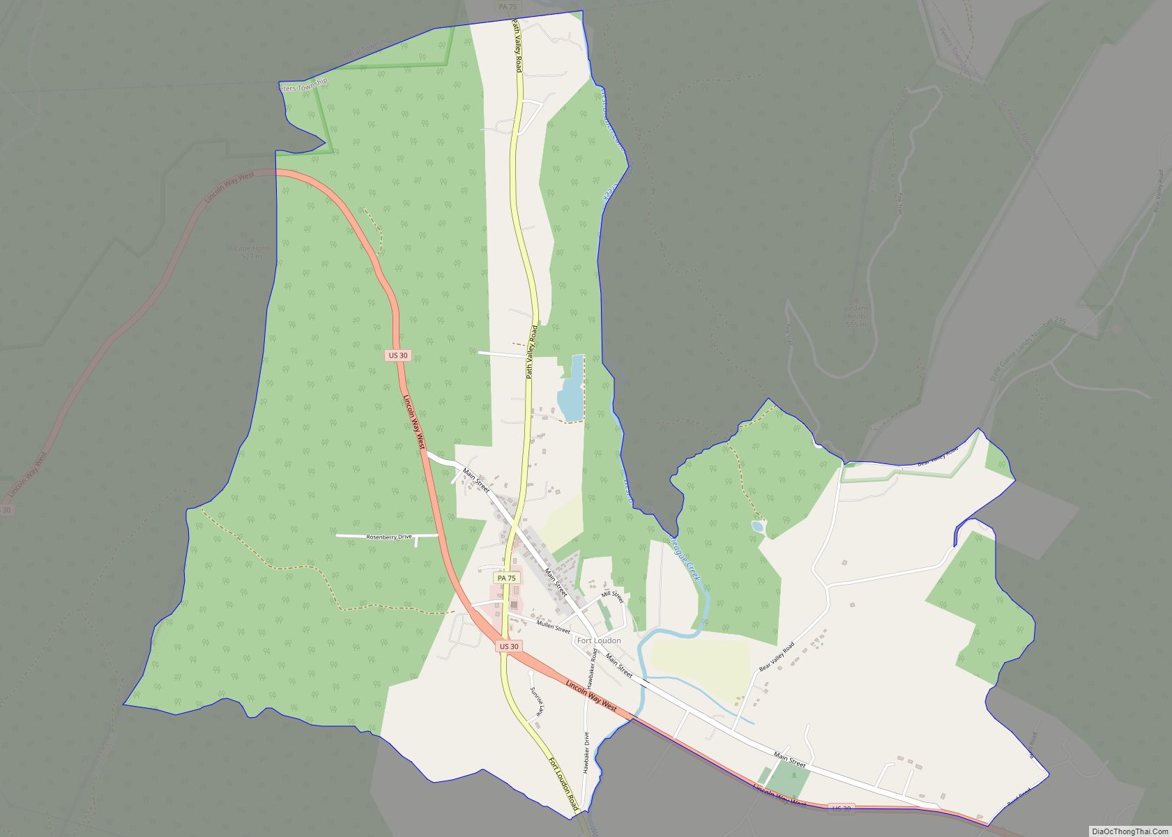
Fort Loudon (CDP) is an unincorporated community and census-designated place (CDP) in Peters Township, Franklin County, Pennsylvania, United States. As of the 2020 census, the population was 895.
| Name: | Fort Loudon CDP |
|---|---|
| LSAD Code: | 57 |
| LSAD Description: | CDP (suffix) |
| State: | Pennsylvania |
| County: | Franklin County |
| Elevation: | 635 ft (194 m) |
| Total Area: | 4.26 sq mi (11.03 km²) |
| Land Area: | 4.26 sq mi (11.03 km²) |
| Water Area: | 0.00 sq mi (0.00 km²) |
| Total Population: | 895 |
| Population Density: | 210.14/sq mi (81.13/km²) |
| ZIP code: | 17224 |
| FIPS code: | 4226824 |
| GNISfeature ID: | 1175015 |
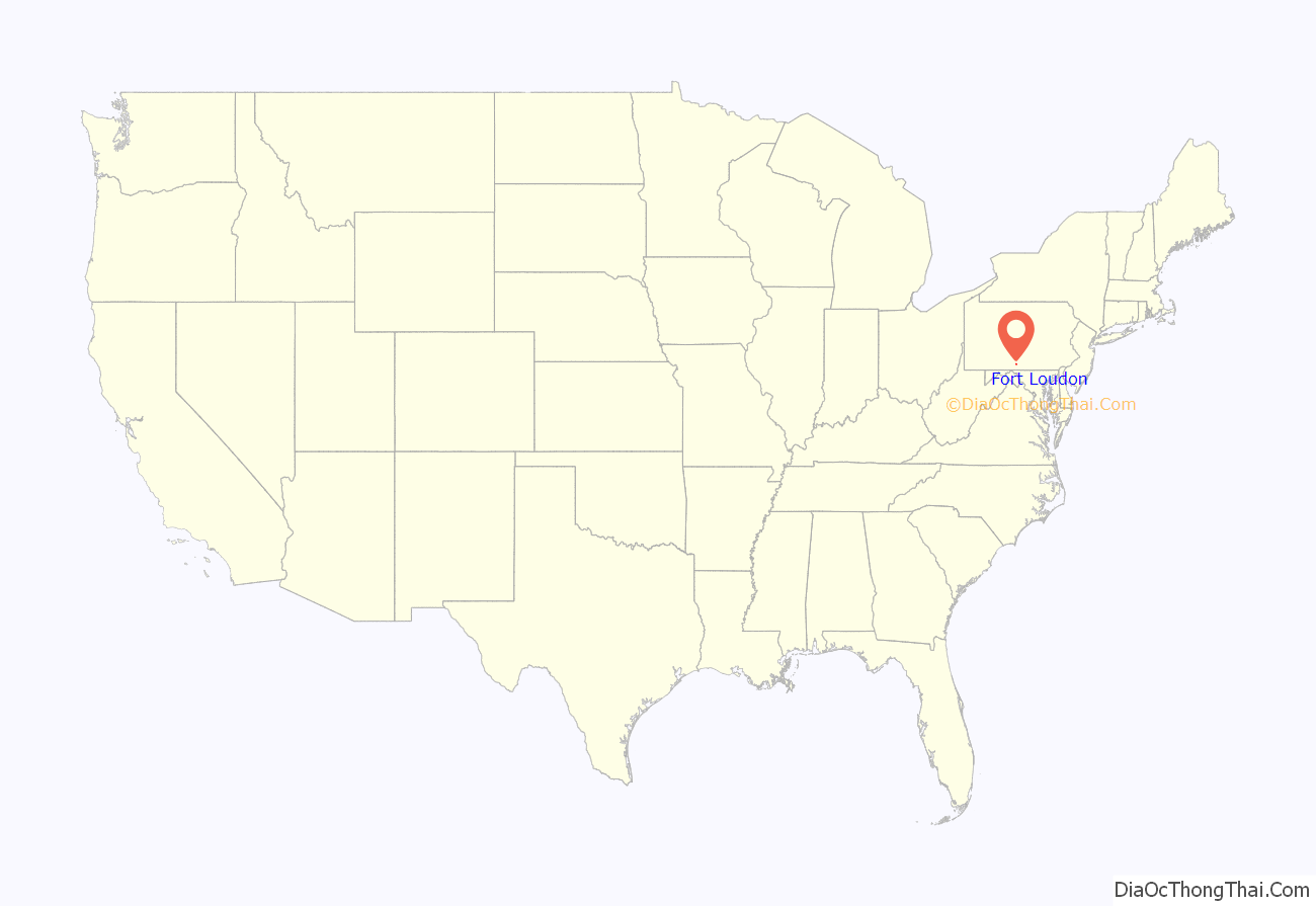
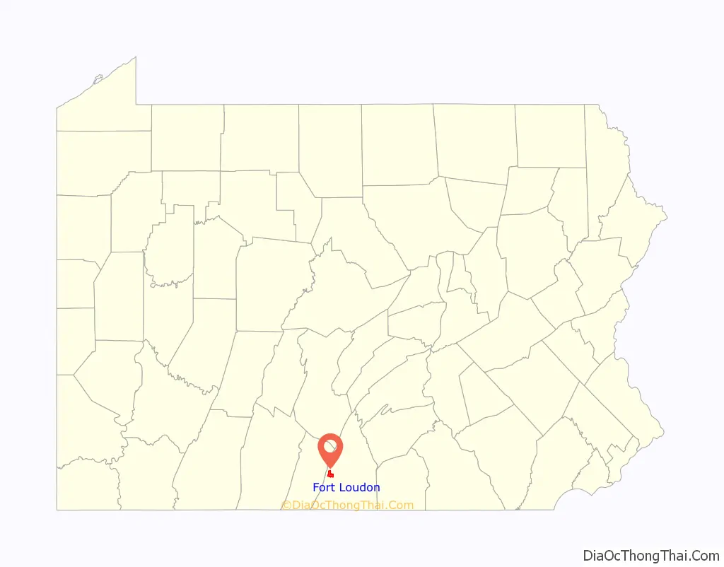
Online Interactive Map
Click on ![]() to view map in "full screen" mode.
to view map in "full screen" mode.
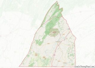
Fort Loudon location map. Where is Fort Loudon CDP?
History
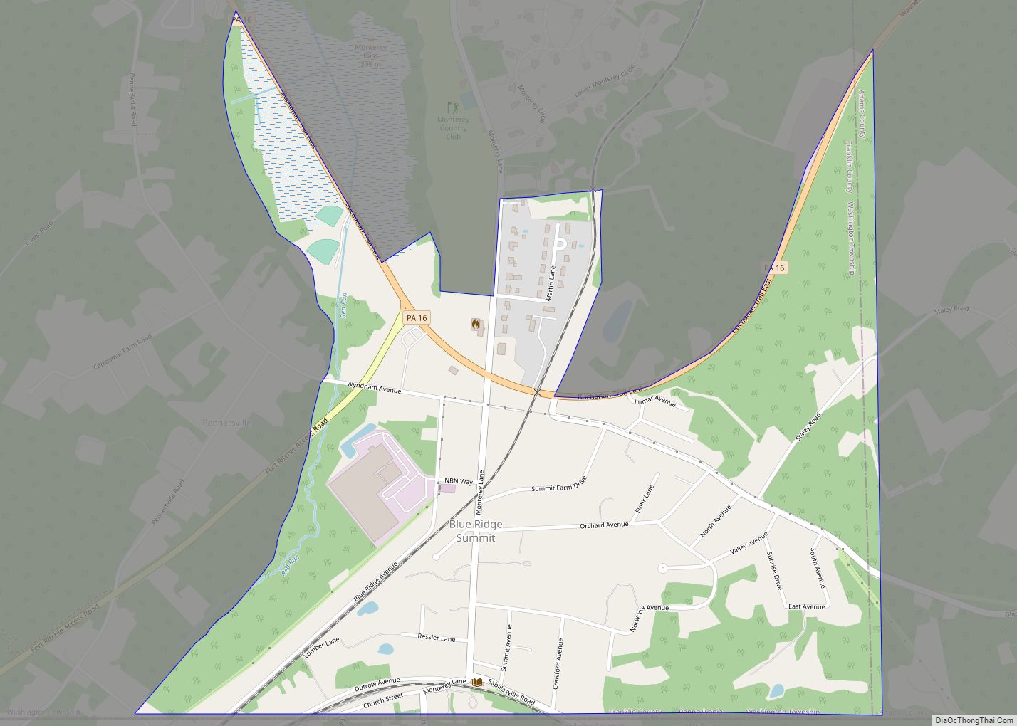
The community is named after the colonial Fort Loudoun, built in 1756 during the French and Indian War. A replica of the fort, built in 1993, stands at the corner of US 30 and Brooklyn Road North, at the southeastern corner of the CDP.
A post office called Loudon was established in 1814, and the name was changed to Fort Loudon in 1883.
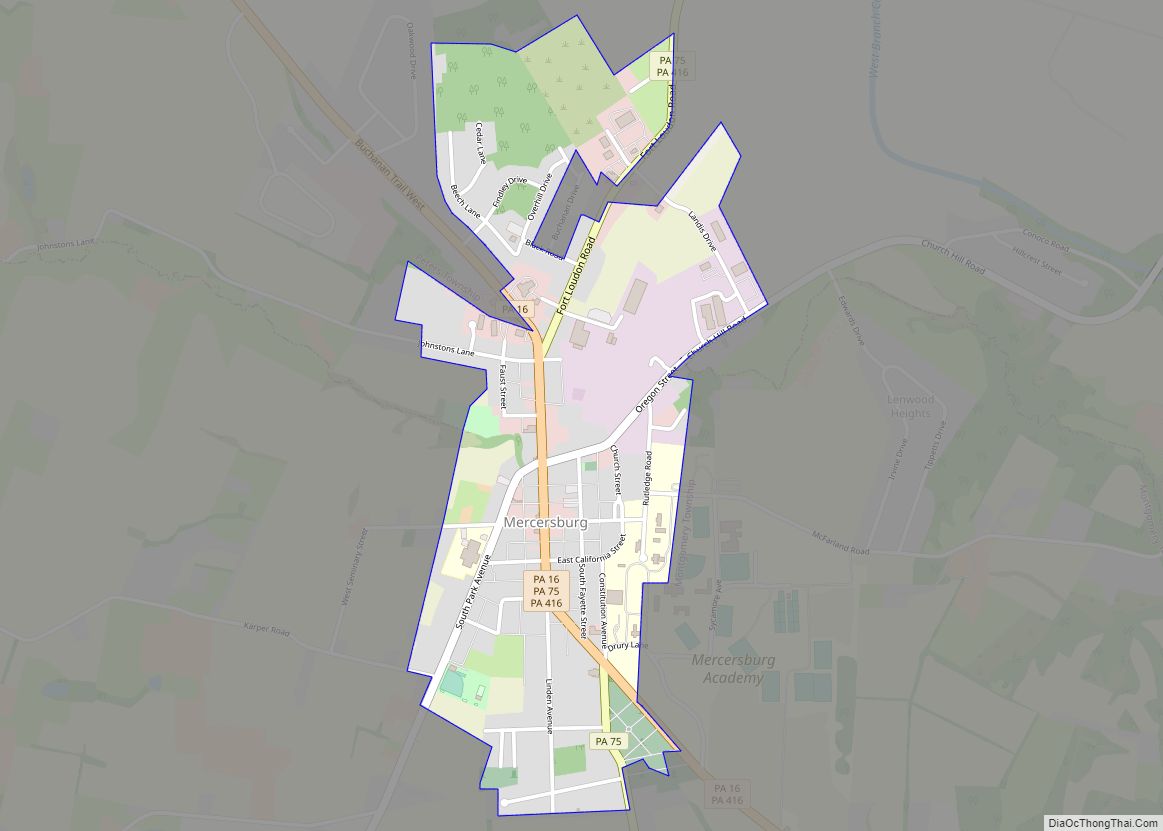
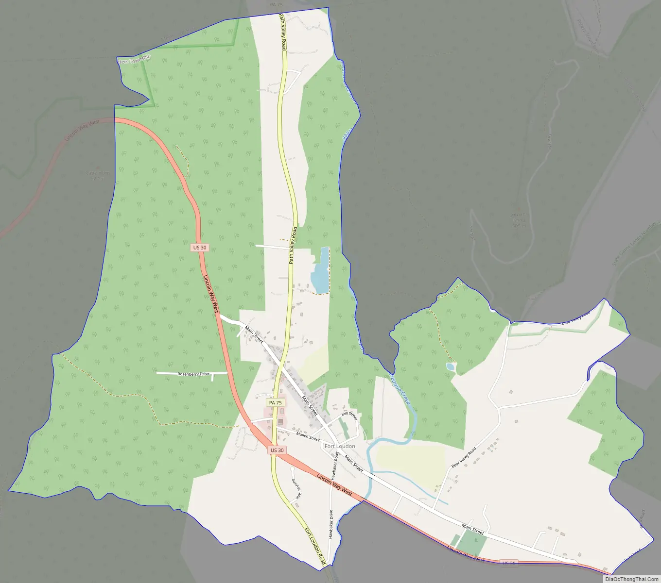
Fort Loudon Road Map
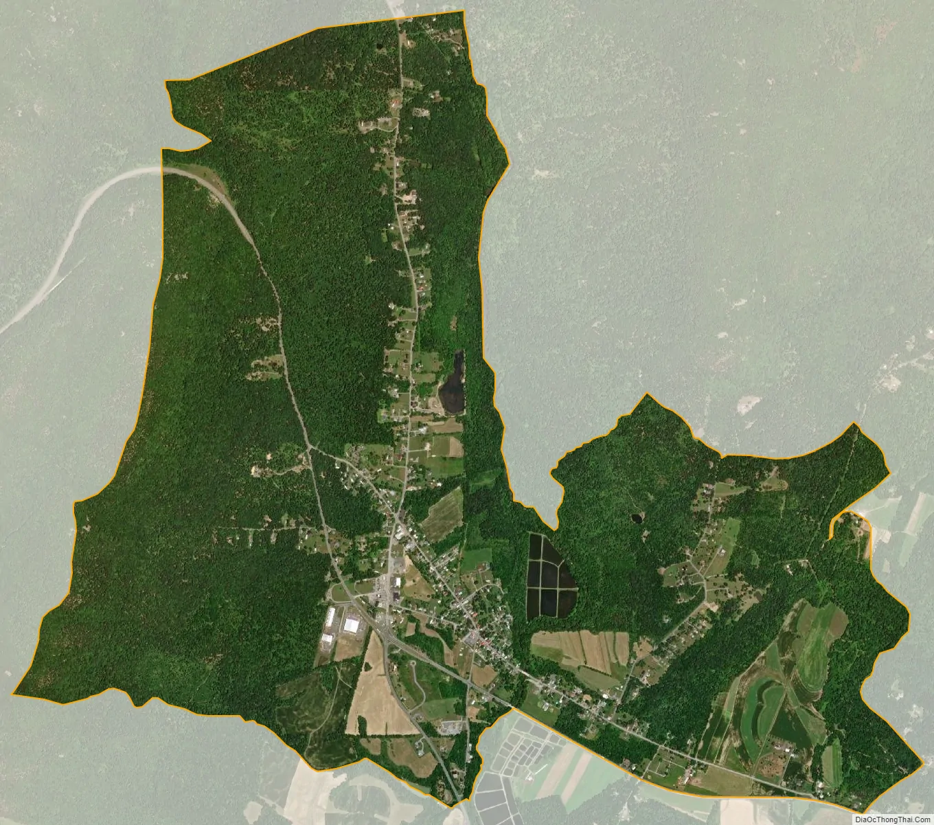
Fort Loudon city Satellite Map
Geography
Fort Loudon is located in western Franklin County in the valley of the West Branch Conococheague Creek, with Cove Mountain to the west, Blue Mountain to the north, and Parnell Knob to the east. U.S. Route 30, the Lincoln Highway, passes through the community, leading west 8 miles (13 km) to McConnellsburg and east 13 miles (21 km) to Chambersburg, the Franklin County seat. Pennsylvania Route 75 crosses US 30 southwest of the town center, leading north up the Path Valley to 12 miles (19 km) Fannettsburg and south 6 miles (10 km) to Mercersburg.
According to the U.S. Census Bureau, the Fort Loudon CDP has an area of 4.2 square miles (11.0 km), all land.
See also
Map of Pennsylvania State and its subdivision:- Adams
- Allegheny
- Armstrong
- Beaver
- Bedford
- Berks
- Blair
- Bradford
- Bucks
- Butler
- Cambria
- Cameron
- Carbon
- Centre
- Chester
- Clarion
- Clearfield
- Clinton
- Columbia
- Crawford
- Cumberland
- Dauphin
- Delaware
- Elk
- Erie
- Fayette
- Forest
- Franklin
- Fulton
- Greene
- Huntingdon
- Indiana
- Jefferson
- Juniata
- Lackawanna
- Lancaster
- Lawrence
- Lebanon
- Lehigh
- Luzerne
- Lycoming
- Mc Kean
- Mercer
- Mifflin
- Monroe
- Montgomery
- Montour
- Northampton
- Northumberland
- Perry
- Philadelphia
- Pike
- Potter
- Schuylkill
- Snyder
- Somerset
- Sullivan
- Susquehanna
- Tioga
- Union
- Venango
- Warren
- Washington
- Wayne
- Westmoreland
- Wyoming
- York
- Alabama
- Alaska
- Arizona
- Arkansas
- California
- Colorado
- Connecticut
- Delaware
- District of Columbia
- Florida
- Georgia
- Hawaii
- Idaho
- Illinois
- Indiana
- Iowa
- Kansas
- Kentucky
- Louisiana
- Maine
- Maryland
- Massachusetts
- Michigan
- Minnesota
- Mississippi
- Missouri
- Montana
- Nebraska
- Nevada
- New Hampshire
- New Jersey
- New Mexico
- New York
- North Carolina
- North Dakota
- Ohio
- Oklahoma
- Oregon
- Pennsylvania
- Rhode Island
- South Carolina
- South Dakota
- Tennessee
- Texas
- Utah
- Vermont
- Virginia
- Washington
- West Virginia
- Wisconsin
- Wyoming