Fountain Hill is a borough in Lehigh County, Pennsylvania, United States. The population of Fountain Hill was 4,832 at the 2020 census, an increase over the figure of 4,597 tabulated in 2010. It is part of the Lehigh Valley metropolitan area, which had a population of 861,899 and was the 68th-most populous metropolitan area in the U.S. as of the 2020 census.
| Name: | Fountain Hill borough |
|---|---|
| LSAD Code: | 21 |
| LSAD Description: | borough (suffix) |
| State: | Pennsylvania |
| County: | Lehigh County |
| Elevation: | 364 ft (111 m) |
| Land Area: | 0.73 sq mi (1.90 km²) |
| Water Area: | 0.02 sq mi (0.05 km²) |
| Population Density: | 6,574.15/sq mi (2,536.99/km²) |
| ZIP code: | 18015 |
| FIPS code: | 4227008 |
| Website: | www.fountainhill.org |
Online Interactive Map
Click on ![]() to view map in "full screen" mode.
to view map in "full screen" mode.
Fountain Hill location map. Where is Fountain Hill borough?
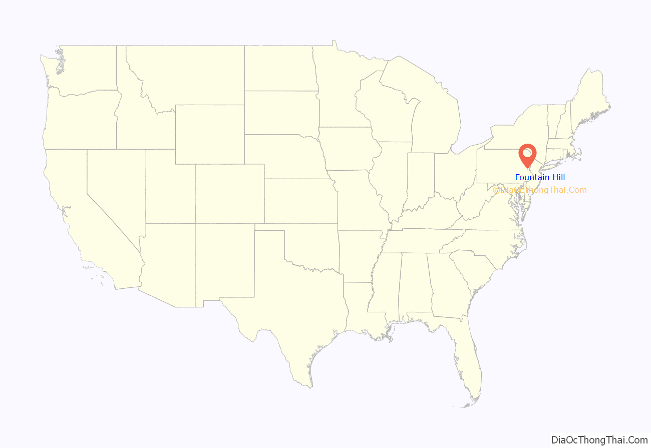

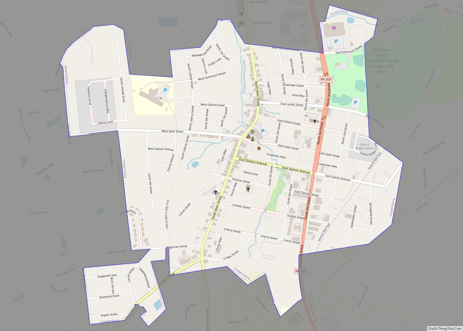
Fountain Hill Road Map
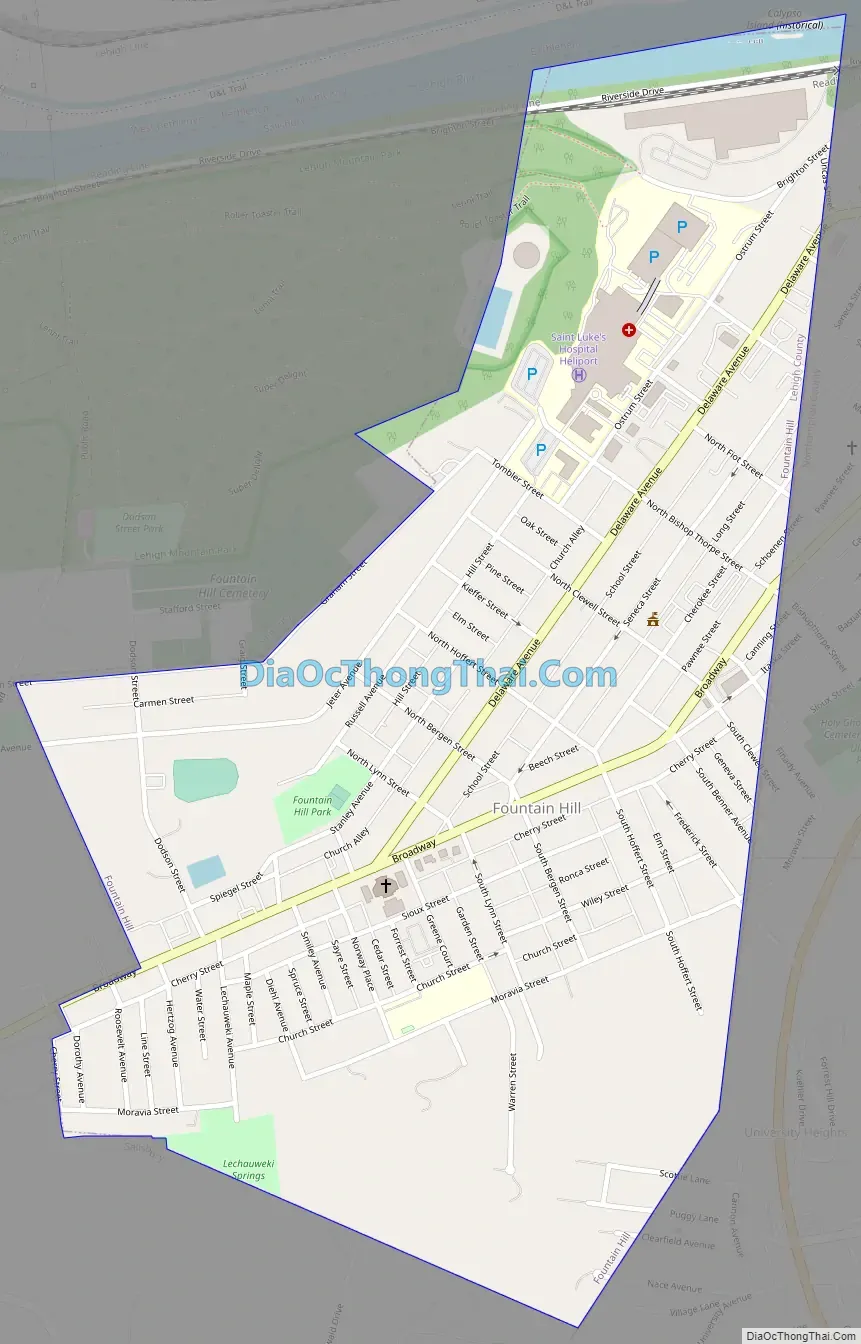
Fountain Hill city Satellite Map

Geography
Fountain Hill is located at 40°36′6″N 75°23′47″W / 40.60167°N 75.39639°W / 40.60167; -75.39639 (40.601698, -75.396357). According to the U.S. Census Bureau, the borough has a total area of 0.7 square miles (1.8 km), of which 0.7 square miles (1.8 km) is land and 1.41% is water. Fountain Hill is approximately 450 acres (1.8 km), predominantly residential in character, with approximately 1,754 dwelling units. It uses the Bethlehem ZIP code of 18015.
See also
Map of Pennsylvania State and its subdivision:- Adams
- Allegheny
- Armstrong
- Beaver
- Bedford
- Berks
- Blair
- Bradford
- Bucks
- Butler
- Cambria
- Cameron
- Carbon
- Centre
- Chester
- Clarion
- Clearfield
- Clinton
- Columbia
- Crawford
- Cumberland
- Dauphin
- Delaware
- Elk
- Erie
- Fayette
- Forest
- Franklin
- Fulton
- Greene
- Huntingdon
- Indiana
- Jefferson
- Juniata
- Lackawanna
- Lancaster
- Lawrence
- Lebanon
- Lehigh
- Luzerne
- Lycoming
- Mc Kean
- Mercer
- Mifflin
- Monroe
- Montgomery
- Montour
- Northampton
- Northumberland
- Perry
- Philadelphia
- Pike
- Potter
- Schuylkill
- Snyder
- Somerset
- Sullivan
- Susquehanna
- Tioga
- Union
- Venango
- Warren
- Washington
- Wayne
- Westmoreland
- Wyoming
- York
- Alabama
- Alaska
- Arizona
- Arkansas
- California
- Colorado
- Connecticut
- Delaware
- District of Columbia
- Florida
- Georgia
- Hawaii
- Idaho
- Illinois
- Indiana
- Iowa
- Kansas
- Kentucky
- Louisiana
- Maine
- Maryland
- Massachusetts
- Michigan
- Minnesota
- Mississippi
- Missouri
- Montana
- Nebraska
- Nevada
- New Hampshire
- New Jersey
- New Mexico
- New York
- North Carolina
- North Dakota
- Ohio
- Oklahoma
- Oregon
- Pennsylvania
- Rhode Island
- South Carolina
- South Dakota
- Tennessee
- Texas
- Utah
- Vermont
- Virginia
- Washington
- West Virginia
- Wisconsin
- Wyoming