Heidlersburg is an unincorporated community and census-designated place in Tyrone Township, Adams County, Pennsylvania, United States. As of the 2020 census, the population was 509.
Heidlersburg is located at the crossroads of Pennsylvania Route 234 and Old Harrisburg Road, the former U.S. Route 15. Route 15 now bypasses the town to the east, with access from an exit at Route 234. Gettysburg is 9 miles (14 km) to the south, and Harrisburg is 28 miles (45 km) to the north.
Heidlersburg was formerly known as Starry Town. There is a volunteer fire company, Company 25. The two churches in Heidlersburg are Heidlersburg United Brethren in Christ Church and St. Mark’s Lutheran Church.
| Name: | Heidlersburg CDP |
|---|---|
| LSAD Code: | 57 |
| LSAD Description: | CDP (suffix) |
| State: | Pennsylvania |
| County: | Adams County |
| Elevation: | 571 ft (174 m) |
| Total Area: | 0.70 sq mi (1.81 km²) |
| Land Area: | 0.70 sq mi (1.81 km²) |
| Water Area: | 0.00 sq mi (0.00 km²) |
| Total Population: | 509 |
| Population Density: | 728.18/sq mi (281.20/km²) |
| Area code: | 717 |
| FIPS code: | 4233632 |
| GNISfeature ID: | 1176772 |
Online Interactive Map
Click on ![]() to view map in "full screen" mode.
to view map in "full screen" mode.
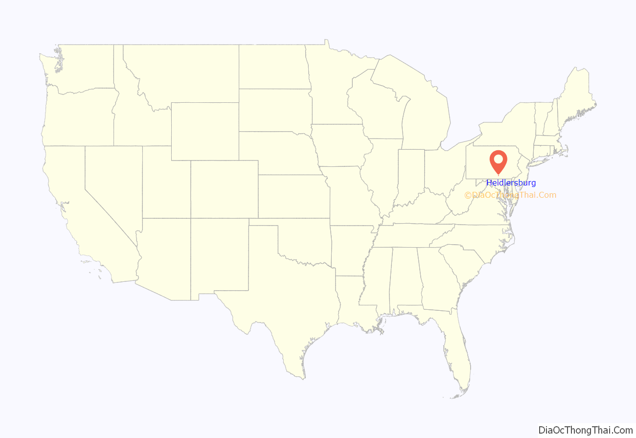
Heidlersburg location map. Where is Heidlersburg CDP?

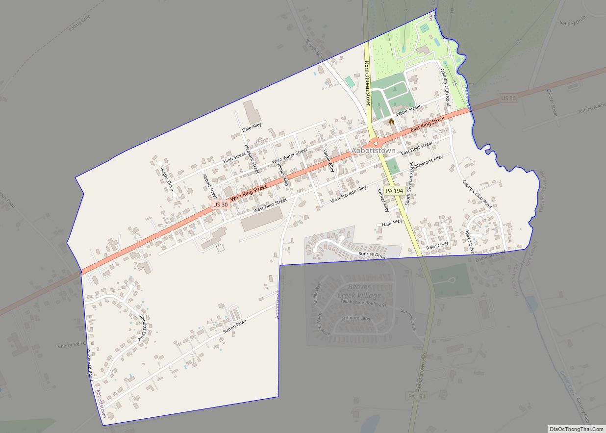
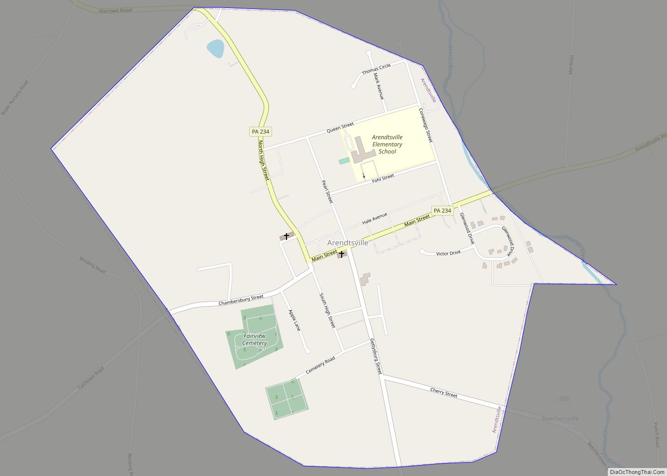
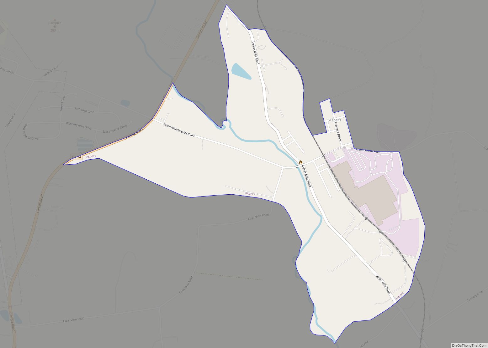
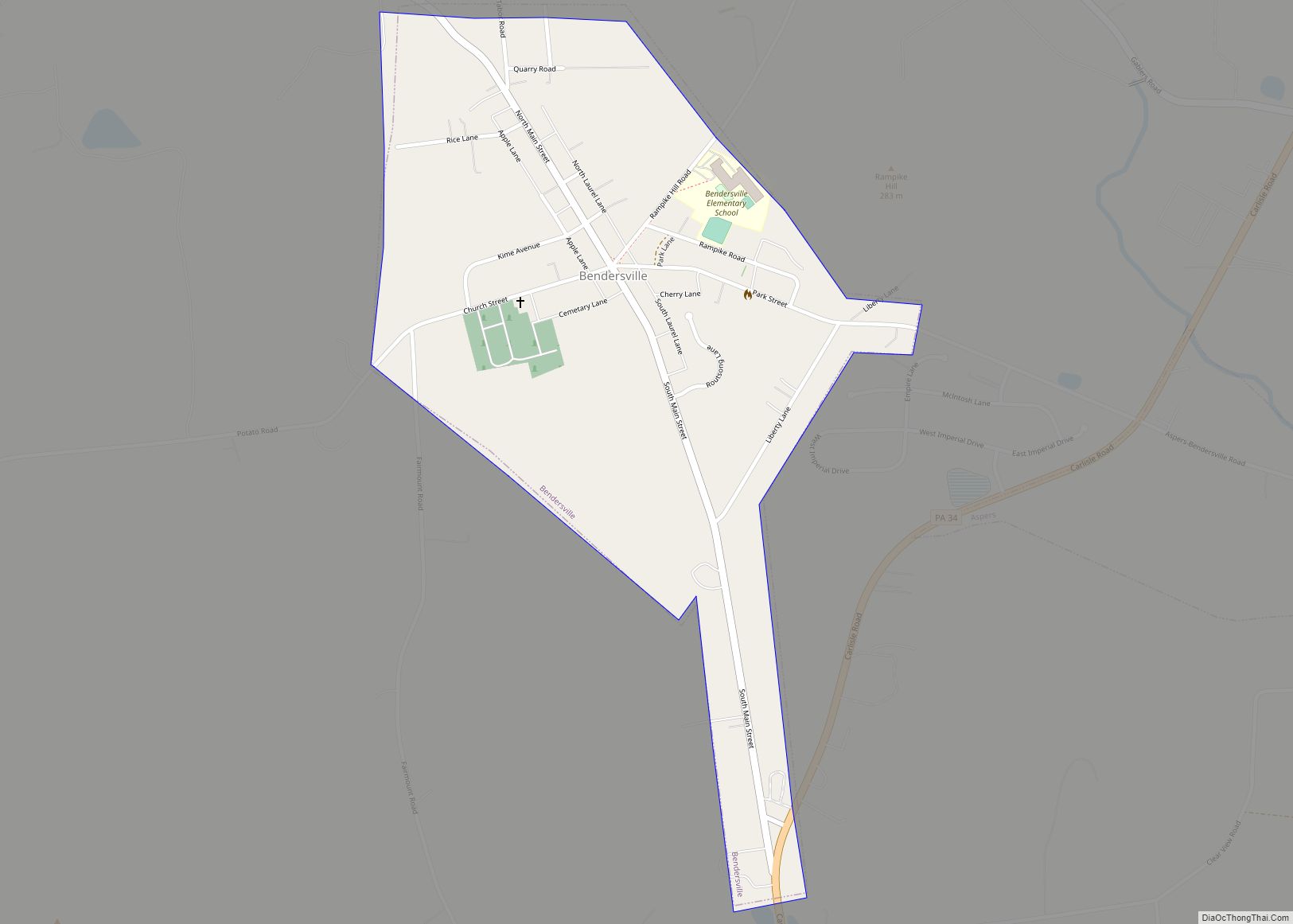
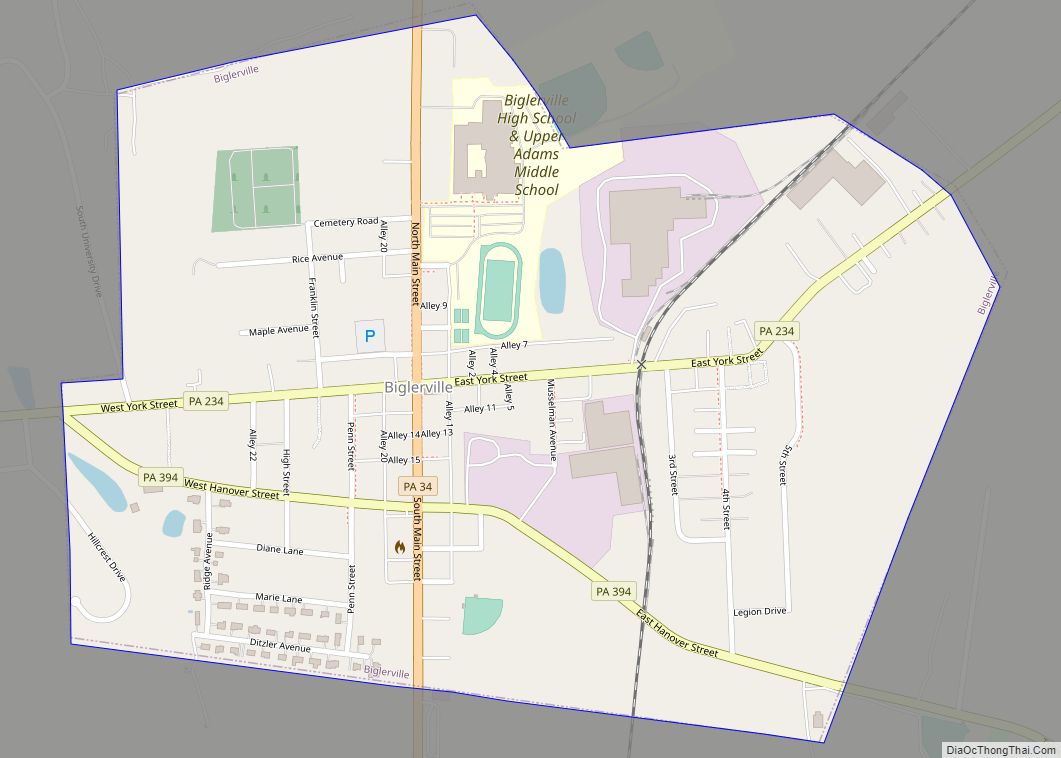
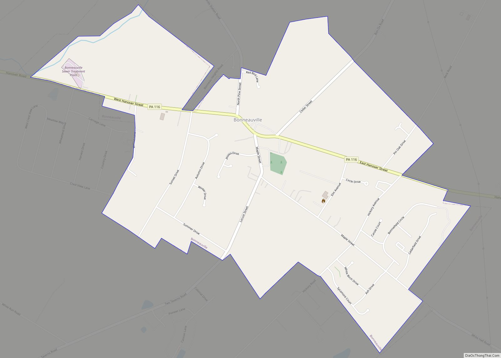
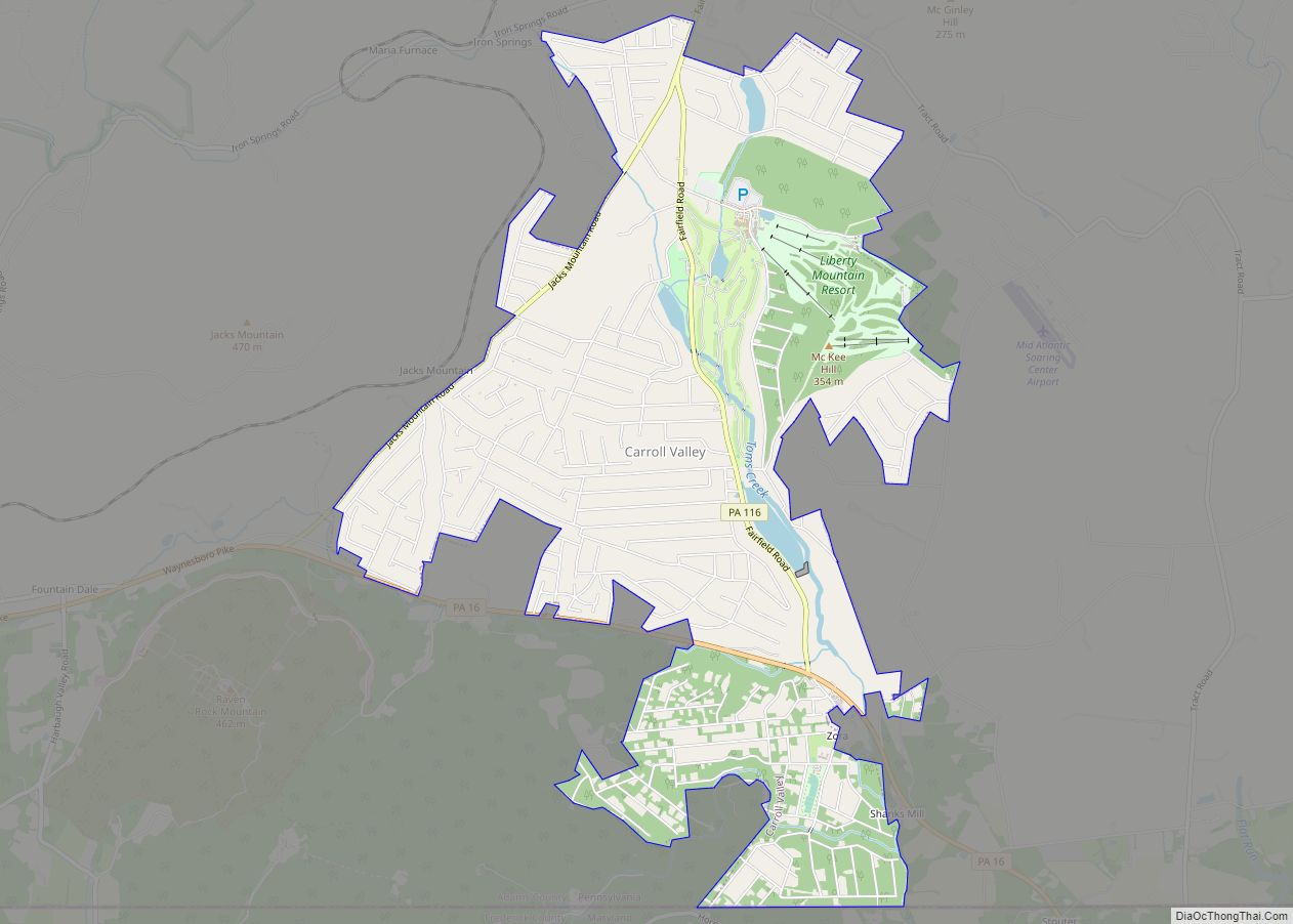
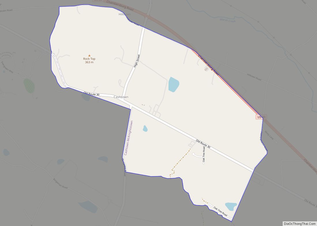
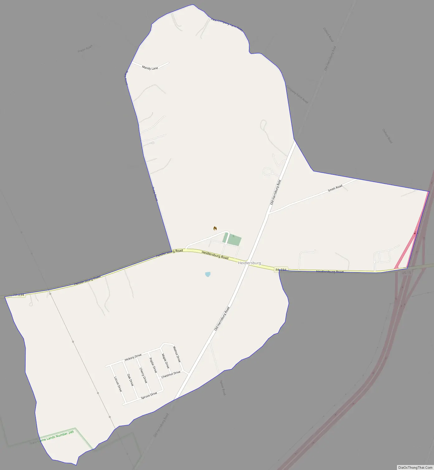
Heidlersburg Road Map
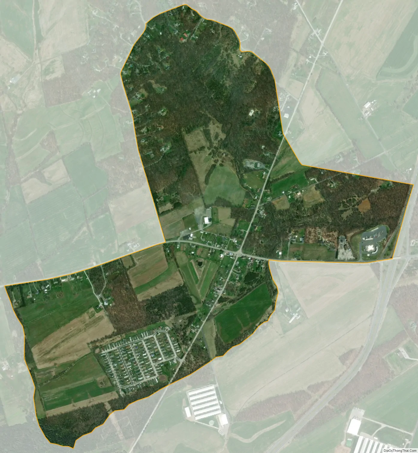
Heidlersburg city Satellite Map
See also
Map of Pennsylvania State and its subdivision:- Adams
- Allegheny
- Armstrong
- Beaver
- Bedford
- Berks
- Blair
- Bradford
- Bucks
- Butler
- Cambria
- Cameron
- Carbon
- Centre
- Chester
- Clarion
- Clearfield
- Clinton
- Columbia
- Crawford
- Cumberland
- Dauphin
- Delaware
- Elk
- Erie
- Fayette
- Forest
- Franklin
- Fulton
- Greene
- Huntingdon
- Indiana
- Jefferson
- Juniata
- Lackawanna
- Lancaster
- Lawrence
- Lebanon
- Lehigh
- Luzerne
- Lycoming
- Mc Kean
- Mercer
- Mifflin
- Monroe
- Montgomery
- Montour
- Northampton
- Northumberland
- Perry
- Philadelphia
- Pike
- Potter
- Schuylkill
- Snyder
- Somerset
- Sullivan
- Susquehanna
- Tioga
- Union
- Venango
- Warren
- Washington
- Wayne
- Westmoreland
- Wyoming
- York
- Alabama
- Alaska
- Arizona
- Arkansas
- California
- Colorado
- Connecticut
- Delaware
- District of Columbia
- Florida
- Georgia
- Hawaii
- Idaho
- Illinois
- Indiana
- Iowa
- Kansas
- Kentucky
- Louisiana
- Maine
- Maryland
- Massachusetts
- Michigan
- Minnesota
- Mississippi
- Missouri
- Montana
- Nebraska
- Nevada
- New Hampshire
- New Jersey
- New Mexico
- New York
- North Carolina
- North Dakota
- Ohio
- Oklahoma
- Oregon
- Pennsylvania
- Rhode Island
- South Carolina
- South Dakota
- Tennessee
- Texas
- Utah
- Vermont
- Virginia
- Washington
- West Virginia
- Wisconsin
- Wyoming