Ramey is a borough in Clearfield County, Pennsylvania, United States. The population was 436 at the 2020 census.
| Name: | Ramey borough |
|---|---|
| LSAD Code: | 21 |
| LSAD Description: | borough (suffix) |
| State: | Pennsylvania |
| County: | Clearfield County |
| Incorporated: | 1878 |
| Elevation: | 1,613 ft (492 m) |
| Total Area: | 0.93 sq mi (2.41 km²) |
| Land Area: | 0.93 sq mi (2.40 km²) |
| Water Area: | 0.00 sq mi (0.01 km²) |
| Total Population: | 436 |
| Population Density: | 469.83/sq mi (181.47/km²) |
| ZIP code: | 16671 |
| Area code: | 814 |
| FIPS code: | 4263360 |
Online Interactive Map
Click on ![]() to view map in "full screen" mode.
to view map in "full screen" mode.
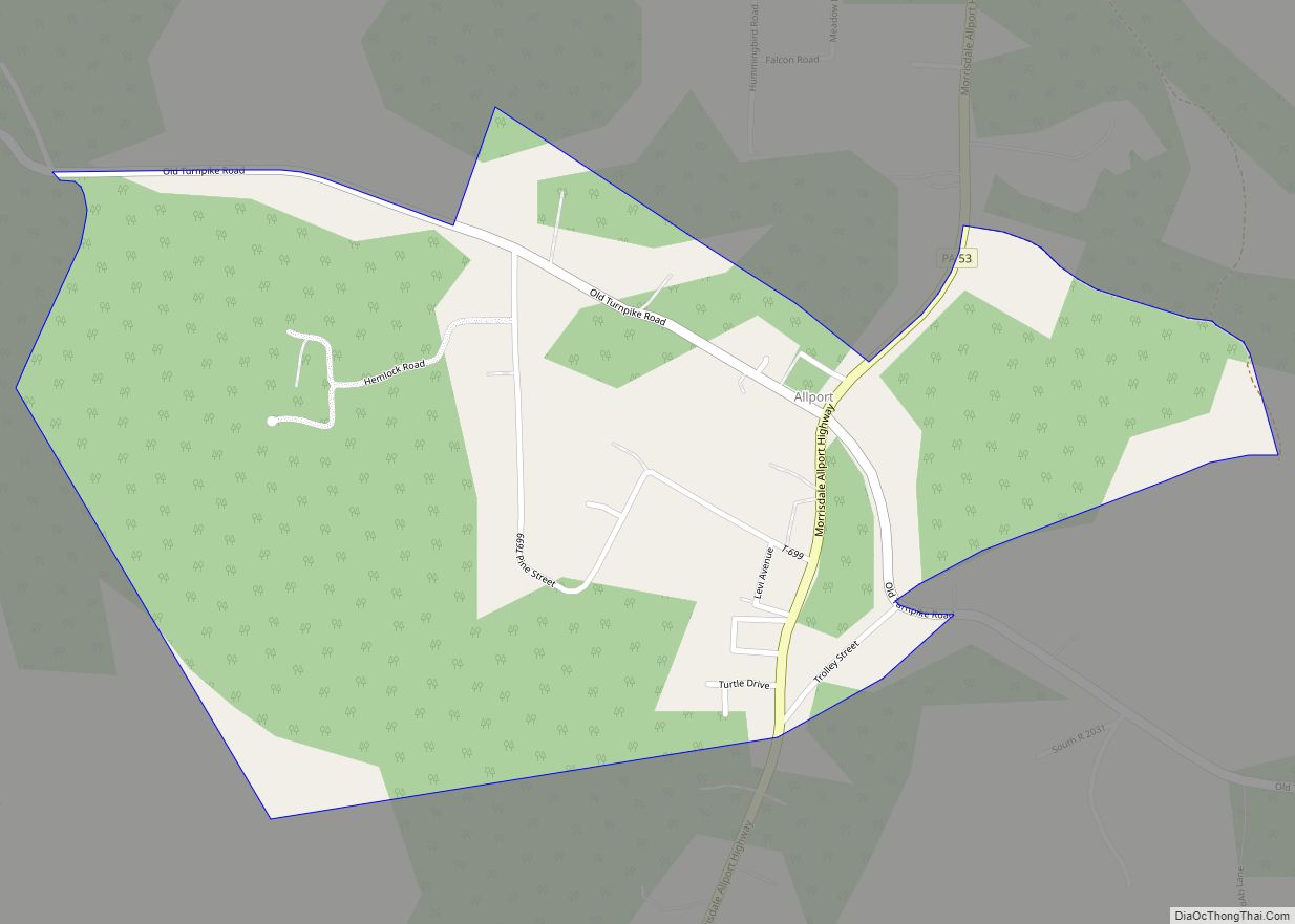
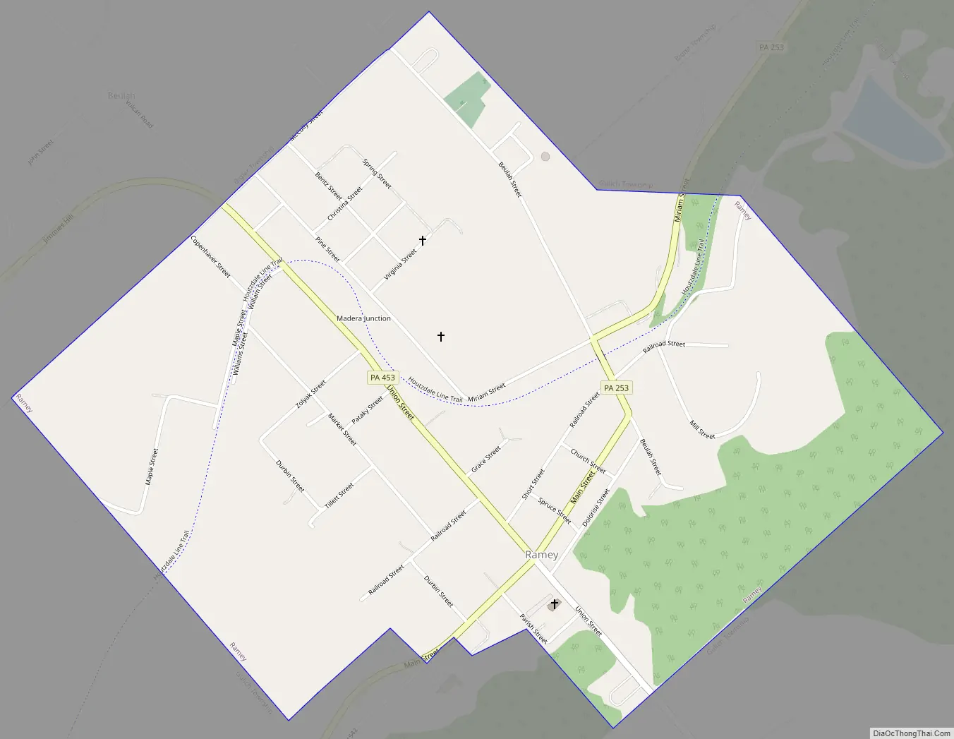
Ramey location map. Where is Ramey borough?


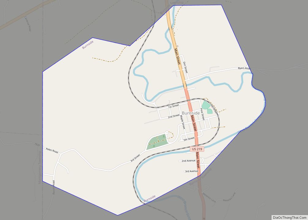
Ramey Road Map
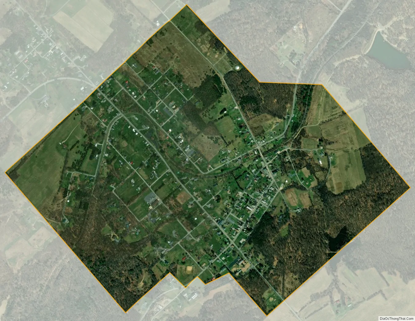
Ramey city Satellite Map
Geography
Ramey is located in southeastern Clearfield County at 40°48′1″N 78°24′5″W / 40.80028°N 78.40139°W / 40.80028; -78.40139 (40.800186, -78.401307), at the intersection of Pennsylvania Routes 253 and 453. PA 253 leads northeast 3.5 miles (5.6 km) to Houtzdale, and PA 453 leads northwest 4 miles (6 km) to Madera. The two highways together lead southwest 3 miles (5 km) to Janesville.
According to the United States Census Bureau, the borough of Ramey has a total area of 0.93 square miles (2.4 km), of which 0.004 square miles (0.01 km), or 0.41%, is water.
See also
Map of Pennsylvania State and its subdivision:- Adams
- Allegheny
- Armstrong
- Beaver
- Bedford
- Berks
- Blair
- Bradford
- Bucks
- Butler
- Cambria
- Cameron
- Carbon
- Centre
- Chester
- Clarion
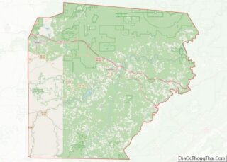
- Clearfield
- Clinton
- Columbia
- Crawford
- Cumberland
- Dauphin
- Delaware
- Elk
- Erie
- Fayette
- Forest
- Franklin
- Fulton
- Greene
- Huntingdon
- Indiana
- Jefferson
- Juniata
- Lackawanna
- Lancaster
- Lawrence
- Lebanon
- Lehigh
- Luzerne
- Lycoming
- Mc Kean
- Mercer
- Mifflin
- Monroe
- Montgomery
- Montour
- Northampton
- Northumberland
- Perry
- Philadelphia
- Pike
- Potter
- Schuylkill
- Snyder
- Somerset
- Sullivan
- Susquehanna
- Tioga
- Union
- Venango
- Warren
- Washington
- Wayne
- Westmoreland
- Wyoming
- York
- Alabama
- Alaska
- Arizona
- Arkansas
- California
- Colorado
- Connecticut
- Delaware
- District of Columbia
- Florida
- Georgia
- Hawaii
- Idaho
- Illinois
- Indiana
- Iowa
- Kansas
- Kentucky
- Louisiana
- Maine
- Maryland
- Massachusetts
- Michigan
- Minnesota
- Mississippi
- Missouri
- Montana
- Nebraska
- Nevada
- New Hampshire
- New Jersey
- New Mexico
- New York
- North Carolina
- North Dakota
- Ohio
- Oklahoma
- Oregon
- Pennsylvania
- Rhode Island
- South Carolina
- South Dakota
- Tennessee
- Texas
- Utah
- Vermont
- Virginia
- Washington
- West Virginia
- Wisconsin
- Wyoming