Jamison City is a census-designated place in Sugarloaf Township, Columbia County, Pennsylvania, United States. It is part of Northeastern Pennsylvania. The population was 134 at the 2010 census. It is part of the Bloomsburg-Berwick micropolitan area.
| Name: | Jamison City CDP |
|---|---|
| LSAD Code: | 57 |
| LSAD Description: | CDP (suffix) |
| State: | Pennsylvania |
| County: | Columbia County |
| Elevation: | 1,070 ft (330 m) |
| Total Area: | 0.39 sq mi (1.01 km²) |
| Land Area: | 0.39 sq mi (1.01 km²) |
| Water Area: | 0.00 sq mi (0.00 km²) |
| Total Population: | 111 |
| Population Density: | 286.08/sq mi (110.38/km²) |
| ZIP code: | 17814 |
| FIPS code: | 4237728 |
| GNISfeature ID: | 1177983 |
Online Interactive Map
Click on ![]() to view map in "full screen" mode.
to view map in "full screen" mode.
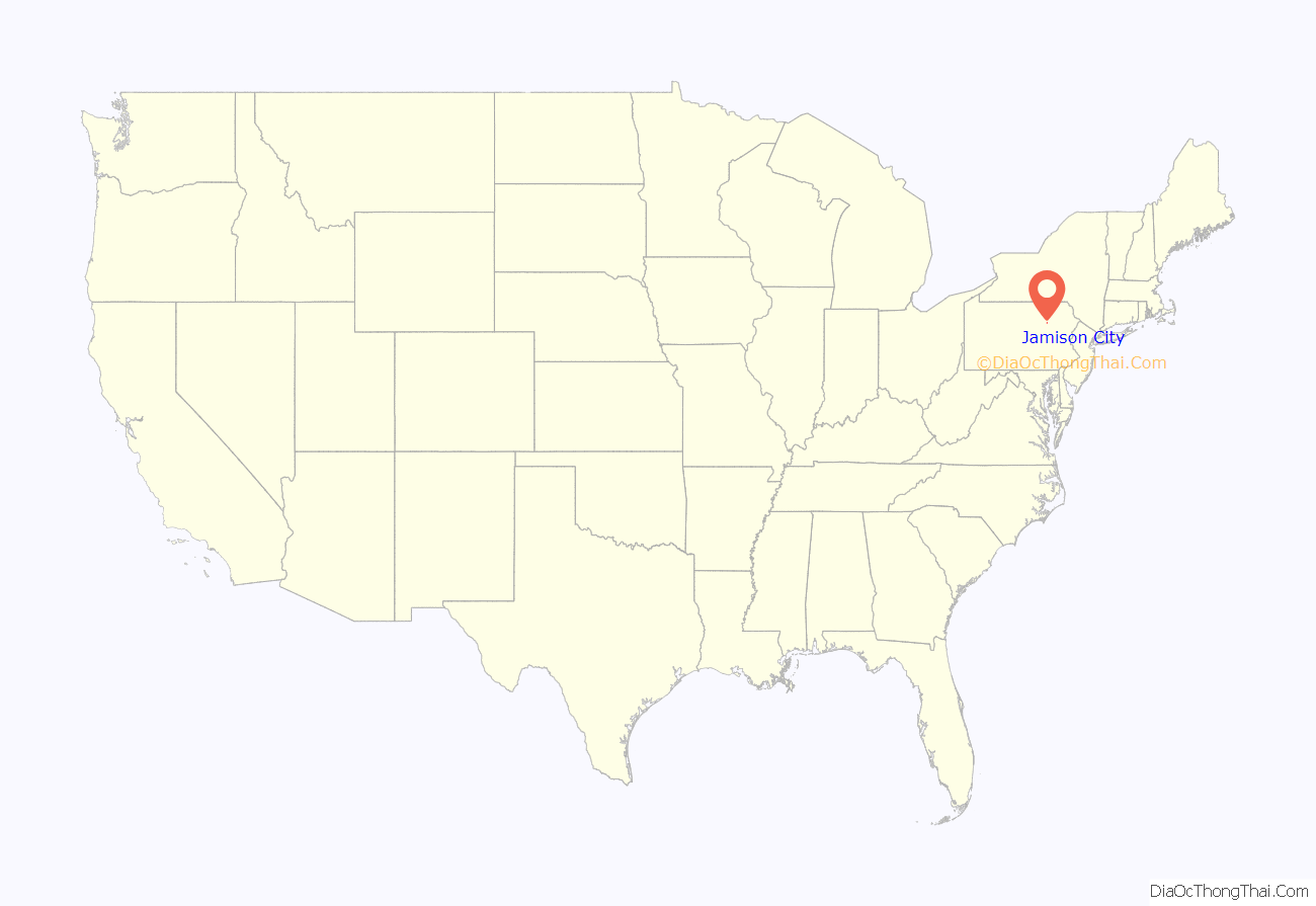
Jamison City location map. Where is Jamison City CDP?
History
Jamison City was formed at the northern terminus of the Bloomsburg and Sullivan Railroad. In 1889 a sawmill was built in Jamison City. However, it stopped producing wood in 1912, and the final load of lumber from it was shipped to Bloomsburg in 1914. A tannery was built in Jamison City, but it was closed in 1925.
Jamison City Road Map
Jamison City city Satellite Map
Geography
Jamison City is located at 41°18′5″N 76°21′59″W / 41.30139°N 76.36639°W / 41.30139; -76.36639 (41.301523, -76.366443), in the northern reaches of Columbia County. It is in northern Sugarloaf Township and is bordered on the north by Davidson Township in Sullivan County. According to the United States Census Bureau, the CDP has a total area of 0.4 square miles (1.0 km), all land.
The CDP is situated on mostly level terrain, and surrounded on the north, east, and west by mountains. The East Branch of Fishing Creek runs through Jamison City.
See also
Map of Pennsylvania State and its subdivision:- Adams
- Allegheny
- Armstrong
- Beaver
- Bedford
- Berks
- Blair
- Bradford
- Bucks
- Butler
- Cambria
- Cameron
- Carbon
- Centre
- Chester
- Clarion
- Clearfield
- Clinton
- Columbia
- Crawford
- Cumberland
- Dauphin
- Delaware
- Elk
- Erie
- Fayette
- Forest
- Franklin
- Fulton
- Greene
- Huntingdon
- Indiana
- Jefferson
- Juniata
- Lackawanna
- Lancaster
- Lawrence
- Lebanon
- Lehigh
- Luzerne
- Lycoming
- Mc Kean
- Mercer
- Mifflin
- Monroe
- Montgomery
- Montour
- Northampton
- Northumberland
- Perry
- Philadelphia
- Pike
- Potter
- Schuylkill
- Snyder
- Somerset
- Sullivan
- Susquehanna
- Tioga
- Union
- Venango
- Warren
- Washington
- Wayne
- Westmoreland
- Wyoming
- York
- Alabama
- Alaska
- Arizona
- Arkansas
- California
- Colorado
- Connecticut
- Delaware
- District of Columbia
- Florida
- Georgia
- Hawaii
- Idaho
- Illinois
- Indiana
- Iowa
- Kansas
- Kentucky
- Louisiana
- Maine
- Maryland
- Massachusetts
- Michigan
- Minnesota
- Mississippi
- Missouri
- Montana
- Nebraska
- Nevada
- New Hampshire
- New Jersey
- New Mexico
- New York
- North Carolina
- North Dakota
- Ohio
- Oklahoma
- Oregon
- Pennsylvania
- Rhode Island
- South Carolina
- South Dakota
- Tennessee
- Texas
- Utah
- Vermont
- Virginia
- Washington
- West Virginia
- Wisconsin
- Wyoming
