Littlestown is a borough in Adams County, Pennsylvania, United States. The population was 4,782 at the 2020 census.
Originally laid out by Peter Klein in 1760, the town was first named “Petersburg”. German settlers in the area came to call the town “Kleine Stedtle”. As confusion between the town and a neighboring town (also named “Petersburg”, now York Springs) grew, the town officially changed its name to Littlestown (essentially a translation of “Kleine Stedtle” from German) in 1795.
| Name: | Littlestown borough |
|---|---|
| LSAD Code: | 21 |
| LSAD Description: | borough (suffix) |
| State: | Pennsylvania |
| County: | Adams County |
| Incorporated: | 1864 |
| Elevation: | 627 ft (191 m) |
| Total Area: | 1.50 sq mi (3.89 km²) |
| Land Area: | 1.50 sq mi (3.89 km²) |
| Water Area: | 0.00 sq mi (0.00 km²) |
| Total Population: | 4,782 |
| Population Density: | 3,181.64/sq mi (1,228.55/km²) |
| Area code: | 717 and 223 |
| FIPS code: | 4243944 |
| Website: | www.littlestownboro.org |
Online Interactive Map
Click on ![]() to view map in "full screen" mode.
to view map in "full screen" mode.
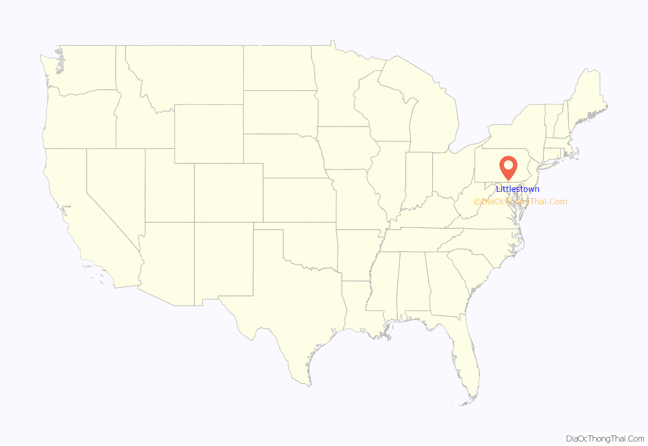
Littlestown location map. Where is Littlestown borough?
Littlestown Road Map
Littlestown city Satellite Map
Geography
Littlestown is located at 39°44′37″N 77°5′21″W / 39.74361°N 77.08917°W / 39.74361; -77.08917 (39.743749, -77.089240). According to the U.S. Census Bureau, the borough has a total area of 1.6 square miles (4.1 km), all land. Littlestown is surrounded by three larger towns, Hanover and Gettysburg in Pennsylvania and Westminster, Maryland, all within 20 miles (32 km) driving distance.
See also
Map of Pennsylvania State and its subdivision:- Adams
- Allegheny
- Armstrong
- Beaver
- Bedford
- Berks
- Blair
- Bradford
- Bucks
- Butler
- Cambria
- Cameron
- Carbon
- Centre
- Chester
- Clarion
- Clearfield
- Clinton
- Columbia
- Crawford
- Cumberland
- Dauphin
- Delaware
- Elk
- Erie
- Fayette
- Forest
- Franklin
- Fulton
- Greene
- Huntingdon
- Indiana
- Jefferson
- Juniata
- Lackawanna
- Lancaster
- Lawrence
- Lebanon
- Lehigh
- Luzerne
- Lycoming
- Mc Kean
- Mercer
- Mifflin
- Monroe
- Montgomery
- Montour
- Northampton
- Northumberland
- Perry
- Philadelphia
- Pike
- Potter
- Schuylkill
- Snyder
- Somerset
- Sullivan
- Susquehanna
- Tioga
- Union
- Venango
- Warren
- Washington
- Wayne
- Westmoreland
- Wyoming
- York
- Alabama
- Alaska
- Arizona
- Arkansas
- California
- Colorado
- Connecticut
- Delaware
- District of Columbia
- Florida
- Georgia
- Hawaii
- Idaho
- Illinois
- Indiana
- Iowa
- Kansas
- Kentucky
- Louisiana
- Maine
- Maryland
- Massachusetts
- Michigan
- Minnesota
- Mississippi
- Missouri
- Montana
- Nebraska
- Nevada
- New Hampshire
- New Jersey
- New Mexico
- New York
- North Carolina
- North Dakota
- Ohio
- Oklahoma
- Oregon
- Pennsylvania
- Rhode Island
- South Carolina
- South Dakota
- Tennessee
- Texas
- Utah
- Vermont
- Virginia
- Washington
- West Virginia
- Wisconsin
- Wyoming
