Marietta is a borough in Lancaster County, Pennsylvania, United States. The population was 2,633 at the 2020 census. It is located on the east bank of the Susquehanna River, northwest of Columbia.
| Name: | Marietta borough |
|---|---|
| LSAD Code: | 21 |
| LSAD Description: | borough (suffix) |
| State: | Pennsylvania |
| County: | Lancaster County |
| Elevation: | 279 ft (85 m) |
| Total Area: | 0.75 sq mi (1.95 km²) |
| Land Area: | 0.75 sq mi (1.93 km²) |
| Water Area: | 0.01 sq mi (0.02 km²) |
| Total Population: | 2,623 |
| Population Density: | 3,511.38/sq mi (1,356.05/km²) |
| ZIP code: | 17547 |
| FIPS code: | 4247424 |
| Website: | www.boroughofmarietta.com |
Online Interactive Map
Click on ![]() to view map in "full screen" mode.
to view map in "full screen" mode.
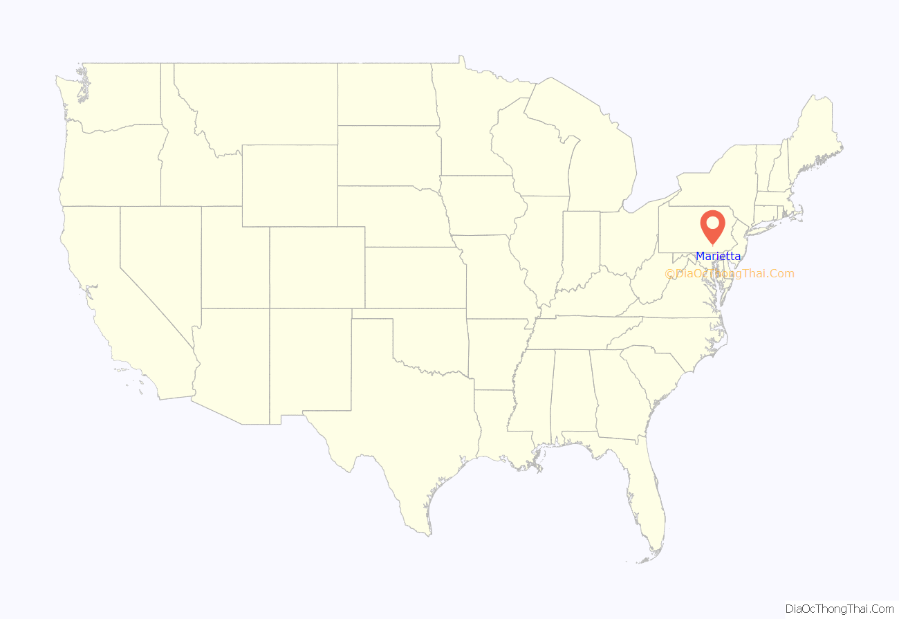
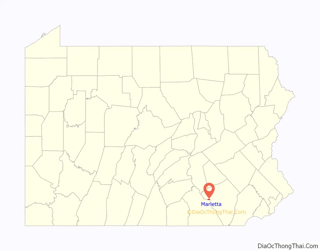
Marietta location map. Where is Marietta borough?
History
In 1727, James Anderson made a lottery that laid out part of present-day Marietta. Later David Cook laid another portion of present-day Marietta. Further development by Jacob Grosh, John Myers, John Peadan, James Mehaffey, Benjamin Long, and James Huffy laid out the rest of present-day Marietta. In 1812, the borough was incorporated, merging all the areas of town except for the western portion of the borough which was extended into Marietta at a later date.
For the first few years of existence, the growth of the borough was meager. Then an economic crisis struck the town, not relenting until around 1830. Thereafter, industries such as timber and iron smelting provided many economic opportunities in the borough.
The borough’s name is an amalgamation of the first names of Mary Cook and Etta Anderson, the wives of two first settlers.
The Ashley and Bailey Silk Mill, Joseph Bucher House, Chickies Historic District, Linden House, and Marietta Historic District are listed on the National Register of Historic Places.
Marietta Road Map
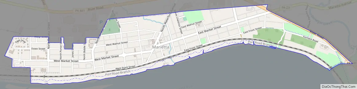
Marietta city Satellite Map

Geography
Marietta is located in western Lancaster County at 40°3′26″N 76°33′21″W / 40.05722°N 76.55583°W / 40.05722; -76.55583 (40.057169, -76.555955). It is bordered to the north, east, and west by East Donegal Township, and to the south, across the Susquehanna River, by Hellam Township in York County.
According to the U.S. Census Bureau, the borough has a total area of 0.75 square miles (1.9 km), of which 0.007 square miles (0.018 km), or 0.93%, are water.
Market Street runs the whole length of the town. The east/west divider is Waterford Avenue. Pennsylvania Route 441 passes just north of the borough and forms part of its northeastern border; the highway leads southeast 3.5 miles (5.6 km) to Columbia and northwest (upriver) 15 miles (24 km) to Middletown.
See also
Map of Pennsylvania State and its subdivision:- Adams
- Allegheny
- Armstrong
- Beaver
- Bedford
- Berks
- Blair
- Bradford
- Bucks
- Butler
- Cambria
- Cameron
- Carbon
- Centre
- Chester
- Clarion
- Clearfield
- Clinton
- Columbia
- Crawford
- Cumberland
- Dauphin
- Delaware
- Elk
- Erie
- Fayette
- Forest
- Franklin
- Fulton
- Greene
- Huntingdon
- Indiana
- Jefferson
- Juniata
- Lackawanna
- Lancaster
- Lawrence
- Lebanon
- Lehigh
- Luzerne
- Lycoming
- Mc Kean
- Mercer
- Mifflin
- Monroe
- Montgomery
- Montour
- Northampton
- Northumberland
- Perry
- Philadelphia
- Pike
- Potter
- Schuylkill
- Snyder
- Somerset
- Sullivan
- Susquehanna
- Tioga
- Union
- Venango
- Warren
- Washington
- Wayne
- Westmoreland
- Wyoming
- York
- Alabama
- Alaska
- Arizona
- Arkansas
- California
- Colorado
- Connecticut
- Delaware
- District of Columbia
- Florida
- Georgia
- Hawaii
- Idaho
- Illinois
- Indiana
- Iowa
- Kansas
- Kentucky
- Louisiana
- Maine
- Maryland
- Massachusetts
- Michigan
- Minnesota
- Mississippi
- Missouri
- Montana
- Nebraska
- Nevada
- New Hampshire
- New Jersey
- New Mexico
- New York
- North Carolina
- North Dakota
- Ohio
- Oklahoma
- Oregon
- Pennsylvania
- Rhode Island
- South Carolina
- South Dakota
- Tennessee
- Texas
- Utah
- Vermont
- Virginia
- Washington
- West Virginia
- Wisconsin
- Wyoming


