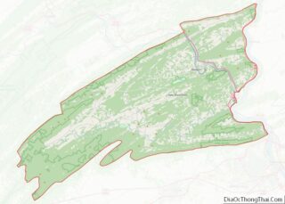
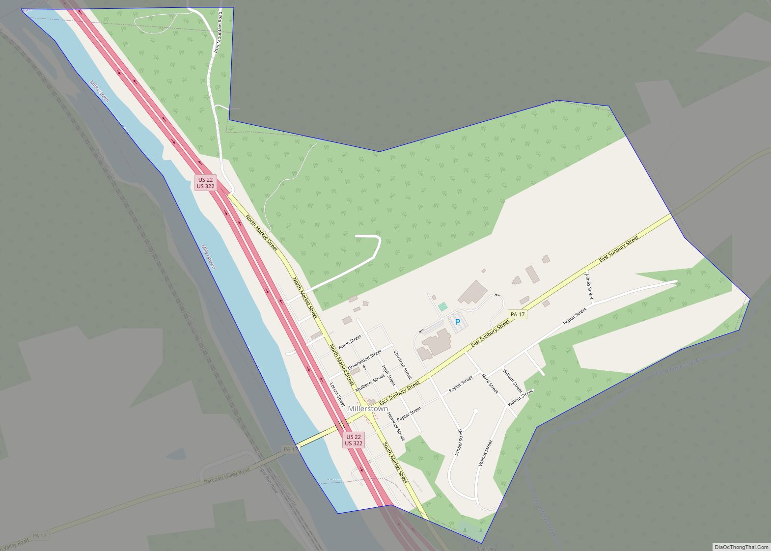
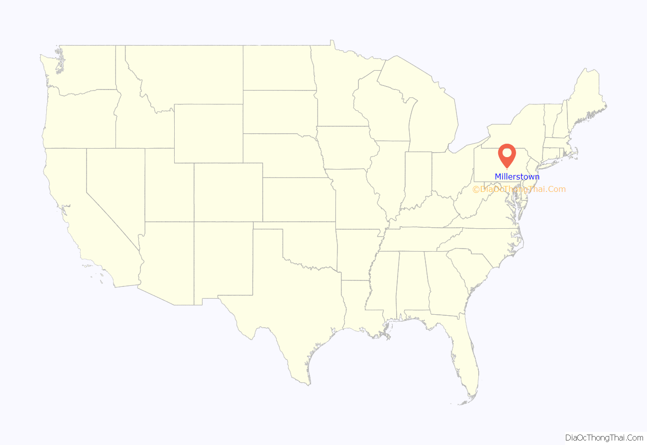
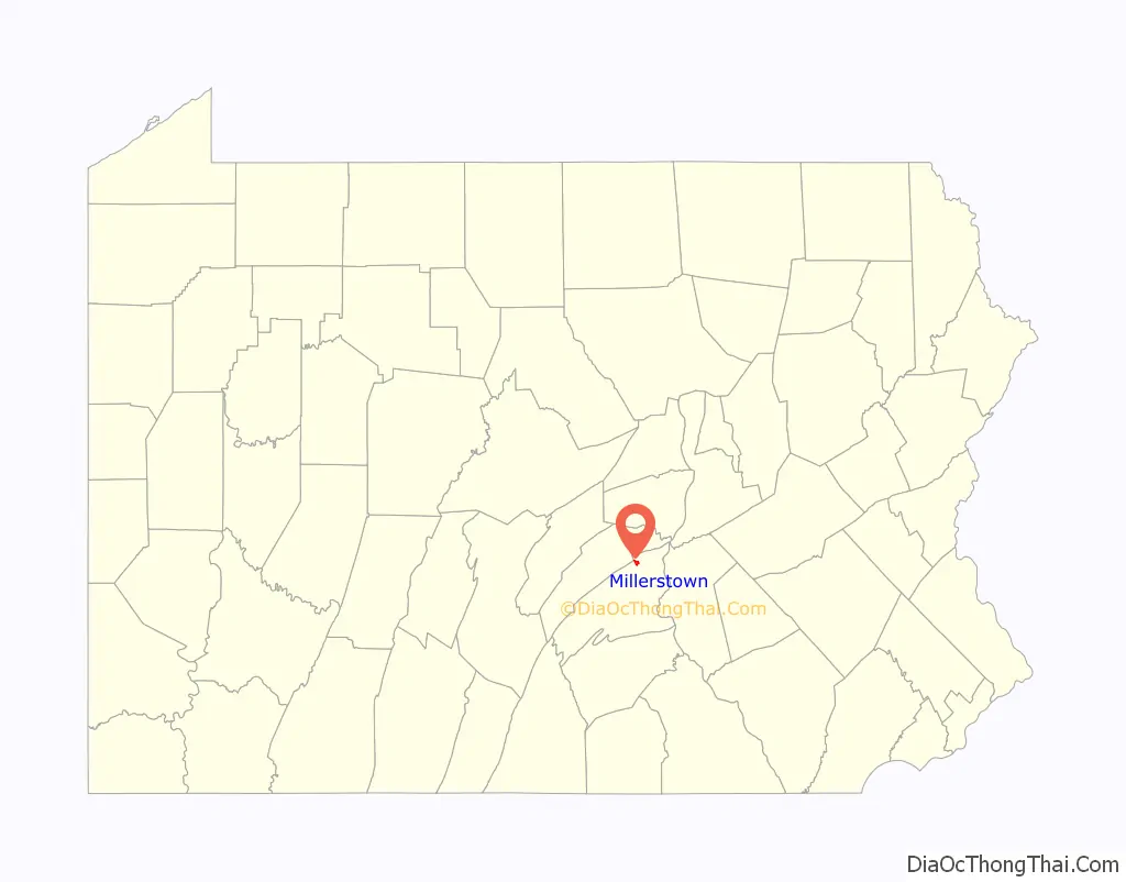
Millerstown is a borough in northern Perry County, Pennsylvania, United States, located (via road) 29 miles (47 km) northwest of Harrisburg and 29 miles (47 km) southwest of Selinsgrove. The population was 688 at the 2020 Census. The borough is part of the Harrisburg–Carlisle Metropolitan Statistical Area.
| Name: | Millerstown borough |
|---|---|
| LSAD Code: | 21 |
| LSAD Description: | borough (suffix) |
| State: | Pennsylvania |
| County: | Perry County |
| Incorporated: | 1849 |
| Total Area: | 0.92 sq mi (2.38 km²) |
| Land Area: | 0.84 sq mi (2.19 km²) |
| Water Area: | 0.07 sq mi (0.19 km²) |
| Total Population: | 691 |
| Population Density: | 817.75/sq mi (315.63/km²) |
| Area code: | 717, 223 |
| FIPS code: | 4249720 |
Online Interactive Map
Click on ![]() to view map in "full screen" mode.
to view map in "full screen" mode.
Millerstown location map. Where is Millerstown borough?
History
Millerstown is located on a tract of land originally sold to James Gallagher on September 23, 1766; however, there is evidence that a small town named “Smithfield” was founded by him before then.
This plot of ground was later sold to David Miller on September 1, 1780, who filed for a patent in 1790 for the “laying out of the town,” thus making Miller’s Town the first town to be plotted for sale in the territory at that time comprising Perry County. Miller’s Town was later combined to form Millerstown.
Millerstown Borough was incorporated February 12, 1849, and the first meeting of the newly formed town council was held on April 14, 1849. Abraham Addams was the first chief burgess (mayor), and John M. Cauffman, Christian Beck, James R. Gilmer, and Jacob Emerick, were members of the first borough council. Thomas P. Cochran was the first council clerk with a salary of $2.50 a year.
Millerstown is home to many old stone houses, some dating back to the 18th century.
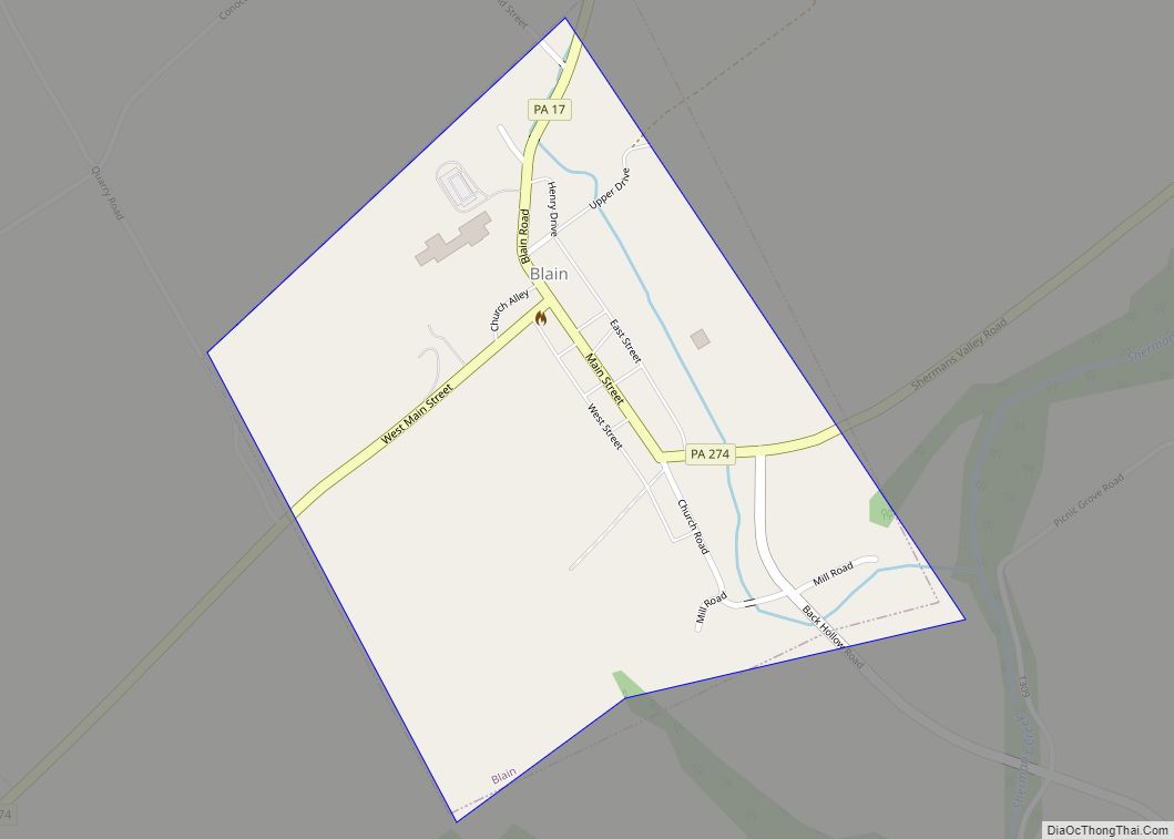
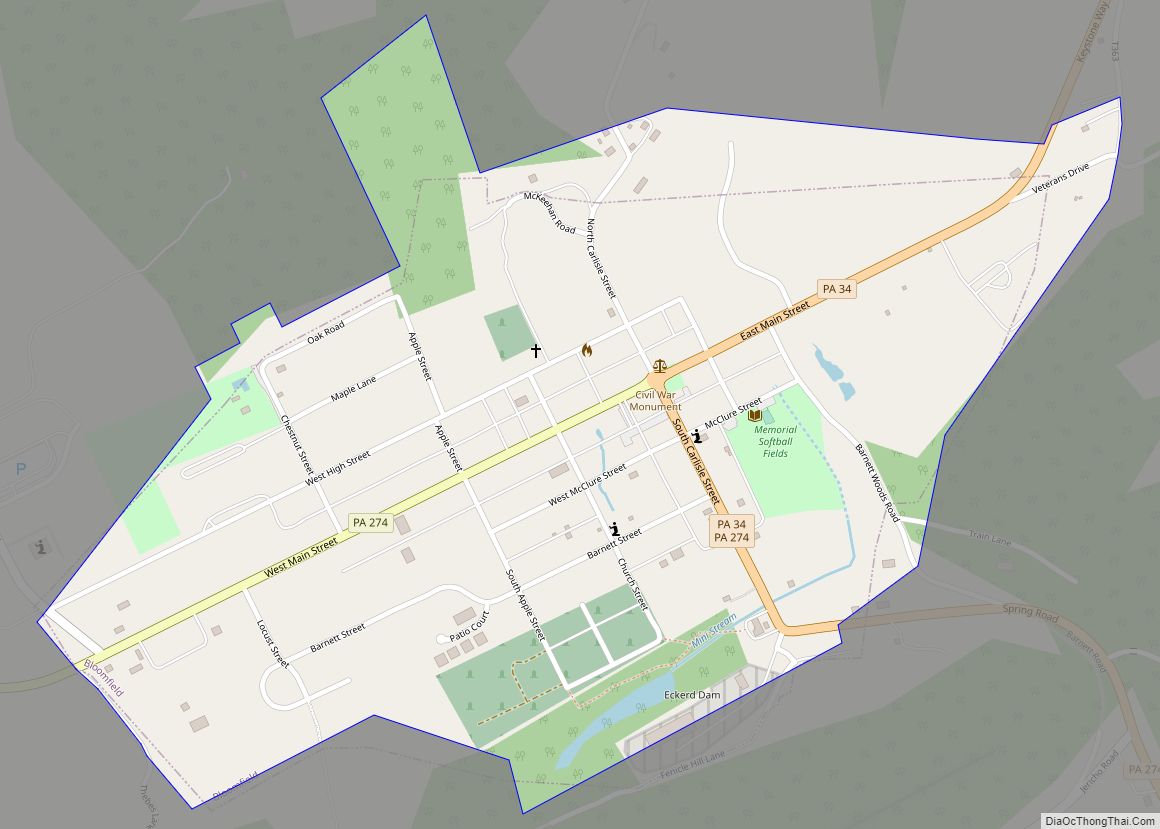
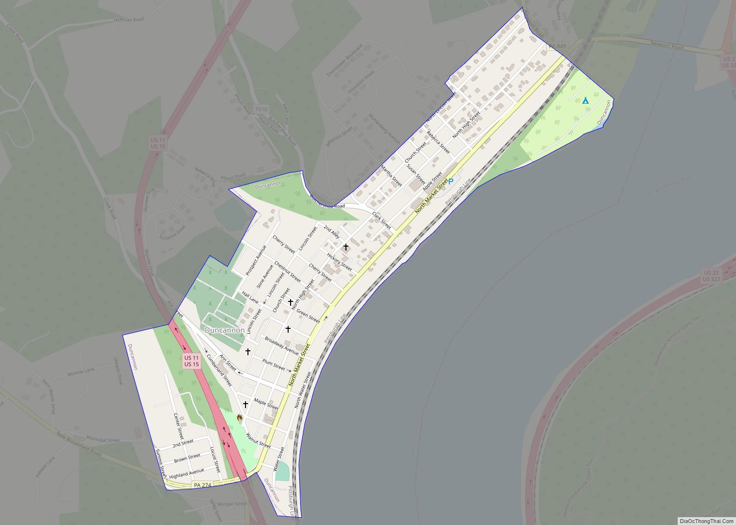
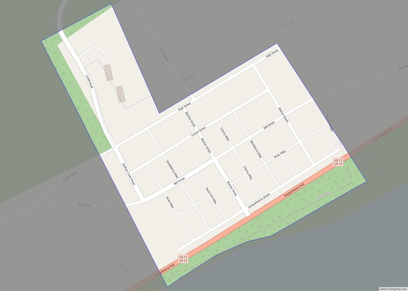
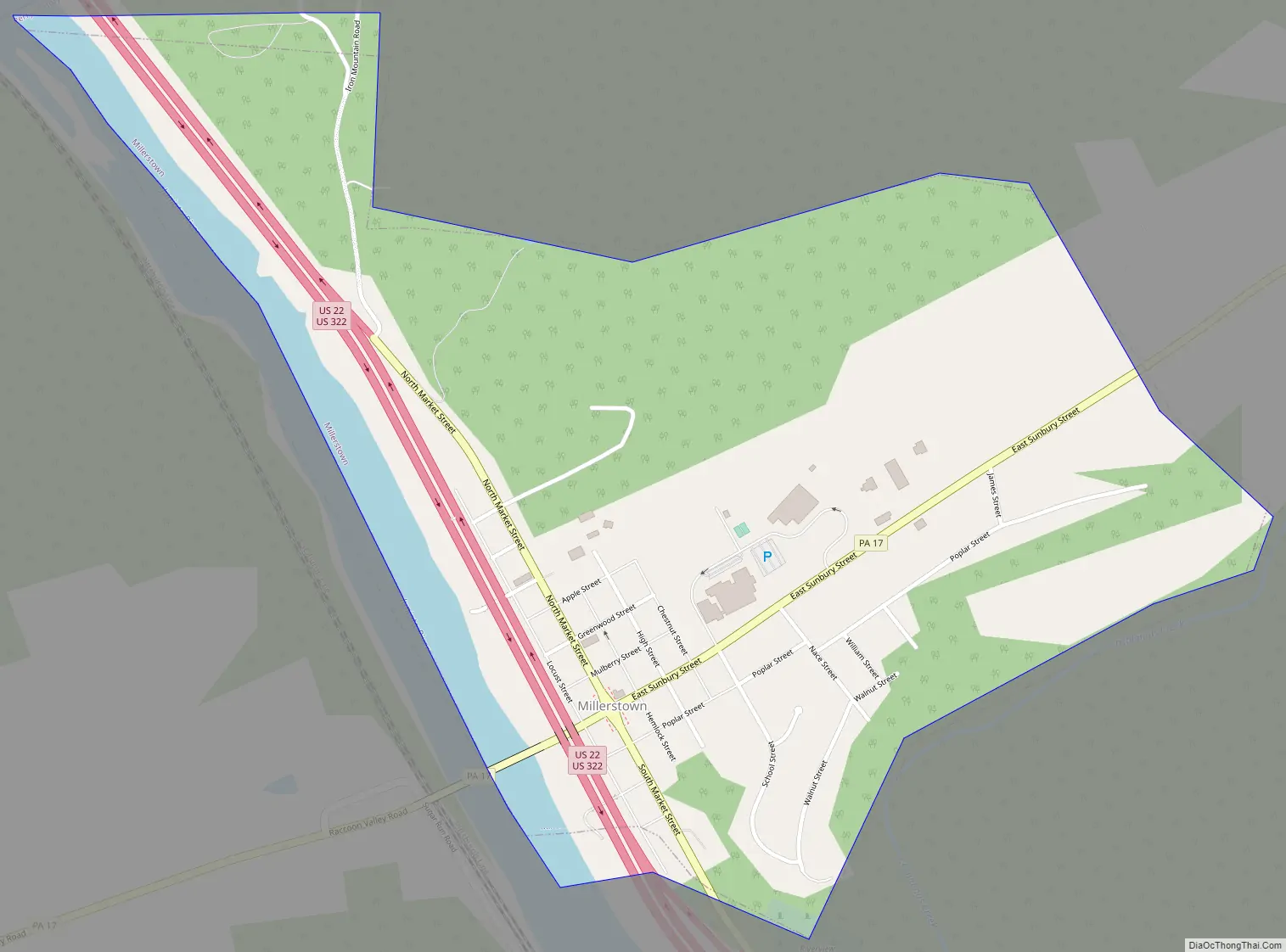
Millerstown Road Map
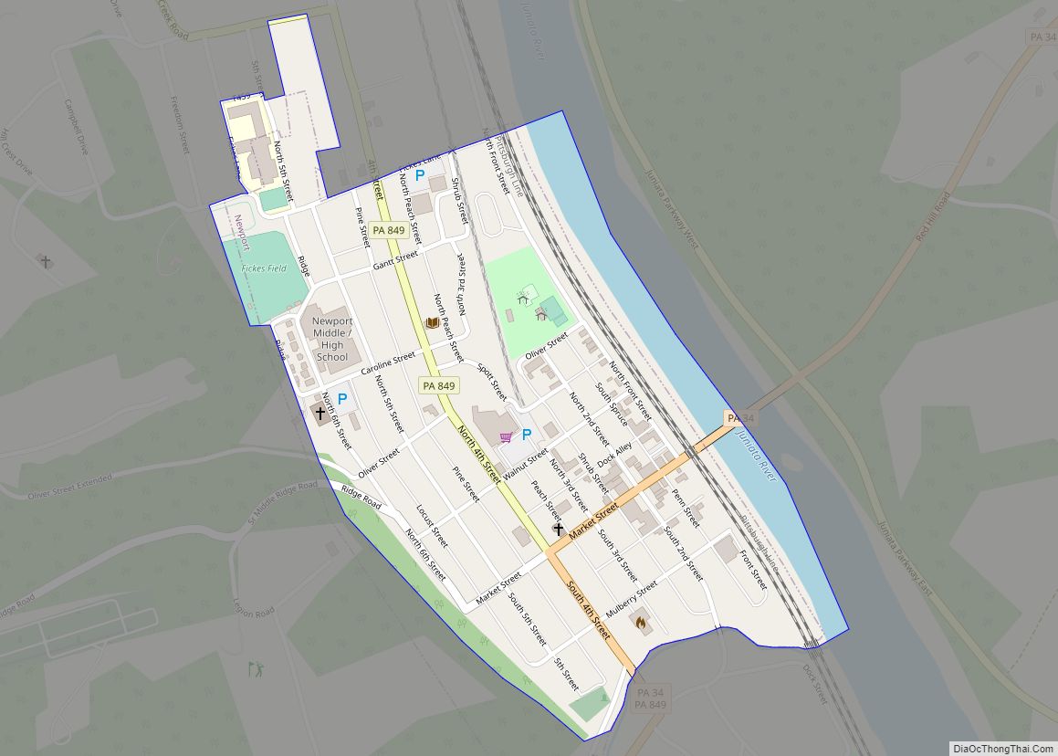
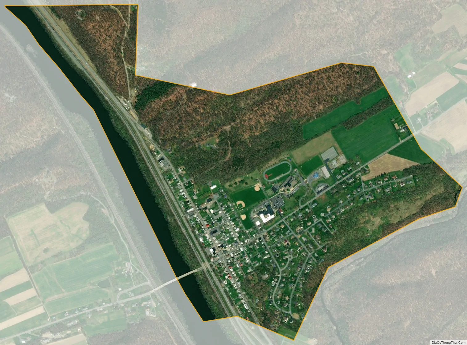
Millerstown city Satellite Map
Geography
Millerstown is located at 40°33′3″N 77°9′17″W / 40.55083°N 77.15472°W / 40.55083; -77.15472 (40.550884, -77.154659), along the Juniata River in northern Perry County, at the junctions of U.S. Routes 22 and 322 and Pennsylvania Route 17. It is 33 miles northwest of the state capital, Harrisburg.
According to the United States Census Bureau, the borough has a total area of 0.9 square miles (2.3 km), of which 0.9 square miles (2.3 km) is land and 0.1 square miles (0.26 km) (6.52%) is water.
See also
Map of Pennsylvania State and its subdivision:- Adams
- Allegheny
- Armstrong
- Beaver
- Bedford
- Berks
- Blair
- Bradford
- Bucks
- Butler
- Cambria
- Cameron
- Carbon
- Centre
- Chester
- Clarion
- Clearfield
- Clinton
- Columbia
- Crawford
- Cumberland
- Dauphin
- Delaware
- Elk
- Erie
- Fayette
- Forest
- Franklin
- Fulton
- Greene
- Huntingdon
- Indiana
- Jefferson
- Juniata
- Lackawanna
- Lancaster
- Lawrence
- Lebanon
- Lehigh
- Luzerne
- Lycoming
- Mc Kean
- Mercer
- Mifflin
- Monroe
- Montgomery
- Montour
- Northampton
- Northumberland
- Perry
- Philadelphia
- Pike
- Potter
- Schuylkill
- Snyder
- Somerset
- Sullivan
- Susquehanna
- Tioga
- Union
- Venango
- Warren
- Washington
- Wayne
- Westmoreland
- Wyoming
- York
- Alabama
- Alaska
- Arizona
- Arkansas
- California
- Colorado
- Connecticut
- Delaware
- District of Columbia
- Florida
- Georgia
- Hawaii
- Idaho
- Illinois
- Indiana
- Iowa
- Kansas
- Kentucky
- Louisiana
- Maine
- Maryland
- Massachusetts
- Michigan
- Minnesota
- Mississippi
- Missouri
- Montana
- Nebraska
- Nevada
- New Hampshire
- New Jersey
- New Mexico
- New York
- North Carolina
- North Dakota
- Ohio
- Oklahoma
- Oregon
- Pennsylvania
- Rhode Island
- South Carolina
- South Dakota
- Tennessee
- Texas
- Utah
- Vermont
- Virginia
- Washington
- West Virginia
- Wisconsin
- Wyoming