Millersville is a borough in Lancaster County, Pennsylvania, United States. At the 2020 census the population was 7,629 and in 2021 it was estimated at 7,593.
| Name: | Millersville borough |
|---|---|
| LSAD Code: | 21 |
| LSAD Description: | borough (suffix) |
| State: | Pennsylvania |
| County: | Lancaster County |
| Elevation: | 315 ft (96 m) |
| Total Area: | 1.94 sq mi (5.03 km²) |
| Land Area: | 1.93 sq mi (5.01 km²) |
| Water Area: | 0.01 sq mi (0.02 km²) |
| Total Population: | 7,903 |
| Population Density: | 4,088.46/sq mi (1,578.21/km²) |
| ZIP code: | 17551 |
| FIPS code: | 4249728 |
| Website: | www.millersvilleborough.org |
Online Interactive Map
Click on ![]() to view map in "full screen" mode.
to view map in "full screen" mode.
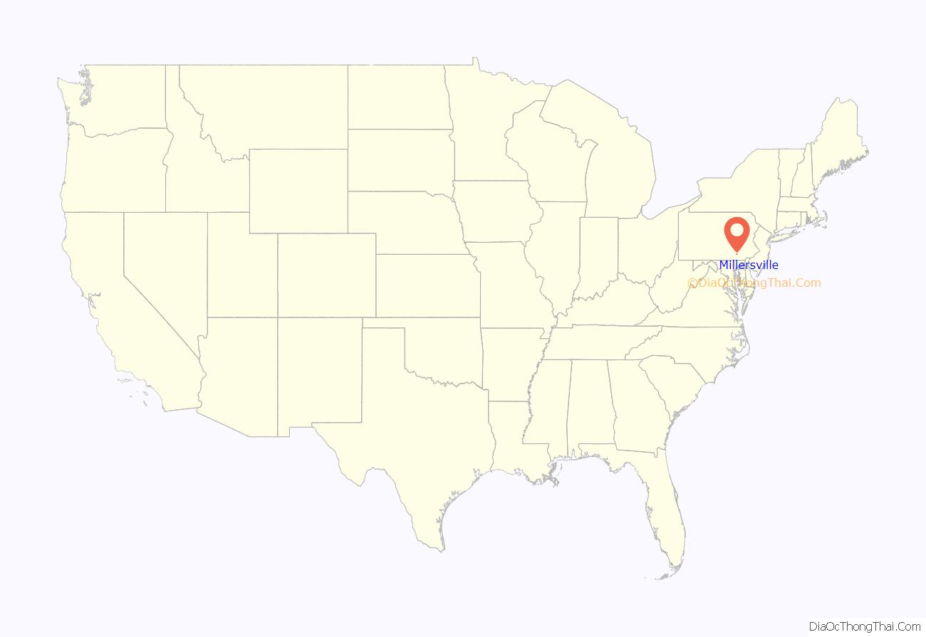
Millersville location map. Where is Millersville borough?
History
Originally farmland in then Manor Township owned by John Miller, Millerstown was a crossroads for goods and sales brought from the local farming communities into Lancaster City. Later the town’s name was changed to “Millersville”, and it was incorporated as a separate borough in Lancaster County. Millersville is the location of the first teachers’ academy in the state, established in 1854. Later, in 1855, it was chartered as a state normal school. Today, the college is Millersville University, which is part of the Pennsylvania State System of Higher Education.
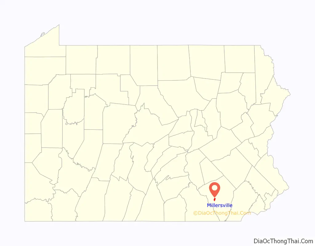
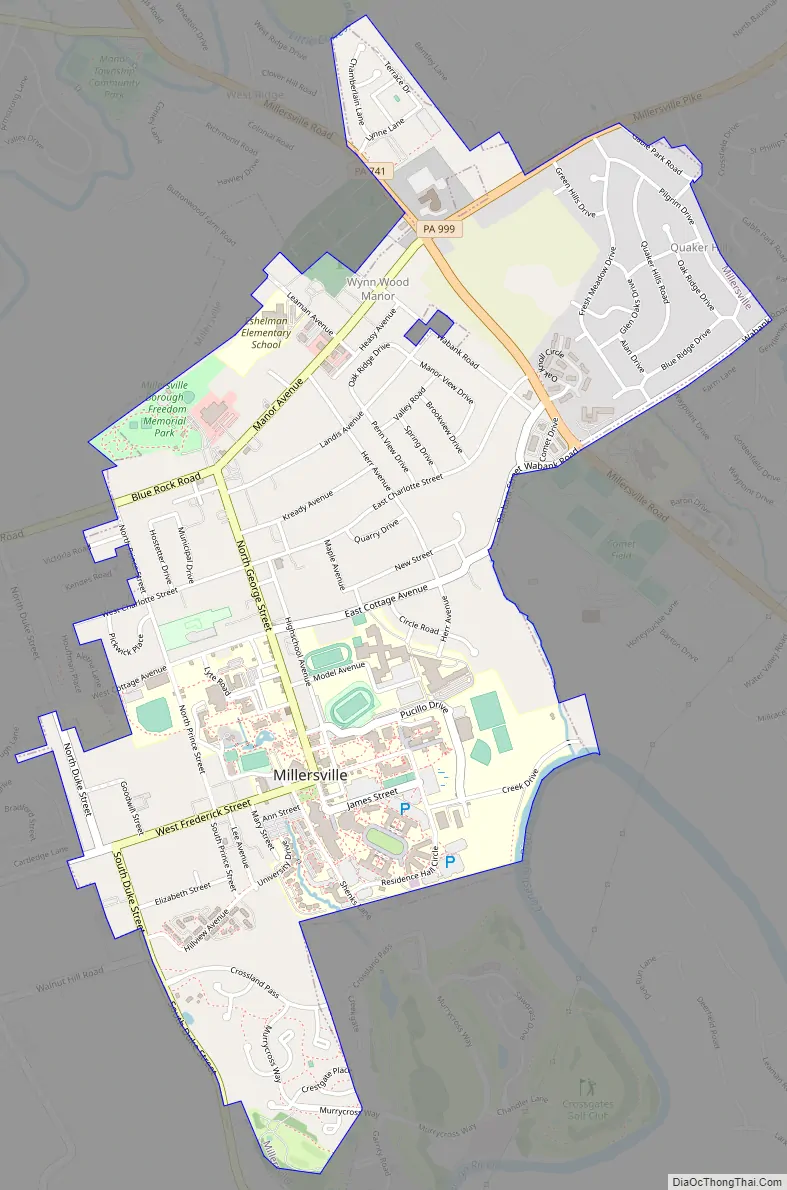
Millersville Road Map
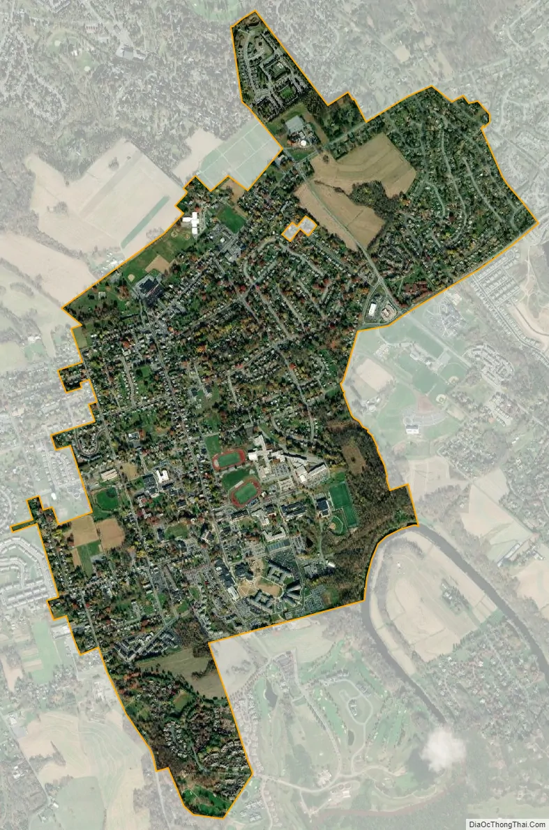
Millersville city Satellite Map
Geography
Millersville is located in central Lancaster County at 40°0′22″N 76°21′5″W / 40.00611°N 76.35139°W / 40.00611; -76.35139 (40.006148, -76.351349). It is 4 miles (6 km) southwest of Lancaster, the county seat.
According to the United States Census Bureau, the borough has a total area of 1.94 square miles (5.02 km), of which 0.008 square miles (0.021 km), or 0.41%, are water. A small portion of the southern border of the borough touches the Conestoga River, a tributary of the Susquehanna. Millersville University is in the southern part of the borough.
See also
Map of Pennsylvania State and its subdivision:- Adams
- Allegheny
- Armstrong
- Beaver
- Bedford
- Berks
- Blair
- Bradford
- Bucks
- Butler
- Cambria
- Cameron
- Carbon
- Centre
- Chester
- Clarion
- Clearfield
- Clinton
- Columbia
- Crawford
- Cumberland
- Dauphin
- Delaware
- Elk
- Erie
- Fayette
- Forest
- Franklin
- Fulton
- Greene
- Huntingdon
- Indiana
- Jefferson
- Juniata
- Lackawanna
- Lancaster
- Lawrence
- Lebanon
- Lehigh
- Luzerne
- Lycoming
- Mc Kean
- Mercer
- Mifflin
- Monroe
- Montgomery
- Montour
- Northampton
- Northumberland
- Perry
- Philadelphia
- Pike
- Potter
- Schuylkill
- Snyder
- Somerset
- Sullivan
- Susquehanna
- Tioga
- Union
- Venango
- Warren
- Washington
- Wayne
- Westmoreland
- Wyoming
- York
- Alabama
- Alaska
- Arizona
- Arkansas
- California
- Colorado
- Connecticut
- Delaware
- District of Columbia
- Florida
- Georgia
- Hawaii
- Idaho
- Illinois
- Indiana
- Iowa
- Kansas
- Kentucky
- Louisiana
- Maine
- Maryland
- Massachusetts
- Michigan
- Minnesota
- Mississippi
- Missouri
- Montana
- Nebraska
- Nevada
- New Hampshire
- New Jersey
- New Mexico
- New York
- North Carolina
- North Dakota
- Ohio
- Oklahoma
- Oregon
- Pennsylvania
- Rhode Island
- South Carolina
- South Dakota
- Tennessee
- Texas
- Utah
- Vermont
- Virginia
- Washington
- West Virginia
- Wisconsin
- Wyoming


