Orwigsburg is a borough in Schuylkill County, Pennsylvania. The borough was named for its founder, Peter Orwig, and created from West Brunswick Township in 1823.
It was the original county seat until the seat was moved to Pottsville in 1851.
The population was 2,995 at the time of the 2020 census.
| Name: | Orwigsburg borough |
|---|---|
| LSAD Code: | 21 |
| LSAD Description: | borough (suffix) |
| State: | Pennsylvania |
| County: | Schuylkill County |
| Founded: | 1796 |
| Total Area: | 2.17 sq mi (5.62 km²) |
| Land Area: | 2.17 sq mi (5.62 km²) |
| Water Area: | 0.00 sq mi (0.00 km²) |
| Total Population: | 3,000 |
| Population Density: | 1,382.49/sq mi (533.88/km²) |
| ZIP code: | 17961 |
| Area code: | 570 |
| FIPS code: | 4257184 |
| Website: | www.orwigsburg.net |
Online Interactive Map
Click on ![]() to view map in "full screen" mode.
to view map in "full screen" mode.
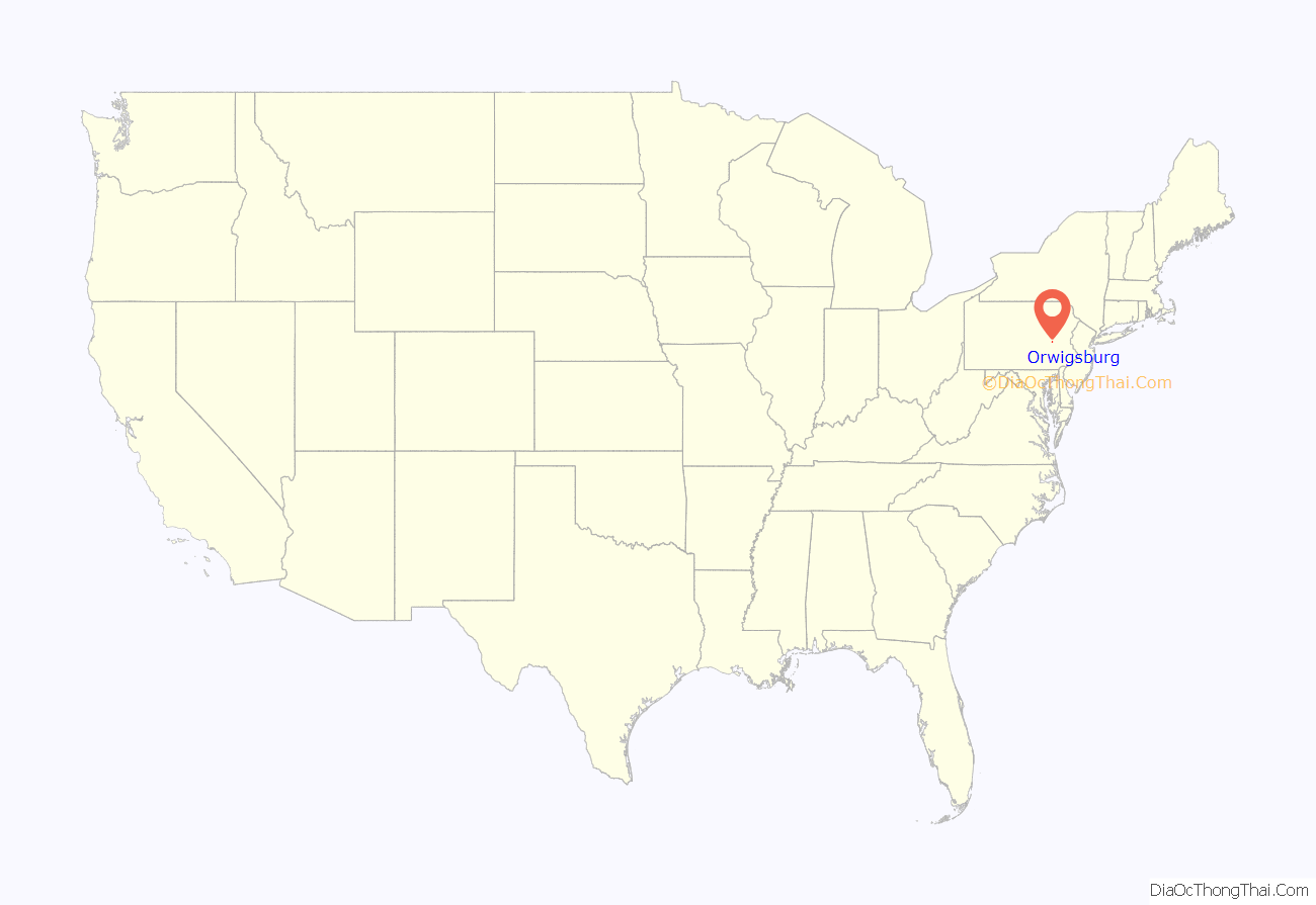
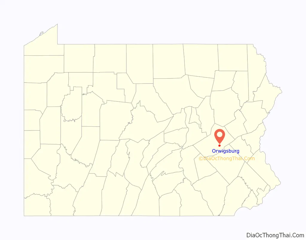
Orwigsburg location map. Where is Orwigsburg borough?
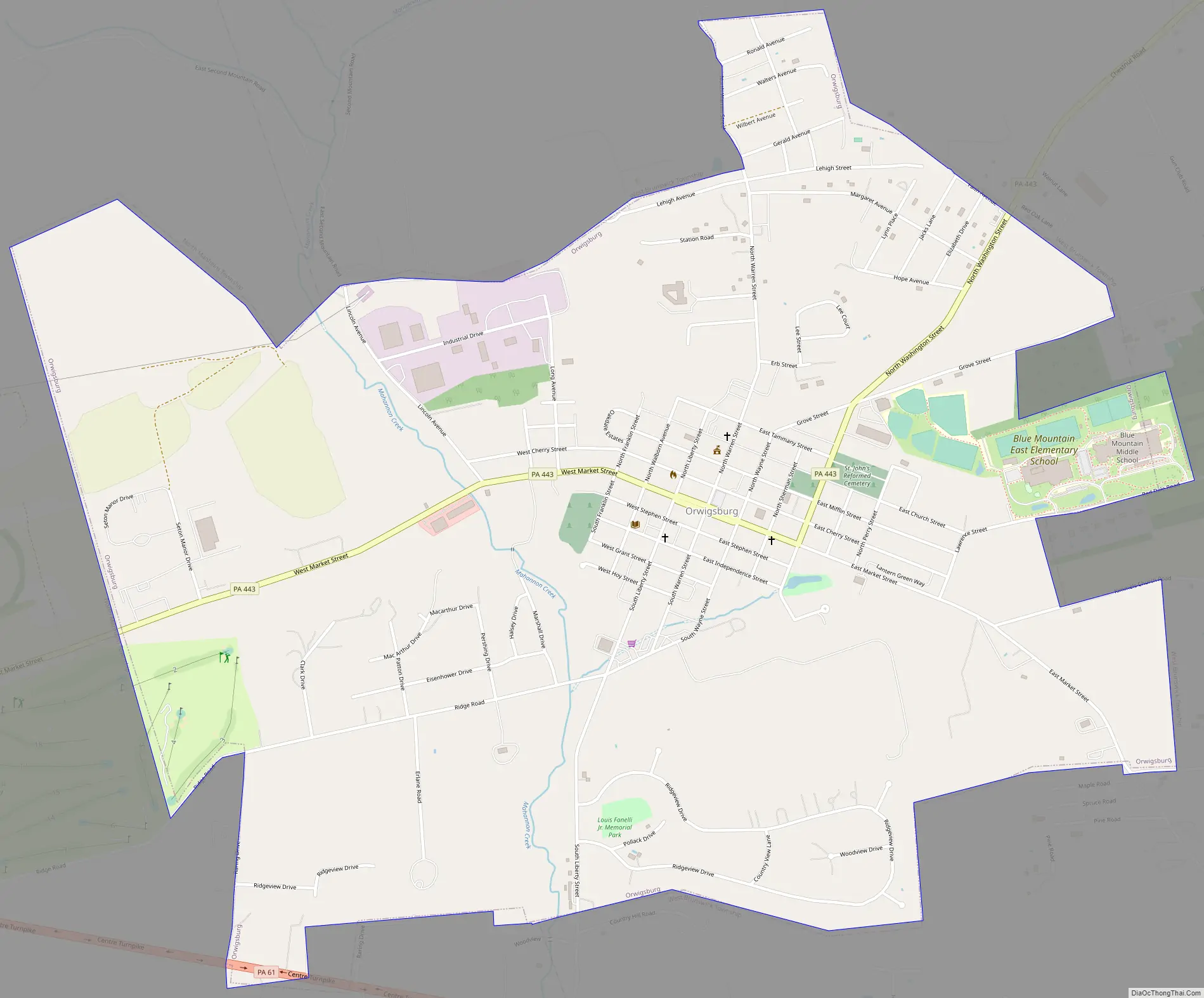
Orwigsburg Road Map
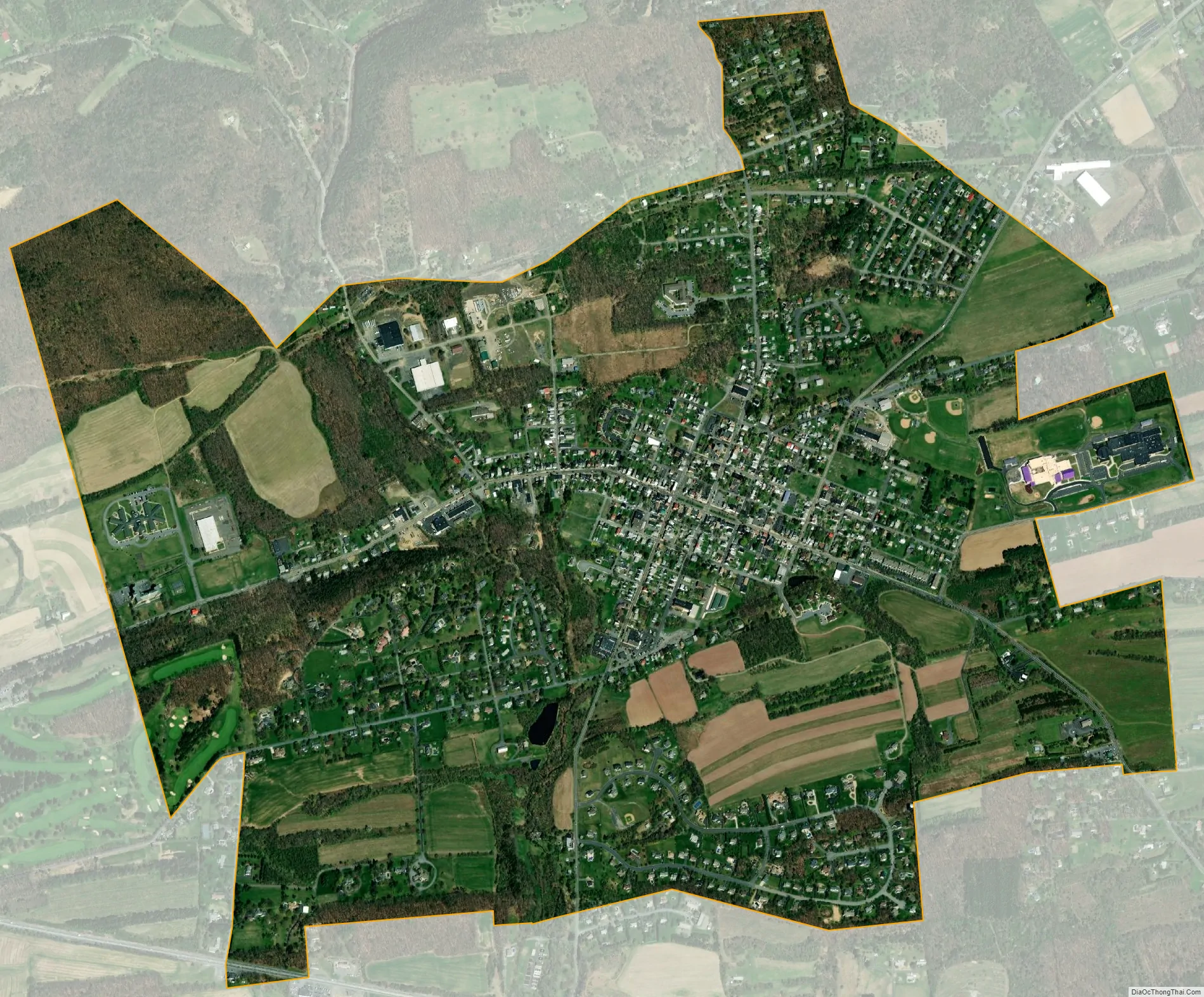
Orwigsburg city Satellite Map
Geography
Orwigsburg is located at 40°39′24″N 76°6′7″W / 40.65667°N 76.10194°W / 40.65667; -76.10194 (40.656567, -76.101882). According to the U.S. Census Bureau, the borough has a total area of 2.2 square miles (5.7 km), all of it land.
It has a hot-summer humid continental climate (Dfa) and average monthly temperatures range from 27.4° F in January to 72.3° F in July. [1] The hardiness zone is 6b.
See also
Map of Pennsylvania State and its subdivision:- Adams
- Allegheny
- Armstrong
- Beaver
- Bedford
- Berks
- Blair
- Bradford
- Bucks
- Butler
- Cambria
- Cameron
- Carbon
- Centre
- Chester
- Clarion
- Clearfield
- Clinton
- Columbia
- Crawford
- Cumberland
- Dauphin
- Delaware
- Elk
- Erie
- Fayette
- Forest
- Franklin
- Fulton
- Greene
- Huntingdon
- Indiana
- Jefferson
- Juniata
- Lackawanna
- Lancaster
- Lawrence
- Lebanon
- Lehigh
- Luzerne
- Lycoming
- Mc Kean
- Mercer
- Mifflin
- Monroe
- Montgomery
- Montour
- Northampton
- Northumberland
- Perry
- Philadelphia
- Pike
- Potter
- Schuylkill
- Snyder
- Somerset
- Sullivan
- Susquehanna
- Tioga
- Union
- Venango
- Warren
- Washington
- Wayne
- Westmoreland
- Wyoming
- York
- Alabama
- Alaska
- Arizona
- Arkansas
- California
- Colorado
- Connecticut
- Delaware
- District of Columbia
- Florida
- Georgia
- Hawaii
- Idaho
- Illinois
- Indiana
- Iowa
- Kansas
- Kentucky
- Louisiana
- Maine
- Maryland
- Massachusetts
- Michigan
- Minnesota
- Mississippi
- Missouri
- Montana
- Nebraska
- Nevada
- New Hampshire
- New Jersey
- New Mexico
- New York
- North Carolina
- North Dakota
- Ohio
- Oklahoma
- Oregon
- Pennsylvania
- Rhode Island
- South Carolina
- South Dakota
- Tennessee
- Texas
- Utah
- Vermont
- Virginia
- Washington
- West Virginia
- Wisconsin
- Wyoming


