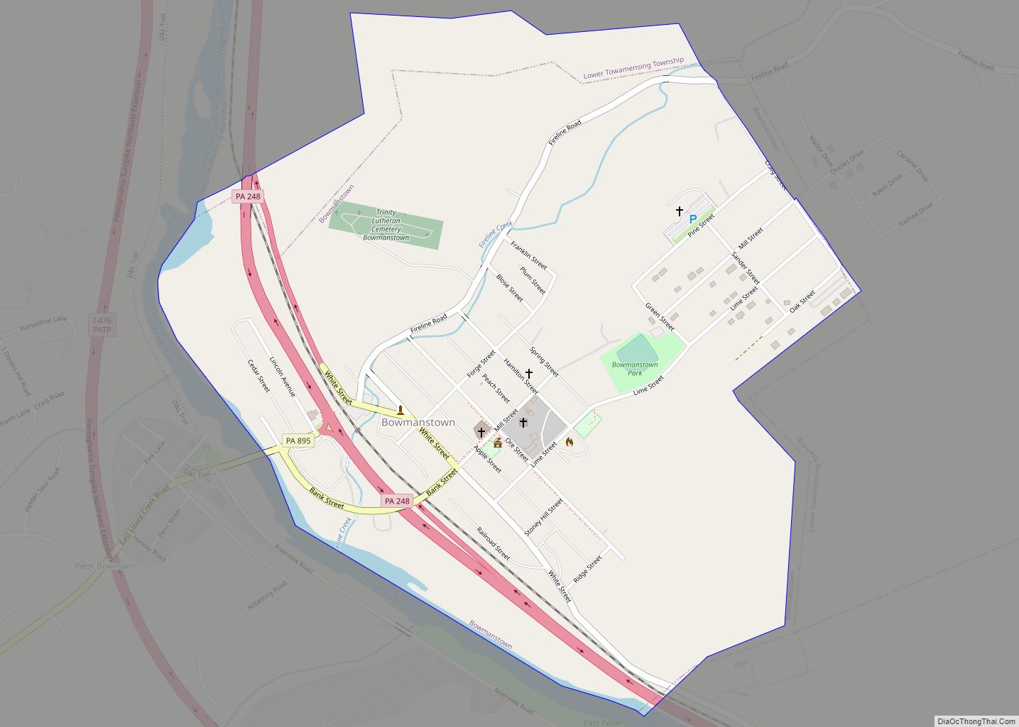
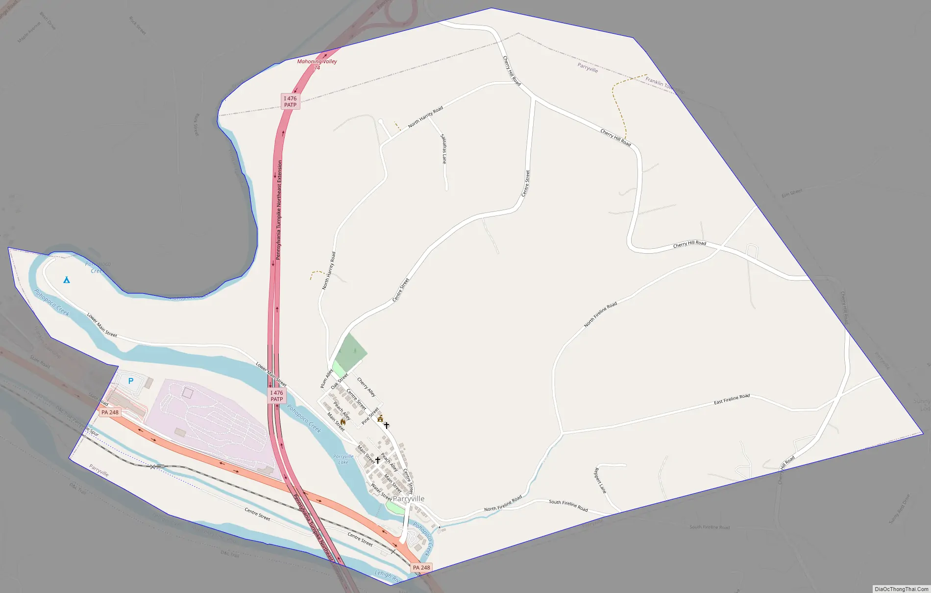
Parryville is a borough in Carbon County, Pennsylvania, United States. It is part of Northeastern Pennsylvania, and is located 3 miles (5 km) southeast of Lehighton and 1 mile (1.6 km) north of Bowmanstown, off Route 248 and 4 miles (6 km) northwest of Palmerton.
Parryville’s elevation is 450 feet (140 m) above sea level. The population was 416 at the time of the 2020 census.
| Name: | Parryville borough |
|---|---|
| LSAD Code: | 21 |
| LSAD Description: | borough (suffix) |
| State: | Pennsylvania |
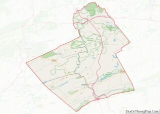
| County: | Carbon County |
| Elevation: | 450 ft (140 m) |
| Total Area: | 1.63 sq mi (4.22 km²) |
| Land Area: | 1.61 sq mi (4.17 km²) |
| Water Area: | 0.02 sq mi (0.04 km²) |
| Total Population: | 416 |
| Population Density: | 258.22/sq mi (99.70/km²) |
| ZIP code: | 18244 |
| FIPS code: | 4258304 |
| Website: | parryville.org |
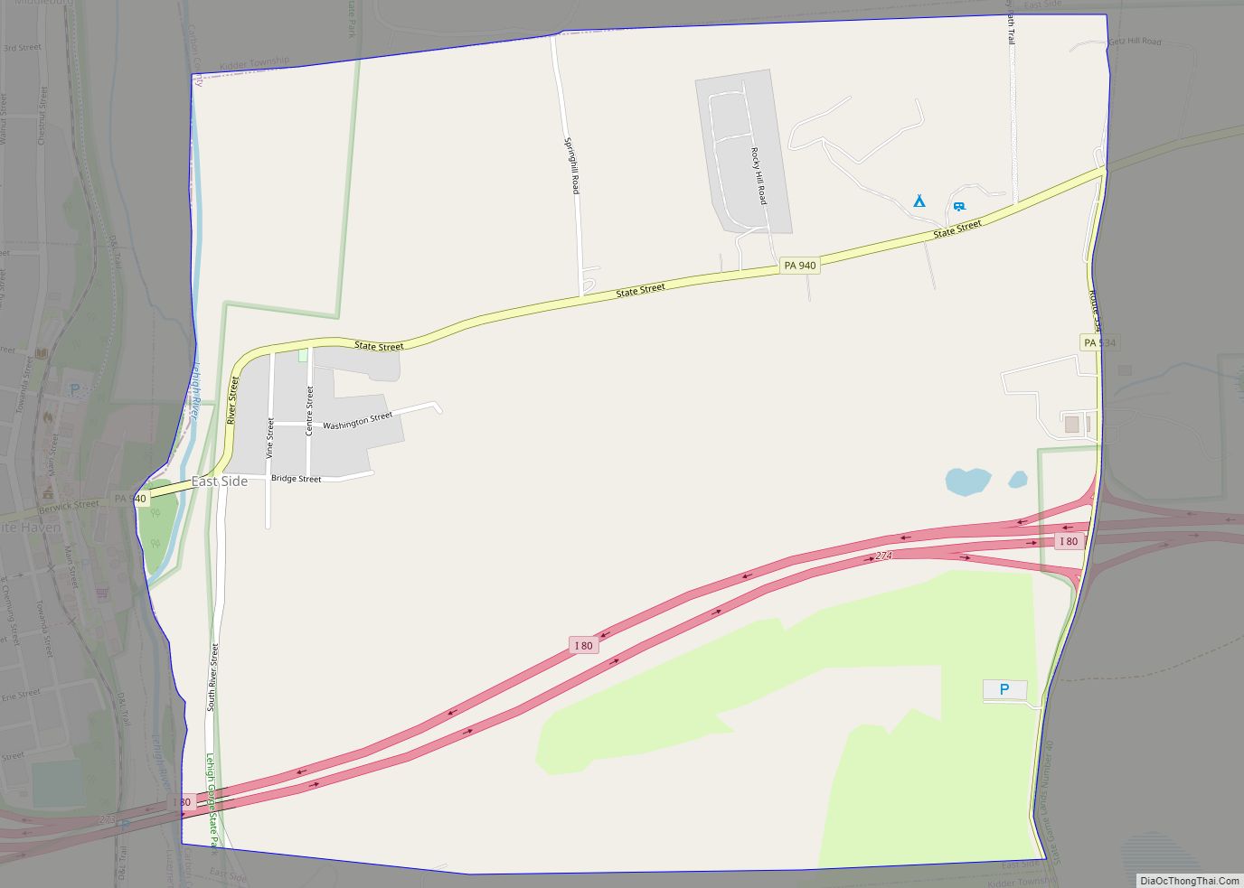
Online Interactive Map
Click on ![]() to view map in "full screen" mode.
to view map in "full screen" mode.
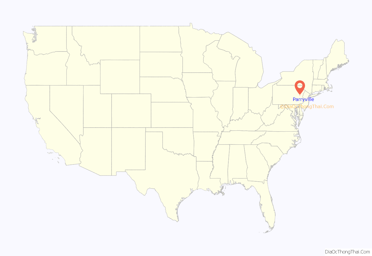
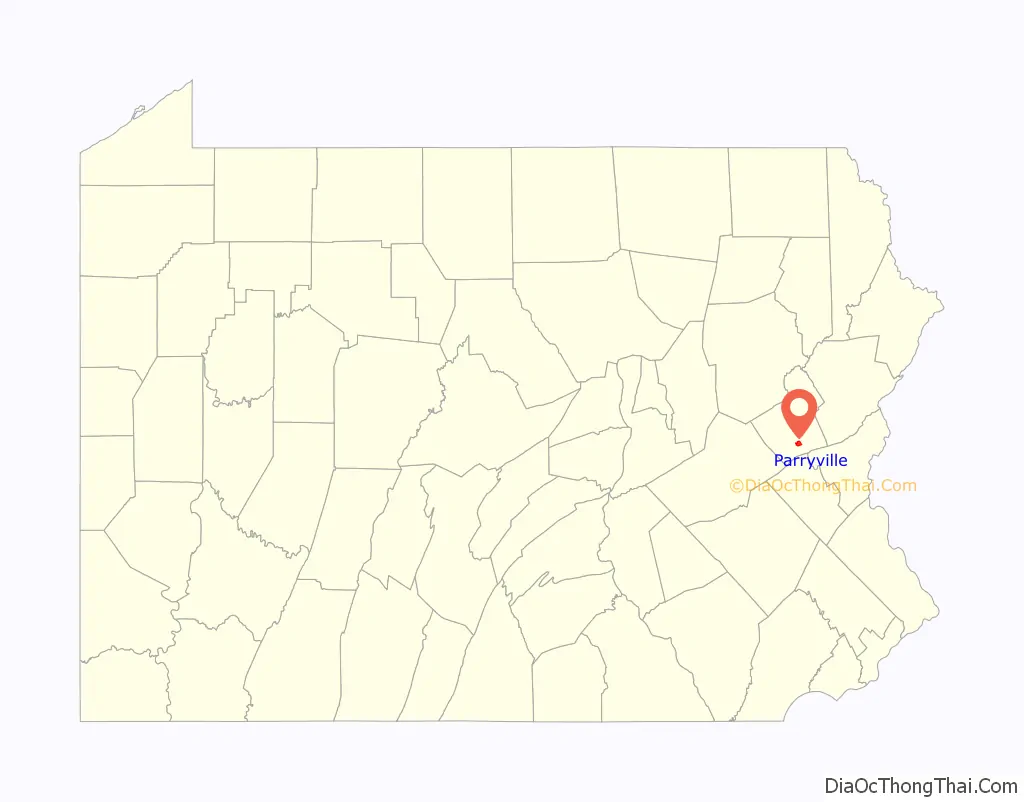
Parryville location map. Where is Parryville borough?
History
Located roughly six miles south of Mauch Chunk, the history of the borough of Parryville can be traced back to the late eighteenth century, when Peter Frantz arrived on this land in 1780, and became the first man to settle there. Leonard Beltz and Frederick Scheckler then arrived in 1781, and built a stone gristmill adjacent to the Pohopoco Creek. Beltz, a native of Franklin County, had married Elizabeth Boyer, a daughter of Frederick and Susan Boyer. They raised twelve children on the property. Mrs. Beltz lived to be 105 years old.
In 1815, Beltz and Scheckler sold the mill and its related property to Jacob and Peter Stein, who improved the property by building a new hotel there.
In 1836, the Pine Forest Lumber Company, which owned extensive tracts of rich timber land in the northern part of the county and in the southern portion of Luzerne County, established its headquarters in this growing community, and built new sawmills, a lathe machining facility and paling mills adjacent to the creek. Its president was Daniel Parry, for whom the town was named, first as Parrysville and then Parryville.
In 1836, the Beaver Meadow Railroad and Coal Company installed a line, which enabled travelers to cross the river from this place, making Parryville a terminus and shipping point. Among the companies doing business there during this time was the Lehigh Coal and Navigation Company, which took advantage of the creek’s access to the Lehigh River to move its coal-laden canal boats to other parts of the region. These operations were interrupted in early 1841 when a freshet on January 7 and 8 swept away the railroad track between Parryville and Penn Haven Junction, as well as boat wharves and related shipping structures. That railroad segment was never rebuilt.
New life was injected into the village when, sometime around 1855, Dennis Bauman, his brother Henry, and others, established an anthracite blast furnace there. This furnace was powered by water furnished by the Pohopoco Creek for two years, at which point company executives sold their plant to the Carbon Iron Company, which introduced steam as the company’s new power source.
Parryville became an independent school district in 1867 and was subsequently incorporated as a borough early in 1875, with Dennis Bauman serving as its first chief burgess. By 1880, the town had 657 inhabitants.
Parryville Road Map
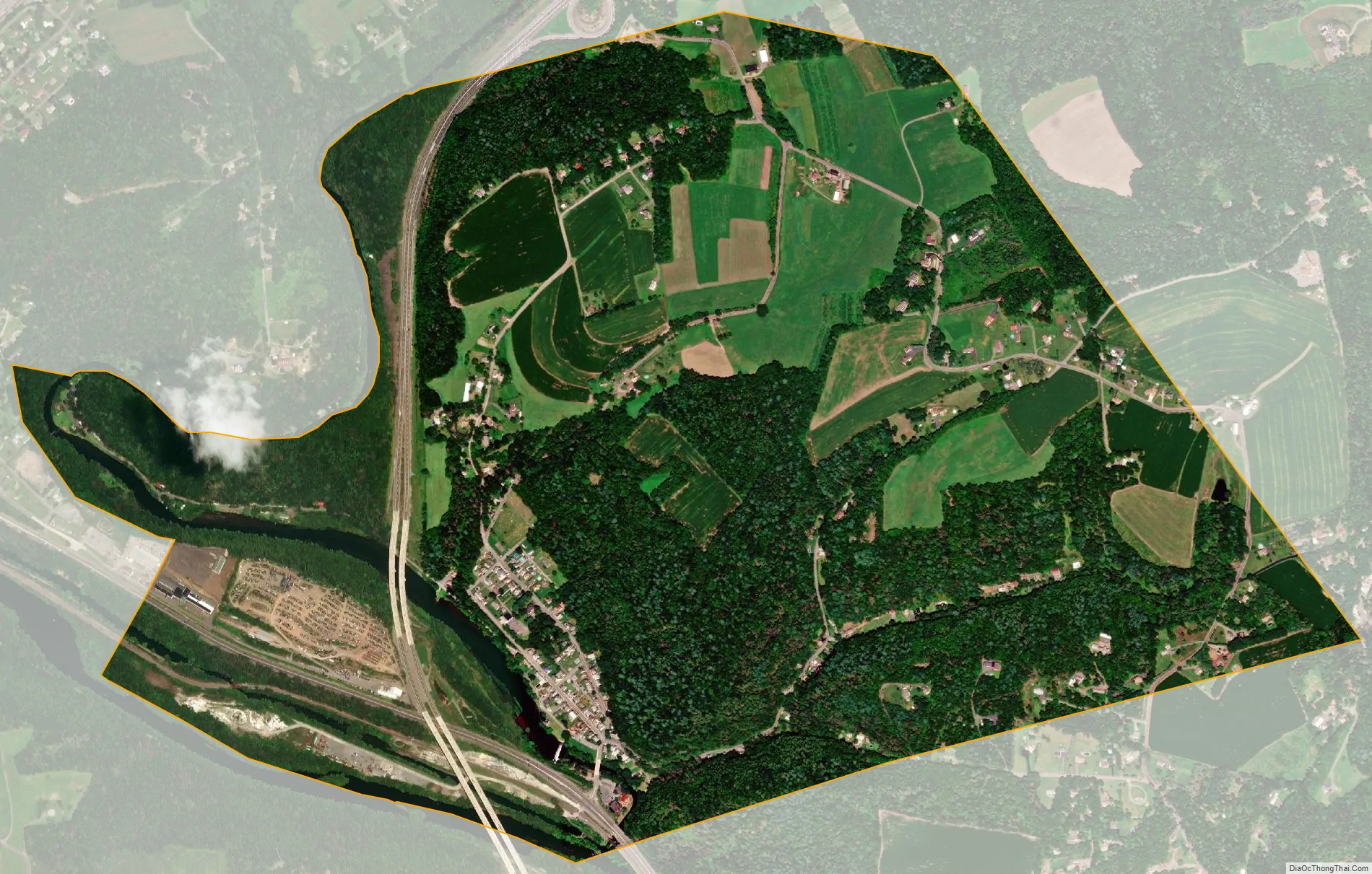
Parryville city Satellite Map
Geography
Parryville is located in southern Carbon County at 40°49′28″N 75°40′9″W / 40.82444°N 75.66917°W / 40.82444; -75.66917 (40.824403, -75.669246), along Pohopoco Creek just north of its confluence with the Lehigh River.
According to the U.S. Census Bureau, Parryville has a total area of 1.63 square miles (4.22 km), of which 1.61 square miles (4.17 km) is land and 0.02 square miles (0.04 km), or 1.03%, is water.
See also
Map of Pennsylvania State and its subdivision:- Adams
- Allegheny
- Armstrong
- Beaver
- Bedford
- Berks
- Blair
- Bradford
- Bucks
- Butler
- Cambria
- Cameron
- Carbon
- Centre
- Chester
- Clarion
- Clearfield
- Clinton
- Columbia
- Crawford
- Cumberland
- Dauphin
- Delaware
- Elk
- Erie
- Fayette
- Forest
- Franklin
- Fulton
- Greene
- Huntingdon
- Indiana
- Jefferson
- Juniata
- Lackawanna
- Lancaster
- Lawrence
- Lebanon
- Lehigh
- Luzerne
- Lycoming
- Mc Kean
- Mercer
- Mifflin
- Monroe
- Montgomery
- Montour
- Northampton
- Northumberland
- Perry
- Philadelphia
- Pike
- Potter
- Schuylkill
- Snyder
- Somerset
- Sullivan
- Susquehanna
- Tioga
- Union
- Venango
- Warren
- Washington
- Wayne
- Westmoreland
- Wyoming
- York
- Alabama
- Alaska
- Arizona
- Arkansas
- California
- Colorado
- Connecticut
- Delaware
- District of Columbia
- Florida
- Georgia
- Hawaii
- Idaho
- Illinois
- Indiana
- Iowa
- Kansas
- Kentucky
- Louisiana
- Maine
- Maryland
- Massachusetts
- Michigan
- Minnesota
- Mississippi
- Missouri
- Montana
- Nebraska
- Nevada
- New Hampshire
- New Jersey
- New Mexico
- New York
- North Carolina
- North Dakota
- Ohio
- Oklahoma
- Oregon
- Pennsylvania
- Rhode Island
- South Carolina
- South Dakota
- Tennessee
- Texas
- Utah
- Vermont
- Virginia
- Washington
- West Virginia
- Wisconsin
- Wyoming