Ronks is a small unincorporated farming community and census-designated place (CDP) in East Lampeter Township, Lancaster County, Pennsylvania, United States, just west of Paradise. As of the 2010 census the population was 362.
The community is the home of Ronks Concrete Company and has a large Amish and Mennonite population. The Ronks ZIP code of 17572 covers a much larger area than the CDP, extending south into Strasburg Township and east into Leacock Township. Within this larger area are several Amish-themed tourist attractions, shops, restaurants, and lodging.
| Name: | Ronks CDP |
|---|---|
| LSAD Code: | 57 |
| LSAD Description: | CDP (suffix) |
| State: | Pennsylvania |
| County: | Lancaster County |
| Elevation: | 380 ft (120 m) |
| Total Area: | 0.68 sq mi (1.75 km²) |
| Land Area: | 0.67 sq mi (1.74 km²) |
| Water Area: | 0.0 sq mi (0.0 km²) |
| Total Population: | 362 |
| Population Density: | 537/sq mi (207.5/km²) |
| ZIP code: | 17572 |
| Area code: | 717 |
| FIPS code: | 4265984 |
| GNISfeature ID: | 1185421 |
Online Interactive Map
Click on ![]() to view map in "full screen" mode.
to view map in "full screen" mode.
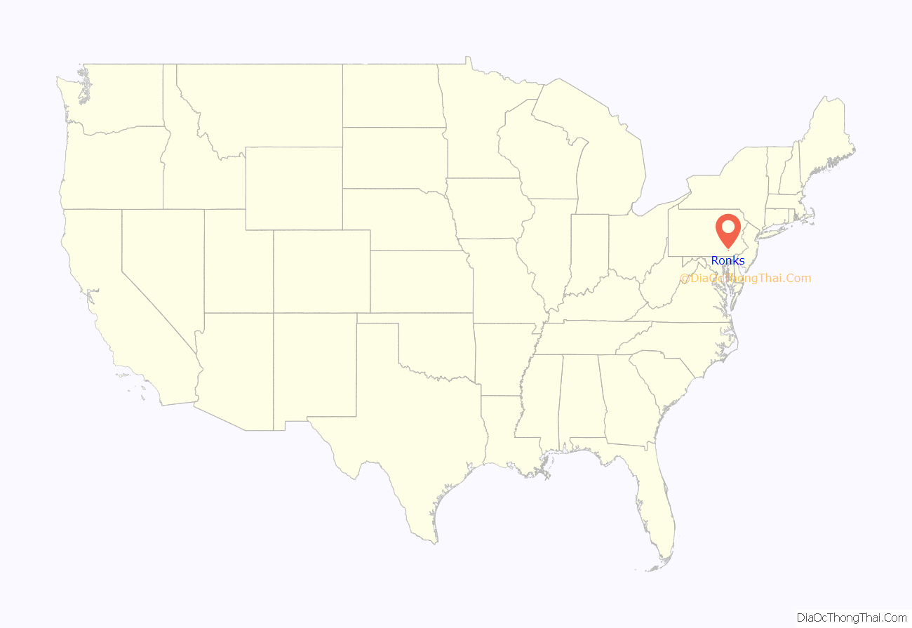
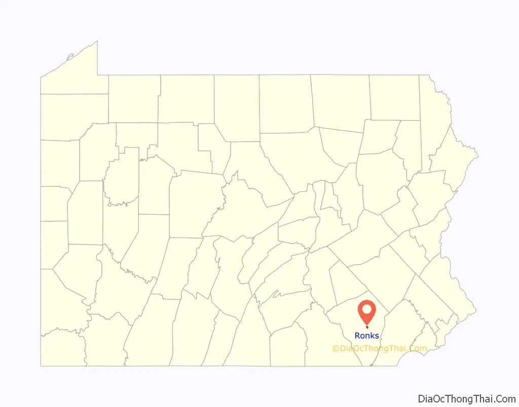
Ronks location map. Where is Ronks CDP?
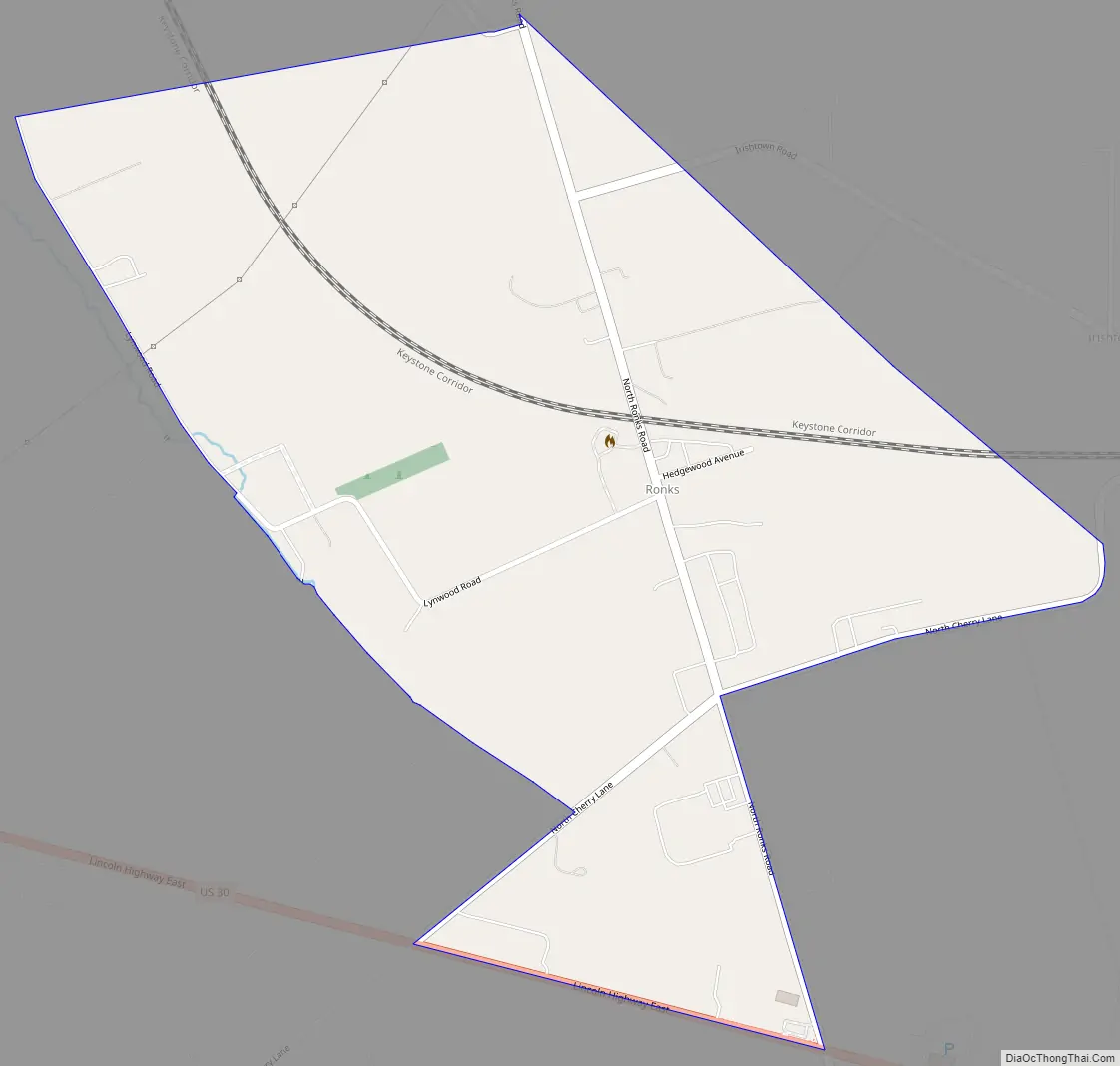
Ronks Road Map
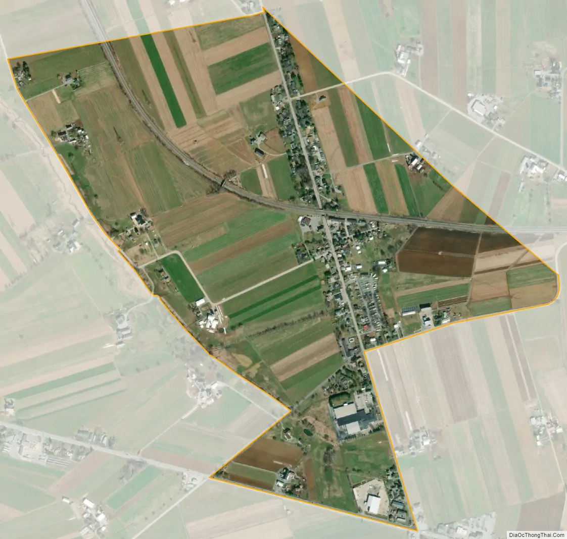
Ronks city Satellite Map
Geography
Ronks is in east-central Lancaster County, in the eastern part of East Lampeter Township. It is bordered to the north by Bird-in-Hand and to the southeast by Soudersburg. U.S. Route 30, the Lincoln Highway, forms the southern edge of the community, with the center of Ronks 0.7 miles (1.1 km) to the north along Ronks Road. Lancaster, the county seat, is 8 miles (13 km) to the west.
According to the U.S. Census Bureau, the Ronks CDP has a total area of 0.66 square miles (1.7 km), of which 0.1 acres (424 m), or 0.02%, are water. Ronks drains west toward Mill Creek and is part of the Conestoga River watershed.
See also
Map of Pennsylvania State and its subdivision:- Adams
- Allegheny
- Armstrong
- Beaver
- Bedford
- Berks
- Blair
- Bradford
- Bucks
- Butler
- Cambria
- Cameron
- Carbon
- Centre
- Chester
- Clarion
- Clearfield
- Clinton
- Columbia
- Crawford
- Cumberland
- Dauphin
- Delaware
- Elk
- Erie
- Fayette
- Forest
- Franklin
- Fulton
- Greene
- Huntingdon
- Indiana
- Jefferson
- Juniata
- Lackawanna
- Lancaster
- Lawrence
- Lebanon
- Lehigh
- Luzerne
- Lycoming
- Mc Kean
- Mercer
- Mifflin
- Monroe
- Montgomery
- Montour
- Northampton
- Northumberland
- Perry
- Philadelphia
- Pike
- Potter
- Schuylkill
- Snyder
- Somerset
- Sullivan
- Susquehanna
- Tioga
- Union
- Venango
- Warren
- Washington
- Wayne
- Westmoreland
- Wyoming
- York
- Alabama
- Alaska
- Arizona
- Arkansas
- California
- Colorado
- Connecticut
- Delaware
- District of Columbia
- Florida
- Georgia
- Hawaii
- Idaho
- Illinois
- Indiana
- Iowa
- Kansas
- Kentucky
- Louisiana
- Maine
- Maryland
- Massachusetts
- Michigan
- Minnesota
- Mississippi
- Missouri
- Montana
- Nebraska
- Nevada
- New Hampshire
- New Jersey
- New Mexico
- New York
- North Carolina
- North Dakota
- Ohio
- Oklahoma
- Oregon
- Pennsylvania
- Rhode Island
- South Carolina
- South Dakota
- Tennessee
- Texas
- Utah
- Vermont
- Virginia
- Washington
- West Virginia
- Wisconsin
- Wyoming


