Schnecksville is an unincorporated community and census-designated place (CDP) in North Whitehall Township in Lehigh County, Pennsylvania. The population of Schnecksville was 2,935 at the 2010 census.
Schnecksville is a suburb of Allentown in the Lehigh Valley metropolitan area of the United States, which had a population of 861,899 and was the 68th-most populous metropolitan area in the U.S. as of the 2020 census. Its U.S. postal code (ZIP code) is 18078.
| Name: | Schnecksville CDP |
|---|---|
| LSAD Code: | 57 |
| LSAD Description: | CDP (suffix) |
| State: | Pennsylvania |
| County: | Lehigh County |
| Elevation: | 204 m (668 ft) |
| Land Area: | 6.97 km² (2.69 sq mi) |
| Water Area: | 0.02 km² (0.008 sq mi) |
| Population Density: | 421.3/km² (1,091/sq mi) |
| ZIP code: | 18078 |
| Area code: | 610 and 484 |
| FIPS code: | 4268192 |
| GNISfeature ID: | 1200116 |
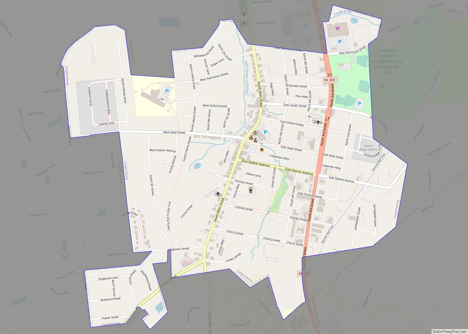
Online Interactive Map
Click on ![]() to view map in "full screen" mode.
to view map in "full screen" mode.
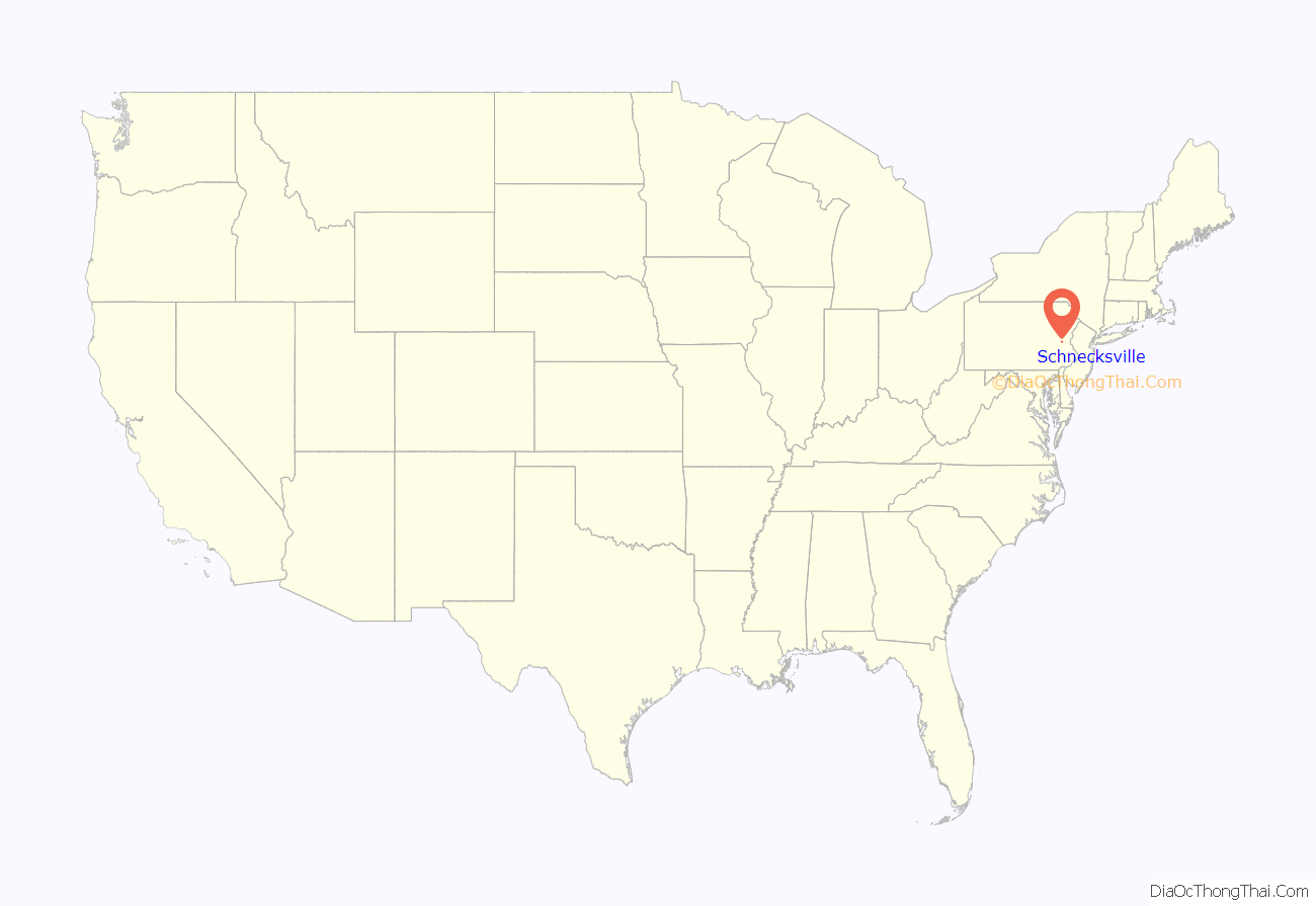
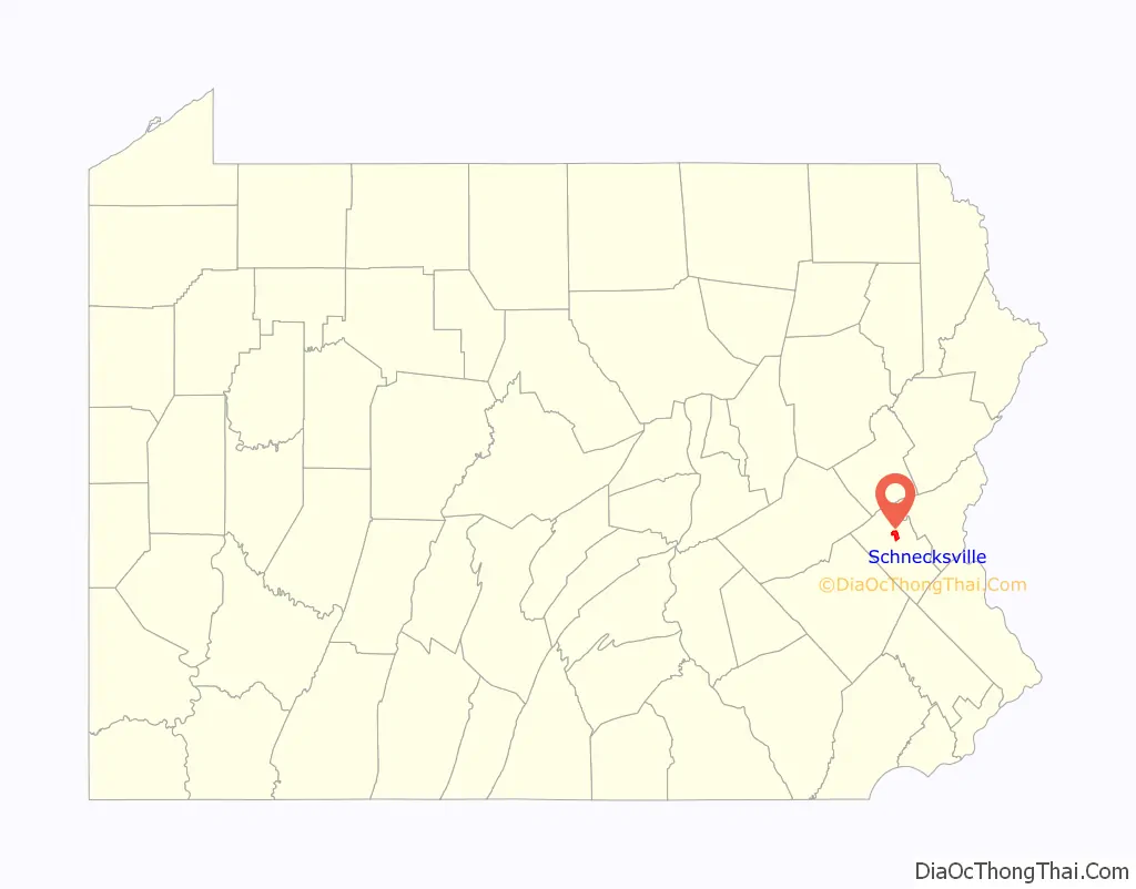
Schnecksville location map. Where is Schnecksville CDP?
History
Schnecksville was first settled in 1756 by Adam Schneck. His log home is still standing but has been moved approximately one-half mile from its original location. In 1840, Schnecksville was laid out by Daniel Schneck. Descendants of the Schnecks still live in the town today. He and his son Moses Schneck owned a hotel and other buildings. A George Rau opened a store. There was a post office here in 1846, with Peter Gross as postmaster. In 1880, the population was 160 persons. There were two hotels, a store, twenty two dwellings, a school and a church.
Schnecksville Road Map
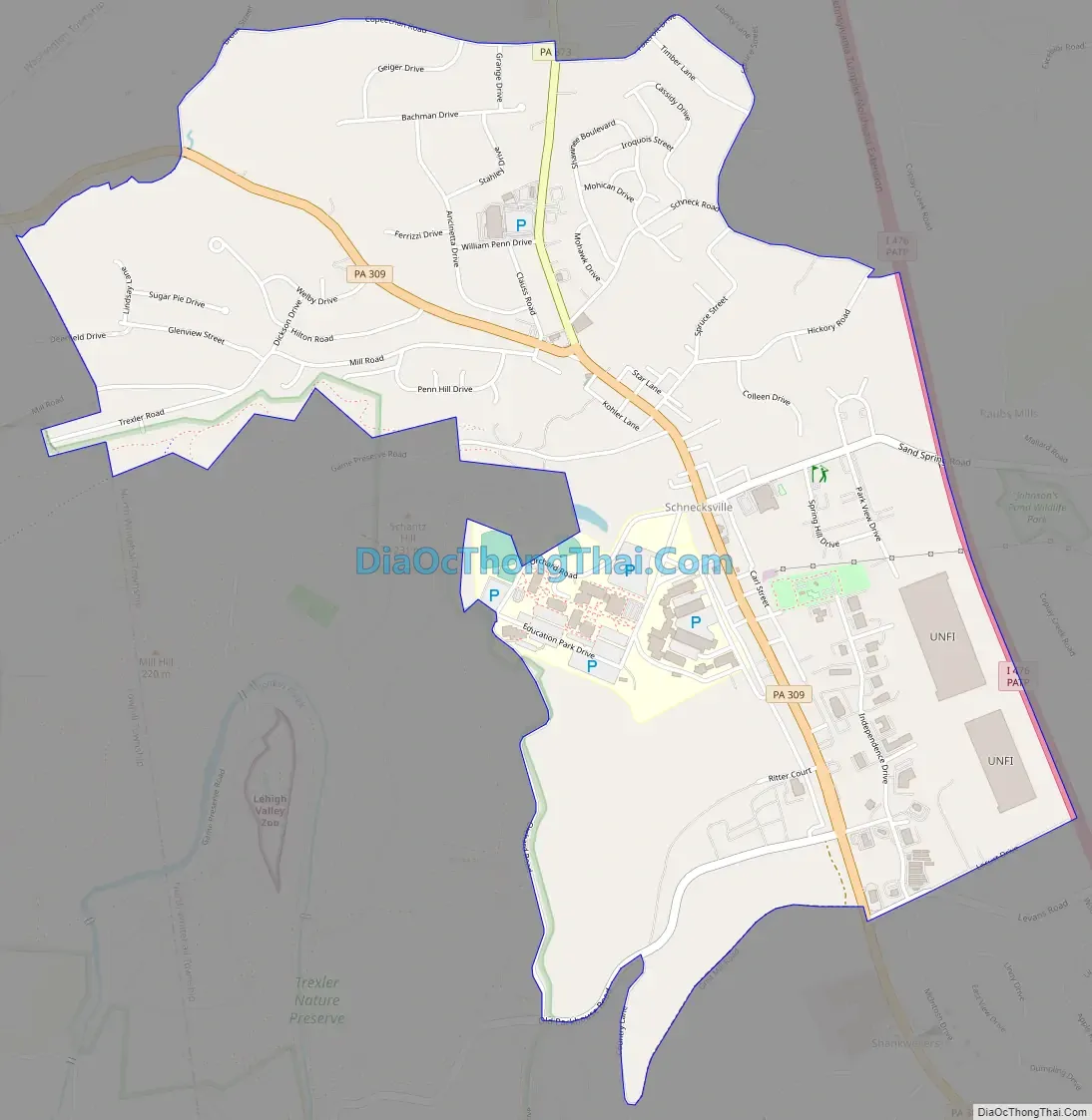
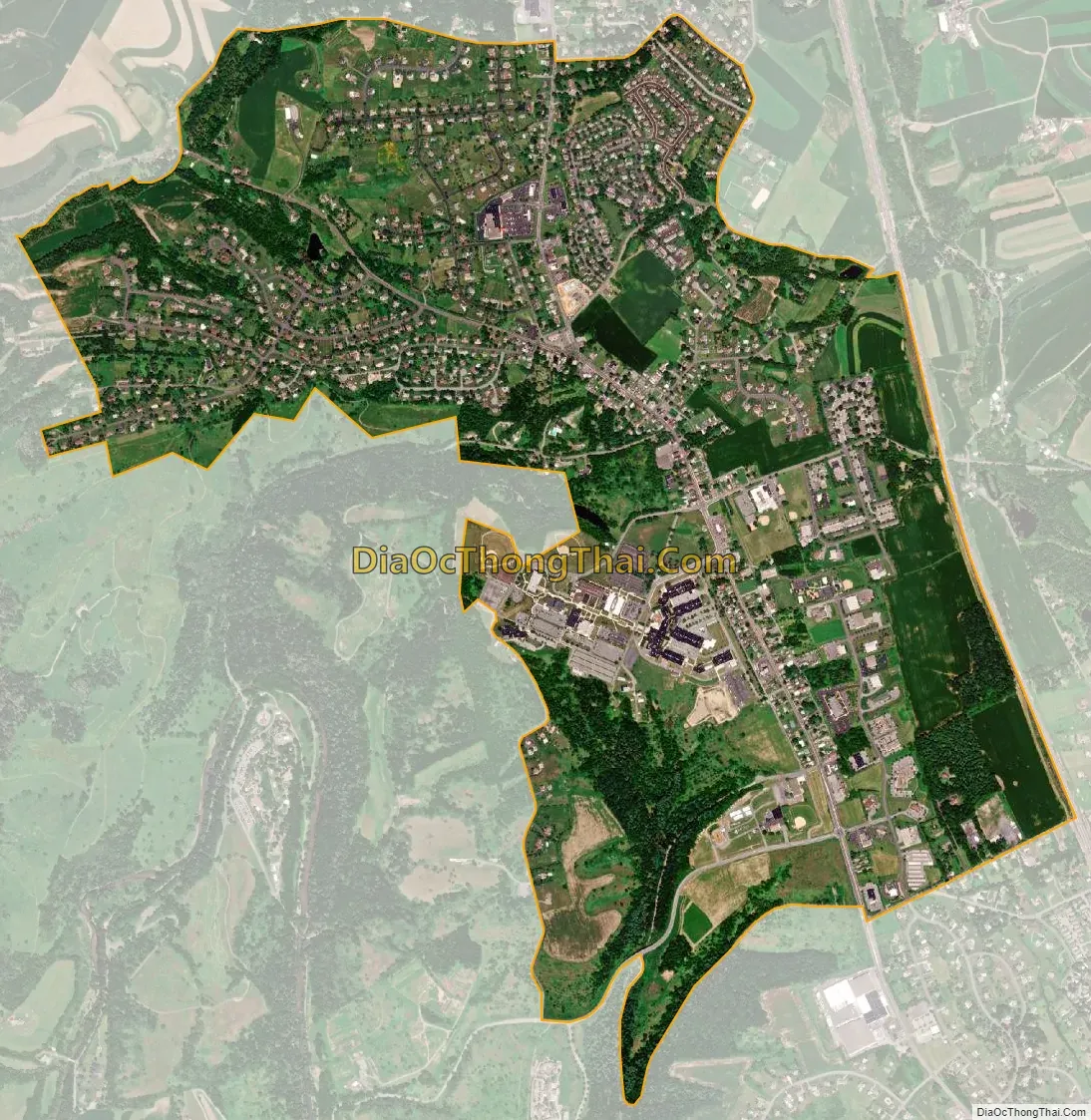
Schnecksville city Satellite Map
Geography
Schnecksville is located in northern Lehigh County at 40°40′33″N 75°36′59″W / 40.67583°N 75.61639°W / 40.67583; -75.61639 (40.675741, -75.616260), in the western part of North Whitehall Township.
Pennsylvania Route 309 runs through the middle of the community, leading south through Orefield 7 miles (11 km) to Interstate 78 on the west side of Allentown. To the northwest PA 309 leads through Pleasant Corners 24 miles (39 km) to Tamaqua. Pennsylvania Route 873 begins at PA 309 in Schnecksville and leads north through Neffs 6 miles (10 km) to Slatington. The Trexler Nature Preserve, which is also home to the Trexler Environmental Center and the Lehigh Valley Zoo, is on the southwest side of Schnecksville.
According to the U.S. Census Bureau, Schnecksville has a total area of 2.7 square miles (7.0 km), of which 0.01 square miles (0.02 km), or 0.28%, are water. Schnecksville sits on a ridge at an elevation of about 660 feet (200 m) above sea level. To the west, water flows to Jordan Creek, while to the east water flows to Coplay Creek. Both creeks are southeast-flowing tributaries of the Lehigh River and part of the Delaware River watershed.
See also
Map of Pennsylvania State and its subdivision:- Adams
- Allegheny
- Armstrong
- Beaver
- Bedford
- Berks
- Blair
- Bradford
- Bucks
- Butler
- Cambria
- Cameron
- Carbon
- Centre
- Chester
- Clarion
- Clearfield
- Clinton
- Columbia
- Crawford
- Cumberland
- Dauphin
- Delaware
- Elk
- Erie
- Fayette
- Forest
- Franklin
- Fulton
- Greene
- Huntingdon
- Indiana
- Jefferson
- Juniata
- Lackawanna
- Lancaster
- Lawrence
- Lebanon
- Lehigh
- Luzerne
- Lycoming
- Mc Kean
- Mercer
- Mifflin
- Monroe
- Montgomery
- Montour
- Northampton
- Northumberland
- Perry
- Philadelphia
- Pike
- Potter
- Schuylkill
- Snyder
- Somerset
- Sullivan
- Susquehanna
- Tioga
- Union
- Venango
- Warren
- Washington
- Wayne
- Westmoreland
- Wyoming
- York
- Alabama
- Alaska
- Arizona
- Arkansas
- California
- Colorado
- Connecticut
- Delaware
- District of Columbia
- Florida
- Georgia
- Hawaii
- Idaho
- Illinois
- Indiana
- Iowa
- Kansas
- Kentucky
- Louisiana
- Maine
- Maryland
- Massachusetts
- Michigan
- Minnesota
- Mississippi
- Missouri
- Montana
- Nebraska
- Nevada
- New Hampshire
- New Jersey
- New Mexico
- New York
- North Carolina
- North Dakota
- Ohio
- Oklahoma
- Oregon
- Pennsylvania
- Rhode Island
- South Carolina
- South Dakota
- Tennessee
- Texas
- Utah
- Vermont
- Virginia
- Washington
- West Virginia
- Wisconsin
- Wyoming