Slatington is a borough in Lehigh County, Pennsylvania. As of the 2010 census, it had a population of 4,232. Slatington is located northwest of Allentown and Bethlehem. Slatington is part of the Lehigh Valley metropolitan area, which had a population of 861,899 and was the 68th-most populous metropolitan area in the U.S. as of the 2020 census.
| Name: | Slatington borough |
|---|---|
| LSAD Code: | 21 |
| LSAD Description: | borough (suffix) |
| State: | Pennsylvania |
| County: | Lehigh County |
| Elevation: | 490 ft (150 m) |
| Land Area: | 1.32 sq mi (3.42 km²) |
| Water Area: | 0.06 sq mi (0.15 km²) |
| Population Density: | 3,260.41/sq mi (1,258.92/km²) |
| ZIP code: | 18080 |
| Area code: | 610 |
| FIPS code: | 4271144 |
| Website: | slatington.org |
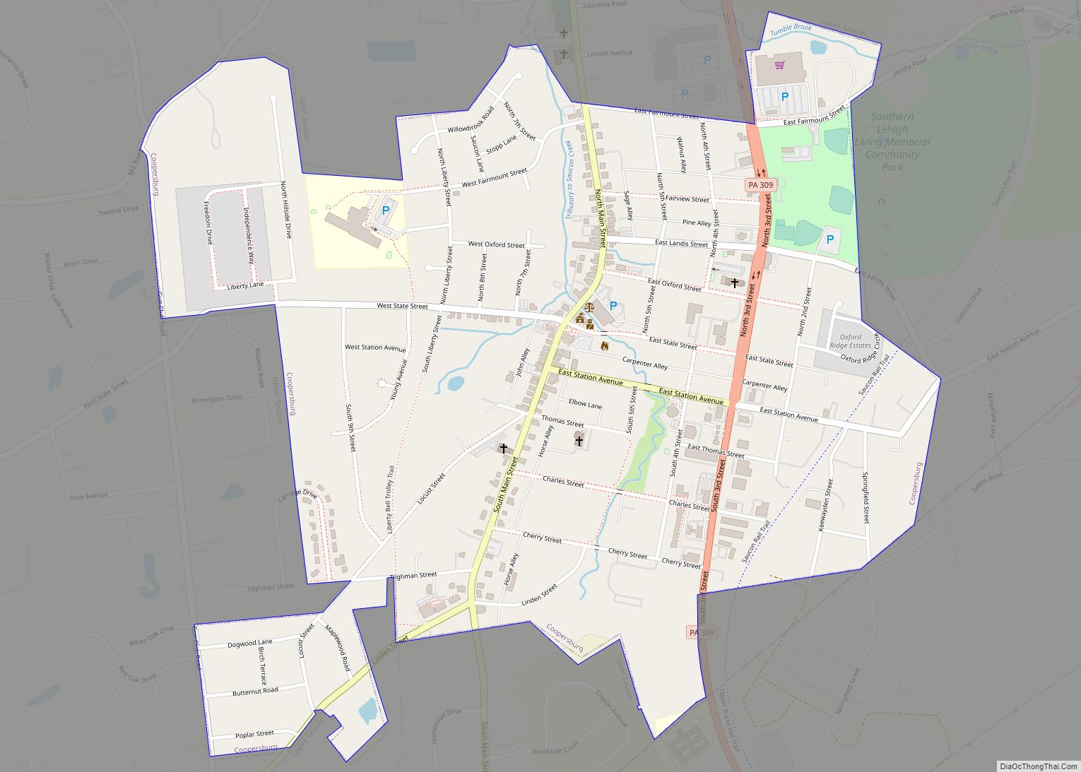
Online Interactive Map
Click on ![]() to view map in "full screen" mode.
to view map in "full screen" mode.
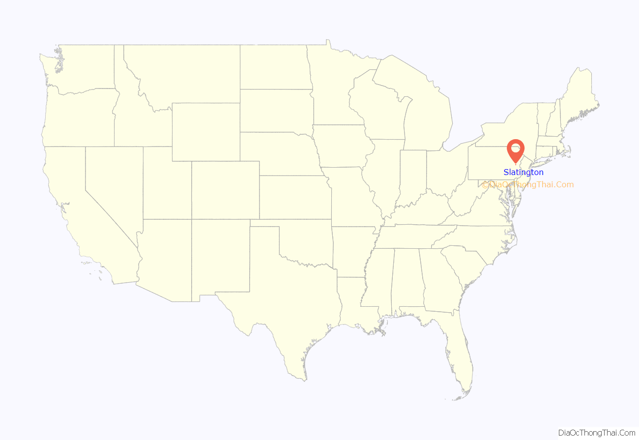
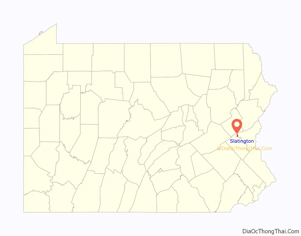
Slatington location map. Where is Slatington borough?
History
In 1737, Nicholas Kern was the first white settler in what would become Slatington. The Lenape Native Americans were already living along “Warriors Path,” which would become Route 873. Kern established a sawmill shortly after arriving.
In 1756, Benjamin Franklin reported to Governor Morris that he had procured boards and timber from Kern’s sawmill. In the 19th century two Welshmen, who recognized its properties and importance from being used in Europe, discovered slate. A quarry was set up in 1845, and, in 1847, a factory was erected. In 1864, Slatington was incorporated into a Borough of Pennsylvania; its first mayor was Robert McDowell. Historically, structural iron, knit goods, and silk were manufactured in Slatington, and there were abundant slate quarries in the area.
In 1900, 3,773 people lived in Slatington, and, by 1910, that number had grown to 4,454. Between 1910 and the 2010 census, the population reduced slightly, to 4,232. The U.S. postal code (ZIP code) for Slatington, PA is 18080. Slatington was settled in 1738 and incorporated in 1864.
In 2010, the Fireman’s Drinking Fountain and Slatington Historic District were named to the National Register of Historic Places.
Slatington Road Map
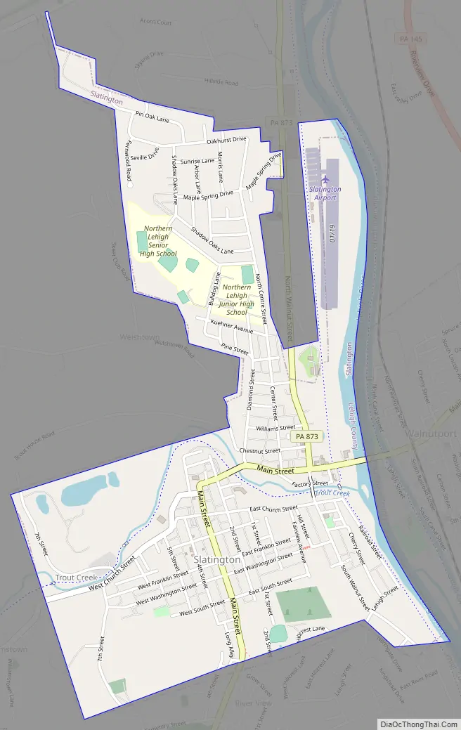
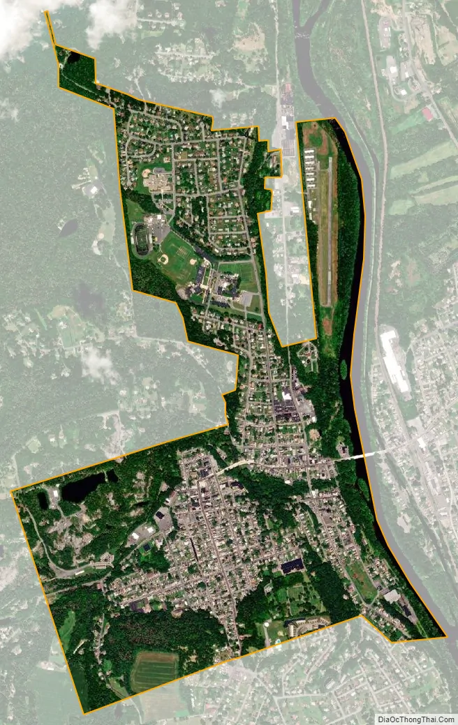
Slatington city Satellite Map
Geography
Slatington is located in northern Lehigh County at 40°45′9″N 75°36′33″W / 40.75250°N 75.60917°W / 40.75250; -75.60917 (40.752561, −75.609229), on the west side of the Lehigh River. It is bordered to the east, across the river, by the borough of Walnutport in Northampton County. It is 14 miles (23 km) northwest of Allentown, 18 miles (29 km) northwest of Bethlehem, 62 miles (100 km) south of Scranton, and 70 miles (110 km) north of Philadelphia.
According to the U.S. Census Bureau, the borough has a total area of 1.4 square miles (3.6 km), of which 1.3 square miles (3.4 km) are land and 0.1 square miles (0.26 km), or 4.35%, are water. Slatington’s elevation is 380 feet (120 m) above sea level at the center of town. The elevation varies from 345 feet (105 m) at the Lehigh River on the east side of town to 742 feet (226 m) atop a hill south of South Street, west of Pennsylvania Route 873.
Slatington is home to Victory Park, the location of the community pool, a disc golf course, and the Angelo J. Scarselletti Amphitheater.
See also
Map of Pennsylvania State and its subdivision:- Adams
- Allegheny
- Armstrong
- Beaver
- Bedford
- Berks
- Blair
- Bradford
- Bucks
- Butler
- Cambria
- Cameron
- Carbon
- Centre
- Chester
- Clarion
- Clearfield
- Clinton
- Columbia
- Crawford
- Cumberland
- Dauphin
- Delaware
- Elk
- Erie
- Fayette
- Forest
- Franklin
- Fulton
- Greene
- Huntingdon
- Indiana
- Jefferson
- Juniata
- Lackawanna
- Lancaster
- Lawrence
- Lebanon
- Lehigh
- Luzerne
- Lycoming
- Mc Kean
- Mercer
- Mifflin
- Monroe
- Montgomery
- Montour
- Northampton
- Northumberland
- Perry
- Philadelphia
- Pike
- Potter
- Schuylkill
- Snyder
- Somerset
- Sullivan
- Susquehanna
- Tioga
- Union
- Venango
- Warren
- Washington
- Wayne
- Westmoreland
- Wyoming
- York
- Alabama
- Alaska
- Arizona
- Arkansas
- California
- Colorado
- Connecticut
- Delaware
- District of Columbia
- Florida
- Georgia
- Hawaii
- Idaho
- Illinois
- Indiana
- Iowa
- Kansas
- Kentucky
- Louisiana
- Maine
- Maryland
- Massachusetts
- Michigan
- Minnesota
- Mississippi
- Missouri
- Montana
- Nebraska
- Nevada
- New Hampshire
- New Jersey
- New Mexico
- New York
- North Carolina
- North Dakota
- Ohio
- Oklahoma
- Oregon
- Pennsylvania
- Rhode Island
- South Carolina
- South Dakota
- Tennessee
- Texas
- Utah
- Vermont
- Virginia
- Washington
- West Virginia
- Wisconsin
- Wyoming