Summit Hill is a borough in Carbon County, Pennsylvania, United States. It is part of Northeastern Pennsylvania. The population was 3,034 at the 2010 census.
Summit Hill was the western terminus of the United States’ second operational railway, the Mauch Chunk Switchback Railway. It was the site of some of the earliest coal mines developed in North America, where the Lehigh Coal & Navigation Company began mining in 1792, establishing the town initially as little more than a mining camp with stables and paddocks.
| Name: | Summit Hill borough |
|---|---|
| LSAD Code: | 21 |
| LSAD Description: | borough (suffix) |
| State: | Pennsylvania |
| County: | Carbon County |
| Elevation: | 1,510 ft (460 m) |
| Total Area: | 9.11 sq mi (23.58 km²) |
| Land Area: | 8.69 sq mi (22.51 km²) |
| Water Area: | 0.41 sq mi (1.07 km²) |
| Total Population: | 3,034 |
| Population Density: | 339.89/sq mi (131.23/km²) |
| ZIP code: | 18250 |
| Area code: | 570 and 272 |
| FIPS code: | 4275248 |
| Website: | www.summithillborough.com |
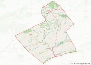
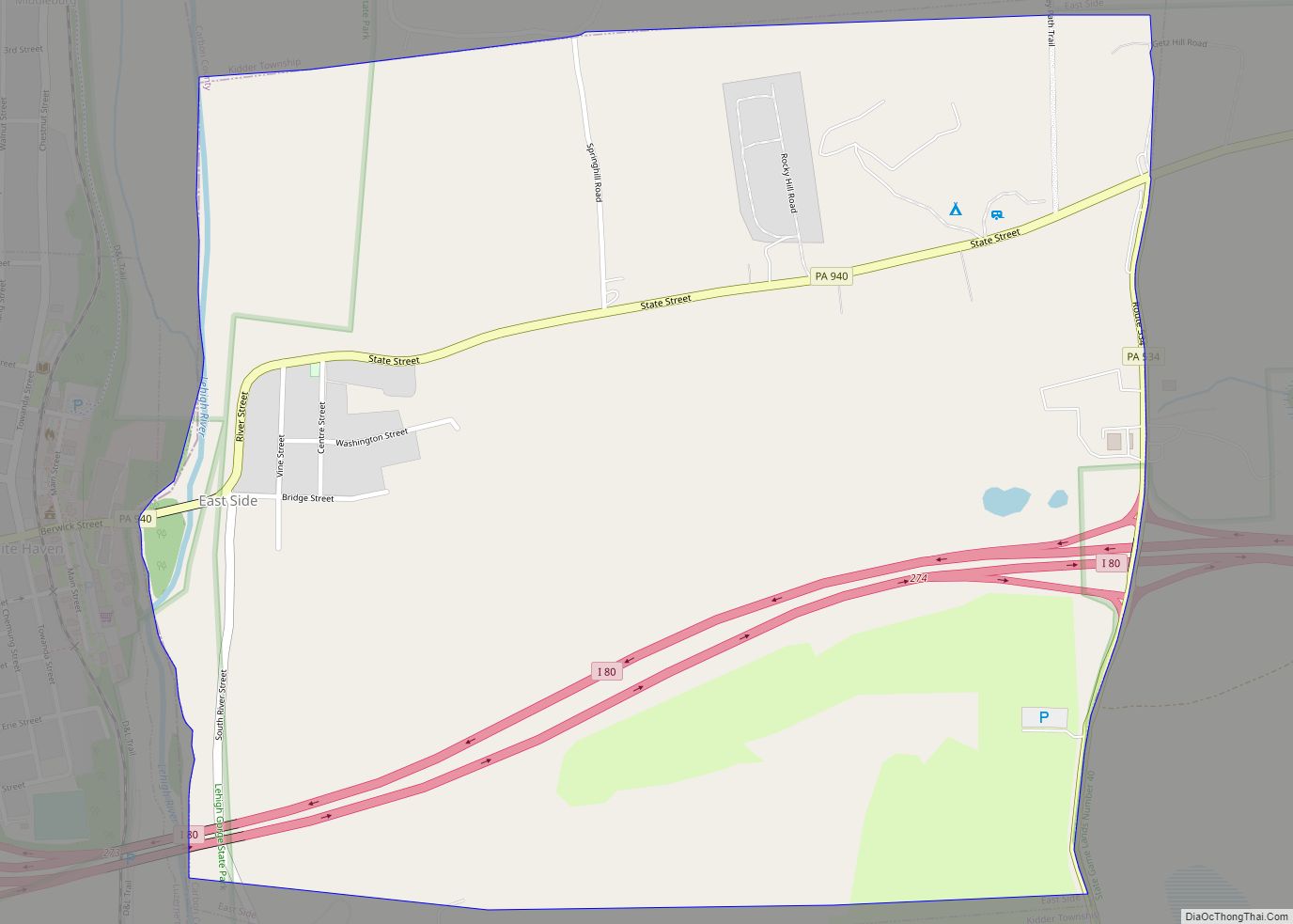
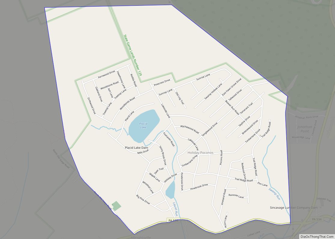
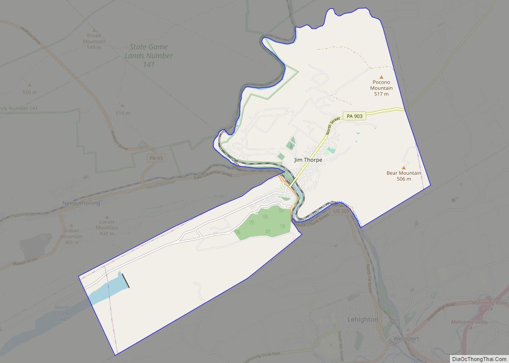
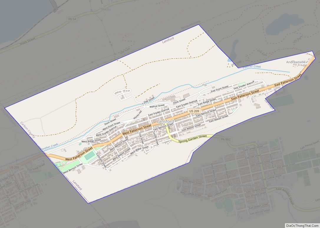
Online Interactive Map
Click on ![]() to view map in "full screen" mode.
to view map in "full screen" mode.
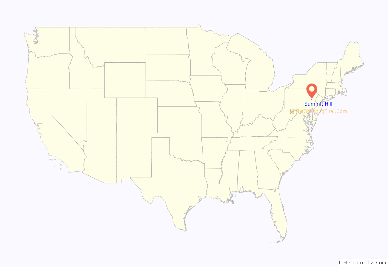
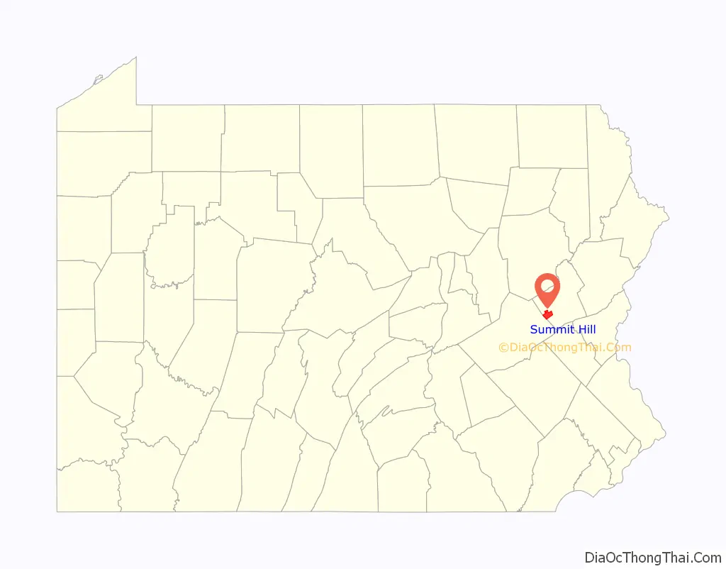
Summit Hill location map. Where is Summit Hill borough?
History
Anthracite coal was discovered on the ridgeline of Sharpe Mountain (now known as Pisgah Mountain) in 1791 by a hunter. News of the find led to the founding of the Lehigh Coal Mining Company, which in 1792 began exploring the area in earnest and buying up promising land. Coal was found in 1794 by Phillip Ginter along the northeast-to-southwest-running ridgeline of Pisgah Mountain lying several hundred feet below the ridge on the north slope in an area that became the boroughs of Summit Hill and Lansford.
Summit Hill High School was added to the National Register of Historic Places in 2001.
Summit Hill Road Map
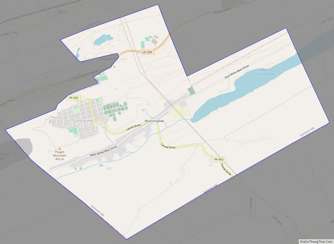
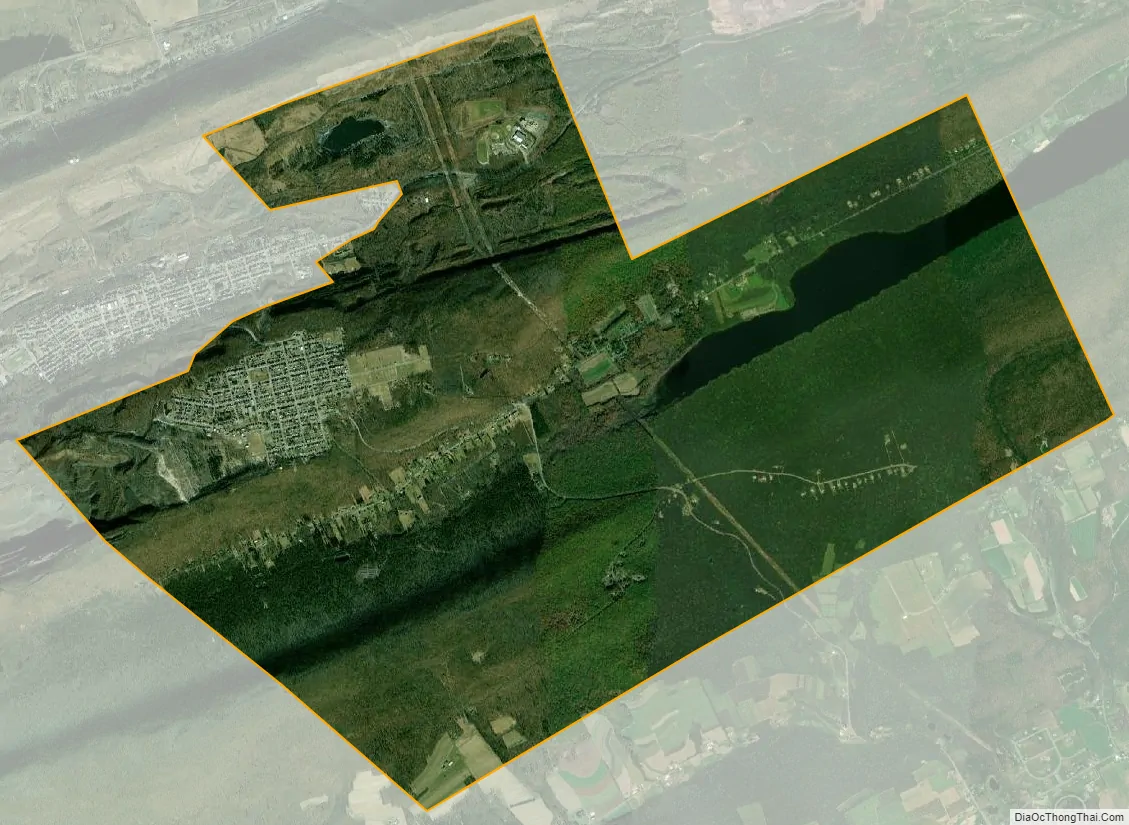
Summit Hill city Satellite Map
Geography
Summit Hill is located in western Carbon County at 40°49′39″N 75°51′57″W / 40.82750°N 75.86583°W / 40.82750; -75.86583 (40.827420, -75.865892). The main development of the borough is on the crest of Pisgah Mountain, but the borough limits extend north to the ridgecrest of Nesquehoning Mountain, south to the far side of Mauch Chunk Mountain, and east to cover most of Mauch Chunk Lake. Also on the northern border is the borough of Lansford, while Tamaqua in Schuylkill County is on the western border.
According to the U.S. Census Bureau, Summit Hill borough has a total area of 9.1 square miles (23.6 km), of which 8.7 square miles (22.5 km) is land and 0.42 square miles (1.1 km), or 4.54%, is water. Summit Hill is located 6 miles (10 km) southwest of Jim Thorpe and 1 mile south of Lansford. Summit Hill’s elevation varies from 1,520 feet (460 m) above sea level in the borough center to 1,620 feet (490 m) at the highest point on Pisgah Mountain to 1,010 feet (310 m) at Mauch Chunk Lake.
See also
Map of Pennsylvania State and its subdivision:- Adams
- Allegheny
- Armstrong
- Beaver
- Bedford
- Berks
- Blair
- Bradford
- Bucks
- Butler
- Cambria
- Cameron
- Carbon
- Centre
- Chester
- Clarion
- Clearfield
- Clinton
- Columbia
- Crawford
- Cumberland
- Dauphin
- Delaware
- Elk
- Erie
- Fayette
- Forest
- Franklin
- Fulton
- Greene
- Huntingdon
- Indiana
- Jefferson
- Juniata
- Lackawanna
- Lancaster
- Lawrence
- Lebanon
- Lehigh
- Luzerne
- Lycoming
- Mc Kean
- Mercer
- Mifflin
- Monroe
- Montgomery
- Montour
- Northampton
- Northumberland
- Perry
- Philadelphia
- Pike
- Potter
- Schuylkill
- Snyder
- Somerset
- Sullivan
- Susquehanna
- Tioga
- Union
- Venango
- Warren
- Washington
- Wayne
- Westmoreland
- Wyoming
- York
- Alabama
- Alaska
- Arizona
- Arkansas
- California
- Colorado
- Connecticut
- Delaware
- District of Columbia
- Florida
- Georgia
- Hawaii
- Idaho
- Illinois
- Indiana
- Iowa
- Kansas
- Kentucky
- Louisiana
- Maine
- Maryland
- Massachusetts
- Michigan
- Minnesota
- Mississippi
- Missouri
- Montana
- Nebraska
- Nevada
- New Hampshire
- New Jersey
- New Mexico
- New York
- North Carolina
- North Dakota
- Ohio
- Oklahoma
- Oregon
- Pennsylvania
- Rhode Island
- South Carolina
- South Dakota
- Tennessee
- Texas
- Utah
- Vermont
- Virginia
- Washington
- West Virginia
- Wisconsin
- Wyoming