Trexlertown is an unincorporated community and census-designated place (CDP) in Upper Macungie Township in Lehigh County, Pennsylvania. As of the 2020 census, the population was 2,382. It is part of the Lehigh Valley, which had a population of 861,899 and was the 68th-most populous metropolitan area in the U.S. as of the 2020 census, and lies between Breinigsville and Wescosville.
The global corporate headquarters of Air Products is located immediately across the Trexlertown’s eastern border with Allentown. Lehigh Valley Velodrome, a velodrome for professional and amateur cycling, also is located next to Trexlertown, in Breinigsville. Trexlertown is also home to one of four Allentown-area Yocco’s Hot Dogs restaurants, located at 7150 Hamilton Boulevard.
| Name: | Trexlertown CDP |
|---|---|
| LSAD Code: | 57 |
| LSAD Description: | CDP (suffix) |
| State: | Pennsylvania |
| County: | Lehigh County |
| Elevation: | 397 ft (121 m) |
| Land Area: | 2.08 sq mi (5.38 km²) |
| Water Area: | 0.02 sq mi (0.04 km²) |
| Population Density: | 1,147.40/sq mi (443.06/km²) |
| ZIP code: | 18087 |
| Area code: | 610 and 484 |
| FIPS code: | 4277488 |
| GNISfeature ID: | 1189757 |
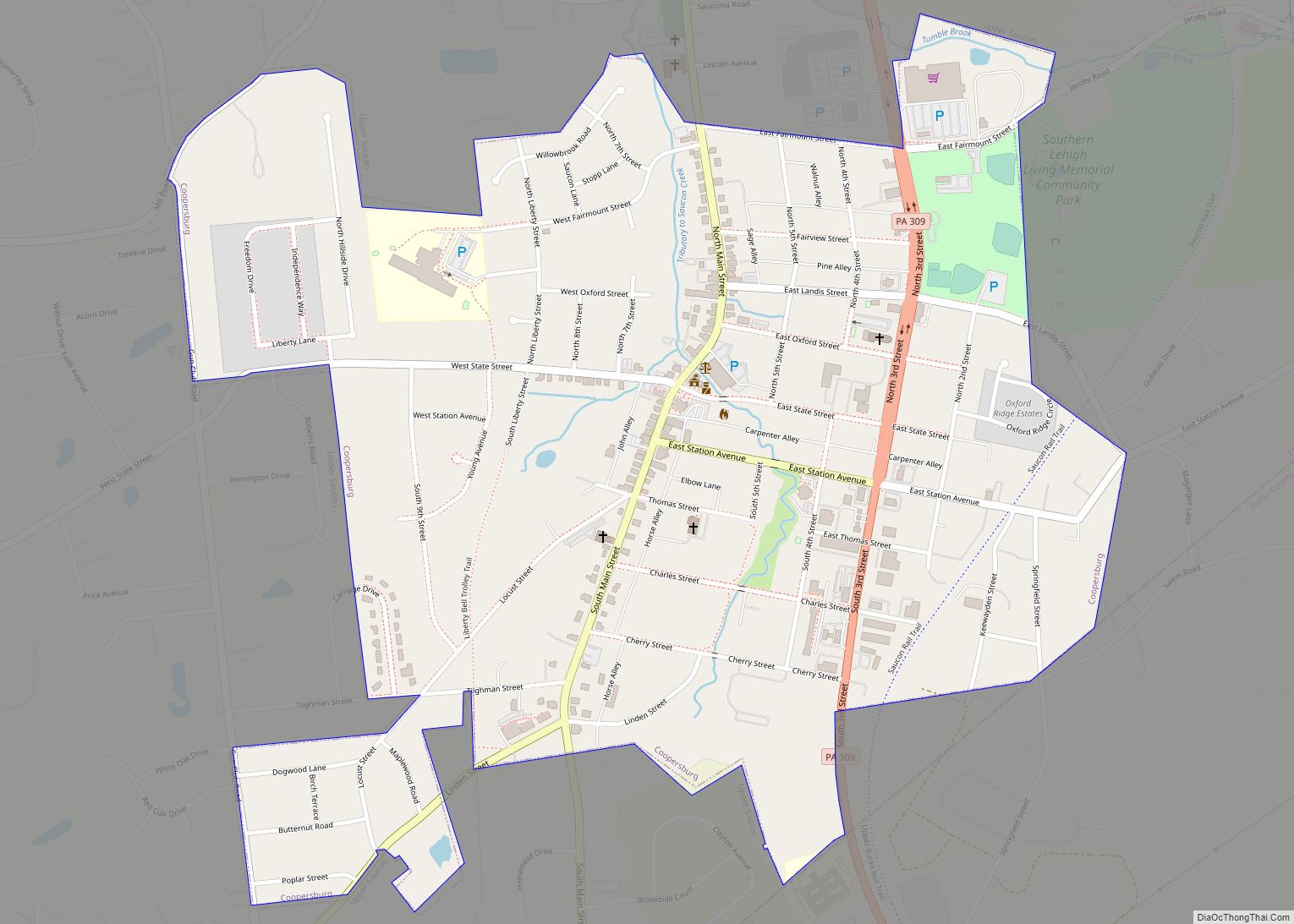
Online Interactive Map
Click on ![]() to view map in "full screen" mode.
to view map in "full screen" mode.
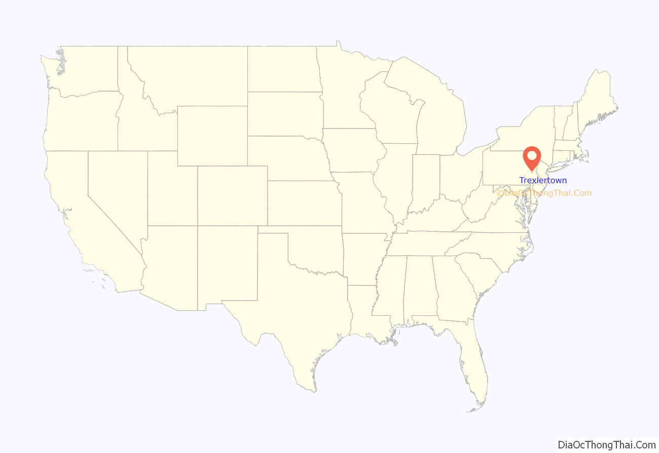
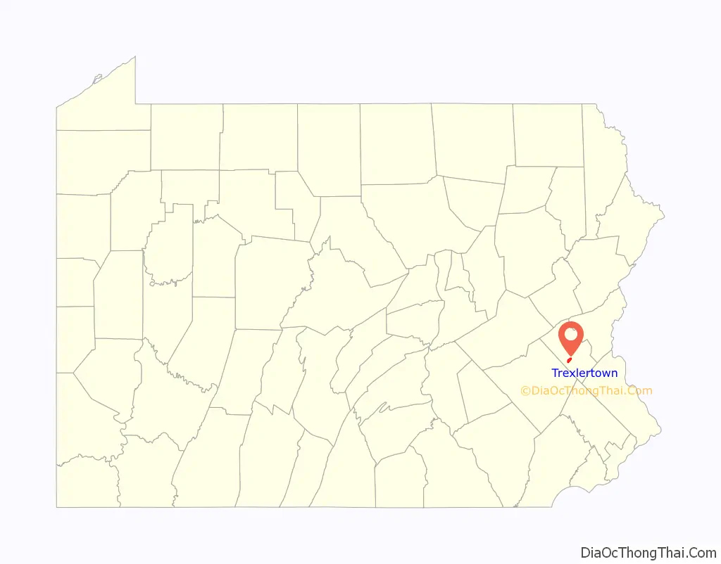
Trexlertown location map. Where is Trexlertown CDP?
History
Jeremiah Trexler obtained land adjoining that of his father in Upper Macungie Township, where he kept a tavern as early as in 1732. In 1734 a road was laid out from his tavern through North Wales to Philadelphia. As was the custom of the time, a village grew around the tavern, which came to be known as Trexlertown.
One of the four Yocco’s Hot Dogs restaurants, the Lehigh Valley-based fast food establishment known nationally for their hot dogs and cheesesteaks, is located in Trexlertown at 7150 Hamilton Boulevard.
Trexlertown Road Map
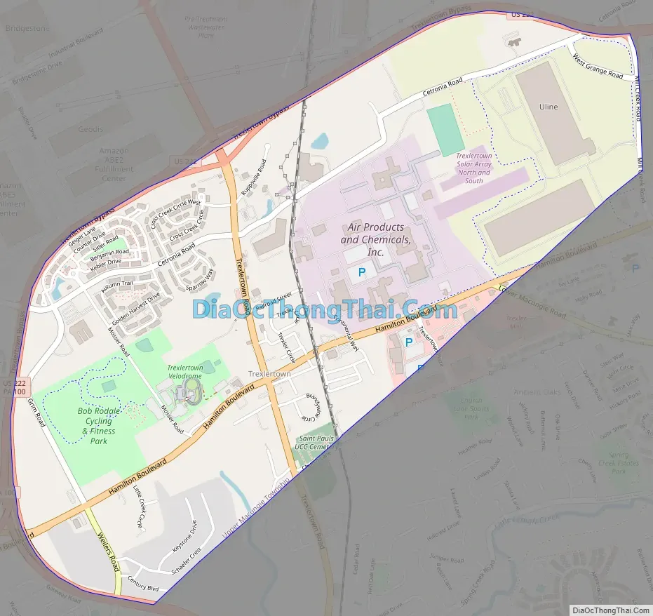
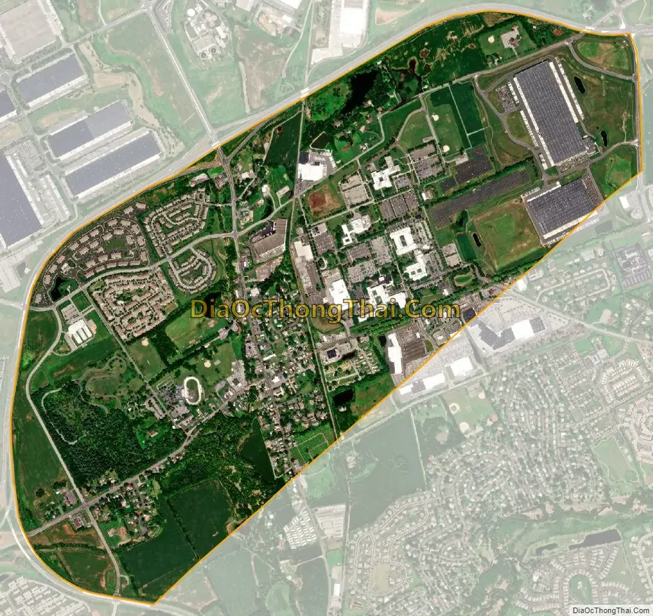
Trexlertown city Satellite Map
Geography
Trexlertown is located southwest of the center of Lehigh County along the southeastern edge of Upper Macungie Township at an altitude of 397 feet (121 m). It is bordered to the southwest by Breinigsville and to the southeast by Lower Macungie Township. U.S. Route 222 forms the northern edge of the community; US 222 leads northeast 3 miles (5 km) to its terminus at Interstate 78 outside of Allentown and southwest 30 miles (48 km) to Reading. Pennsylvania Route 100 forms the western edge of Trexlertown, leading north 11 miles (18 km) to its terminus at PA 309 near Pleasant Corners and south 27 miles (43 km) to Pottstown.
According to the U.S. Census Bureau, Trexlertown has a total area of 2.1 square miles (5.4 km), of which 0.02 square miles (0.04 km), or 0.80%, are water. Schaefer Run and Iron Run join in the southwestern part of the community to form Spring Creek, a southwestward-flowing tributary of Little Lehigh Creek and part of the Lehigh River watershed.
See also
Map of Pennsylvania State and its subdivision:- Adams
- Allegheny
- Armstrong
- Beaver
- Bedford
- Berks
- Blair
- Bradford
- Bucks
- Butler
- Cambria
- Cameron
- Carbon
- Centre
- Chester
- Clarion
- Clearfield
- Clinton
- Columbia
- Crawford
- Cumberland
- Dauphin
- Delaware
- Elk
- Erie
- Fayette
- Forest
- Franklin
- Fulton
- Greene
- Huntingdon
- Indiana
- Jefferson
- Juniata
- Lackawanna
- Lancaster
- Lawrence
- Lebanon
- Lehigh
- Luzerne
- Lycoming
- Mc Kean
- Mercer
- Mifflin
- Monroe
- Montgomery
- Montour
- Northampton
- Northumberland
- Perry
- Philadelphia
- Pike
- Potter
- Schuylkill
- Snyder
- Somerset
- Sullivan
- Susquehanna
- Tioga
- Union
- Venango
- Warren
- Washington
- Wayne
- Westmoreland
- Wyoming
- York
- Alabama
- Alaska
- Arizona
- Arkansas
- California
- Colorado
- Connecticut
- Delaware
- District of Columbia
- Florida
- Georgia
- Hawaii
- Idaho
- Illinois
- Indiana
- Iowa
- Kansas
- Kentucky
- Louisiana
- Maine
- Maryland
- Massachusetts
- Michigan
- Minnesota
- Mississippi
- Missouri
- Montana
- Nebraska
- Nevada
- New Hampshire
- New Jersey
- New Mexico
- New York
- North Carolina
- North Dakota
- Ohio
- Oklahoma
- Oregon
- Pennsylvania
- Rhode Island
- South Carolina
- South Dakota
- Tennessee
- Texas
- Utah
- Vermont
- Virginia
- Washington
- West Virginia
- Wisconsin
- Wyoming