Union City is a borough in Erie County, Pennsylvania, United States. It is located 22 miles (35 km) southeast of Erie. In the twentieth century, there were three large chair factories, planing and grist mills, a powdered milk plant, and several furniture factories. The population was 2,934 at the 2020 census. Nearly 96.69% of the town is related. It is part of the Erie Metropolitan Statistical Area.
| Name: | Union City borough |
|---|---|
| LSAD Code: | 21 |
| LSAD Description: | borough (suffix) |
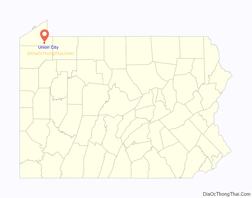
| State: | Pennsylvania |
| County: | Erie County |
| Total Area: | 1.85 sq mi (4.81 km²) |
| Land Area: | 1.83 sq mi (4.74 km²) |
| Water Area: | 0.03 sq mi (0.07 km²) |
| Total Population: | 2,927 |
| Population Density: | 1,599.45/sq mi (617.53/km²) |
| ZIP code: | 16438 |
| Area code: | 814 |
| FIPS code: | 4278448 |
| Website: | unioncitypa.us |
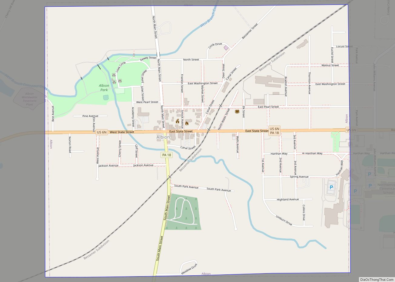
Online Interactive Map
Click on ![]() to view map in "full screen" mode.
to view map in "full screen" mode.
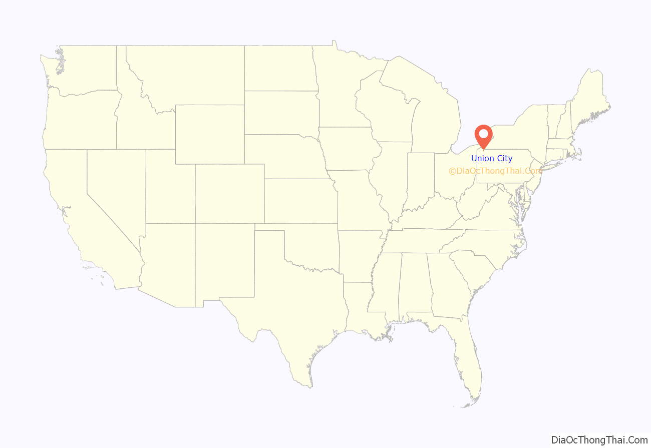
Union City location map. Where is Union City borough?
History
The Union City Historic District was listed on the National Register of Historic Places on January 31, 1990, after Erie County Historical Society members John Claridge and William Sisson included the following historical information in a nomination document to the National Park Service in August, 1989.
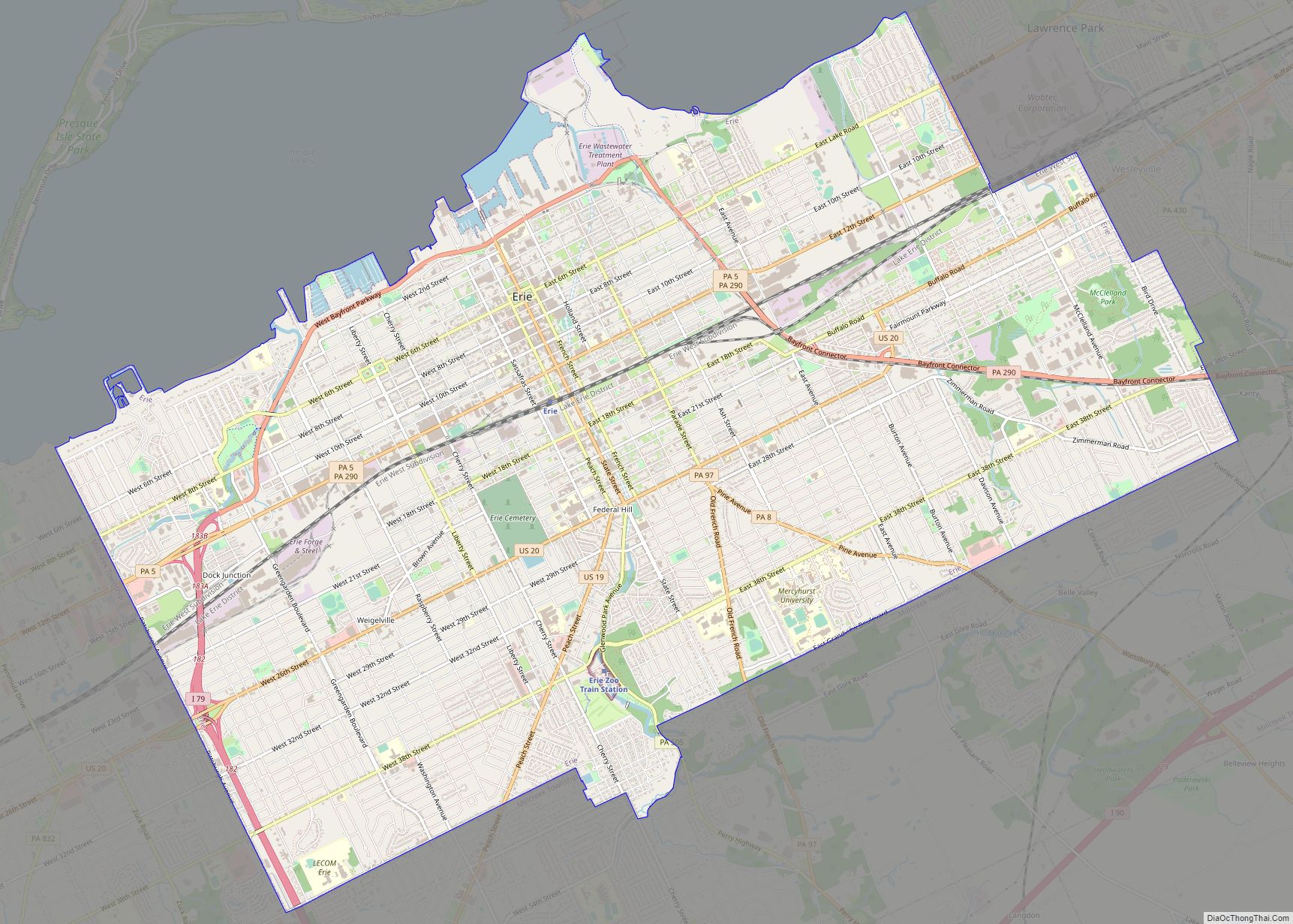
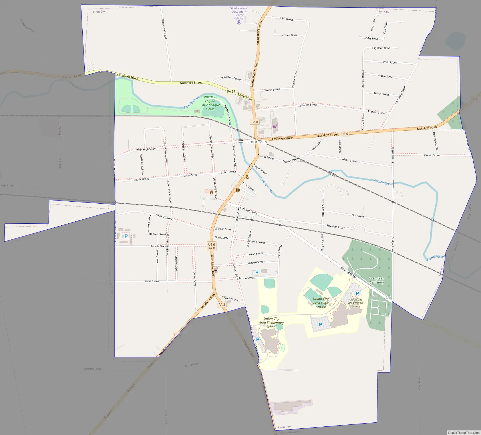
Union City Road Map
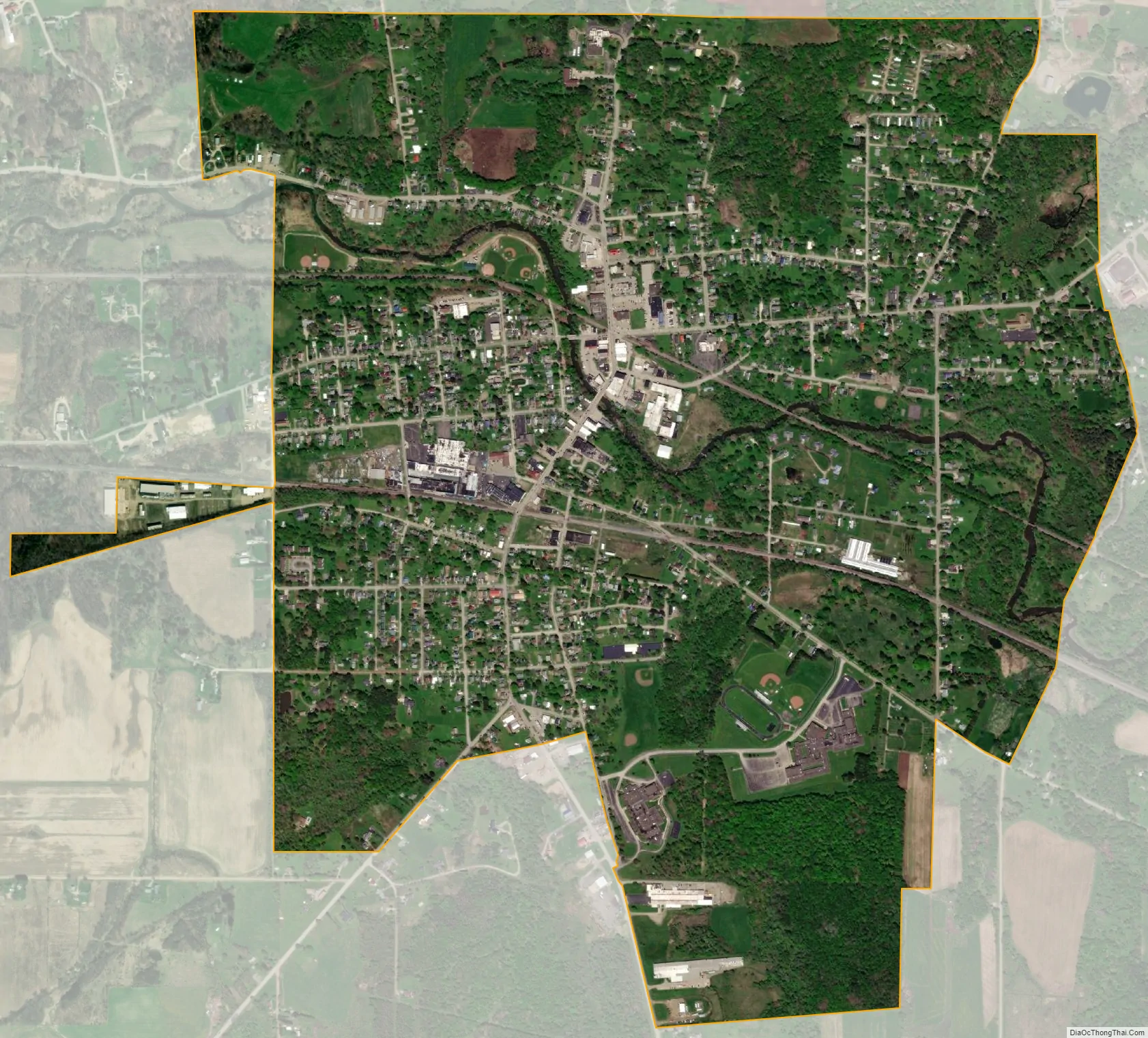
Union City city Satellite Map
Geography
Union City is in southeastern Erie County at 41°53′46″N 79°50′40″W / 41.89611°N 79.84444°W / 41.89611; -79.84444 (41.896056, -79.844425). It is surrounded by Union Township.
U.S. Route 6 and Pennsylvania Route 8 pass through the center of town as Main Street. US 6 heads east out of town on High Street, leading 11 miles (18 km) to Corry, and in the other direction turns southwest off Main Street onto Meadville Road, leading 30 miles (48 km) to Meadville. PA 8 leads north 8 miles (13 km) to Wattsburg and 27 miles (43 km) by an indirect route to Erie; to the south PA 8 leads 22 miles (35 km) to Titusville. Pennsylvania Route 97 heads west out of town as Waterford Street, leading 8 miles (13 km) to Waterford.
According to the U.S. Census Bureau, the borough has an area of 1.9 square miles (4.8 km), of which 0.03 square miles (0.07 km), or 1.36%, is water. The South Branch of French Creek, a tributary of the Allegheny River, flows east to west through the borough’s center. Bentley Run, which supplies the Union City Reservoir, joins South Branch French Creek in Union City, Pennsylvania.
See also
Map of Pennsylvania State and its subdivision:- Adams
- Allegheny
- Armstrong
- Beaver
- Bedford
- Berks
- Blair
- Bradford
- Bucks
- Butler
- Cambria
- Cameron
- Carbon
- Centre
- Chester
- Clarion
- Clearfield
- Clinton
- Columbia
- Crawford
- Cumberland
- Dauphin
- Delaware
- Elk
- Erie
- Fayette
- Forest
- Franklin
- Fulton
- Greene
- Huntingdon
- Indiana
- Jefferson
- Juniata
- Lackawanna
- Lancaster
- Lawrence
- Lebanon
- Lehigh
- Luzerne
- Lycoming
- Mc Kean
- Mercer
- Mifflin
- Monroe
- Montgomery
- Montour
- Northampton
- Northumberland
- Perry
- Philadelphia
- Pike
- Potter
- Schuylkill
- Snyder
- Somerset
- Sullivan
- Susquehanna
- Tioga
- Union
- Venango
- Warren
- Washington
- Wayne
- Westmoreland
- Wyoming
- York
- Alabama
- Alaska
- Arizona
- Arkansas
- California
- Colorado
- Connecticut
- Delaware
- District of Columbia
- Florida
- Georgia
- Hawaii
- Idaho
- Illinois
- Indiana
- Iowa
- Kansas
- Kentucky
- Louisiana
- Maine
- Maryland
- Massachusetts
- Michigan
- Minnesota
- Mississippi
- Missouri
- Montana
- Nebraska
- Nevada
- New Hampshire
- New Jersey
- New Mexico
- New York
- North Carolina
- North Dakota
- Ohio
- Oklahoma
- Oregon
- Pennsylvania
- Rhode Island
- South Carolina
- South Dakota
- Tennessee
- Texas
- Utah
- Vermont
- Virginia
- Washington
- West Virginia
- Wisconsin
- Wyoming