Waynesboro is a borough in Franklin County, Pennsylvania, United States. Located on the southern border of the state, Waynesboro is in the Cumberland Valley between Hagerstown, Maryland, and Chambersburg, Pennsylvania. It is part of Chambersburg, PA Micropolitan Statistical Area, which is part of the Washington–Baltimore metropolitan area. It is two miles north of the Mason–Dixon line and close to Camp David and the Raven Rock Mountain Complex.
The population within the borough limits was 10,951 at the 2020 census. When combined with the surrounding Washington and Quincy Townships, the population of greater Waynesboro is 31,166. The Waynesboro Area School District serves a resident population of 32,386, according to 2010 federal census data.
| Name: | Waynesboro borough |
|---|---|
| LSAD Code: | 21 |
| LSAD Description: | borough (suffix) |
| State: | Pennsylvania |
| County: | Franklin County |
| Elevation: | 718 ft (219 m) |
| Total Area: | 3.41 sq mi (8.84 km²) |
| Land Area: | 3.41 sq mi (8.84 km²) |
| Water Area: | 0.00 sq mi (0.00 km²) |
| Total Population: | 10,951 |
| Population Density: | 3,190.50/sq mi (1,231.92/km²) |
| ZIP code: | 17268 |
| Area code: | 717, 223 |
| FIPS code: | 4281824 |
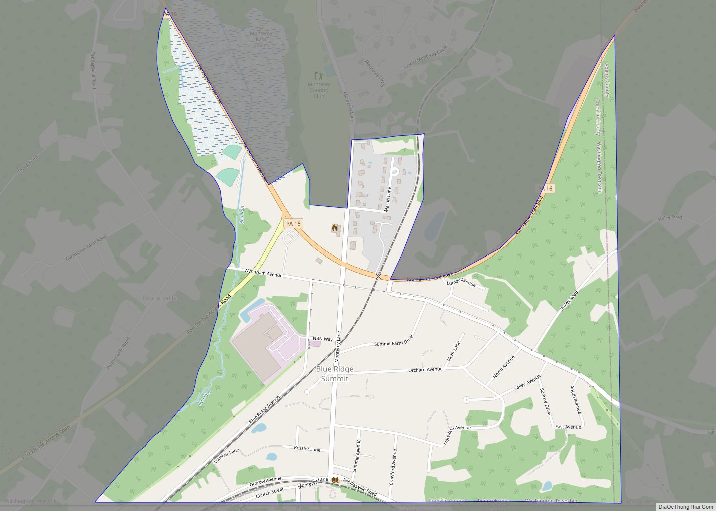
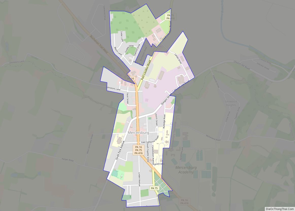
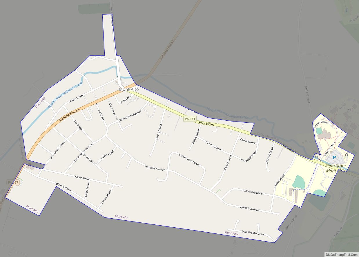
Online Interactive Map
Click on ![]() to view map in "full screen" mode.
to view map in "full screen" mode.
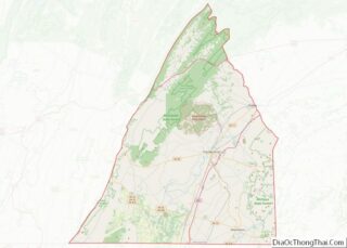
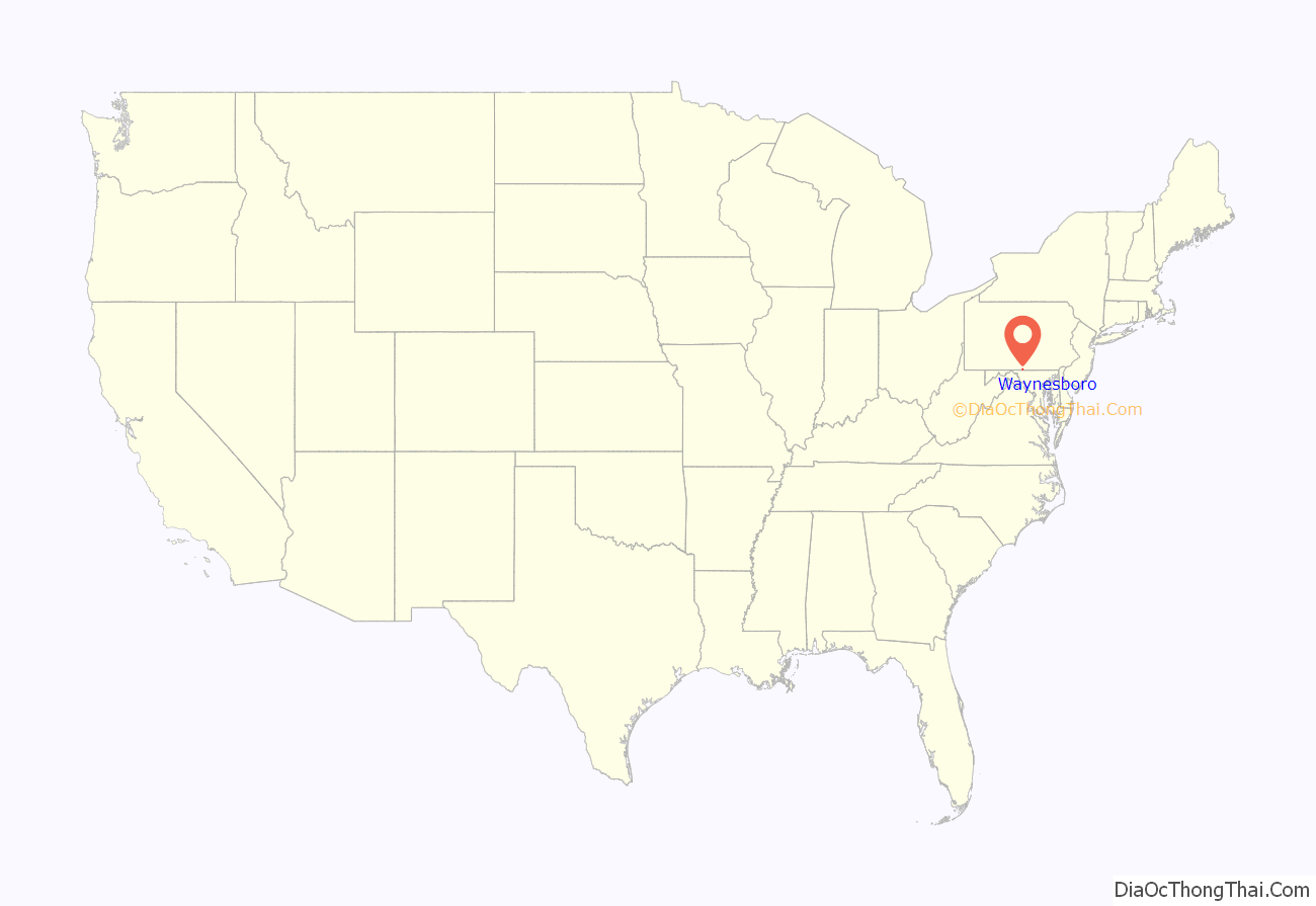
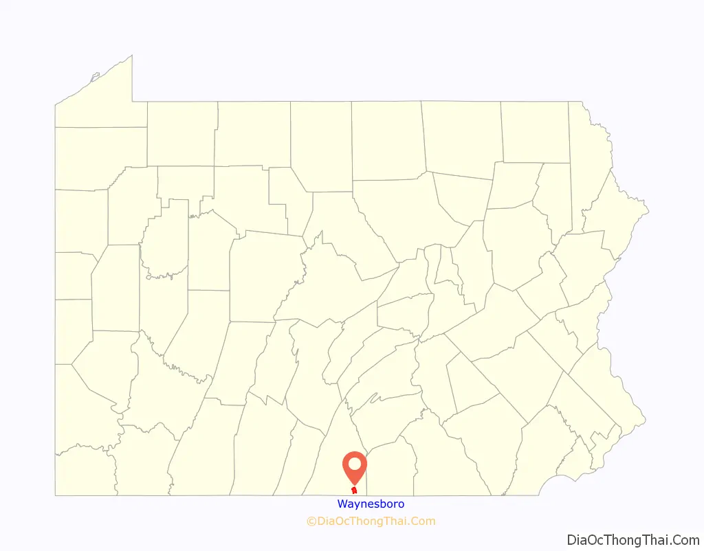
Waynesboro location map. Where is Waynesboro borough?
History
The region around Antietam Creek had been home to Native Americans for thousands of years prior to settlement by Anglo-Europeans in the mid-18th century. Beginning in 1751, a certain John Wallace obtained several warrants for the land on which the center of the town now stands. In 1797, John Wallace, a son of the original Scottish settler, laid out the town of Waynesburg in Franklin (formerly Cumberland) County, Pennsylvania (USA). When incorporated in 1831, the borough was given the name “Waynesboro”. It is one of several dozen towns, cities, and counties named after General Anthony Wayne, a hero of the American Revolution.
During the Civil War, Waynesboro played a part in the Gettysburg campaign in June and July 1863. In the week before the Battle of Gettysburg, Confederate Major General Jubal Early’s division of Lieutenant General Richard S. Ewell’s corps of the Army of Northern Virginia passed through the community on its way northward. After the battle, General Robert E. Lee rode through the border community with his retreating forces.
Numerous stone grain mills are in the area: Welty’s Mill, Shank’s Mill, Hopewell Roller Mill and others. Most of them still standing and in use.
By the early years of the 20th century, Waynesboro had become an industrial town. It was known for the manufacture of engines, boilers, grinders, threshers, boring machines, bolt cutters, wood and iron workers’ vises, nut facers, etc. There were also foundries and machine shops and manufacturers of lumber products. Local companies included Frick Company, Geiser Manufacturing, Waynesboro Knitting Mill, Connie’s Sportwear, Freeman’s Shoes, Landis Machine Company, and Landis Tool Company. In 1900, 5,396 people lived in the town; in 1910, 7,199 people; and in 1940, 10,231 people (notably more than in the year 2000 census).
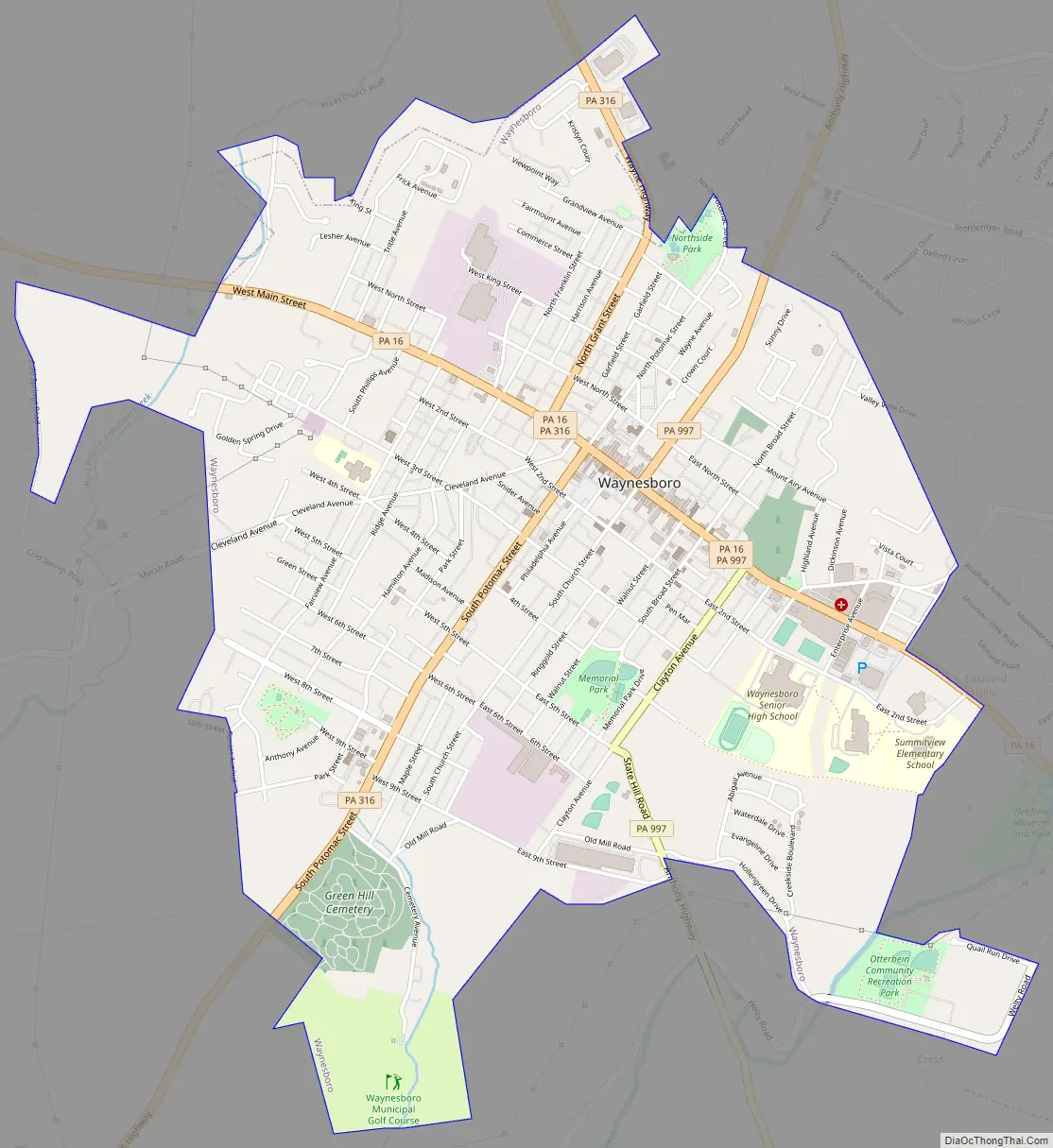
Waynesboro Road Map
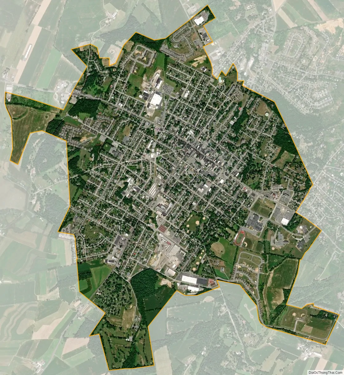
Waynesboro city Satellite Map
Geography
Waynesboro is located at 39°45’13” North, 77°34’55” West (39.753685, −77.581980).
According to the U.S. Census Bureau, the borough has a total area of 3.4 square miles (8.8 km), all land.
See also
Map of Pennsylvania State and its subdivision:- Adams
- Allegheny
- Armstrong
- Beaver
- Bedford
- Berks
- Blair
- Bradford
- Bucks
- Butler
- Cambria
- Cameron
- Carbon
- Centre
- Chester
- Clarion
- Clearfield
- Clinton
- Columbia
- Crawford
- Cumberland
- Dauphin
- Delaware
- Elk
- Erie
- Fayette
- Forest
- Franklin
- Fulton
- Greene
- Huntingdon
- Indiana
- Jefferson
- Juniata
- Lackawanna
- Lancaster
- Lawrence
- Lebanon
- Lehigh
- Luzerne
- Lycoming
- Mc Kean
- Mercer
- Mifflin
- Monroe
- Montgomery
- Montour
- Northampton
- Northumberland
- Perry
- Philadelphia
- Pike
- Potter
- Schuylkill
- Snyder
- Somerset
- Sullivan
- Susquehanna
- Tioga
- Union
- Venango
- Warren
- Washington
- Wayne
- Westmoreland
- Wyoming
- York
- Alabama
- Alaska
- Arizona
- Arkansas
- California
- Colorado
- Connecticut
- Delaware
- District of Columbia
- Florida
- Georgia
- Hawaii
- Idaho
- Illinois
- Indiana
- Iowa
- Kansas
- Kentucky
- Louisiana
- Maine
- Maryland
- Massachusetts
- Michigan
- Minnesota
- Mississippi
- Missouri
- Montana
- Nebraska
- Nevada
- New Hampshire
- New Jersey
- New Mexico
- New York
- North Carolina
- North Dakota
- Ohio
- Oklahoma
- Oregon
- Pennsylvania
- Rhode Island
- South Carolina
- South Dakota
- Tennessee
- Texas
- Utah
- Vermont
- Virginia
- Washington
- West Virginia
- Wisconsin
- Wyoming