Weedville is an unincorporated community and census-designated place in Jay Township, Elk County, Pennsylvania, United States. As of the 2010 census, the population was 542.
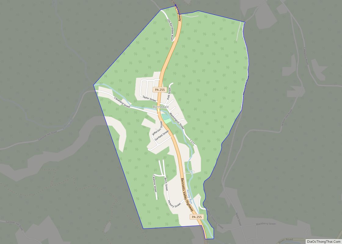
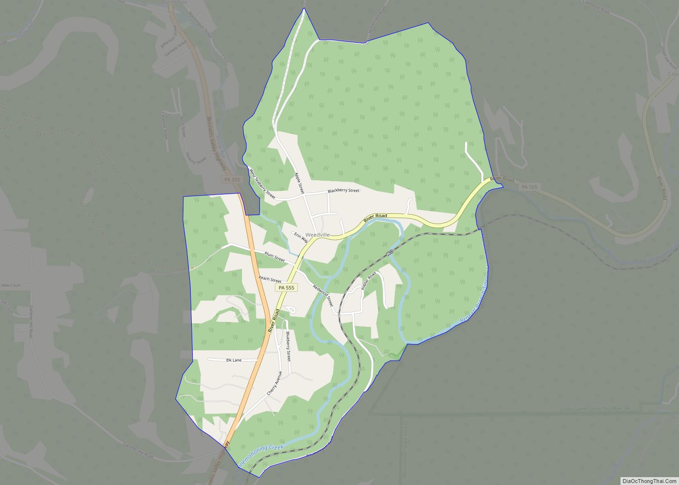
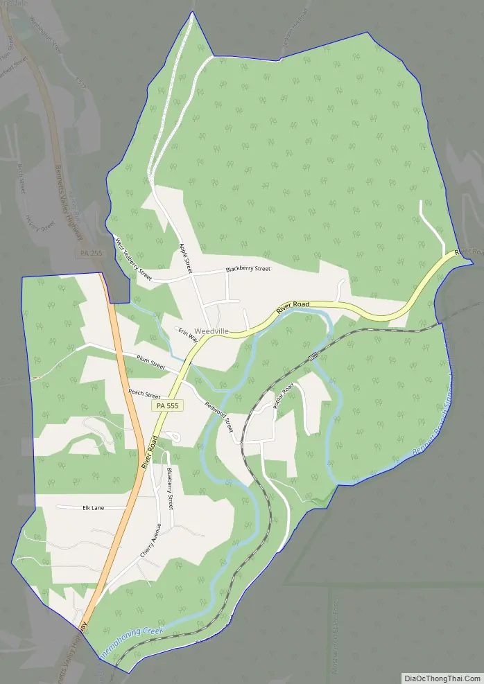
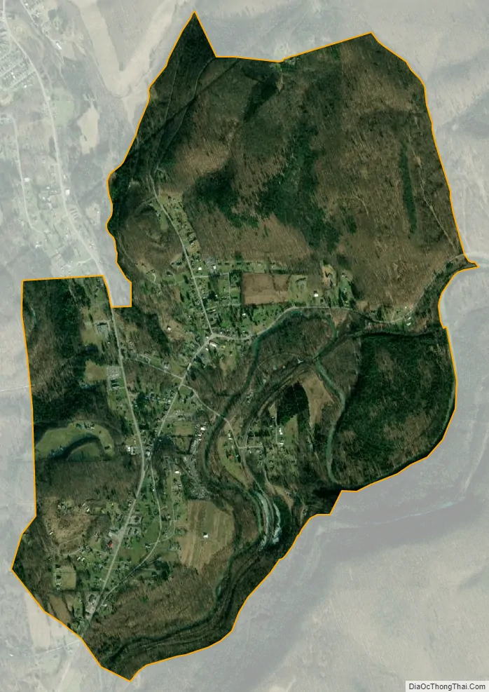
Weedville is located in the southern part of Jay Township, in southeastern Elk County, in the valley of the Bennett Branch Sinnemahoning Creek, a tributary of the West Branch Susquehanna River. It is bordered to the northwest by Byrnedale and to the southwest by Force. Pennsylvania Route 255 passes through the community, leading north 12 miles (19 km) to St. Marys and southwest 19 miles (31 km) to DuBois. Pennsylvania Route 555 branches off PA 255 in the center of Weedville, leading northeast then east down the Bennett Branch valley 26 miles (42 km) to Driftwood.
| Name: | Weedville CDP |
|---|---|
| LSAD Code: | 57 |
| LSAD Description: | CDP (suffix) |
| State: | Pennsylvania |
| County: | Elk County |
| Elevation: | 1,170 ft (360 m) |
| Total Area: | 2.00 sq mi (5.18 km²) |
| Land Area: | 1.95 sq mi (5.06 km²) |
| Water Area: | 0.05 sq mi (0.13 km²) |
| Total Population: | 542 |
| Population Density: | 278/sq mi (107.2/km²) |
| ZIP code: | 15868 |
| FIPS code: | 4281960 |
| GNISfeature ID: | 1190770 |
Online Interactive Map
Click on ![]() to view map in "full screen" mode.
to view map in "full screen" mode.
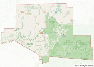
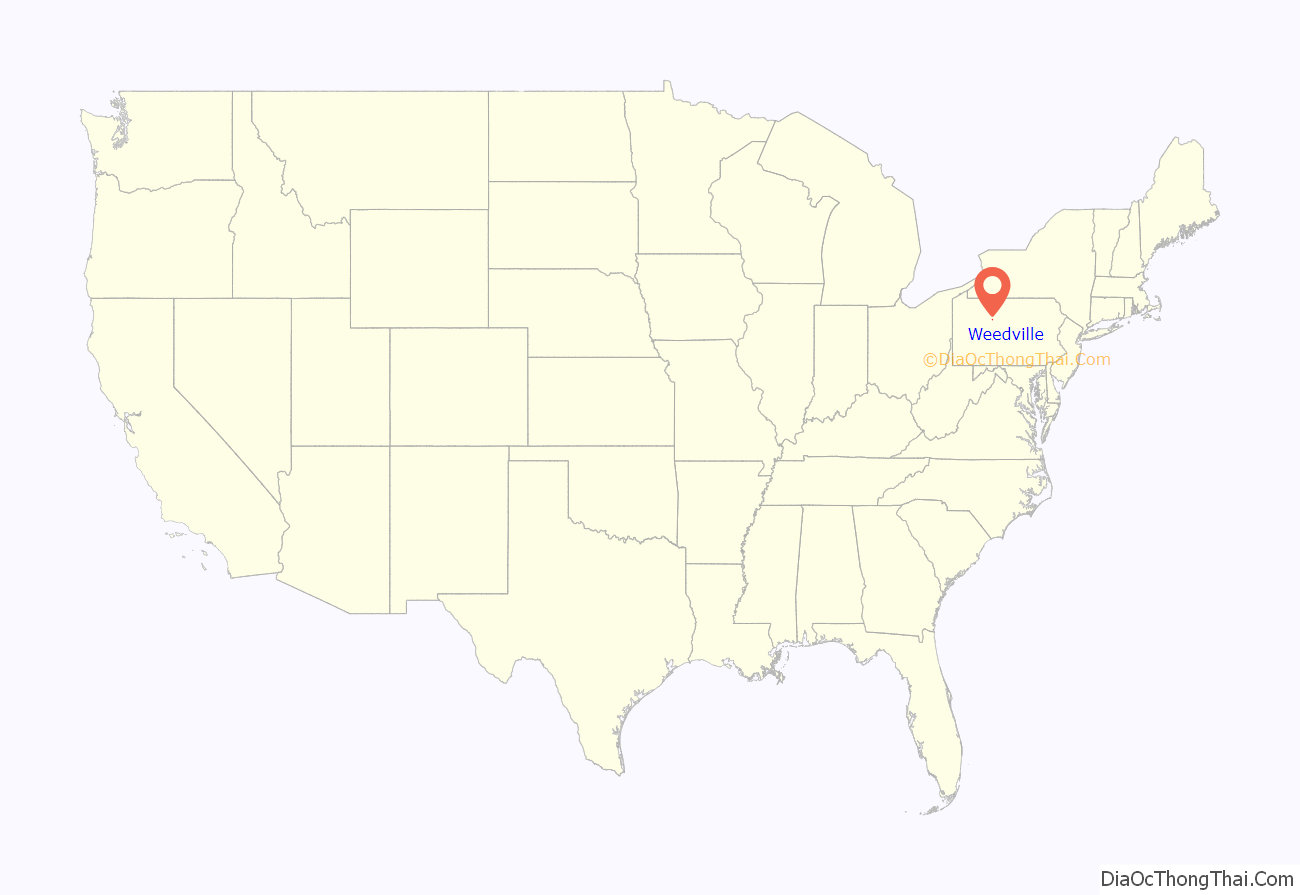
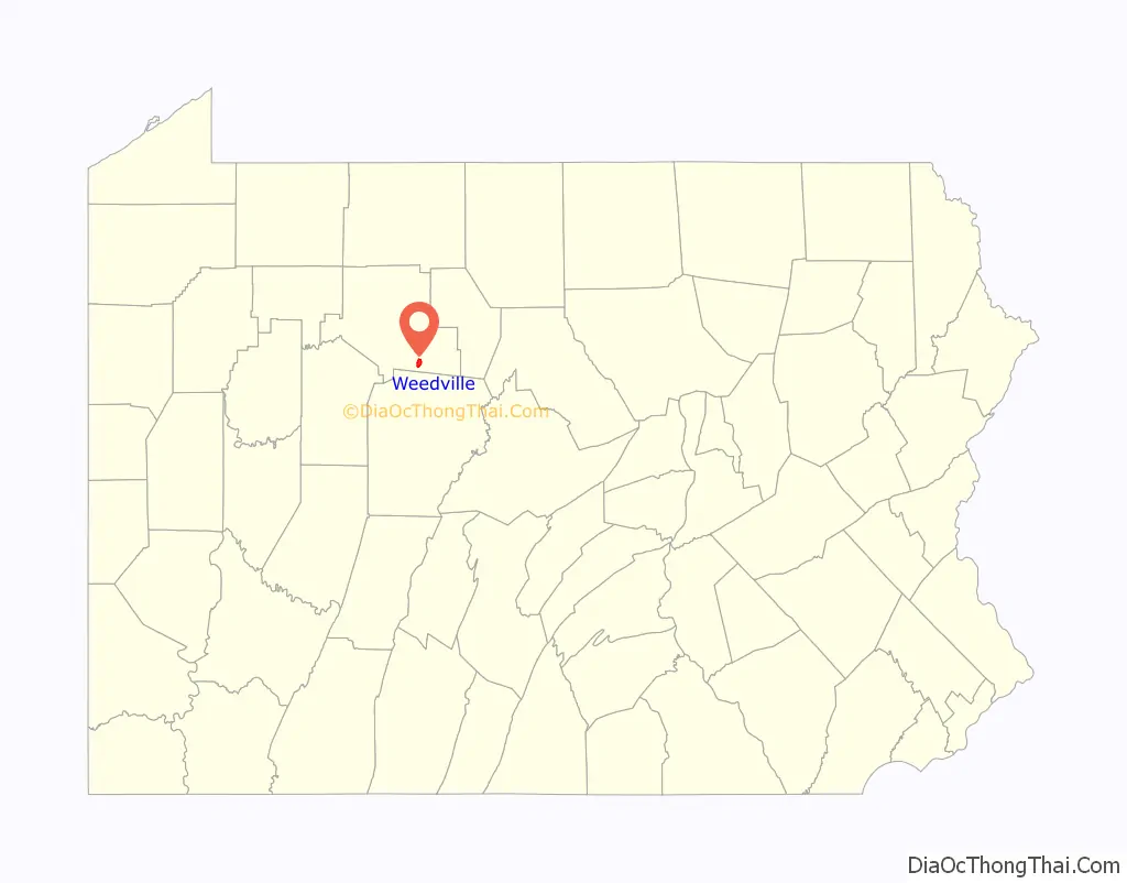
Weedville location map. Where is Weedville CDP?
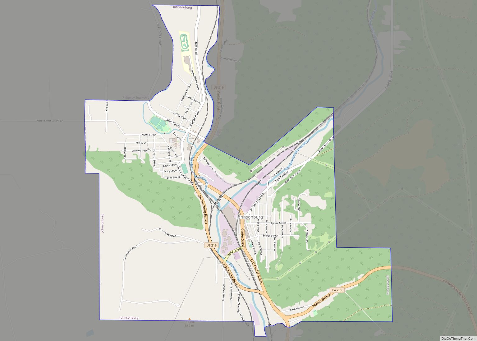
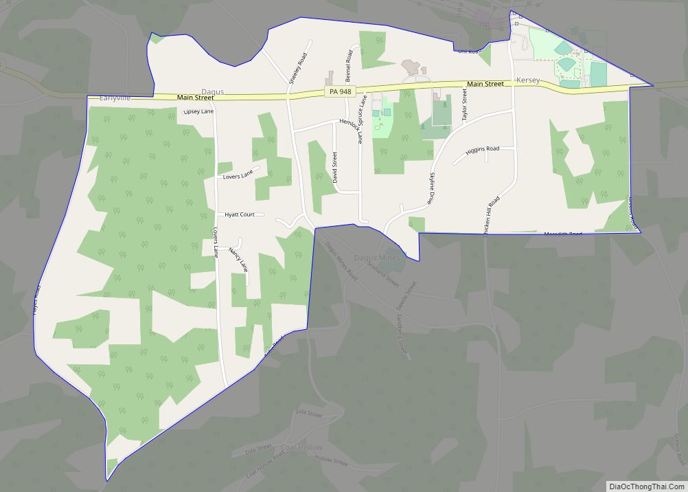
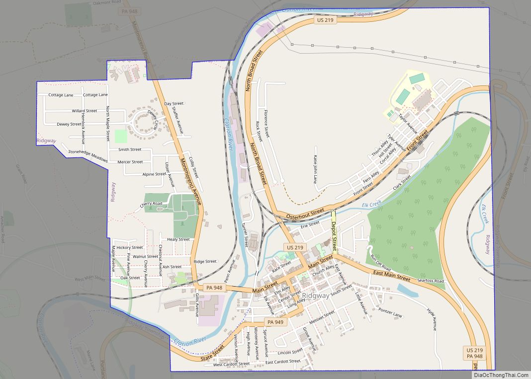
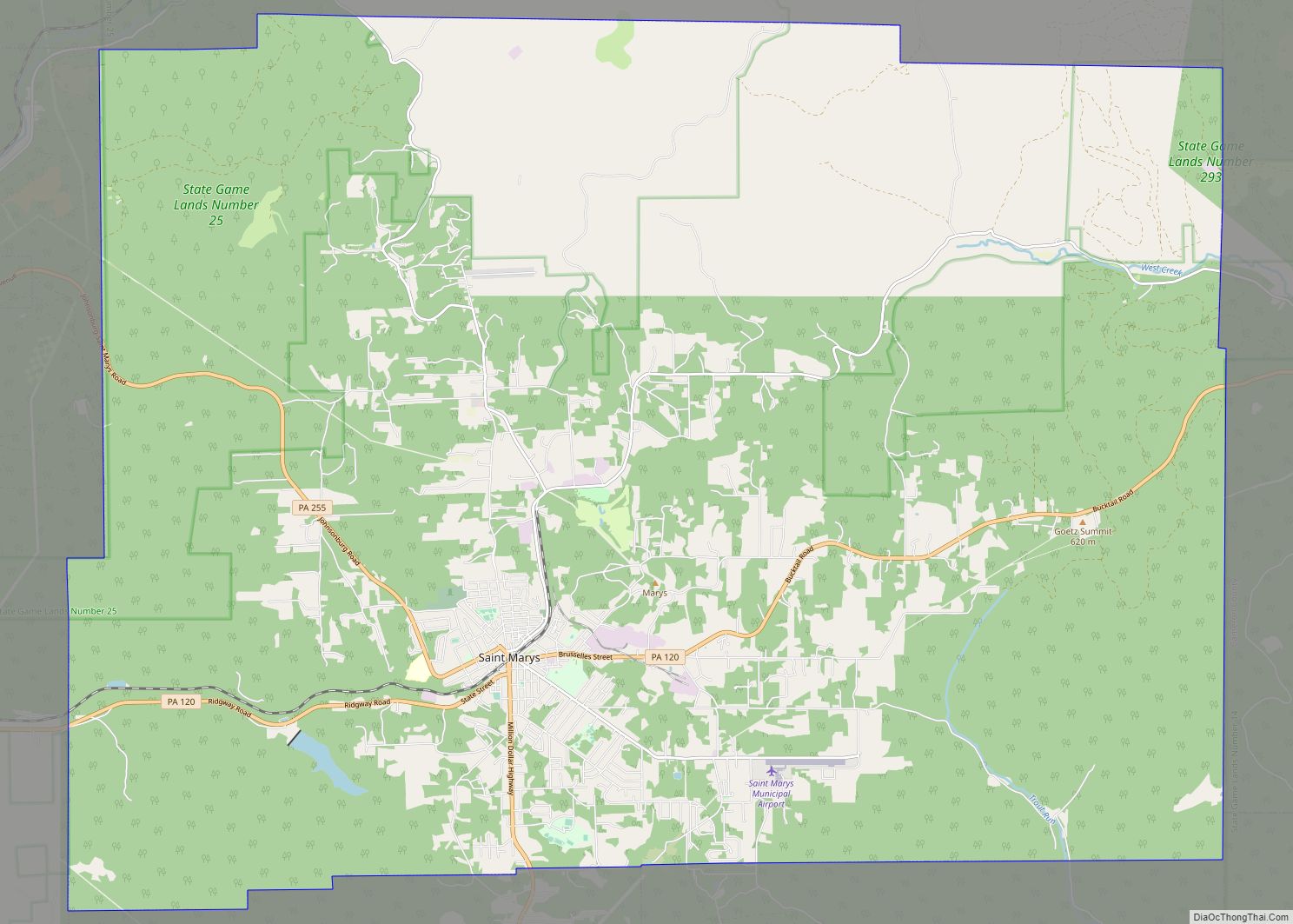
Weedville Road Map
Weedville city Satellite Map
See also
Map of Pennsylvania State and its subdivision:- Adams
- Allegheny
- Armstrong
- Beaver
- Bedford
- Berks
- Blair
- Bradford
- Bucks
- Butler
- Cambria
- Cameron
- Carbon
- Centre
- Chester
- Clarion
- Clearfield
- Clinton
- Columbia
- Crawford
- Cumberland
- Dauphin
- Delaware
- Elk
- Erie
- Fayette
- Forest
- Franklin
- Fulton
- Greene
- Huntingdon
- Indiana
- Jefferson
- Juniata
- Lackawanna
- Lancaster
- Lawrence
- Lebanon
- Lehigh
- Luzerne
- Lycoming
- Mc Kean
- Mercer
- Mifflin
- Monroe
- Montgomery
- Montour
- Northampton
- Northumberland
- Perry
- Philadelphia
- Pike
- Potter
- Schuylkill
- Snyder
- Somerset
- Sullivan
- Susquehanna
- Tioga
- Union
- Venango
- Warren
- Washington
- Wayne
- Westmoreland
- Wyoming
- York
- Alabama
- Alaska
- Arizona
- Arkansas
- California
- Colorado
- Connecticut
- Delaware
- District of Columbia
- Florida
- Georgia
- Hawaii
- Idaho
- Illinois
- Indiana
- Iowa
- Kansas
- Kentucky
- Louisiana
- Maine
- Maryland
- Massachusetts
- Michigan
- Minnesota
- Mississippi
- Missouri
- Montana
- Nebraska
- Nevada
- New Hampshire
- New Jersey
- New Mexico
- New York
- North Carolina
- North Dakota
- Ohio
- Oklahoma
- Oregon
- Pennsylvania
- Rhode Island
- South Carolina
- South Dakota
- Tennessee
- Texas
- Utah
- Vermont
- Virginia
- Washington
- West Virginia
- Wisconsin
- Wyoming