Berry Hill is a city in Davidson County, Tennessee. As of the 2020 census, the population was 2,112, up from
o at the 2010 census010 census 2010 census 537. The current mayor is Dennis Sheffield.
| Name: | Berry Hill city |
|---|---|
| LSAD Code: | 25 |
| LSAD Description: | city (suffix) |
| State: | Tennessee |
| County: | Davidson County |
| Elevation: | 535 ft (163 m) |
| Total Area: | 0.91 sq mi (2.35 km²) |
| Land Area: | 0.91 sq mi (2.35 km²) |
| Water Area: | 0.00 sq mi (0.00 km²) |
| Total Population: | 2,112 |
| Population Density: | 2,331.13/sq mi (900.31/km²) |
| ZIP code: | 37204 |
| FIPS code: | 4705140 |
| GNISfeature ID: | 1277057 |
| Website: | www.berryhilltn.org |
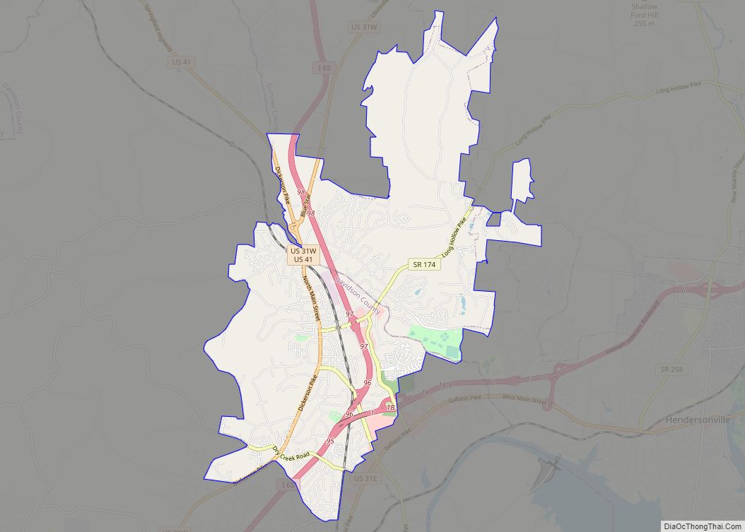
Online Interactive Map
Click on ![]() to view map in "full screen" mode.
to view map in "full screen" mode.
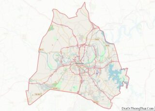
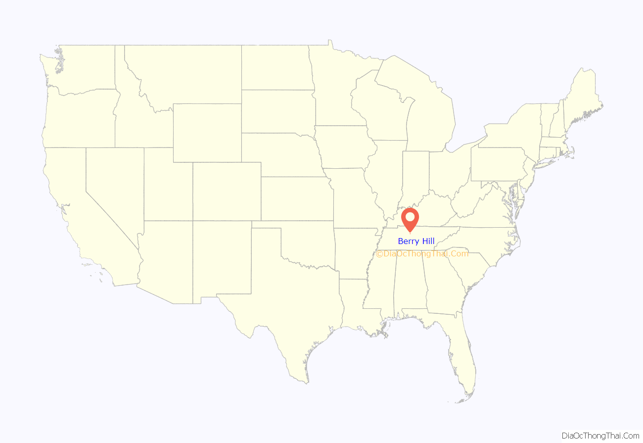
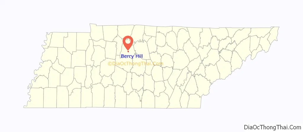
Berry Hill location map. Where is Berry Hill city?
History
Much of the area of Berry Hill was originally owned by William Wells Berry (1813–1876) and his descendants.
Residents of the area voted on whether to incorporate as a city on February 28, 1950. The vote was 138 to 135 favoring incorporation. Berry Hill became the first community in Davidson County to incorporate since Belle Meade incorporated in 1938. The population of Berry Hill at the time of incorporation numbered around 1,200. The city’s first mayor was Ralph Rosa, who served for 22 years.
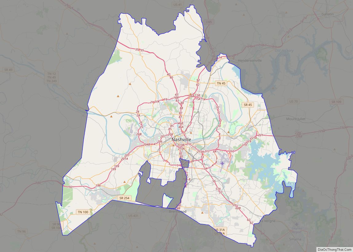
In 1963, the governments of Davidson County and the City of Nashville merged to form a consolidated metropolitan government, thereby making Berry Hill part of Metropolitan Nashville.
Beginning in 1970 when Buzz Cason purchased two houses in Berry Hill and converted them into his Creative Workshop recording studio, the area has become a center of the recording industry in Nashville, sometimes referred to as “Music Hill”, as a play on the “Music Row” music recording and production hub in Nashville.
In 1991, Berry Hill became home to the Center for Gay and Lesbian Community Services. It was described as “a vital part of Nashville’s gay and lesbian community” by The Tennessean in a 1993 article. Prior to 1991, the same building was home to the Tennessee Gay and Lesbian Alliance.
The area is adjacent to 100 Oaks Mall, the first enclosed shopping mall in Tennessee, and the Tennessee National Guard Armory.
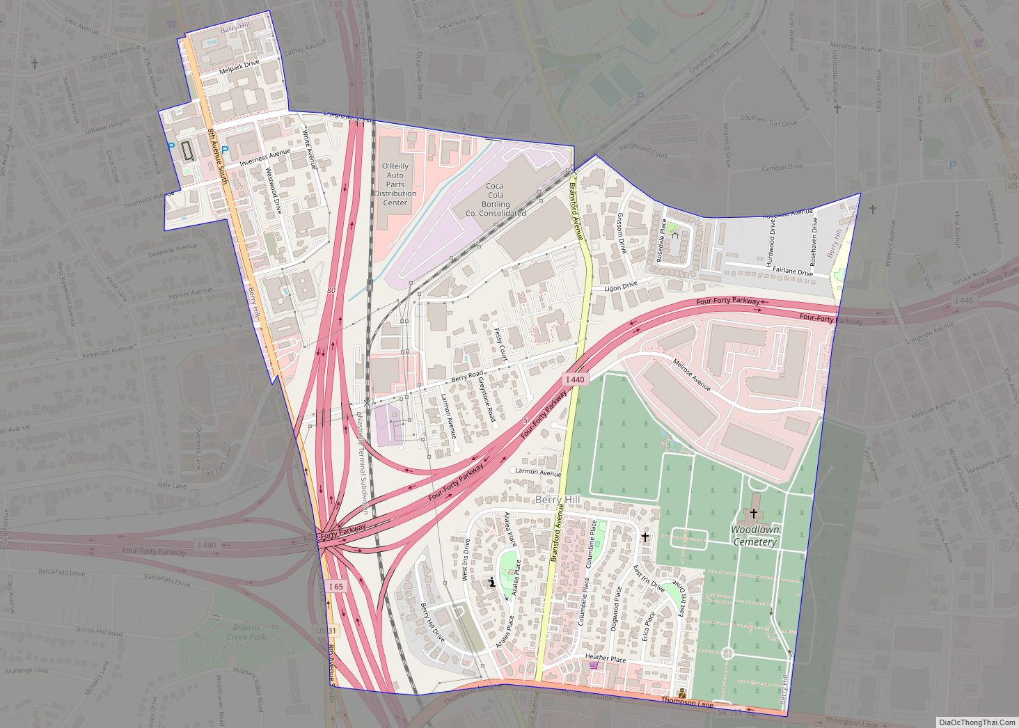
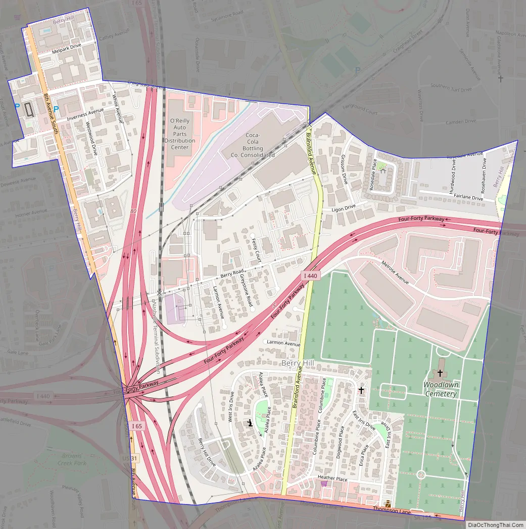
Berry Hill Road Map
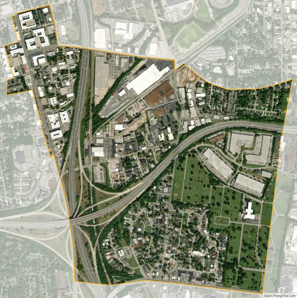
Berry Hill city Satellite Map
Geography
According to the United States Census Bureau, the city has a total area of 0.9 square miles (2.3 km), all land.
See also
Map of Tennessee State and its subdivision:- Anderson
- Bedford
- Benton
- Bledsoe
- Blount
- Bradley
- Campbell
- Cannon
- Carroll
- Carter
- Cheatham
- Chester
- Claiborne
- Clay
- Cocke
- Coffee
- Crockett
- Cumberland
- Davidson
- Decatur
- DeKalb
- Dickson
- Dyer
- Fayette
- Fentress
- Franklin
- Gibson
- Giles
- Grainger
- Greene
- Grundy
- Hamblen
- Hamilton
- Hancock
- Hardeman
- Hardin
- Hawkins
- Haywood
- Henderson
- Henry
- Hickman
- Houston
- Humphreys
- Jackson
- Jefferson
- Johnson
- Knox
- Lake
- Lauderdale
- Lawrence
- Lewis
- Lincoln
- Loudon
- Macon
- Madison
- Marion
- Marshall
- Maury
- McMinn
- McNairy
- Meigs
- Monroe
- Montgomery
- Moore
- Morgan
- Obion
- Overton
- Perry
- Pickett
- Polk
- Putnam
- Rhea
- Roane
- Robertson
- Rutherford
- Scott
- Sequatchie
- Sevier
- Shelby
- Smith
- Stewart
- Sullivan
- Sumner
- Tipton
- Trousdale
- Unicoi
- Union
- Van Buren
- Warren
- Washington
- Wayne
- Weakley
- White
- Williamson
- Wilson
- Alabama
- Alaska
- Arizona
- Arkansas
- California
- Colorado
- Connecticut
- Delaware
- District of Columbia
- Florida
- Georgia
- Hawaii
- Idaho
- Illinois
- Indiana
- Iowa
- Kansas
- Kentucky
- Louisiana
- Maine
- Maryland
- Massachusetts
- Michigan
- Minnesota
- Mississippi
- Missouri
- Montana
- Nebraska
- Nevada
- New Hampshire
- New Jersey
- New Mexico
- New York
- North Carolina
- North Dakota
- Ohio
- Oklahoma
- Oregon
- Pennsylvania
- Rhode Island
- South Carolina
- South Dakota
- Tennessee
- Texas
- Utah
- Vermont
- Virginia
- Washington
- West Virginia
- Wisconsin
- Wyoming