Gleason is a town in Weakley County, Tennessee, United States. The population was 1,445 at the 2010 census. The city also holds the annual Tater Town Parade and festival in the fall, and the Hometown Christmas event. The Ladies High School basketball team, the Lady Bulldogs, won the State Championship in 1992, 1999 and 2007.
Gleason is a generally conservative town with conservative values, but other than political opinions few things are important to residents: girls’ basketball, Dollar General, and fund raisers. Throughout the year, several fund raisers are held, with notable ones being the football team’s annual Coca-Cola fund raiser, the Beta Club’s annual Gleason apparel fund raiser, and the softball team’s annual Krispy Kreme fund raiser.
| Name: | Gleason town |
|---|---|
| LSAD Code: | 43 |
| LSAD Description: | town (suffix) |
| State: | Tennessee |
| County: | Weakley County |
| Elevation: | 407 ft (124 m) |
| Total Area: | 2.24 sq mi (5.81 km²) |
| Land Area: | 2.24 sq mi (5.81 km²) |
| Water Area: | 0.00 sq mi (0.00 km²) |
| Total Population: | 1,369 |
| Population Density: | 610.34/sq mi (235.64/km²) |
| ZIP code: | 38229 |
| Area code: | 731 |
| FIPS code: | 4729300 |
| GNISfeature ID: | 1303460 |
| Website: | www.gleasononline.com |
Online Interactive Map
Click on ![]() to view map in "full screen" mode.
to view map in "full screen" mode.
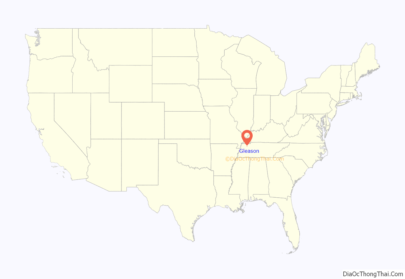
Gleason location map. Where is Gleason town?
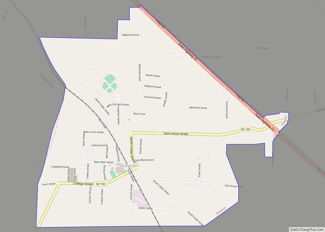
Gleason Road Map
Gleason city Satellite Map
Geography
Gleason is located at 36°12′56″N 88°36′44″W / 36.21556°N 88.61222°W / 36.21556; -88.61222 (36.215641, -88.612114).
According to the United States Census Bureau, the town has a total area of 2.3 square miles (6.0 km), all land.
See also
Map of Tennessee State and its subdivision:- Anderson
- Bedford
- Benton
- Bledsoe
- Blount
- Bradley
- Campbell
- Cannon
- Carroll
- Carter
- Cheatham
- Chester
- Claiborne
- Clay
- Cocke
- Coffee
- Crockett
- Cumberland
- Davidson
- Decatur
- DeKalb
- Dickson
- Dyer
- Fayette
- Fentress
- Franklin
- Gibson
- Giles
- Grainger
- Greene
- Grundy
- Hamblen
- Hamilton
- Hancock
- Hardeman
- Hardin
- Hawkins
- Haywood
- Henderson
- Henry
- Hickman
- Houston
- Humphreys
- Jackson
- Jefferson
- Johnson
- Knox
- Lake
- Lauderdale
- Lawrence
- Lewis
- Lincoln
- Loudon
- Macon
- Madison
- Marion
- Marshall
- Maury
- McMinn
- McNairy
- Meigs
- Monroe
- Montgomery
- Moore
- Morgan
- Obion
- Overton
- Perry
- Pickett
- Polk
- Putnam
- Rhea
- Roane
- Robertson
- Rutherford
- Scott
- Sequatchie
- Sevier
- Shelby
- Smith
- Stewart
- Sullivan
- Sumner
- Tipton
- Trousdale
- Unicoi
- Union
- Van Buren
- Warren
- Washington
- Wayne
- Weakley
- White
- Williamson
- Wilson
- Alabama
- Alaska
- Arizona
- Arkansas
- California
- Colorado
- Connecticut
- Delaware
- District of Columbia
- Florida
- Georgia
- Hawaii
- Idaho
- Illinois
- Indiana
- Iowa
- Kansas
- Kentucky
- Louisiana
- Maine
- Maryland
- Massachusetts
- Michigan
- Minnesota
- Mississippi
- Missouri
- Montana
- Nebraska
- Nevada
- New Hampshire
- New Jersey
- New Mexico
- New York
- North Carolina
- North Dakota
- Ohio
- Oklahoma
- Oregon
- Pennsylvania
- Rhode Island
- South Carolina
- South Dakota
- Tennessee
- Texas
- Utah
- Vermont
- Virginia
- Washington
- West Virginia
- Wisconsin
- Wyoming
