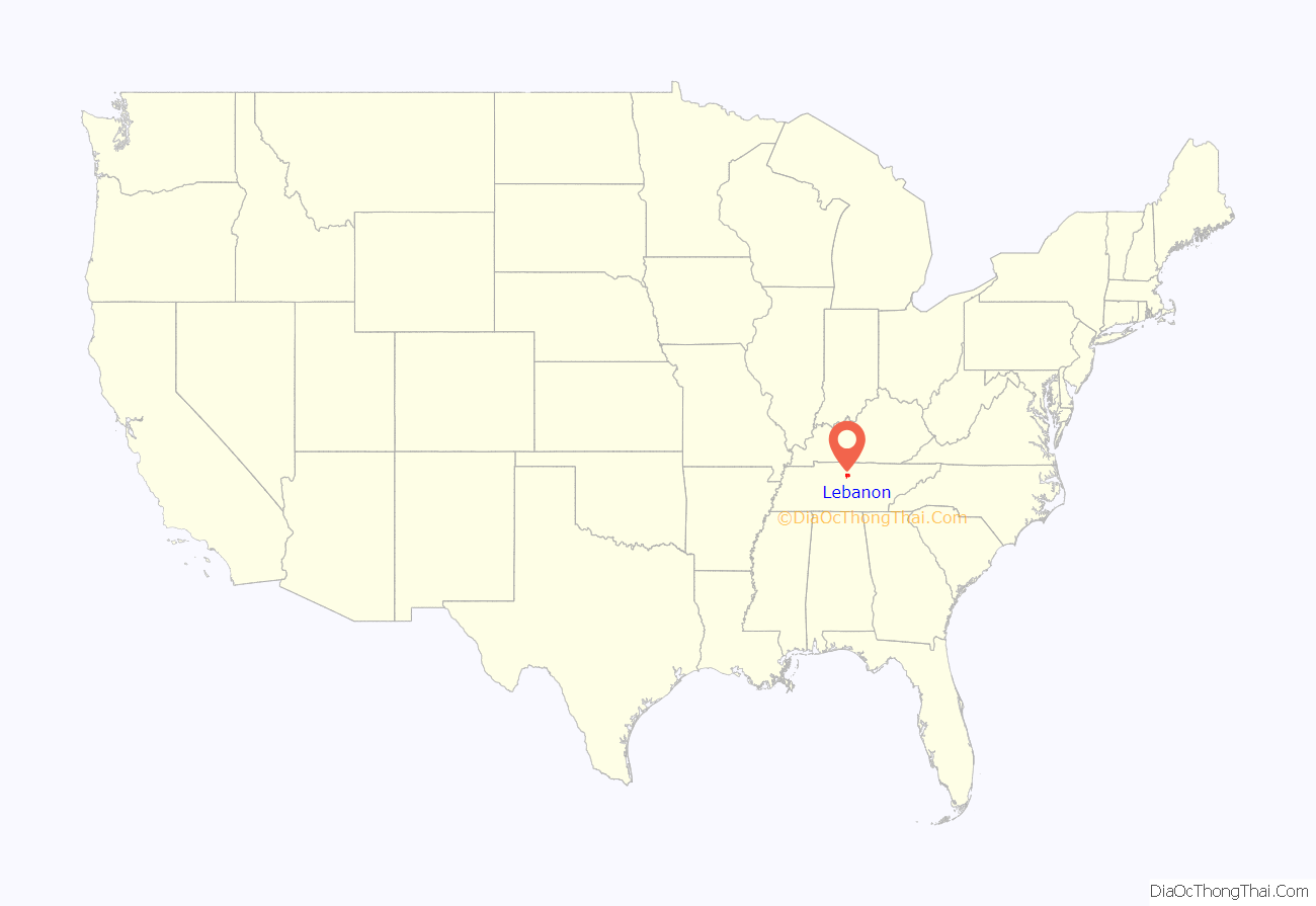
Lebanon /ˈlɛbnən/ is the county seat of Wilson County, Tennessee, United States. The population was 38,431 at the 2020 census. Lebanon is located in Middle Tennessee, approximately 25 miles (40 km) east of downtown Nashville. Lebanon is part of the Nashville Metropolitan Statistical Area.
| Name: | Lebanon city |
|---|---|
| LSAD Code: | 25 |
| LSAD Description: | city (suffix) |
| State: | Tennessee |
| County: | Wilson County |
| Incorporated: | 1801 |
| Elevation: | 528 ft (161 m) |
| Total Area: | 40.08 sq mi (103.80 km²) |
| Land Area: | 40.07 sq mi (103.79 km²) |
| Water Area: | 0.00 sq mi (0.01 km²) |
| Total Population: | 38,431 |
| Population Density: | 959.02/sq mi (370.28/km²) |
| ZIP code: | 37087, 37088, 37090 |
| Area code: | 615 |
| FIPS code: | 4741520 |
| GNISfeature ID: | 1290901 |
Online Interactive Map
Click on ![]() to view map in "full screen" mode.
to view map in "full screen" mode.
Lebanon location map. Where is Lebanon city?
History
The city was incorporated in 1801, and was named after the biblical cedars of Lebanon (Cedrus libani). Local residents have called Lebanon “Cedar City”, mostly a reference to the abundance of “cedar” (Juniperus virginiana) trees in the area. The city is home to Cumberland University, a small, private four-year liberal arts institution.
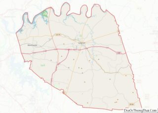
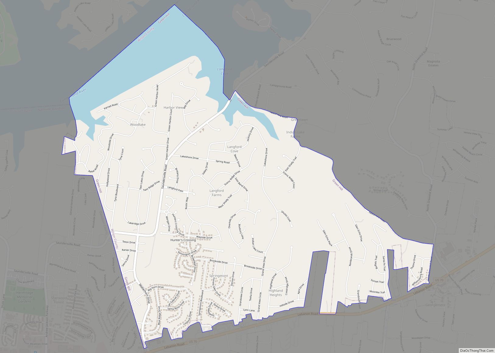
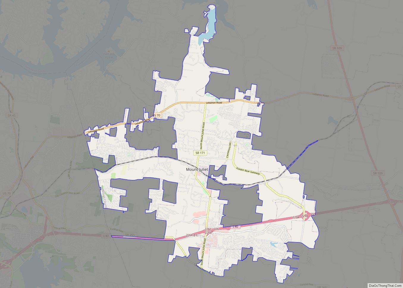
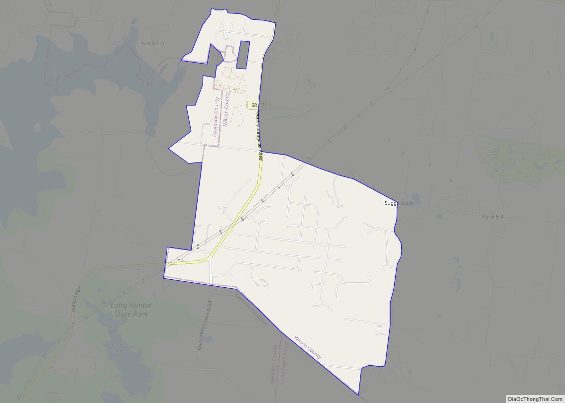
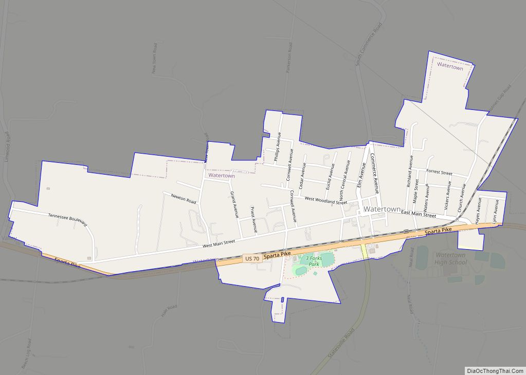
Lebanon Road Map
Lebanon city Satellite Map
Geography
According to the United States Census Bureau, the city has a total area of 38.63 square miles (100.1 km), of which 38.5 square miles (100 km) is land and 0.03% is water. Lebanon is located at Latitude: 36° 12′ 17.40″ N Longitude: -86° 19′ 21.00″ W
Climate
Lebanon has a humid subtropical (Köppen Cfa) climate with mild winters and hot summers. Under the Trewartha climate classification, it is a temperate oceanic (Do) climate due to only 7 months having a mean 50 °F (10 °C) or higher.
See also
Map of Tennessee State and its subdivision:- Anderson
- Bedford
- Benton
- Bledsoe
- Blount
- Bradley
- Campbell
- Cannon
- Carroll
- Carter
- Cheatham
- Chester
- Claiborne
- Clay
- Cocke
- Coffee
- Crockett
- Cumberland
- Davidson
- Decatur
- DeKalb
- Dickson
- Dyer
- Fayette
- Fentress
- Franklin
- Gibson
- Giles
- Grainger
- Greene
- Grundy
- Hamblen
- Hamilton
- Hancock
- Hardeman
- Hardin
- Hawkins
- Haywood
- Henderson
- Henry
- Hickman
- Houston
- Humphreys
- Jackson
- Jefferson
- Johnson
- Knox
- Lake
- Lauderdale
- Lawrence
- Lewis
- Lincoln
- Loudon
- Macon
- Madison
- Marion
- Marshall
- Maury
- McMinn
- McNairy
- Meigs
- Monroe
- Montgomery
- Moore
- Morgan
- Obion
- Overton
- Perry
- Pickett
- Polk
- Putnam
- Rhea
- Roane
- Robertson
- Rutherford
- Scott
- Sequatchie
- Sevier
- Shelby
- Smith
- Stewart
- Sullivan
- Sumner
- Tipton
- Trousdale
- Unicoi
- Union
- Van Buren
- Warren
- Washington
- Wayne
- Weakley
- White
- Williamson
- Wilson
- Alabama
- Alaska
- Arizona
- Arkansas
- California
- Colorado
- Connecticut
- Delaware
- District of Columbia
- Florida
- Georgia
- Hawaii
- Idaho
- Illinois
- Indiana
- Iowa
- Kansas
- Kentucky
- Louisiana
- Maine
- Maryland
- Massachusetts
- Michigan
- Minnesota
- Mississippi
- Missouri
- Montana
- Nebraska
- Nevada
- New Hampshire
- New Jersey
- New Mexico
- New York
- North Carolina
- North Dakota
- Ohio
- Oklahoma
- Oregon
- Pennsylvania
- Rhode Island
- South Carolina
- South Dakota
- Tennessee
- Texas
- Utah
- Vermont
- Virginia
- Washington
- West Virginia
- Wisconsin
- Wyoming
