Lyles is a rural census-designated place and unincorporated community in Hickman County, Tennessee, United States.
| Name: | Lyles CDP |
|---|---|
| LSAD Code: | 57 |
| LSAD Description: | CDP (suffix) |
| State: | Tennessee |
| County: | Hickman County |
| Elevation: | 866 ft (264 m) |
| Total Area: | 2.62 sq mi (6.78 km²) |
| Land Area: | 2.62 sq mi (6.78 km²) |
| Water Area: | 0.00 sq mi (0.00 km²) |
| Total Population: | 763 |
| Population Density: | 291.33/sq mi (112.47/km²) |
| ZIP code: | 37098 |
| Area code: | 931 |
| FIPS code: | 4744360 |
| GNISfeature ID: | 1292325 |
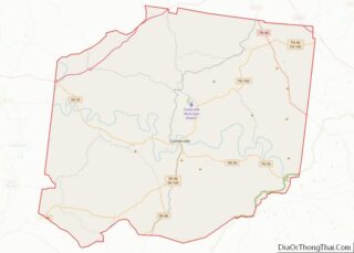
Online Interactive Map
Click on ![]() to view map in "full screen" mode.
to view map in "full screen" mode.
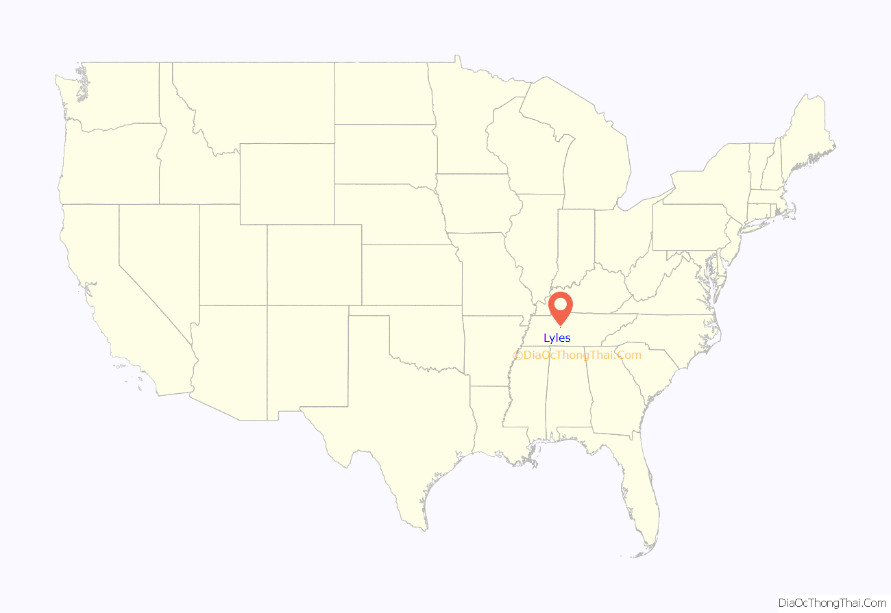
Lyles location map. Where is Lyles CDP?
History
Lyles was originally known as Lyell Station. William, John, and Robert Lyell had much to do with the building of Lyell Station. Their ancestors, Robert Lyell and Deborah Lawrence Lyell, came to Hickman County from Virginia before 1840. Lyles (or Lyell Station) was served by the Nashville, Chattanooga and St. Louis Railway. (See the 1903 diagram showing Lyles. [1]) Although there is no longer any rail service, the tracks remain in Lyles on Google Maps.
It isn’t known when Lyell Station came to be known as Lyles. To this day there are those whose surname is Lyell that are living in Lyles. Ed Lyell Road was named after Ed Lyell who died in 1977. He was a descendant of the original Lyell settlers. Other road names including McGee Road, Tidwell Lane, and Bishop Road bear witness to other early families of Lyles.
Lyles is surrounded by two other small cities that make up the East Hickman area, Wrigley and Bon Aqua, the most famous of the three being Bon Aqua, as Country Music Hall of Famer and music legend Johnny Cash had lived there once.
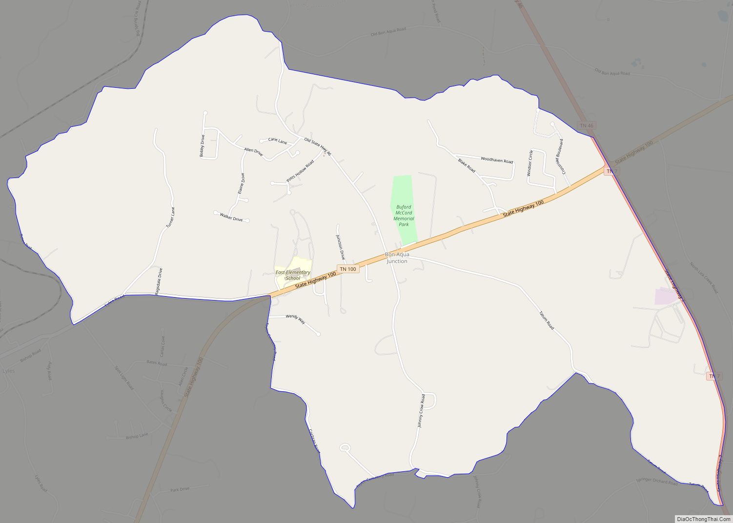
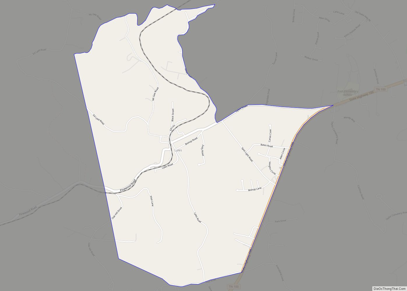
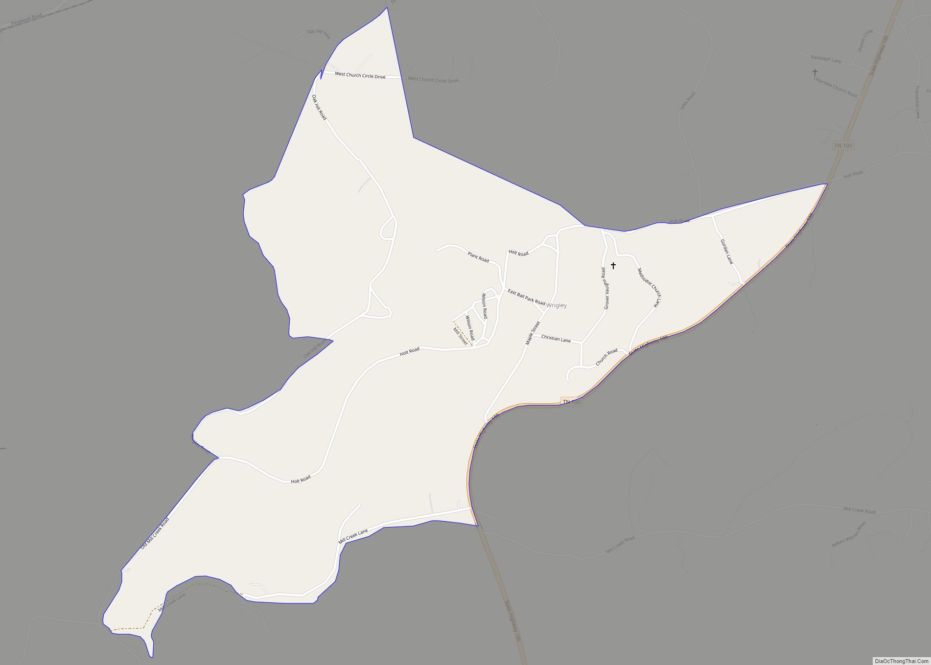
Lyles Road Map
Lyles city Satellite Map
See also
Map of Tennessee State and its subdivision:- Anderson
- Bedford
- Benton
- Bledsoe
- Blount
- Bradley
- Campbell
- Cannon
- Carroll
- Carter
- Cheatham
- Chester
- Claiborne
- Clay
- Cocke
- Coffee
- Crockett
- Cumberland
- Davidson
- Decatur
- DeKalb
- Dickson
- Dyer
- Fayette
- Fentress
- Franklin
- Gibson
- Giles
- Grainger
- Greene
- Grundy
- Hamblen
- Hamilton
- Hancock
- Hardeman
- Hardin
- Hawkins
- Haywood
- Henderson
- Henry
- Hickman
- Houston
- Humphreys
- Jackson
- Jefferson
- Johnson
- Knox
- Lake
- Lauderdale
- Lawrence
- Lewis
- Lincoln
- Loudon
- Macon
- Madison
- Marion
- Marshall
- Maury
- McMinn
- McNairy
- Meigs
- Monroe
- Montgomery
- Moore
- Morgan
- Obion
- Overton
- Perry
- Pickett
- Polk
- Putnam
- Rhea
- Roane
- Robertson
- Rutherford
- Scott
- Sequatchie
- Sevier
- Shelby
- Smith
- Stewart
- Sullivan
- Sumner
- Tipton
- Trousdale
- Unicoi
- Union
- Van Buren
- Warren
- Washington
- Wayne
- Weakley
- White
- Williamson
- Wilson
- Alabama
- Alaska
- Arizona
- Arkansas
- California
- Colorado
- Connecticut
- Delaware
- District of Columbia
- Florida
- Georgia
- Hawaii
- Idaho
- Illinois
- Indiana
- Iowa
- Kansas
- Kentucky
- Louisiana
- Maine
- Maryland
- Massachusetts
- Michigan
- Minnesota
- Mississippi
- Missouri
- Montana
- Nebraska
- Nevada
- New Hampshire
- New Jersey
- New Mexico
- New York
- North Carolina
- North Dakota
- Ohio
- Oklahoma
- Oregon
- Pennsylvania
- Rhode Island
- South Carolina
- South Dakota
- Tennessee
- Texas
- Utah
- Vermont
- Virginia
- Washington
- West Virginia
- Wisconsin
- Wyoming
