Martin is a city in Weakley County, Tennessee, United States. The population was 11,473 according to the 2010 census. The city is the home of the University of Tennessee at Martin.
| Name: | Martin city |
|---|---|
| LSAD Code: | 25 |
| LSAD Description: | city (suffix) |
| State: | Tennessee |
| County: | Weakley County |
| Elevation: | 407 ft (124 m) |
| Total Area: | 12.45 sq mi (32.24 km²) |
| Land Area: | 12.40 sq mi (32.13 km²) |
| Water Area: | 0.04 sq mi (0.11 km²) |
| Total Population: | 10,825 |
| Population Density: | 872.63/sq mi (336.92/km²) |
| ZIP code: | 38237-38238 |
| Area code: | 731 |
| FIPS code: | 4746240 |
| GNISfeature ID: | 1292789 |
| Website: | http://www.cityofmartin.net/ |
Online Interactive Map
Click on ![]() to view map in "full screen" mode.
to view map in "full screen" mode.
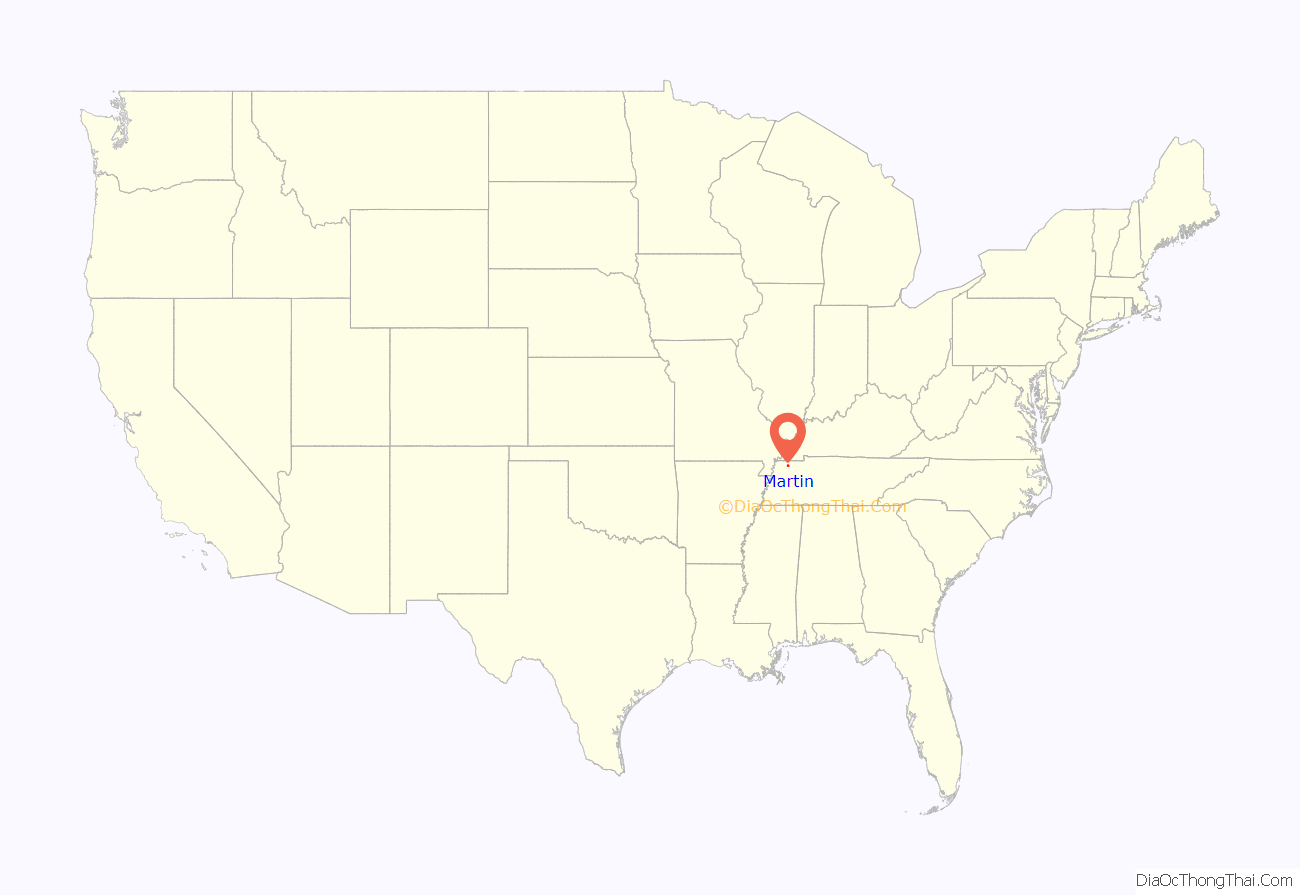
Martin location map. Where is Martin city?
History
Martin is named for Captain William Martin. William Martin was born in Halifax County, Virginia in 1806, and moved to Weakley County, Tennessee with his wife Sarah in 1832. Captain Martin prospered through tobacco farming and began working to establish a railroad connection in what would later become Martin in 1852. It was not until after his death in 1859 that his sons, led primarily by George W. Martin, persuaded the Mississippi Central Railroad to locate a connection with the Nashville and Northwestern Railroad in what would become Martin, Tennessee in 1872.
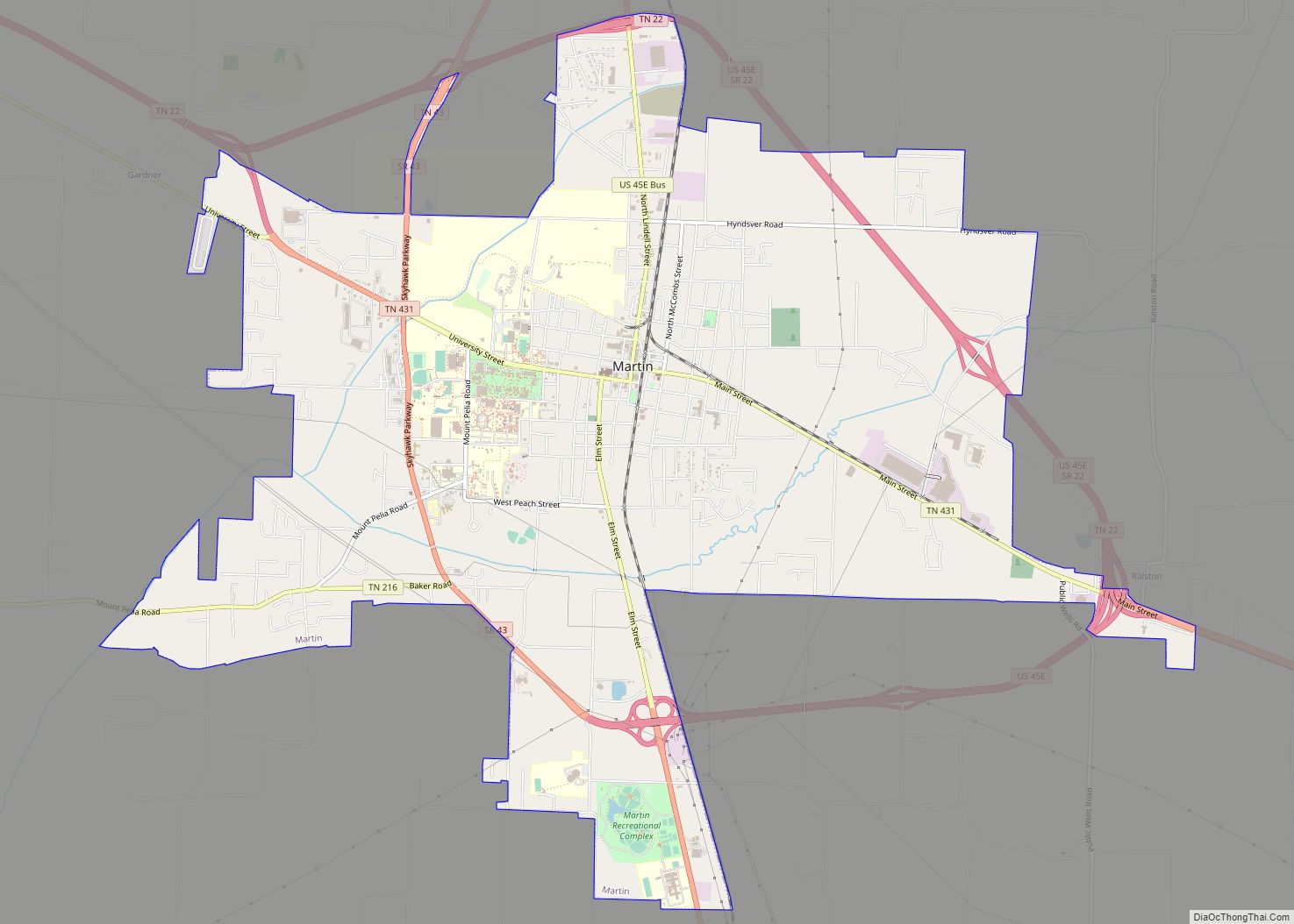
Martin Road Map
Martin city Satellite Map
Geography
Martin is located at 36°20′31″N 88°51′6″W / 36.34194°N 88.85167°W / 36.34194; -88.85167 (36.341836, -88.851647).
According to the United States Census Bureau, the city has a total area of 12.4 square miles (32 km), of which 12.4 square miles (32 km) is land and 0.04 square miles (0.10 km) (0.32%) is water.
Major roads and highways
- U.S. Route 45E (Elm St., Lindell St.)
- State Route 22
- State Route 431 (Main Street, University Street)
- State Route 43 (Skyhawk Parkway)
Climate
See also
Map of Tennessee State and its subdivision:- Anderson
- Bedford
- Benton
- Bledsoe
- Blount
- Bradley
- Campbell
- Cannon
- Carroll
- Carter
- Cheatham
- Chester
- Claiborne
- Clay
- Cocke
- Coffee
- Crockett
- Cumberland
- Davidson
- Decatur
- DeKalb
- Dickson
- Dyer
- Fayette
- Fentress
- Franklin
- Gibson
- Giles
- Grainger
- Greene
- Grundy
- Hamblen
- Hamilton
- Hancock
- Hardeman
- Hardin
- Hawkins
- Haywood
- Henderson
- Henry
- Hickman
- Houston
- Humphreys
- Jackson
- Jefferson
- Johnson
- Knox
- Lake
- Lauderdale
- Lawrence
- Lewis
- Lincoln
- Loudon
- Macon
- Madison
- Marion
- Marshall
- Maury
- McMinn
- McNairy
- Meigs
- Monroe
- Montgomery
- Moore
- Morgan
- Obion
- Overton
- Perry
- Pickett
- Polk
- Putnam
- Rhea
- Roane
- Robertson
- Rutherford
- Scott
- Sequatchie
- Sevier
- Shelby
- Smith
- Stewart
- Sullivan
- Sumner
- Tipton
- Trousdale
- Unicoi
- Union
- Van Buren
- Warren
- Washington
- Wayne
- Weakley
- White
- Williamson
- Wilson
- Alabama
- Alaska
- Arizona
- Arkansas
- California
- Colorado
- Connecticut
- Delaware
- District of Columbia
- Florida
- Georgia
- Hawaii
- Idaho
- Illinois
- Indiana
- Iowa
- Kansas
- Kentucky
- Louisiana
- Maine
- Maryland
- Massachusetts
- Michigan
- Minnesota
- Mississippi
- Missouri
- Montana
- Nebraska
- Nevada
- New Hampshire
- New Jersey
- New Mexico
- New York
- North Carolina
- North Dakota
- Ohio
- Oklahoma
- Oregon
- Pennsylvania
- Rhode Island
- South Carolina
- South Dakota
- Tennessee
- Texas
- Utah
- Vermont
- Virginia
- Washington
- West Virginia
- Wisconsin
- Wyoming
