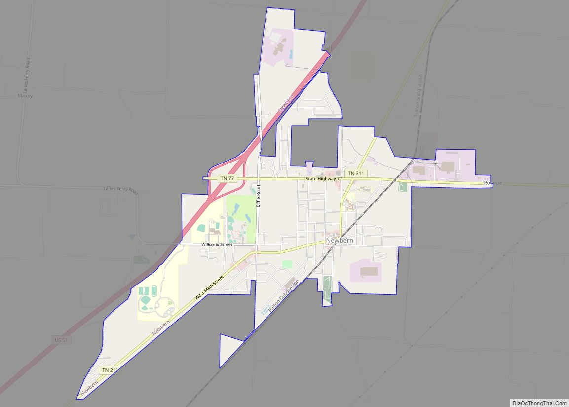
Newbern is a town in Dyer County, Tennessee. As of the 2010 census, the town population was 3,313.
| Name: | Newbern town |
|---|---|
| LSAD Code: | 43 |
| LSAD Description: | town (suffix) |
| State: | Tennessee |
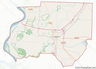
| County: | Dyer County |
| Incorporated: | 1857-1858 |
| Elevation: | 377 ft (115 m) |
| Total Area: | 4.53 sq mi (11.74 km²) |
| Land Area: | 4.53 sq mi (11.74 km²) |
| Water Area: | 0.00 sq mi (0.00 km²) |
| Total Population: | 3,349 |
| Population Density: | 738.64/sq mi (285.18/km²) |
| ZIP code: | 38059 |
| Area code: | 731 |
| FIPS code: | 4752400 |
| GNISfeature ID: | 1295678 |
| Website: | http://www.cityofnewbern.org/ |
Online Interactive Map
Click on ![]() to view map in "full screen" mode.
to view map in "full screen" mode.
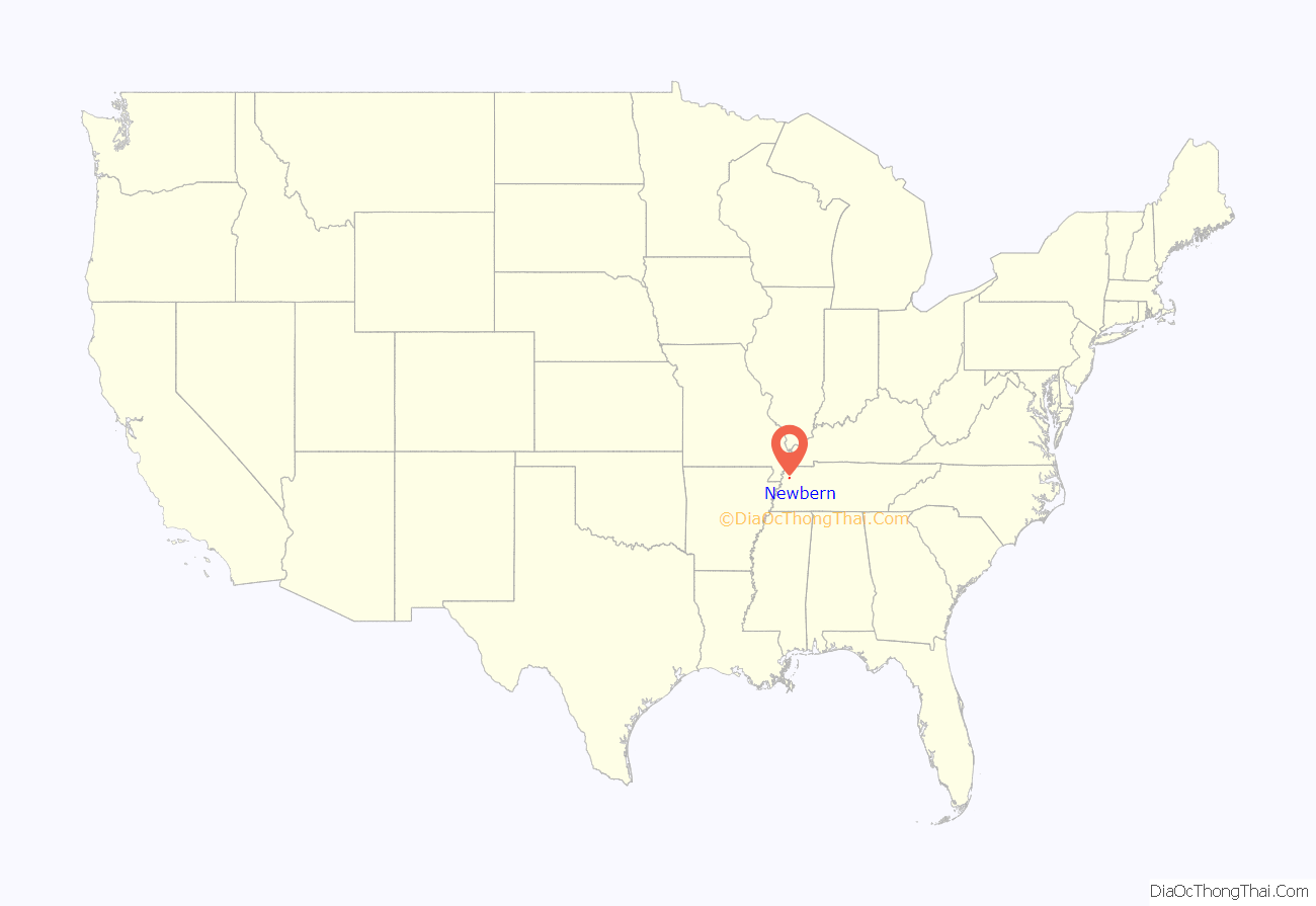
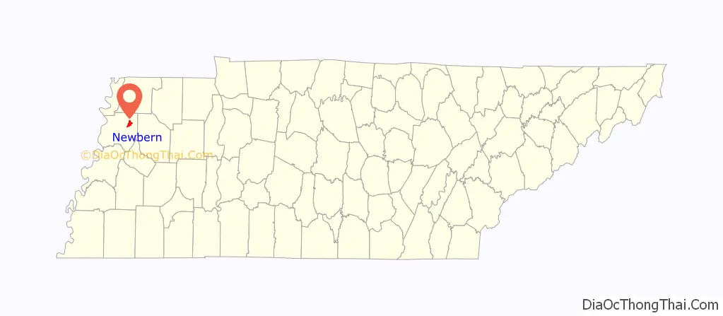
Newbern location map. Where is Newbern town?
History
In October 1902, Garfield Burley and Curtis Brown were lynched in downtown Newbern. Burley and Brown were tied together and hung from a telephone pole within sight of the town’s train depot. The lynching is notable due to the efforts of several local community leaders to prevent it.
On April 2, 2006, sixteen people were killed in Newbern when it and its surrounding communities were directly hit by an F3 tornado. The storm caused nearly $15 million in damages.
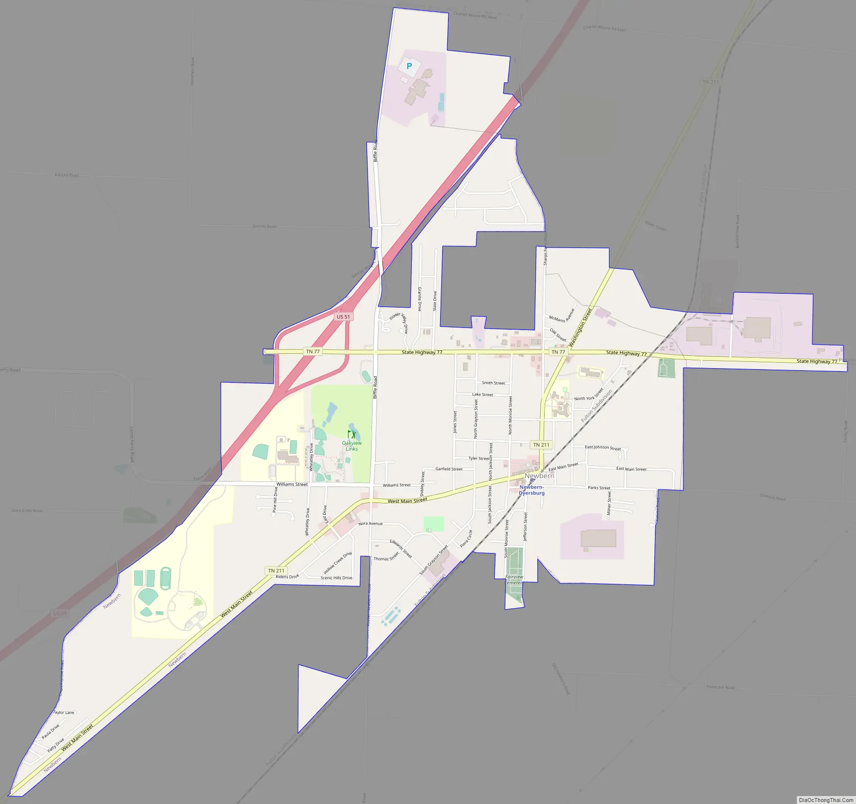
Newbern Road Map
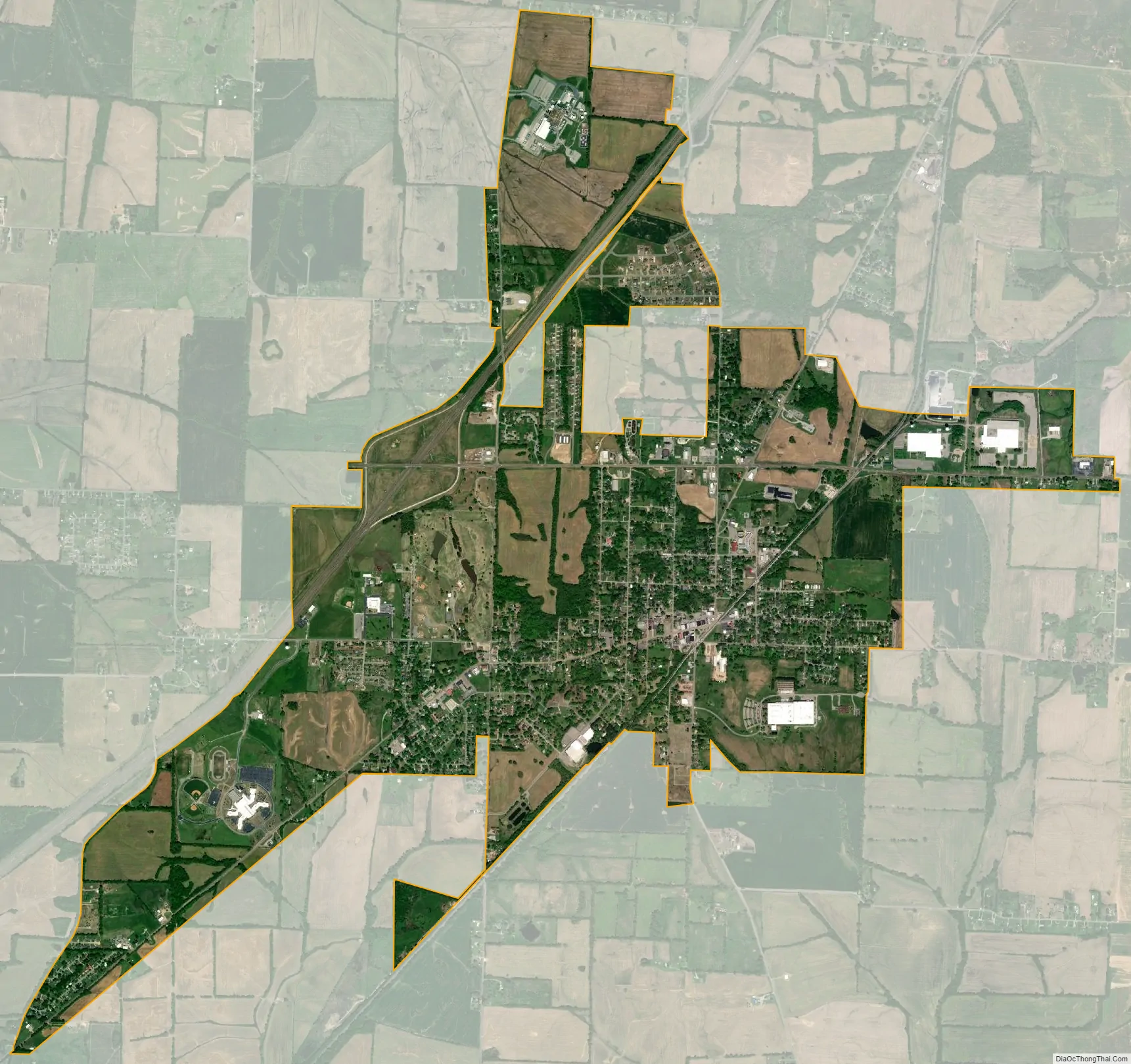
Newbern city Satellite Map
Geography
Newbern is located at 36°6′59″N 89°16′5″W / 36.11639°N 89.26806°W / 36.11639; -89.26806 (36.116460, -89.268099).
According to the United States Census Bureau, the town has a total area of 4.8 square miles (12 km), all land.
Climate
The climate in this area is characterized by hot, humid summers and generally mild to cool winters. According to the Köppen Climate Classification system, Newbern has a humid subtropical climate, abbreviated “Cfa” on climate maps.
See also
Map of Tennessee State and its subdivision:- Anderson
- Bedford
- Benton
- Bledsoe
- Blount
- Bradley
- Campbell
- Cannon
- Carroll
- Carter
- Cheatham
- Chester
- Claiborne
- Clay
- Cocke
- Coffee
- Crockett
- Cumberland
- Davidson
- Decatur
- DeKalb
- Dickson
- Dyer
- Fayette
- Fentress
- Franklin
- Gibson
- Giles
- Grainger
- Greene
- Grundy
- Hamblen
- Hamilton
- Hancock
- Hardeman
- Hardin
- Hawkins
- Haywood
- Henderson
- Henry
- Hickman
- Houston
- Humphreys
- Jackson
- Jefferson
- Johnson
- Knox
- Lake
- Lauderdale
- Lawrence
- Lewis
- Lincoln
- Loudon
- Macon
- Madison
- Marion
- Marshall
- Maury
- McMinn
- McNairy
- Meigs
- Monroe
- Montgomery
- Moore
- Morgan
- Obion
- Overton
- Perry
- Pickett
- Polk
- Putnam
- Rhea
- Roane
- Robertson
- Rutherford
- Scott
- Sequatchie
- Sevier
- Shelby
- Smith
- Stewart
- Sullivan
- Sumner
- Tipton
- Trousdale
- Unicoi
- Union
- Van Buren
- Warren
- Washington
- Wayne
- Weakley
- White
- Williamson
- Wilson
- Alabama
- Alaska
- Arizona
- Arkansas
- California
- Colorado
- Connecticut
- Delaware
- District of Columbia
- Florida
- Georgia
- Hawaii
- Idaho
- Illinois
- Indiana
- Iowa
- Kansas
- Kentucky
- Louisiana
- Maine
- Maryland
- Massachusetts
- Michigan
- Minnesota
- Mississippi
- Missouri
- Montana
- Nebraska
- Nevada
- New Hampshire
- New Jersey
- New Mexico
- New York
- North Carolina
- North Dakota
- Ohio
- Oklahoma
- Oregon
- Pennsylvania
- Rhode Island
- South Carolina
- South Dakota
- Tennessee
- Texas
- Utah
- Vermont
- Virginia
- Washington
- West Virginia
- Wisconsin
- Wyoming