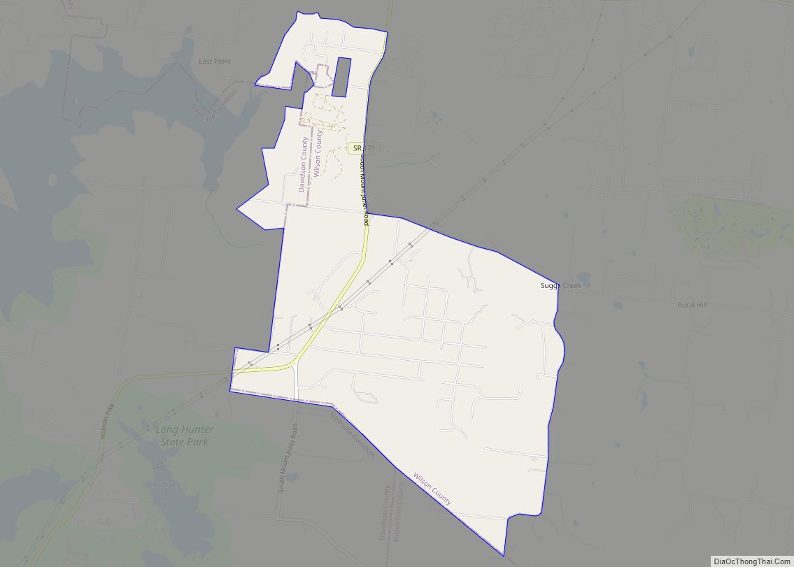
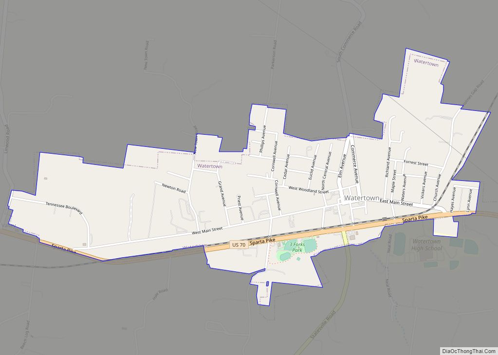
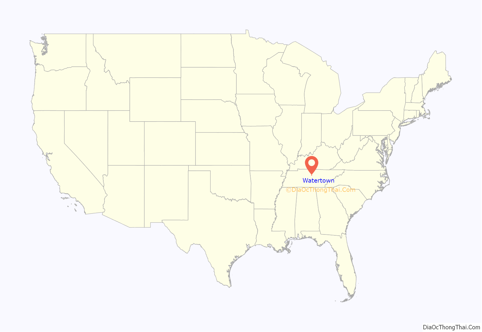
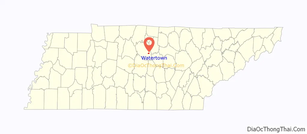
Watertown is a town located in Wilson County, Tennessee. The population was 1,477 at the 2010 census .The population then raised to 1,556 after the 2020 census. It is located southeast of Lebanon, and northwest of Smithville.
| Name: | Watertown city |
|---|---|
| LSAD Code: | 25 |
| LSAD Description: | city (suffix) |
| State: | Tennessee |
| County: | Wilson County |
| Incorporated: | 1905 |
| Elevation: | 653 ft (199 m) |
| Total Area: | 1.44 sq mi (3.72 km²) |
| Land Area: | 1.44 sq mi (3.72 km²) |
| Water Area: | 0.00 sq mi (0.00 km²) |
| Total Population: | 1,553 |
| Population Density: | 1,081.48/sq mi (417.52/km²) |
| ZIP code: | 37184 |
| Area code: | 615 |
| FIPS code: | 4778320 |
| GNISfeature ID: | 1304411 |
| Website: | www.watertowntn.com |
Online Interactive Map
Click on ![]() to view map in "full screen" mode.
to view map in "full screen" mode.
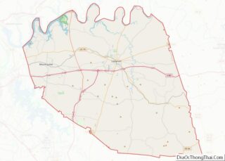
Watertown location map. Where is Watertown city?
History
Prior to the town’s establishment, the land was a Revolutionary War grant to Colonel Archibald Lytle and his brother William.
Circa 1790, the grandparents of Watertown’s founder, Wilson L. Waters, moved into the area. In 1845, the post office moved from nearby Three Forks to Wilson’s store. Waters expanded his operations with a sawmill, gristmill and blacksmith shop. Waters’ 400-acre (1.6 km) farm eventually became Watertown.
The Nashville and Knoxville Railroad built a depot in Watertown in 1885, making it the hub of business in the area. The increased business led to a doubling of the village’s size.
In 1903, a fire swept through the wood structures of the village, destroying many businesses. During the recovery period following the fire, a town square surrounded by brick building was laid out, creating the core of the current city of Watertown.
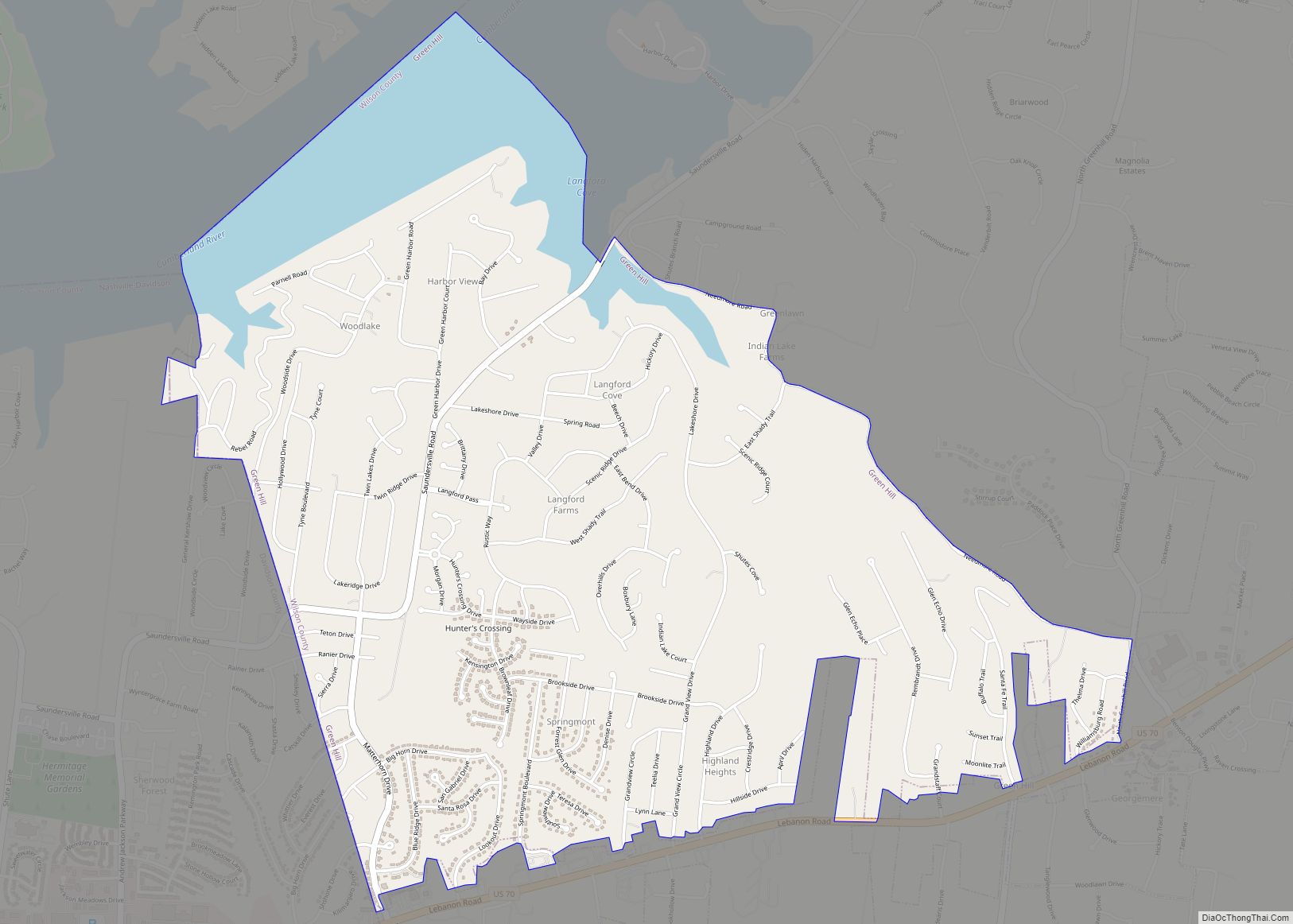
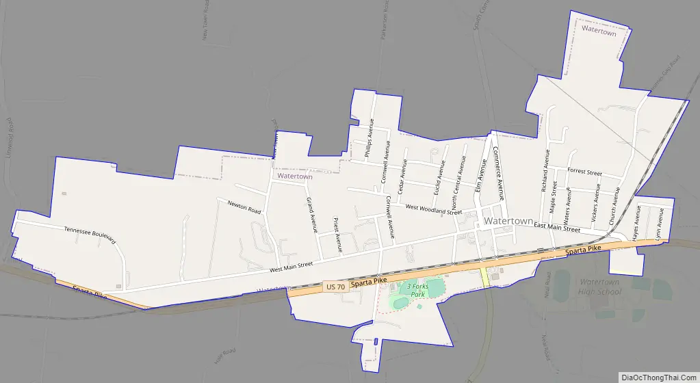
Watertown Road Map
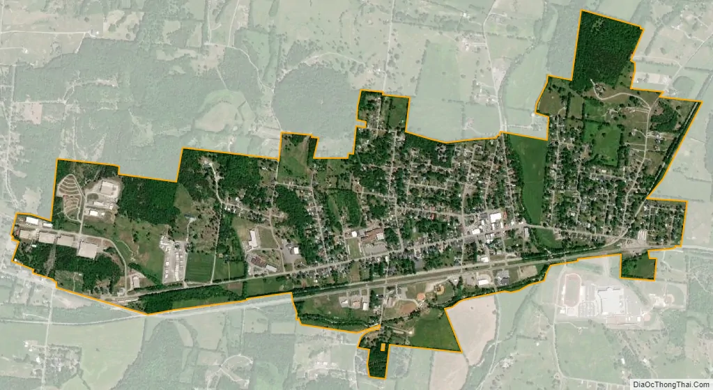
Watertown city Satellite Map
Geography
Watertown is located at 36°06′00″N 86°08′14″W / 36.100039°N 86.137102°W / 36.100039; -86.137102 (36.100039, -86.137102).
According to the United States Census Bureau, the city has a total area of 1.2 square miles (3.1 km), all land.
See also
Map of Tennessee State and its subdivision:- Anderson
- Bedford
- Benton
- Bledsoe
- Blount
- Bradley
- Campbell
- Cannon
- Carroll
- Carter
- Cheatham
- Chester
- Claiborne
- Clay
- Cocke
- Coffee
- Crockett
- Cumberland
- Davidson
- Decatur
- DeKalb
- Dickson
- Dyer
- Fayette
- Fentress
- Franklin
- Gibson
- Giles
- Grainger
- Greene
- Grundy
- Hamblen
- Hamilton
- Hancock
- Hardeman
- Hardin
- Hawkins
- Haywood
- Henderson
- Henry
- Hickman
- Houston
- Humphreys
- Jackson
- Jefferson
- Johnson
- Knox
- Lake
- Lauderdale
- Lawrence
- Lewis
- Lincoln
- Loudon
- Macon
- Madison
- Marion
- Marshall
- Maury
- McMinn
- McNairy
- Meigs
- Monroe
- Montgomery
- Moore
- Morgan
- Obion
- Overton
- Perry
- Pickett
- Polk
- Putnam
- Rhea
- Roane
- Robertson
- Rutherford
- Scott
- Sequatchie
- Sevier
- Shelby
- Smith
- Stewart
- Sullivan
- Sumner
- Tipton
- Trousdale
- Unicoi
- Union
- Van Buren
- Warren
- Washington
- Wayne
- Weakley
- White
- Williamson
- Wilson
- Alabama
- Alaska
- Arizona
- Arkansas
- California
- Colorado
- Connecticut
- Delaware
- District of Columbia
- Florida
- Georgia
- Hawaii
- Idaho
- Illinois
- Indiana
- Iowa
- Kansas
- Kentucky
- Louisiana
- Maine
- Maryland
- Massachusetts
- Michigan
- Minnesota
- Mississippi
- Missouri
- Montana
- Nebraska
- Nevada
- New Hampshire
- New Jersey
- New Mexico
- New York
- North Carolina
- North Dakota
- Ohio
- Oklahoma
- Oregon
- Pennsylvania
- Rhode Island
- South Carolina
- South Dakota
- Tennessee
- Texas
- Utah
- Vermont
- Virginia
- Washington
- West Virginia
- Wisconsin
- Wyoming