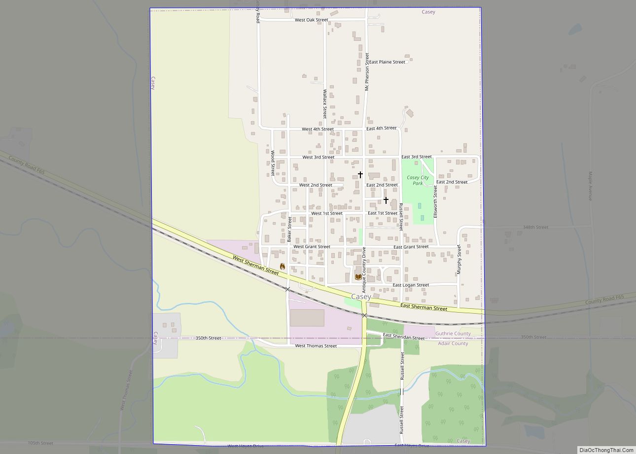
Casey is a city in Adair and Guthrie counties in the U.S. state of Iowa. The population was 387 at the 2020 census.
The Guthrie County portion of Casey is part of the Des Moines – West Des Moines Metropolitan Statistical Area.
| Name: | Casey city |
|---|---|
| LSAD Code: | 25 |
| LSAD Description: | city (suffix) |
| State: | Iowa |
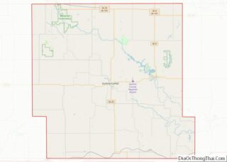
| County: | Adair County, Guthrie County |
| Elevation: | 1,237 ft (377 m) |
| Total Area: | 0.74 sq mi (1.91 km²) |
| Land Area: | 0.74 sq mi (1.91 km²) |
| Water Area: | 0.00 sq mi (0.00 km²) |
| Total Population: | 387 |
| Population Density: | 523.68/sq mi (202.17/km²) |
| ZIP code: | 50048 |
| Area code: | 641 |
| FIPS code: | 1911395 |
| GNISfeature ID: | 0455198 |
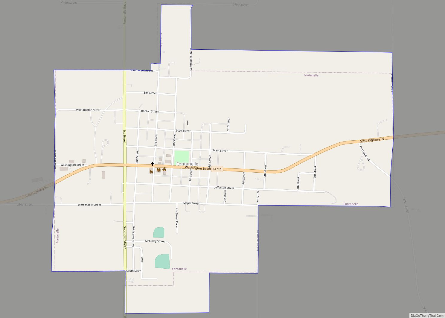
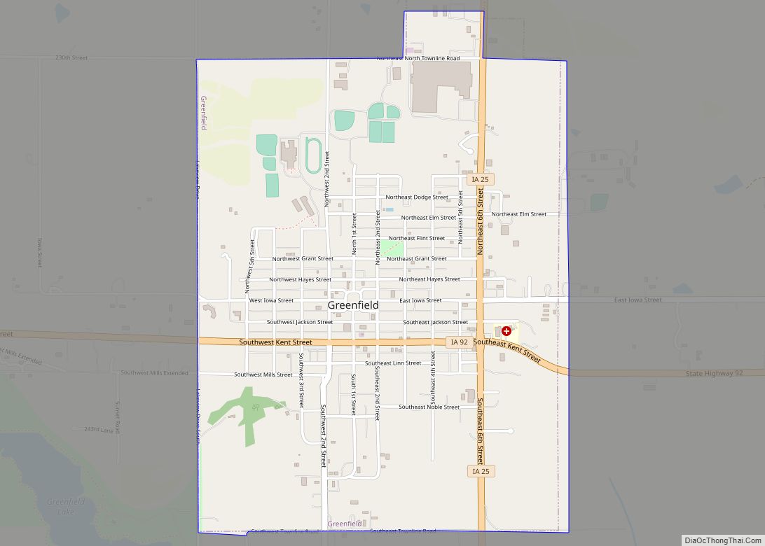
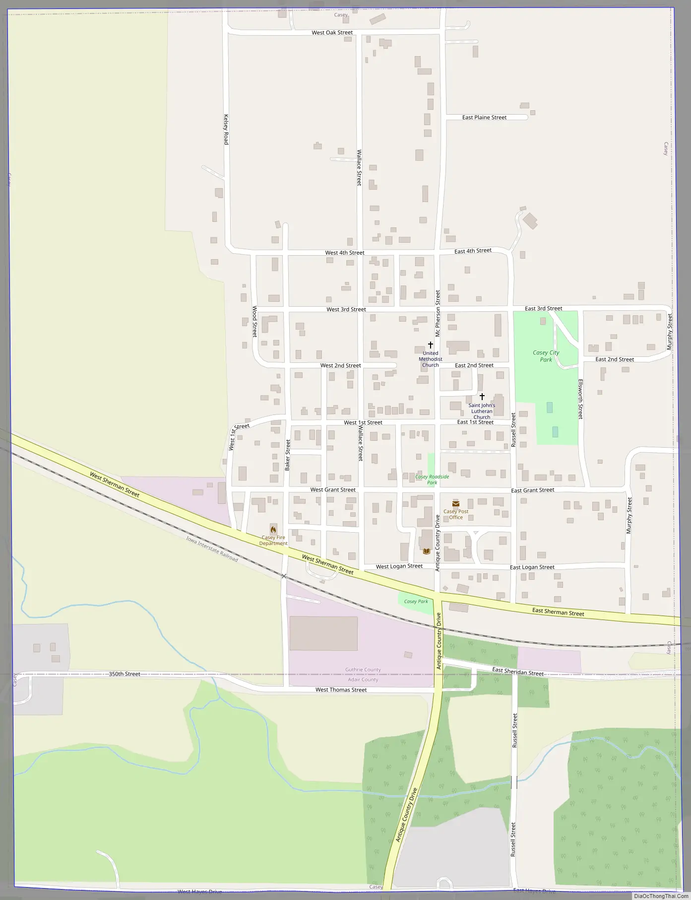
Online Interactive Map
Click on ![]() to view map in "full screen" mode.
to view map in "full screen" mode.
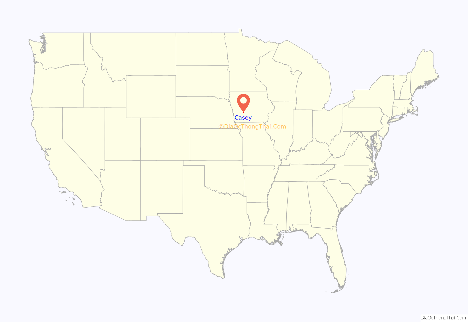
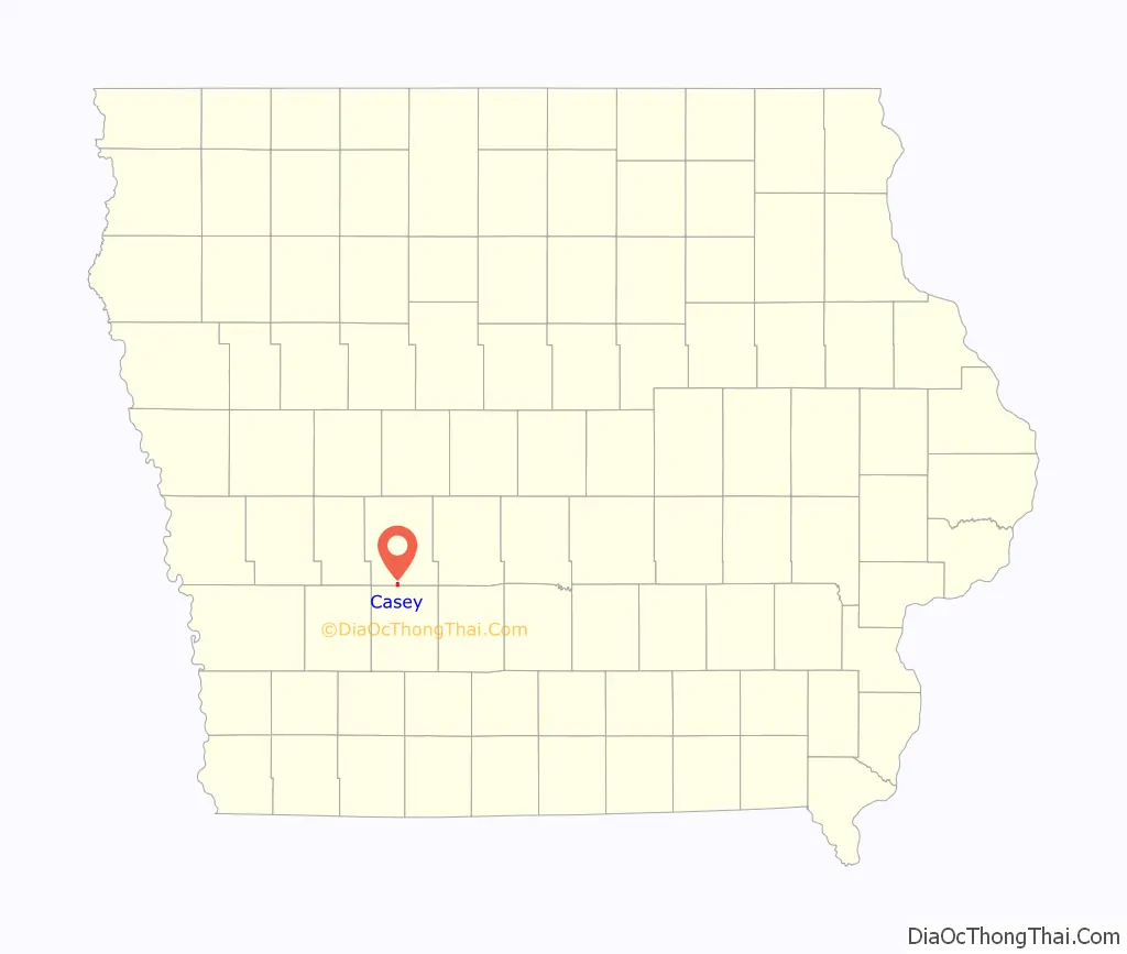
Casey location map. Where is Casey city?
History
Casey was platted in 1869. The community has the name of a railroad man. The firm John and James Casey, Contractors, from Erie, Pennsylvania, under John F. Tracy, President of the Chicago, Rock Island and Pacific, built the railroad across Iowa, and through Casey, from 1866 to 1869. Most of the streets in the town are named for Union Army generals in the American Civil War.
In 2015 the City Clerk, Dorothy Dillinger, was indicted for misappropriation of city funds and burning down the city hall. She stole up to $300,000 in city funds and spent it on purchases at Victoria’s Secret and Wal-Mart, among other places. Dillinger pleaded guilty in federal court and received a prison sentence of five years from judge James E. Gritzner. A new city hall and community center, which replaced the one destroyed in an attempt to cover up the embezzlement, had its groundbreaking in 2018. The estimated cost is $1 million. The majority of the building would be dedicated to community center functions.
Casey Road Map
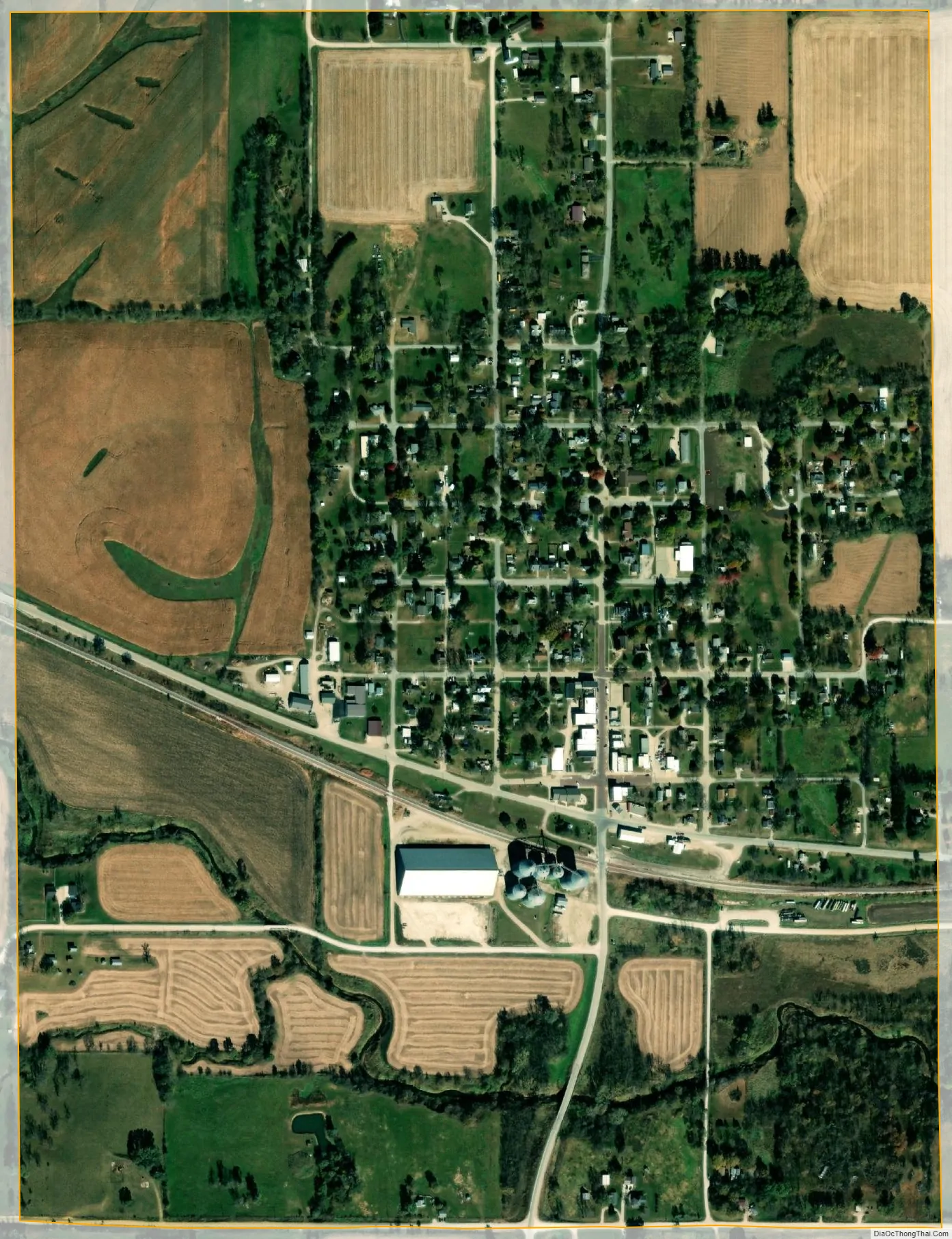
Casey city Satellite Map
Geography
Casey is located at 41°30′22″N 94°31′12″W / 41.50611°N 94.52000°W / 41.50611; -94.52000 (41.506088, -94.520039).
According to the United States Census Bureau, the city has a total area of 0.74 square miles (1.92 km), all land.
See also
Map of Iowa State and its subdivision:- Adair
- Adams
- Allamakee
- Appanoose
- Audubon
- Benton
- Black Hawk
- Boone
- Bremer
- Buchanan
- Buena Vista
- Butler
- Calhoun
- Carroll
- Cass
- Cedar
- Cerro Gordo
- Cherokee
- Chickasaw
- Clarke
- Clay
- Clayton
- Clinton
- Crawford
- Dallas
- Davis
- Decatur
- Delaware
- Des Moines
- Dickinson
- Dubuque
- Emmet
- Fayette
- Floyd
- Franklin
- Fremont
- Greene
- Grundy
- Guthrie
- Hamilton
- Hancock
- Hardin
- Harrison
- Henry
- Howard
- Humboldt
- Ida
- Iowa
- Jackson
- Jasper
- Jefferson
- Johnson
- Jones
- Keokuk
- Kossuth
- Lee
- Linn
- Louisa
- Lucas
- Lyon
- Madison
- Mahaska
- Marion
- Marshall
- Mills
- Mitchell
- Monona
- Monroe
- Montgomery
- Muscatine
- O'Brien
- Osceola
- Page
- Palo Alto
- Plymouth
- Pocahontas
- Polk
- Pottawattamie
- Poweshiek
- Ringgold
- Sac
- Scott
- Shelby
- Sioux
- Story
- Tama
- Taylor
- Union
- Van Buren
- Wapello
- Warren
- Washington
- Wayne
- Webster
- Winnebago
- Winneshiek
- Woodbury
- Worth
- Wright
- Alabama
- Alaska
- Arizona
- Arkansas
- California
- Colorado
- Connecticut
- Delaware
- District of Columbia
- Florida
- Georgia
- Hawaii
- Idaho
- Illinois
- Indiana
- Iowa
- Kansas
- Kentucky
- Louisiana
- Maine
- Maryland
- Massachusetts
- Michigan
- Minnesota
- Mississippi
- Missouri
- Montana
- Nebraska
- Nevada
- New Hampshire
- New Jersey
- New Mexico
- New York
- North Carolina
- North Dakota
- Ohio
- Oklahoma
- Oregon
- Pennsylvania
- Rhode Island
- South Carolina
- South Dakota
- Tennessee
- Texas
- Utah
- Vermont
- Virginia
- Washington
- West Virginia
- Wisconsin
- Wyoming