Dunkerton is a city in Black Hawk County, Iowa, United States. The population was 842 at the time of the 2020 census. It is part of the Waterloo–Cedar Falls Metropolitan Statistical Area.
| Name: | Dunkerton city |
|---|---|
| LSAD Code: | 25 |
| LSAD Description: | city (suffix) |
| State: | Iowa |
| County: | Black Hawk County |
| Elevation: | 955 ft (291 m) |
| Total Area: | 1.14 sq mi (2.95 km²) |
| Land Area: | 1.13 sq mi (2.93 km²) |
| Water Area: | 0.01 sq mi (0.03 km²) |
| Total Population: | 842 |
| Population Density: | 744.47/sq mi (287.44/km²) |
| ZIP code: | 50626 |
| Area code: | 319 |
| FIPS code: | 1922845 |
| GNISfeature ID: | 0456065 |
Online Interactive Map
Click on ![]() to view map in "full screen" mode.
to view map in "full screen" mode.
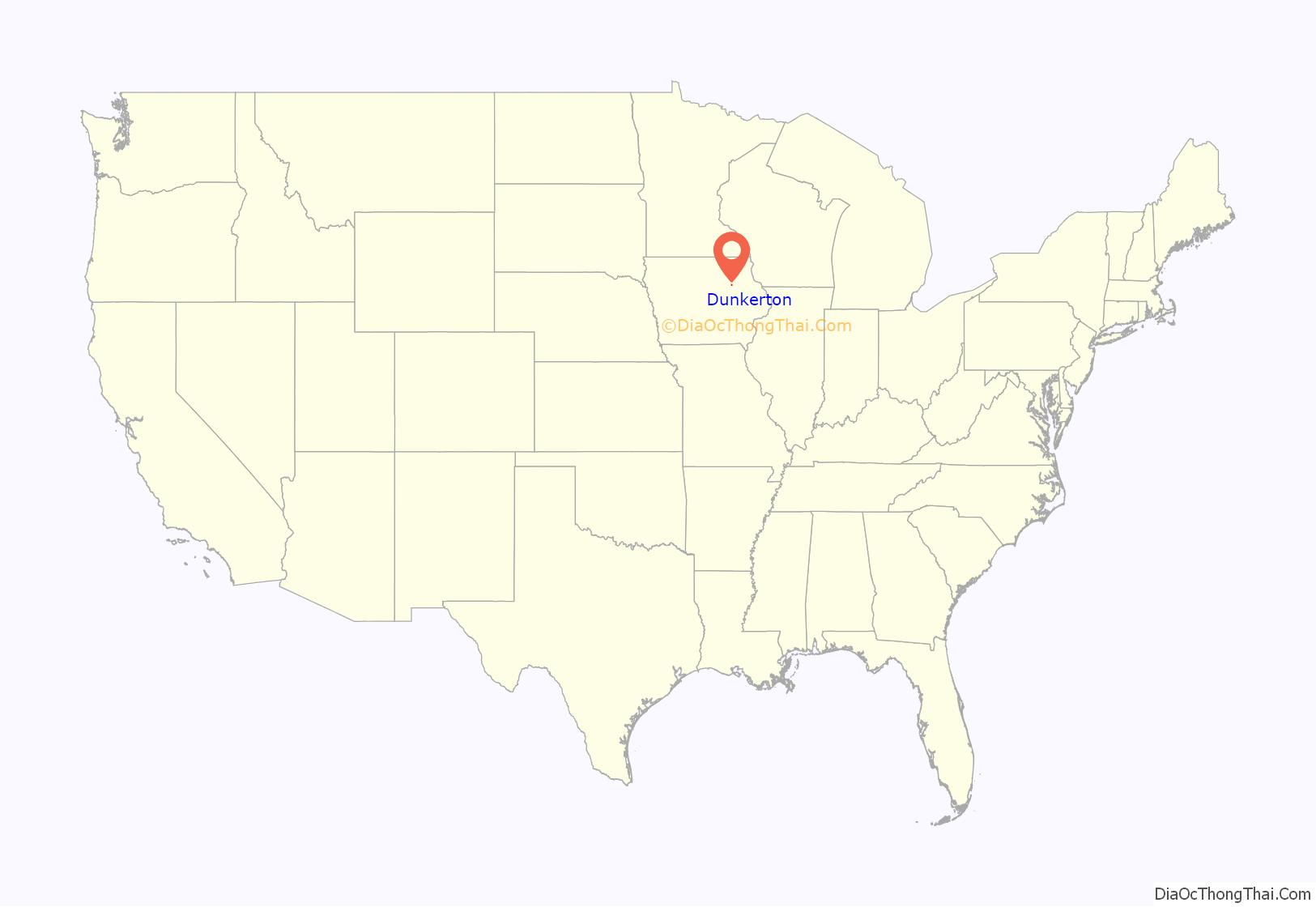
Dunkerton location map. Where is Dunkerton city?
History
In 1853, two brothers, James and John Dunkerton, walked from Dubuque, Iowa, to stake out a claim of land near Lester. This claim became the town known as Lesterton, and later Dunkerton. In 1854, John died and was buried in the small cemetery, which now holds four generations of Dunkertons. James remained and built up his land. On December 25, 1854, he married Christiana Hodges. At 60 years of age, James and his eldest son, sold a portion of their land to the railroad, requesting that the railroad be extended to Iowa. This act enabled the present City of Dunkerton to be established.
Attractions
The city maintains four parks, including Charma Park, Eagle Scout Park, Gazebo Park, and Carol Hauptly Memorial Park, as well as Mixdorf Nature Preserve and the Dunkerton Sportsman’s Club.
The historic Dunkerton Bridge spans Crane Creek, connecting Charma Park to the city. The pedestrian bridge was built in 1909 and is still usable today.
The Dunkerton Veterans Memorial Park on Main Street replaced an earlier hand-painted billboard containing the names of Dunkerton residents who had served in the military. The new monument, built in the early 2000s, allows families to purchase a brick engraved with the name of a veteran and details of their service. As of October 2003, there were 297 such bricks.
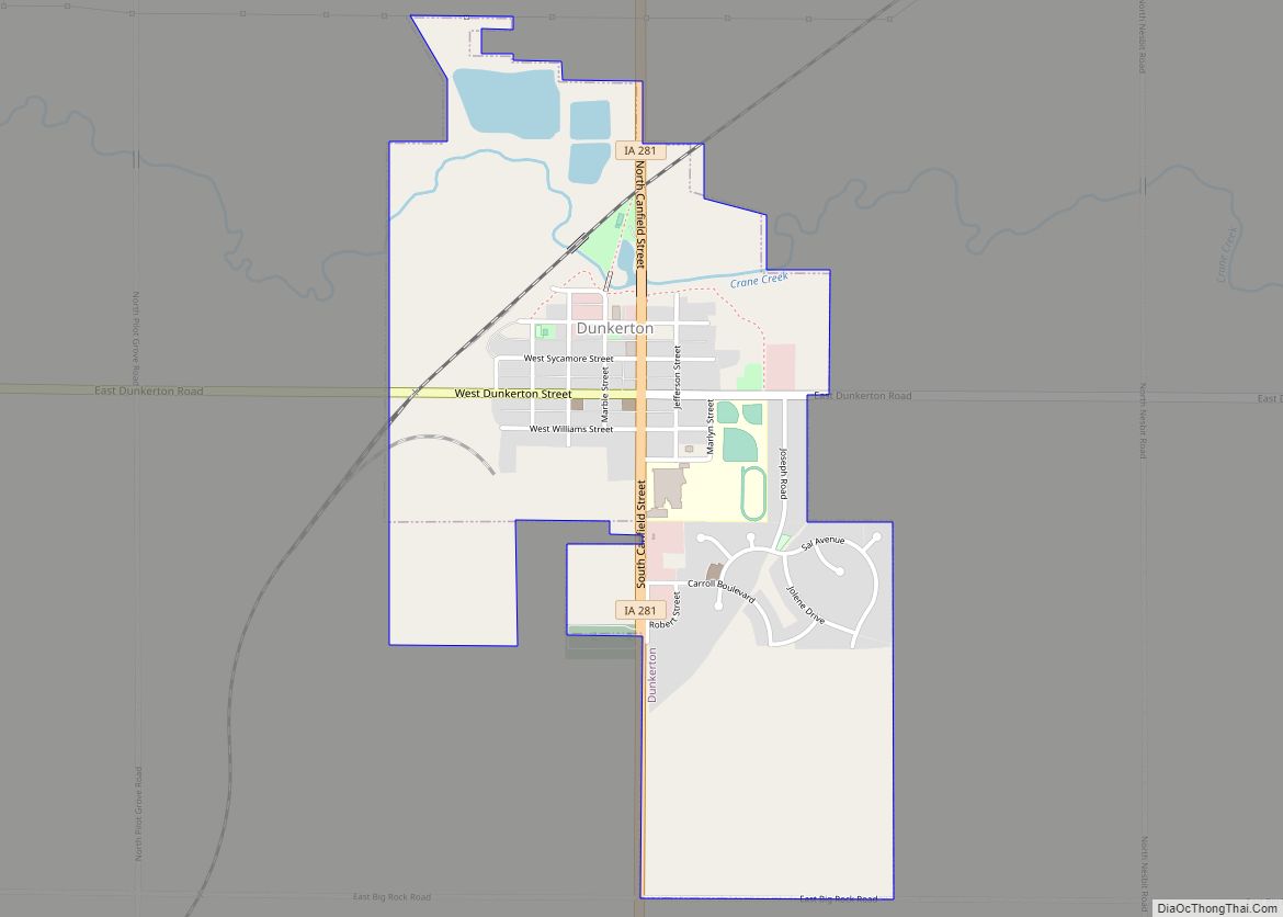
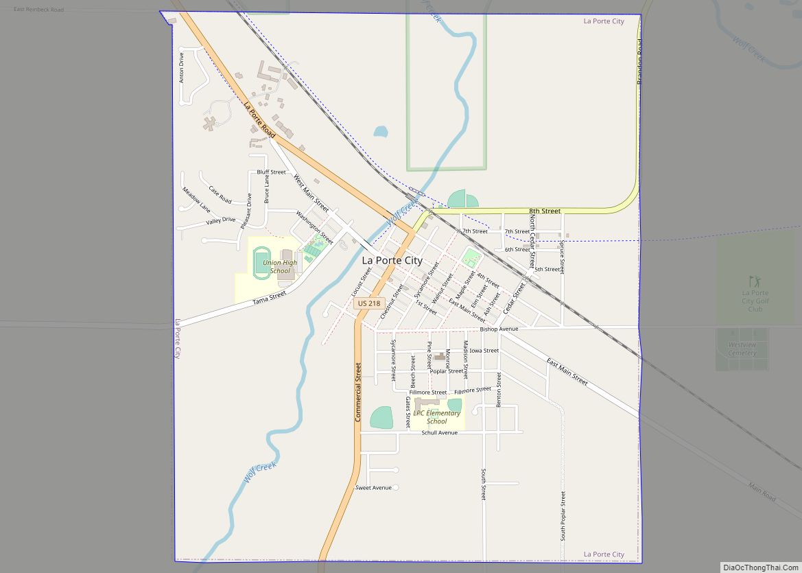
Dunkerton Road Map
Dunkerton city Satellite Map
Geography
Dunkerton is located at 42°34′6″N 92°9′36″W / 42.56833°N 92.16000°W / 42.56833; -92.16000 (42.568329, -92.160075).
According to the United States Census Bureau, the city has a total area of 0.99 square miles (2.56 km), of which 0.98 square miles (2.54 km) is land and 0.01 square miles (0.03 km) is water.
See also
Map of Iowa State and its subdivision:- Adair
- Adams
- Allamakee
- Appanoose
- Audubon
- Benton
- Black Hawk
- Boone
- Bremer
- Buchanan
- Buena Vista
- Butler
- Calhoun
- Carroll
- Cass
- Cedar
- Cerro Gordo
- Cherokee
- Chickasaw
- Clarke
- Clay
- Clayton
- Clinton
- Crawford
- Dallas
- Davis
- Decatur
- Delaware
- Des Moines
- Dickinson
- Dubuque
- Emmet
- Fayette
- Floyd
- Franklin
- Fremont
- Greene
- Grundy
- Guthrie
- Hamilton
- Hancock
- Hardin
- Harrison
- Henry
- Howard
- Humboldt
- Ida
- Iowa
- Jackson
- Jasper
- Jefferson
- Johnson
- Jones
- Keokuk
- Kossuth
- Lee
- Linn
- Louisa
- Lucas
- Lyon
- Madison
- Mahaska
- Marion
- Marshall
- Mills
- Mitchell
- Monona
- Monroe
- Montgomery
- Muscatine
- O'Brien
- Osceola
- Page
- Palo Alto
- Plymouth
- Pocahontas
- Polk
- Pottawattamie
- Poweshiek
- Ringgold
- Sac
- Scott
- Shelby
- Sioux
- Story
- Tama
- Taylor
- Union
- Van Buren
- Wapello
- Warren
- Washington
- Wayne
- Webster
- Winnebago
- Winneshiek
- Woodbury
- Worth
- Wright
- Alabama
- Alaska
- Arizona
- Arkansas
- California
- Colorado
- Connecticut
- Delaware
- District of Columbia
- Florida
- Georgia
- Hawaii
- Idaho
- Illinois
- Indiana
- Iowa
- Kansas
- Kentucky
- Louisiana
- Maine
- Maryland
- Massachusetts
- Michigan
- Minnesota
- Mississippi
- Missouri
- Montana
- Nebraska
- Nevada
- New Hampshire
- New Jersey
- New Mexico
- New York
- North Carolina
- North Dakota
- Ohio
- Oklahoma
- Oregon
- Pennsylvania
- Rhode Island
- South Carolina
- South Dakota
- Tennessee
- Texas
- Utah
- Vermont
- Virginia
- Washington
- West Virginia
- Wisconsin
- Wyoming
