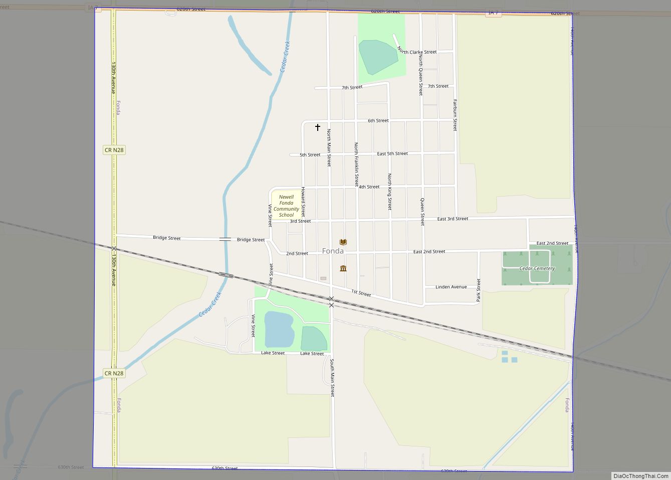
Fonda is a city in Pocahontas County, Iowa, United States. The population was 636 at the time of the 2020 census.
| Name: | Fonda city |
|---|---|
| LSAD Code: | 25 |
| LSAD Description: | city (suffix) |
| State: | Iowa |
| County: | Pocahontas County |
| Elevation: | 1,220 ft (372 m) |
| Total Area: | 1.00 sq mi (2.60 km²) |
| Land Area: | 1.00 sq mi (2.60 km²) |
| Water Area: | 0.00 sq mi (0.00 km²) |
| Total Population: | 636 |
| Population Density: | 633.47/sq mi (244.70/km²) |
| ZIP code: | 50540 |
| Area code: | 712 |
| FIPS code: | 1928245 |
| GNISfeature ID: | 0456657 |
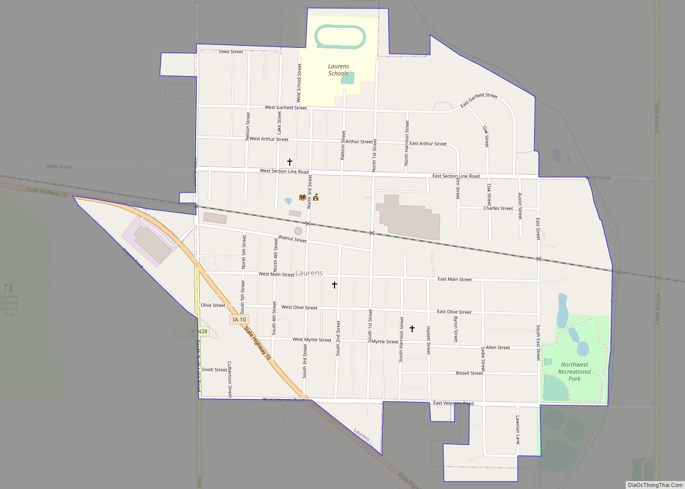
Online Interactive Map
Click on ![]() to view map in "full screen" mode.
to view map in "full screen" mode.
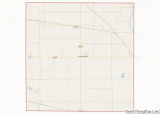
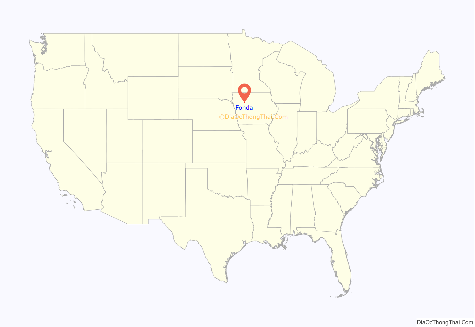
Fonda location map. Where is Fonda city?

History
The city of Fonda was originally called Marvin. Marvin, however, was deemed too similar to Manson, Iowa and due to mail being mixed up, town officials changed the name to Fonda in 1874. The nearest municipality sharing the name, “Fonda”, is Fonda, New York.
Fonda Road Map
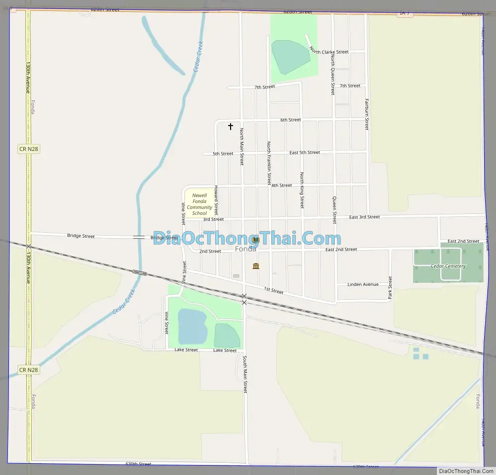
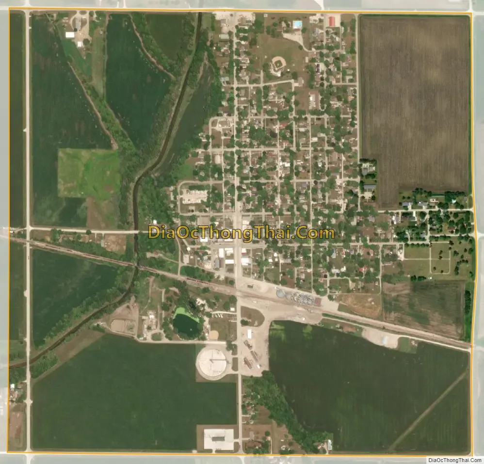
Fonda city Satellite Map
Geography
Fonda is located at 42°34′58″N 94°50′45″W / 42.58278°N 94.84583°W / 42.58278; -94.84583 (42.582819, -94.845810).
According to the United States Census Bureau, the city has a total area of 1.05 square miles (2.72 km), all land.
The town is located at the western edge of the Des Moines Lobe, the most recently glaciated section of Iowa. The Des Moines Lobe is part of the prairie pothole region of the Midwest. The topography is irregular in its gently rolling terrain. Wetlands, glacial erratics, concentric bands of ridges, and large flat areas characterize the land surrounding Fonda. In its natural state, the land is poorly drained, although humans have added an extensive network of tiles to move water from the potholes to local tributaries. The tiles surrounding Fonda empty into Big Cedar Creek, a tributary of the Raccoon River. This waterway, which underwent channelization in the early 1900s, flows past the town on its west end. Evidence of its winding original path still exists, particularly in the Fonda Golf Course and in the schoolyard behind Our Lady of Good Counsel Catholic Church.
Four miles (6 km) northwest of town, Sunken Grove Wildlife Management Area (WMA) exists as a reminder of the past. Large undrained wetlands are surrounded by forests and prairies. The area is home to large populations of migrating birds and permanent populations of wildlife. This public parcel has recently expanded and is adjacent to the Leo Shimon WMA. Together, the two areas comprise 1,148 acres (4.65 km) of land, a total of slightly less than two square miles.
The remainder of the area surrounding Fonda is agricultural. Vast corn and soybean fields are interspersed by acreages and hog confinements (also known as a concentrated animal feeding operation). The vitality of the town and of the region have been influenced by the shift from a sustenance way of farming to an industrial model. Fewer farmers, less diversity in agricultural products, more agrochemicals, and more tillage have upset the economic system of the town and surrounding countryside. Fonda’s AgPartners elevator is partially owned by Cargill. Many of the hog confinements around town are owned by corporations, such as New Fashion Pork, based in Jackson, Minnesota.
Pocahontas County has seen a large decrease in the number of farms. In 1969, there were 1,369 farms. By 1997 the number had dropped to 778. The average farm size has increased from 265 to 459 acres (107 to 186 hectares) in that same time period. In 1969, 844 farms sold 176,705 hogs. In 1997, 162 farms sold 248,666 hogs.
In 1982, 14 poultry farms housed 69,911 layers. By 1997, no farms and no layers existed. In 1982, there were 26,728 acres (108.16 km) of pastures and acreages in the county. By 1997, that amount had decreased to 16,840 acres (68.15 km).
Des Moines, which lies 135 miles (217 km) south and east of Fonda, receives a large portion of its drinking water from the Raccoon River (and thus Big Cedar Creek). From 1978 to 2004, contamination at its water intake plant due to nitrates (an agrichemical) has increased from 4.5 mg/L to 7.7 mg/L. Nitrate consumption is linked to blue baby syndrome.
See also
Map of Iowa State and its subdivision:- Adair
- Adams
- Allamakee
- Appanoose
- Audubon
- Benton
- Black Hawk
- Boone
- Bremer
- Buchanan
- Buena Vista
- Butler
- Calhoun
- Carroll
- Cass
- Cedar
- Cerro Gordo
- Cherokee
- Chickasaw
- Clarke
- Clay
- Clayton
- Clinton
- Crawford
- Dallas
- Davis
- Decatur
- Delaware
- Des Moines
- Dickinson
- Dubuque
- Emmet
- Fayette
- Floyd
- Franklin
- Fremont
- Greene
- Grundy
- Guthrie
- Hamilton
- Hancock
- Hardin
- Harrison
- Henry
- Howard
- Humboldt
- Ida
- Iowa
- Jackson
- Jasper
- Jefferson
- Johnson
- Jones
- Keokuk
- Kossuth
- Lee
- Linn
- Louisa
- Lucas
- Lyon
- Madison
- Mahaska
- Marion
- Marshall
- Mills
- Mitchell
- Monona
- Monroe
- Montgomery
- Muscatine
- O'Brien
- Osceola
- Page
- Palo Alto
- Plymouth
- Pocahontas
- Polk
- Pottawattamie
- Poweshiek
- Ringgold
- Sac
- Scott
- Shelby
- Sioux
- Story
- Tama
- Taylor
- Union
- Van Buren
- Wapello
- Warren
- Washington
- Wayne
- Webster
- Winnebago
- Winneshiek
- Woodbury
- Worth
- Wright
- Alabama
- Alaska
- Arizona
- Arkansas
- California
- Colorado
- Connecticut
- Delaware
- District of Columbia
- Florida
- Georgia
- Hawaii
- Idaho
- Illinois
- Indiana
- Iowa
- Kansas
- Kentucky
- Louisiana
- Maine
- Maryland
- Massachusetts
- Michigan
- Minnesota
- Mississippi
- Missouri
- Montana
- Nebraska
- Nevada
- New Hampshire
- New Jersey
- New Mexico
- New York
- North Carolina
- North Dakota
- Ohio
- Oklahoma
- Oregon
- Pennsylvania
- Rhode Island
- South Carolina
- South Dakota
- Tennessee
- Texas
- Utah
- Vermont
- Virginia
- Washington
- West Virginia
- Wisconsin
- Wyoming