Stuart is a city in Lincoln Township, Adair County, and in Stuart Township, Guthrie County, in the U.S. state of Iowa. That part of the city within Guthrie County is part of the Des Moines–West Des Moines Metropolitan Statistical Area. The population was 1,782 at the 2020 census.
| Name: | Stuart city |
|---|---|
| LSAD Code: | 25 |
| LSAD Description: | city (suffix) |
| State: | Iowa |
| County: | Adair County, Guthrie County |
| Elevation: | 1,207 ft (368 m) |
| Total Area: | 2.78 sq mi (7.21 km²) |
| Land Area: | 2.78 sq mi (7.21 km²) |
| Water Area: | 0.00 sq mi (0.00 km²) |
| Total Population: | 1,782 |
| Population Density: | 640.32/sq mi (247.22/km²) |
| ZIP code: | 50250 |
| Area code: | 515 |
| FIPS code: | 1975990 |
| GNISfeature ID: | 0462041 |
| Website: | www.stuartia.com |
Online Interactive Map
Click on ![]() to view map in "full screen" mode.
to view map in "full screen" mode.
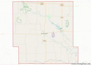
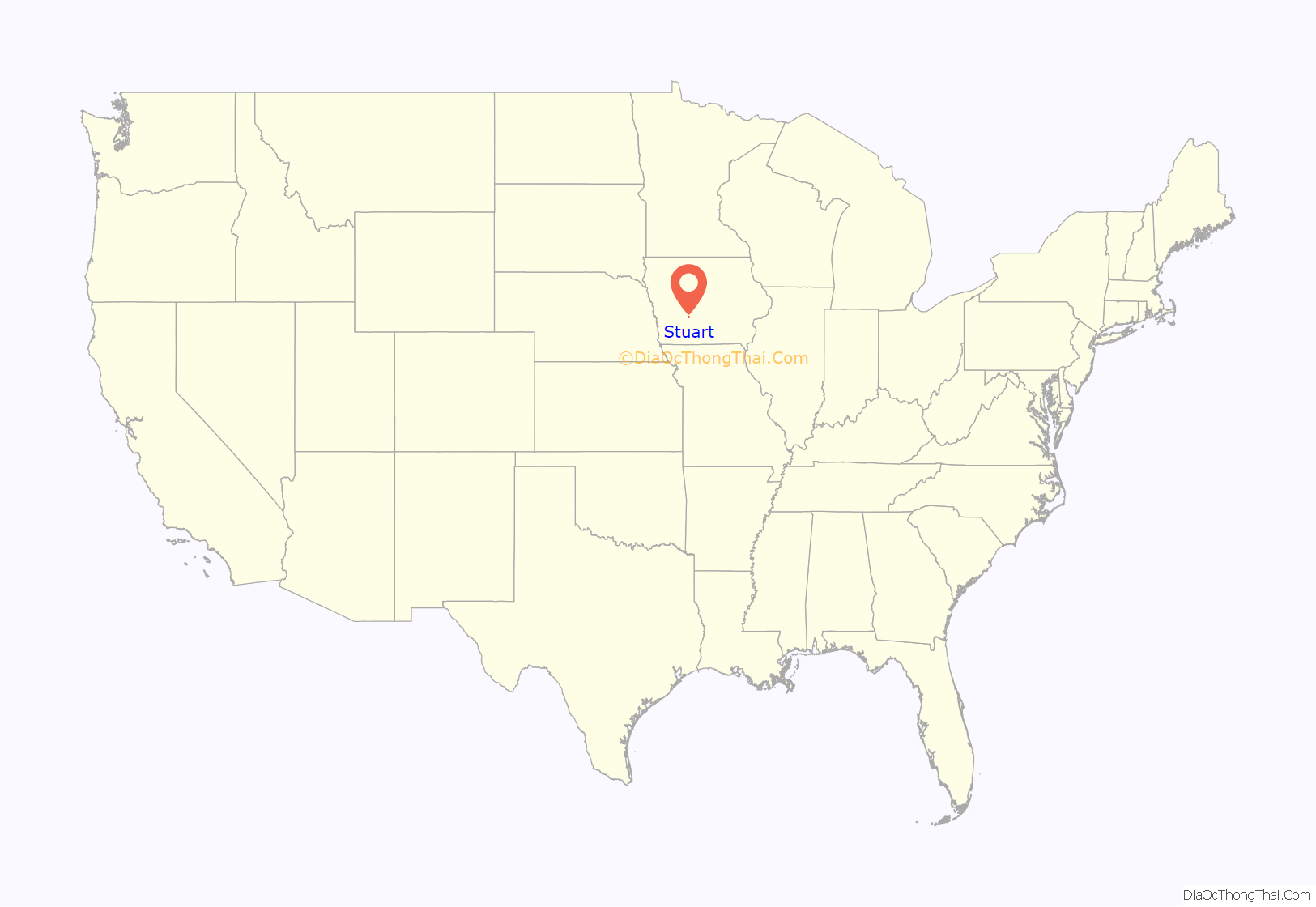
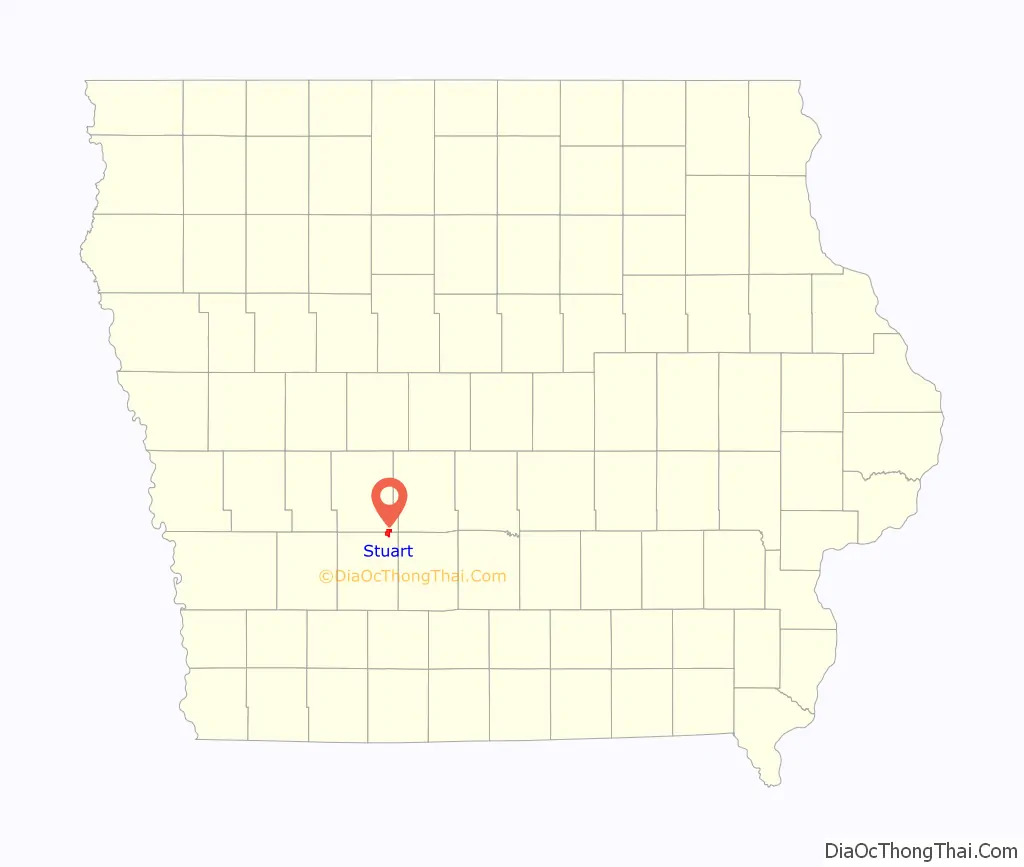
Stuart location map. Where is Stuart city?
History
Stuart got its start in the late 1860s, following construction of the Chicago, Rock Island and Pacific Railroad through the territory. It is named for Charles Stuart, who was instrumental in bringing the railroad to the city.
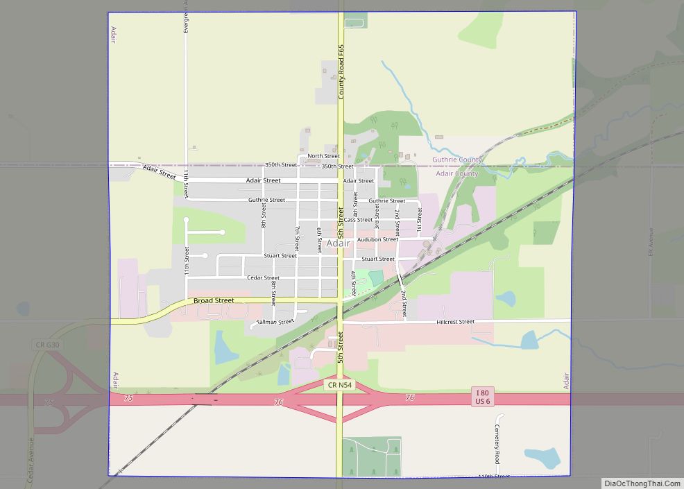
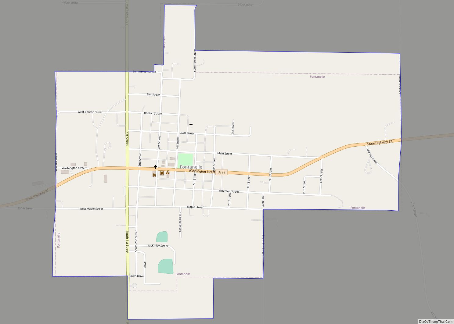
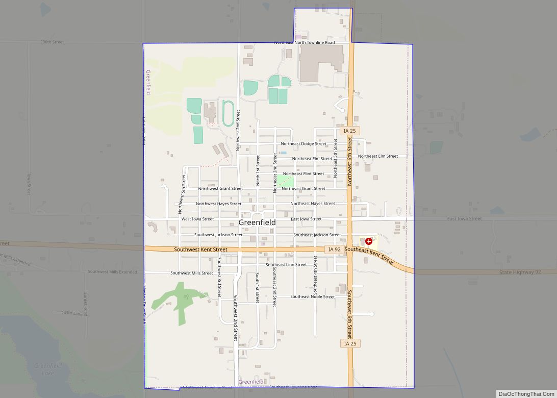
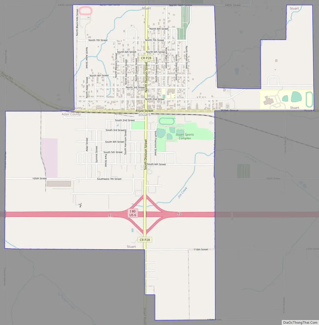
Stuart Road Map
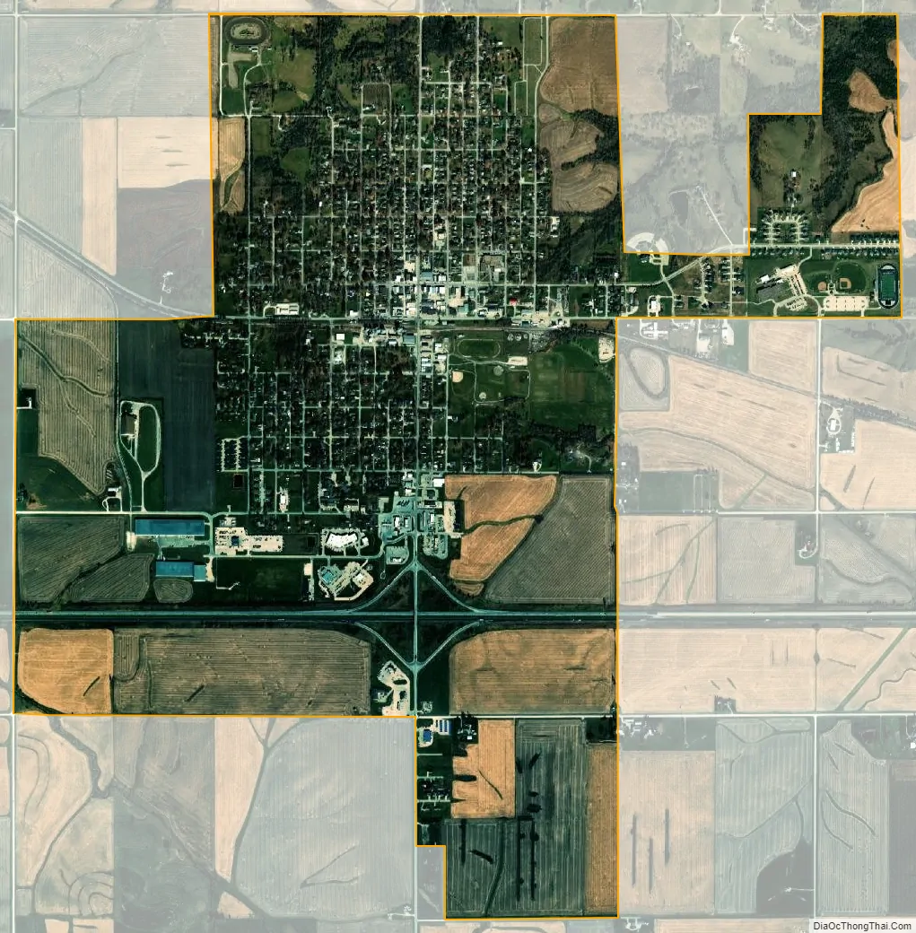
Stuart city Satellite Map
Geography
According to the United States Census Bureau, the city has a total area of 2.58 square miles (6.68 km), all land.
See also
Map of Iowa State and its subdivision:- Adair
- Adams
- Allamakee
- Appanoose
- Audubon
- Benton
- Black Hawk
- Boone
- Bremer
- Buchanan
- Buena Vista
- Butler
- Calhoun
- Carroll
- Cass
- Cedar
- Cerro Gordo
- Cherokee
- Chickasaw
- Clarke
- Clay
- Clayton
- Clinton
- Crawford
- Dallas
- Davis
- Decatur
- Delaware
- Des Moines
- Dickinson
- Dubuque
- Emmet
- Fayette
- Floyd
- Franklin
- Fremont
- Greene
- Grundy
- Guthrie
- Hamilton
- Hancock
- Hardin
- Harrison
- Henry
- Howard
- Humboldt
- Ida
- Iowa
- Jackson
- Jasper
- Jefferson
- Johnson
- Jones
- Keokuk
- Kossuth
- Lee
- Linn
- Louisa
- Lucas
- Lyon
- Madison
- Mahaska
- Marion
- Marshall
- Mills
- Mitchell
- Monona
- Monroe
- Montgomery
- Muscatine
- O'Brien
- Osceola
- Page
- Palo Alto
- Plymouth
- Pocahontas
- Polk
- Pottawattamie
- Poweshiek
- Ringgold
- Sac
- Scott
- Shelby
- Sioux
- Story
- Tama
- Taylor
- Union
- Van Buren
- Wapello
- Warren
- Washington
- Wayne
- Webster
- Winnebago
- Winneshiek
- Woodbury
- Worth
- Wright
- Alabama
- Alaska
- Arizona
- Arkansas
- California
- Colorado
- Connecticut
- Delaware
- District of Columbia
- Florida
- Georgia
- Hawaii
- Idaho
- Illinois
- Indiana
- Iowa
- Kansas
- Kentucky
- Louisiana
- Maine
- Maryland
- Massachusetts
- Michigan
- Minnesota
- Mississippi
- Missouri
- Montana
- Nebraska
- Nevada
- New Hampshire
- New Jersey
- New Mexico
- New York
- North Carolina
- North Dakota
- Ohio
- Oklahoma
- Oregon
- Pennsylvania
- Rhode Island
- South Carolina
- South Dakota
- Tennessee
- Texas
- Utah
- Vermont
- Virginia
- Washington
- West Virginia
- Wisconsin
- Wyoming