Sumner is a city in Bremer County, Iowa, United States. The city is located along the county’s eastern border, between Bremer and Fayette counties. The population was 2,021 at the time of the 2020 census. The Bremer County portion of Sumner is part of the Waterloo–Cedar Falls Metropolitan Statistical Area.
The town was established in 1870, and incorporated in 1894. The community is named after American political leader Charles Sumner.
Sumner is home to Life Line Emergency Vehicles, a major manufacturer of ambulances.
| Name: | Sumner city |
|---|---|
| LSAD Code: | 25 |
| LSAD Description: | city (suffix) |
| State: | Iowa |
| County: | Bremer County, Fayette County |
| Elevation: | 1,060 ft (323 m) |
| Total Area: | 2.47 sq mi (6.40 km²) |
| Land Area: | 2.46 sq mi (6.37 km²) |
| Water Area: | 0.01 sq mi (0.03 km²) |
| Total Population: | 2,030 |
| Population Density: | 825.54/sq mi (318.76/km²) |
| ZIP code: | 50674 |
| Area code: | 563 |
| FIPS code: | 1976260 |
| GNISfeature ID: | 462083 |
| Website: | www.mysumneriowa.com |
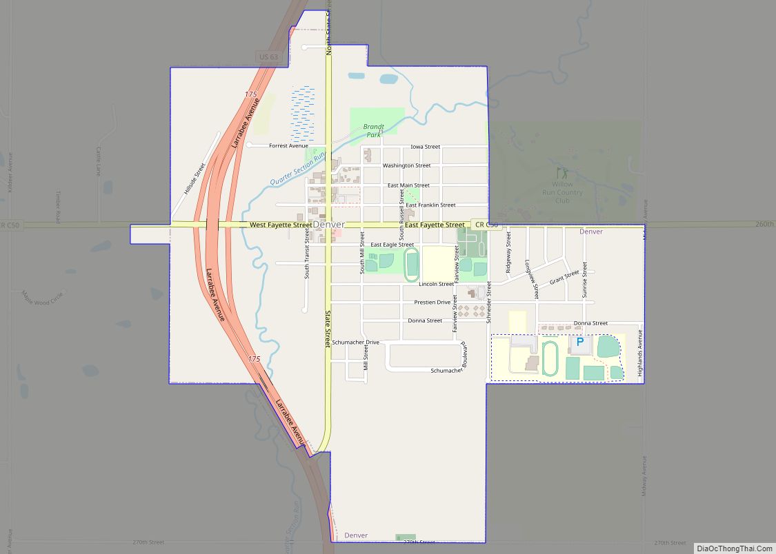
Online Interactive Map
Click on ![]() to view map in "full screen" mode.
to view map in "full screen" mode.
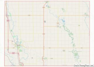
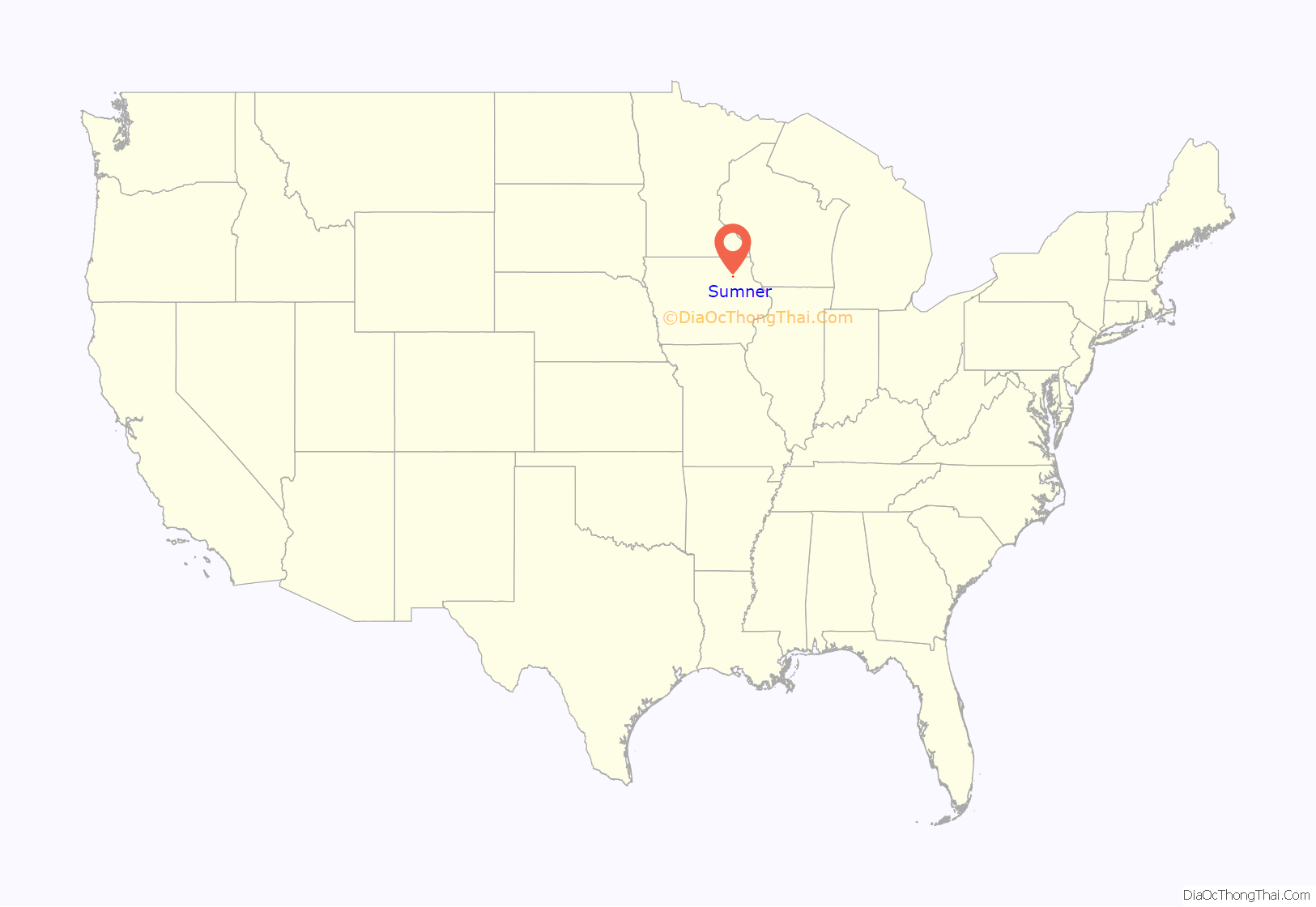
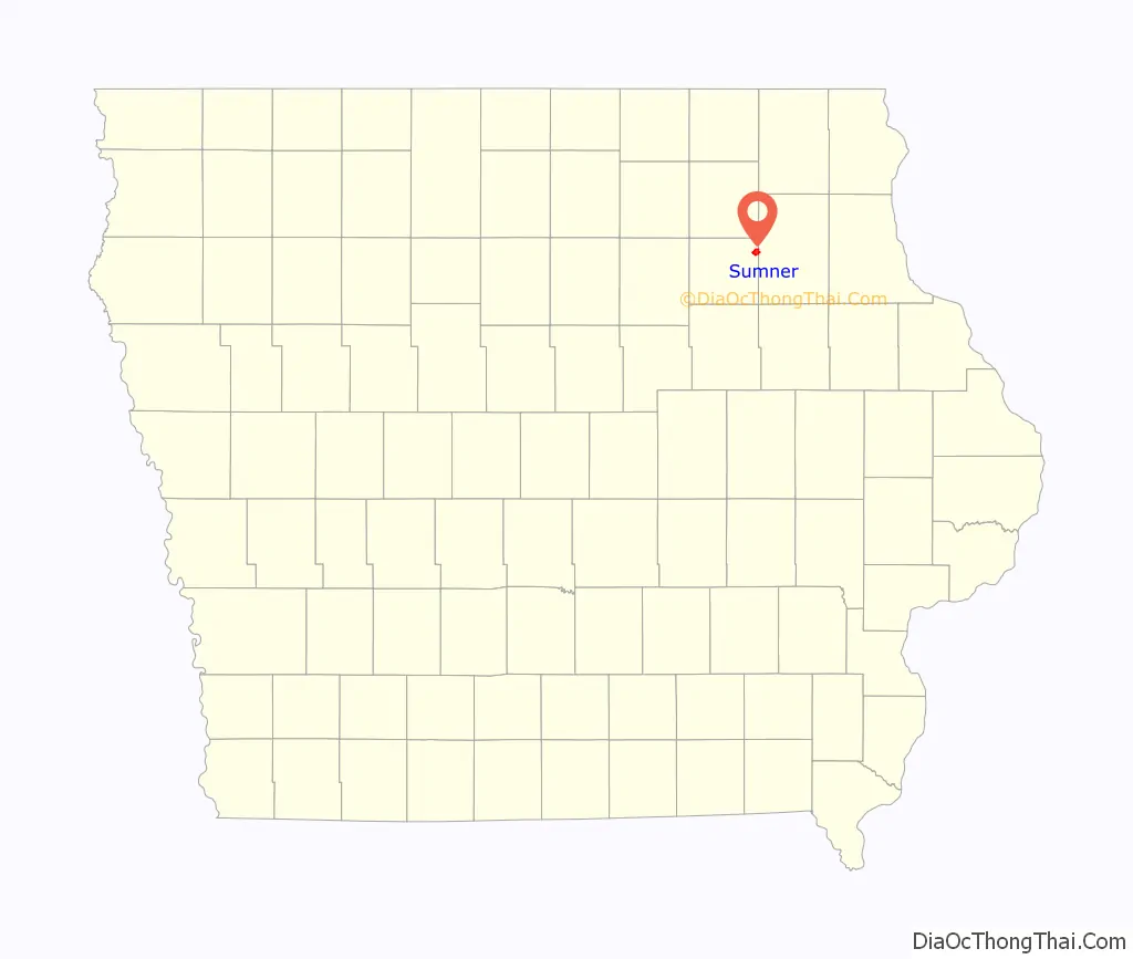
Sumner location map. Where is Sumner city?
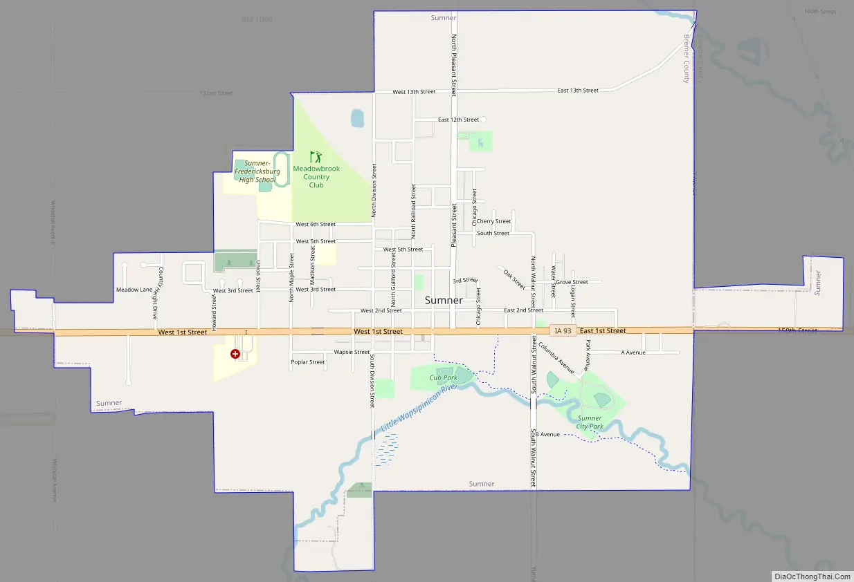
Sumner Road Map
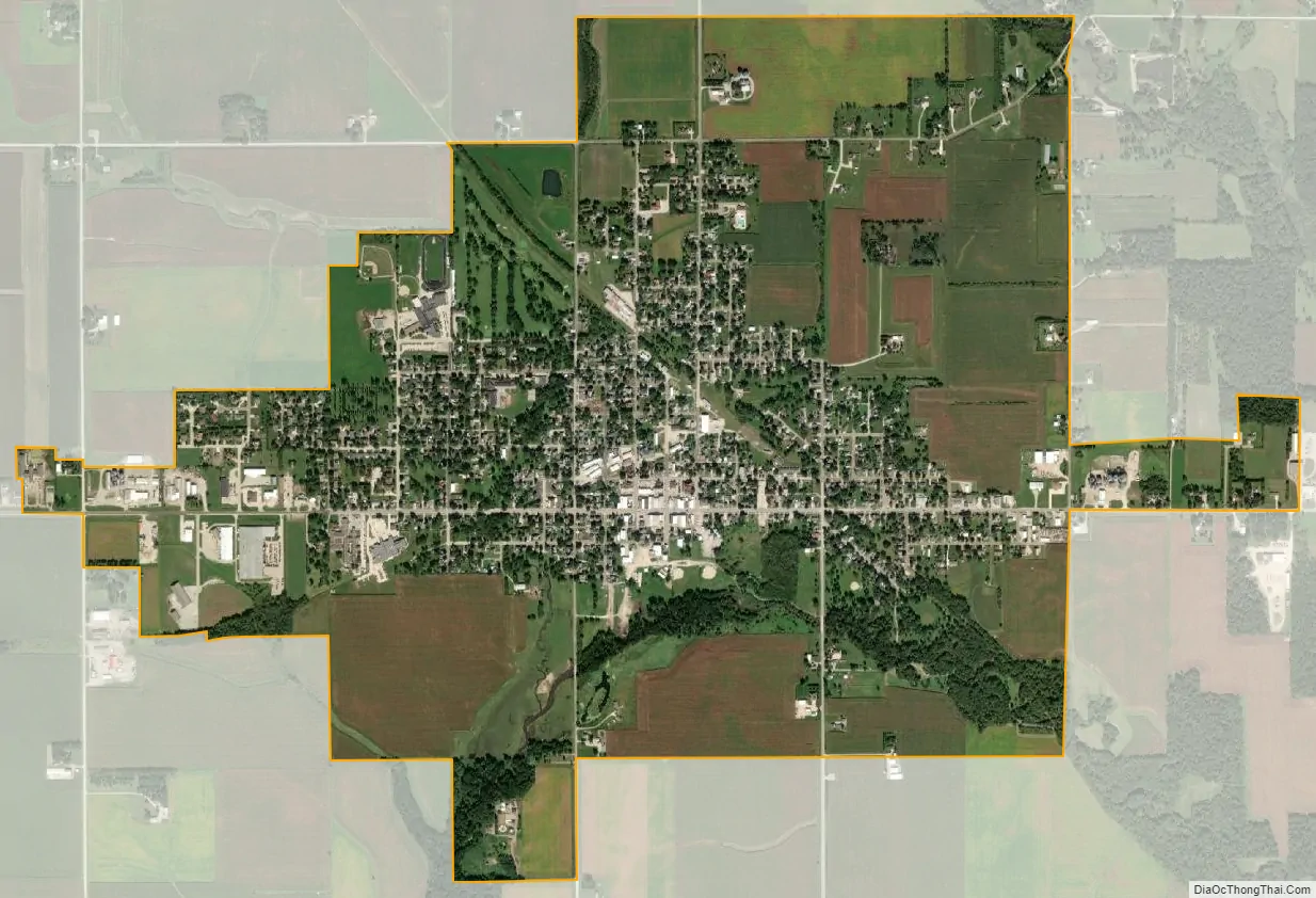
Sumner city Satellite Map
Geography
According to the United States Census Bureau, the city has a total area of 2.53 square miles (6.55 km), of which, 2.52 square miles (6.53 km) is land and 0.01 square miles (0.03 km) is water.
Sumner is located on Iowa Highway 93.
See also
Map of Iowa State and its subdivision:- Adair
- Adams
- Allamakee
- Appanoose
- Audubon
- Benton
- Black Hawk
- Boone
- Bremer
- Buchanan
- Buena Vista
- Butler
- Calhoun
- Carroll
- Cass
- Cedar
- Cerro Gordo
- Cherokee
- Chickasaw
- Clarke
- Clay
- Clayton
- Clinton
- Crawford
- Dallas
- Davis
- Decatur
- Delaware
- Des Moines
- Dickinson
- Dubuque
- Emmet
- Fayette
- Floyd
- Franklin
- Fremont
- Greene
- Grundy
- Guthrie
- Hamilton
- Hancock
- Hardin
- Harrison
- Henry
- Howard
- Humboldt
- Ida
- Iowa
- Jackson
- Jasper
- Jefferson
- Johnson
- Jones
- Keokuk
- Kossuth
- Lee
- Linn
- Louisa
- Lucas
- Lyon
- Madison
- Mahaska
- Marion
- Marshall
- Mills
- Mitchell
- Monona
- Monroe
- Montgomery
- Muscatine
- O'Brien
- Osceola
- Page
- Palo Alto
- Plymouth
- Pocahontas
- Polk
- Pottawattamie
- Poweshiek
- Ringgold
- Sac
- Scott
- Shelby
- Sioux
- Story
- Tama
- Taylor
- Union
- Van Buren
- Wapello
- Warren
- Washington
- Wayne
- Webster
- Winnebago
- Winneshiek
- Woodbury
- Worth
- Wright
- Alabama
- Alaska
- Arizona
- Arkansas
- California
- Colorado
- Connecticut
- Delaware
- District of Columbia
- Florida
- Georgia
- Hawaii
- Idaho
- Illinois
- Indiana
- Iowa
- Kansas
- Kentucky
- Louisiana
- Maine
- Maryland
- Massachusetts
- Michigan
- Minnesota
- Mississippi
- Missouri
- Montana
- Nebraska
- Nevada
- New Hampshire
- New Jersey
- New Mexico
- New York
- North Carolina
- North Dakota
- Ohio
- Oklahoma
- Oregon
- Pennsylvania
- Rhode Island
- South Carolina
- South Dakota
- Tennessee
- Texas
- Utah
- Vermont
- Virginia
- Washington
- West Virginia
- Wisconsin
- Wyoming