Van Meter is a city in Dallas County, Iowa, United States, situated along the Raccoon River. The population was 1,484 at the time of the 2020 census. Van Meter is part of the Des Moines–West Des Moines Metropolitan Statistical Area.
| Name: | Van Meter city |
|---|---|
| LSAD Code: | 25 |
| LSAD Description: | city (suffix) |
| State: | Iowa |
| County: | Dallas County |
| Elevation: | 873 ft (266 m) |
| Total Area: | 2.49 sq mi (6.45 km²) |
| Land Area: | 2.47 sq mi (6.39 km²) |
| Water Area: | 0.02 sq mi (0.06 km²) |
| Total Population: | 1,484 |
| Population Density: | 601.30/sq mi (232.12/km²) |
| ZIP code: | 50261 |
| Area code: | 515 |
| FIPS code: | 1980445 |
| GNISfeature ID: | 0462534 |
| Website: | www.vanmeteria.gov |
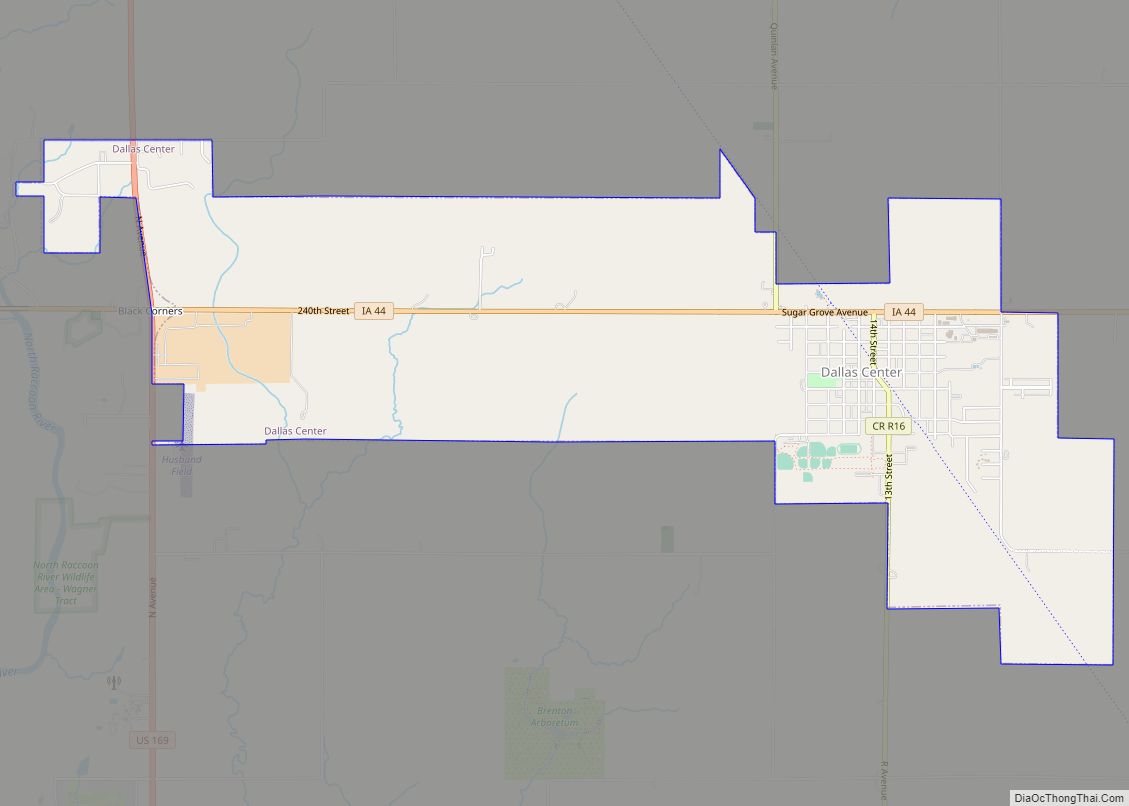
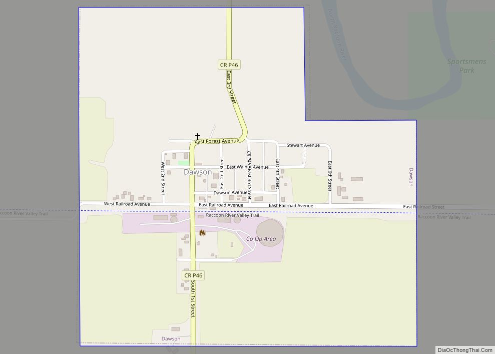
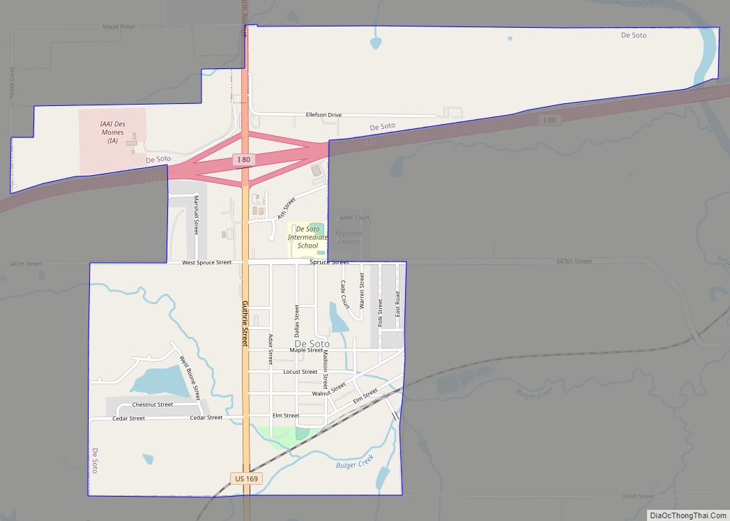
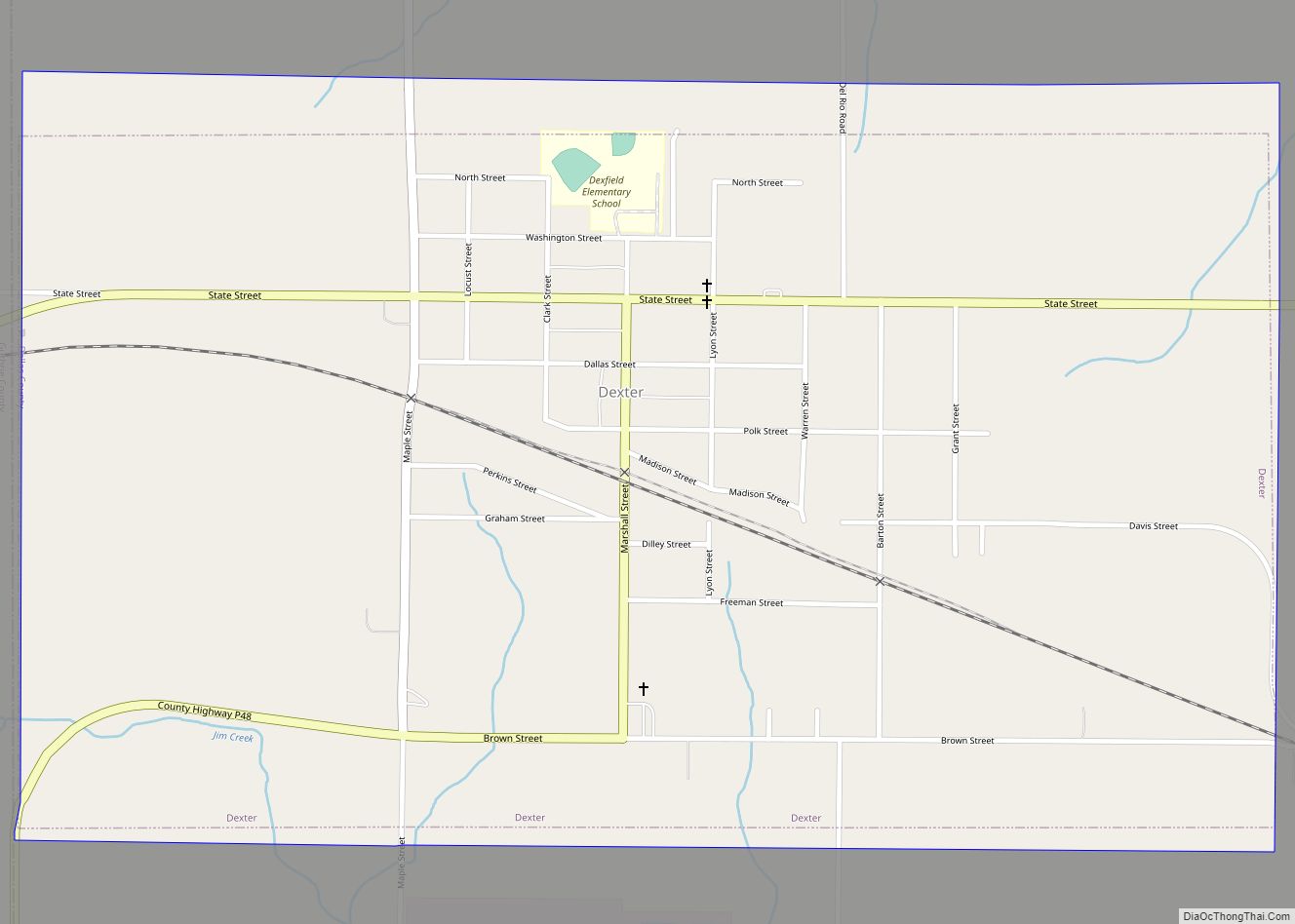
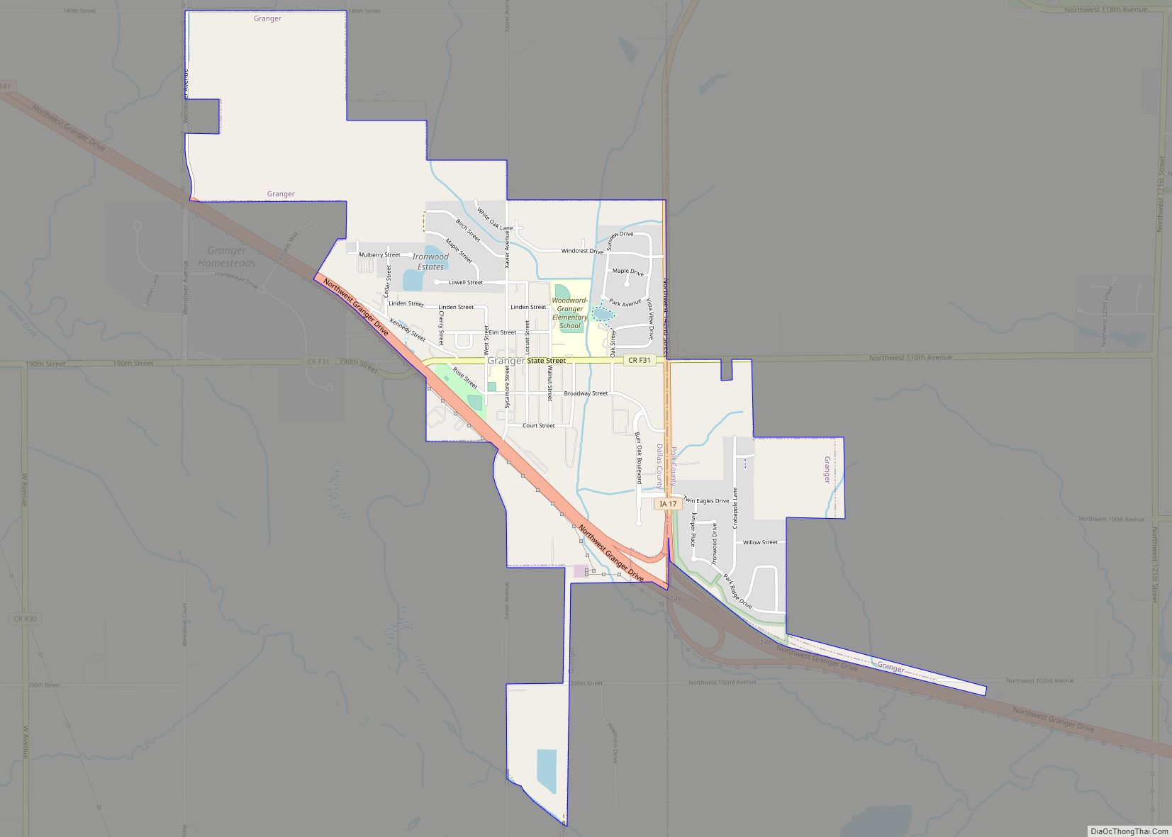
Online Interactive Map
Click on ![]() to view map in "full screen" mode.
to view map in "full screen" mode.
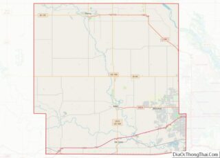
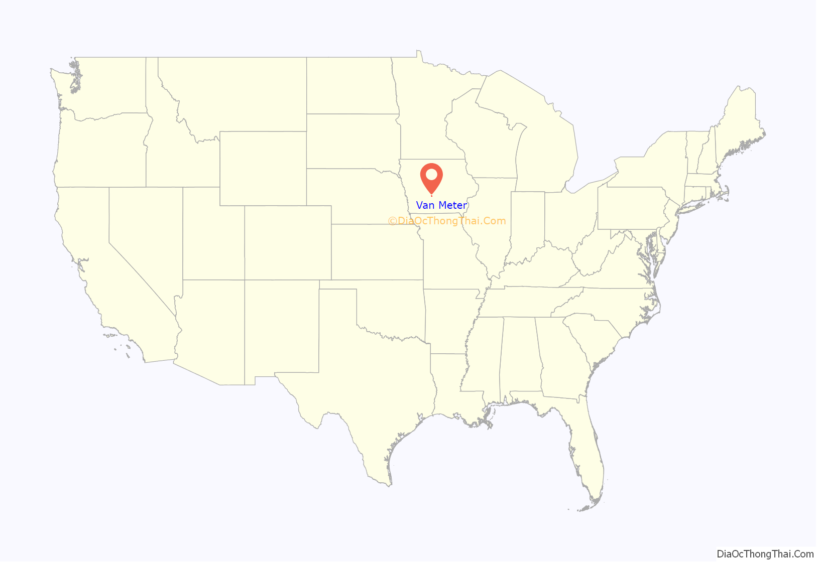
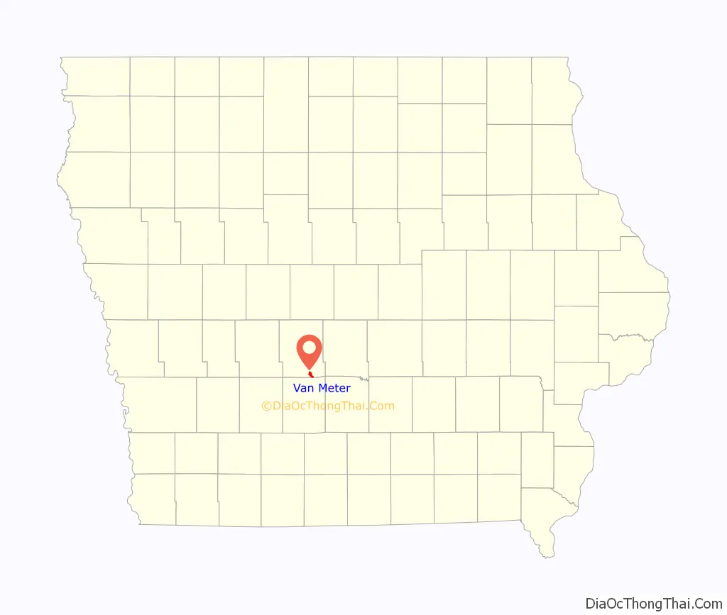
Van Meter location map. Where is Van Meter city?
History
Van Meter was laid out as a town in 1869. The city was named for Jacob Rhodes Van Meter and his family, Dutch settlers from Meteren, the Netherlands. Van Meter was incorporated on December 29, 1877.
The Van Meter Visitor
In September and October 1903, there were multiple instances of people claiming to have seen a winged, bat-like creature in and around Van Meter. The roughly nine-foot-tall being, which has since been dubbed the Van Meter Visitor, was reported to be able to shoot light from the horn situated on its forehead and be unaffected by bullets. Clarence Dunn, one of the witnesses, had even made a plaster cast of three-toed footprints it left behind. A smaller, similar being sometimes accompanied it. After a community-led confrontation, the being disappeared after about four days, supposedly into the nearby coal mine. Claims of witnessing bat-like creatures or phenomena have continued, including into the 2010s.
To commemorate the sightings, a Van Meter Visitor Festival transpires annually around the anniversary of the events.
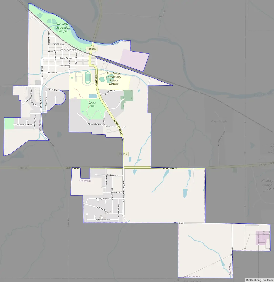
Van Meter Road Map
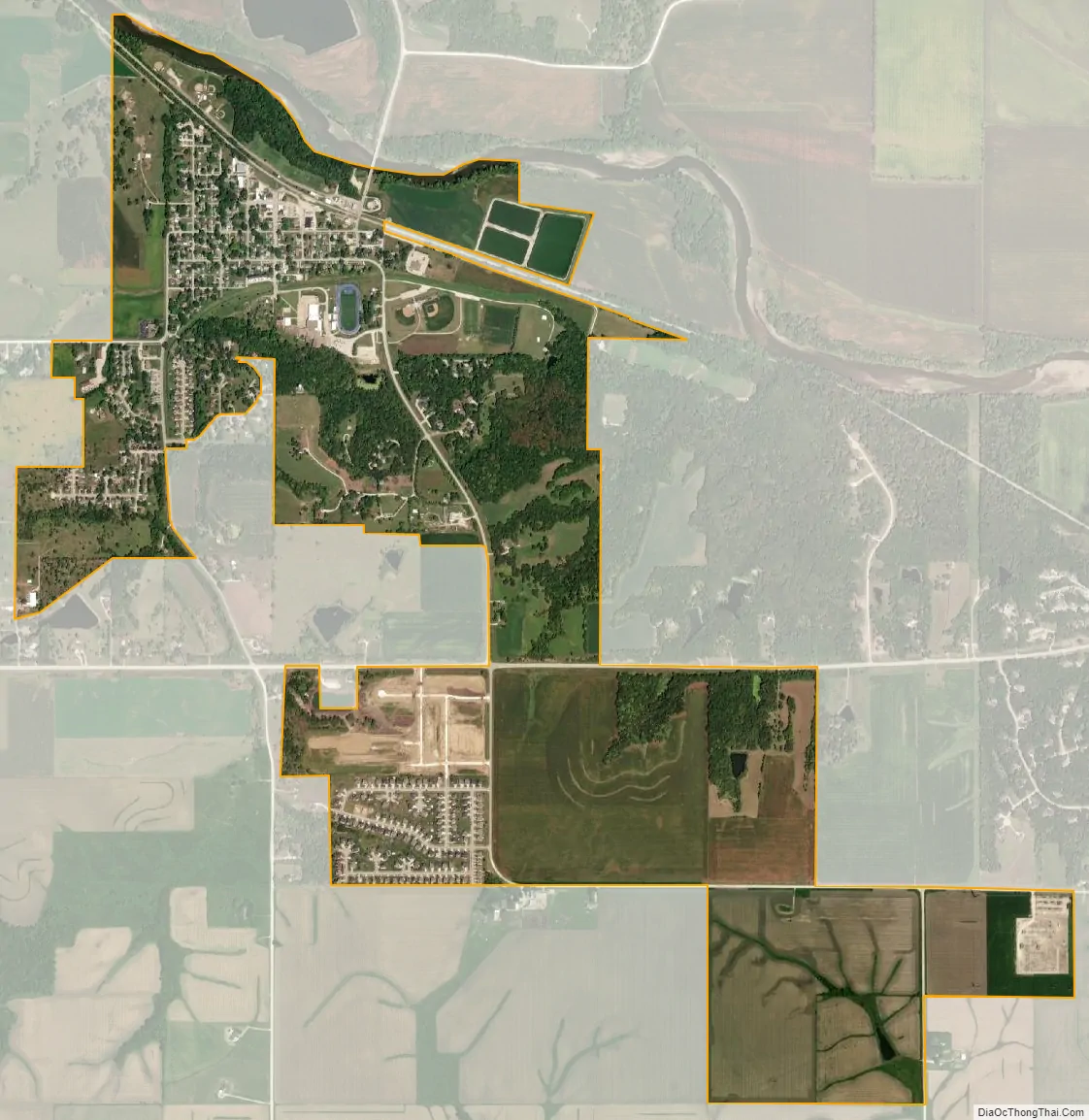
Van Meter city Satellite Map
Geography
Van Meter’s longitude and latitude coordinates in decimal form are 41.531505, -93.955338).
According to the United States Census Bureau, the city has a total area of 1.30 square miles (3.37 km), of which 1.28 square miles (3.32 km) is land and 0.02 square miles (0.05 km) is water.
Van Meter is situated west of Des Moines, just south of Interstate 80.
See also
Map of Iowa State and its subdivision:- Adair
- Adams
- Allamakee
- Appanoose
- Audubon
- Benton
- Black Hawk
- Boone
- Bremer
- Buchanan
- Buena Vista
- Butler
- Calhoun
- Carroll
- Cass
- Cedar
- Cerro Gordo
- Cherokee
- Chickasaw
- Clarke
- Clay
- Clayton
- Clinton
- Crawford
- Dallas
- Davis
- Decatur
- Delaware
- Des Moines
- Dickinson
- Dubuque
- Emmet
- Fayette
- Floyd
- Franklin
- Fremont
- Greene
- Grundy
- Guthrie
- Hamilton
- Hancock
- Hardin
- Harrison
- Henry
- Howard
- Humboldt
- Ida
- Iowa
- Jackson
- Jasper
- Jefferson
- Johnson
- Jones
- Keokuk
- Kossuth
- Lee
- Linn
- Louisa
- Lucas
- Lyon
- Madison
- Mahaska
- Marion
- Marshall
- Mills
- Mitchell
- Monona
- Monroe
- Montgomery
- Muscatine
- O'Brien
- Osceola
- Page
- Palo Alto
- Plymouth
- Pocahontas
- Polk
- Pottawattamie
- Poweshiek
- Ringgold
- Sac
- Scott
- Shelby
- Sioux
- Story
- Tama
- Taylor
- Union
- Van Buren
- Wapello
- Warren
- Washington
- Wayne
- Webster
- Winnebago
- Winneshiek
- Woodbury
- Worth
- Wright
- Alabama
- Alaska
- Arizona
- Arkansas
- California
- Colorado
- Connecticut
- Delaware
- District of Columbia
- Florida
- Georgia
- Hawaii
- Idaho
- Illinois
- Indiana
- Iowa
- Kansas
- Kentucky
- Louisiana
- Maine
- Maryland
- Massachusetts
- Michigan
- Minnesota
- Mississippi
- Missouri
- Montana
- Nebraska
- Nevada
- New Hampshire
- New Jersey
- New Mexico
- New York
- North Carolina
- North Dakota
- Ohio
- Oklahoma
- Oregon
- Pennsylvania
- Rhode Island
- South Carolina
- South Dakota
- Tennessee
- Texas
- Utah
- Vermont
- Virginia
- Washington
- West Virginia
- Wisconsin
- Wyoming