Addison is a village located in the Chicago Metropolitan Area, in DuPage County, Illinois, United States. The population was 36,942 at the 2010 census.
| Name: | Addison village |
|---|---|
| LSAD Code: | 47 |
| LSAD Description: | village (suffix) |
| State: | Illinois |
| County: | DuPage County |
| Incorporated: | 1884 |
| Elevation: | 702 ft (214 m) |
| Total Area: | 10.00 sq mi (25.90 km²) |
| Land Area: | 9.83 sq mi (25.46 km²) |
| Water Area: | 0.17 sq mi (0.44 km²) 2.14% |
| Total Population: | 35,702 |
| Population Density: | 3,632.31/sq mi (1,402.49/km²) |
| Area code: | 630 and 331 |
| FIPS code: | 1700243 |
| GNISfeature ID: | 2397911 |
| Website: | www.addisonadvantage.org |
Online Interactive Map
Click on ![]() to view map in "full screen" mode.
to view map in "full screen" mode.
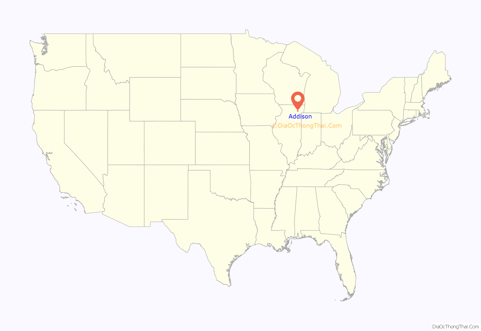
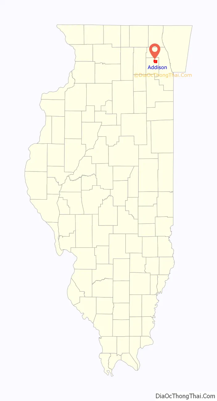
Addison location map. Where is Addison village?
History
The community itself was originally named Dunkley’s Grove after the settler Hezekiah Dunklee, and was renamed after a town in England or Addison, New York. In 1832, Winfield Scott built Army Trail Road on top of a Potawatomi trail in Addison, in order to allow 50 broad-tired wagons to fight Black Hawk and his warriors. In 1864, the Lutheran Church–Missouri Synod moved its teacher training to the village from Fort Wayne, Indiana, and established the Addison Teachers Seminary; it remained in Addison until 1913, when it was relocated to River Forest, Illinois, as Concordia Teachers College (now Concordia University Chicago).
The village was incorporated in 1884, at which time it had a population of 400.
Adventureland amusement park was located in Addison (Lake and Medinah) during the 1960s and 1970s. The Addison Industrial District was the proposed location for the reconstruction of Comiskey Park in the late 1980s before this was voted down.
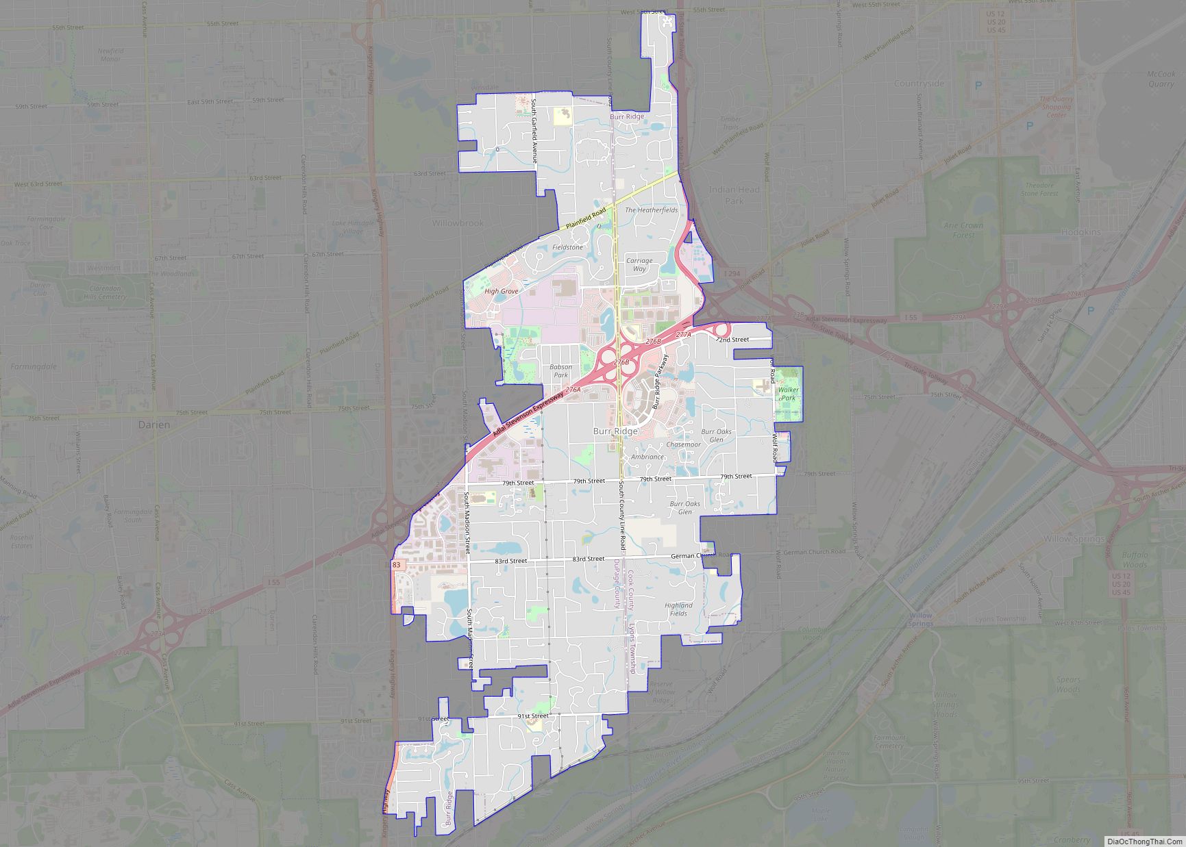
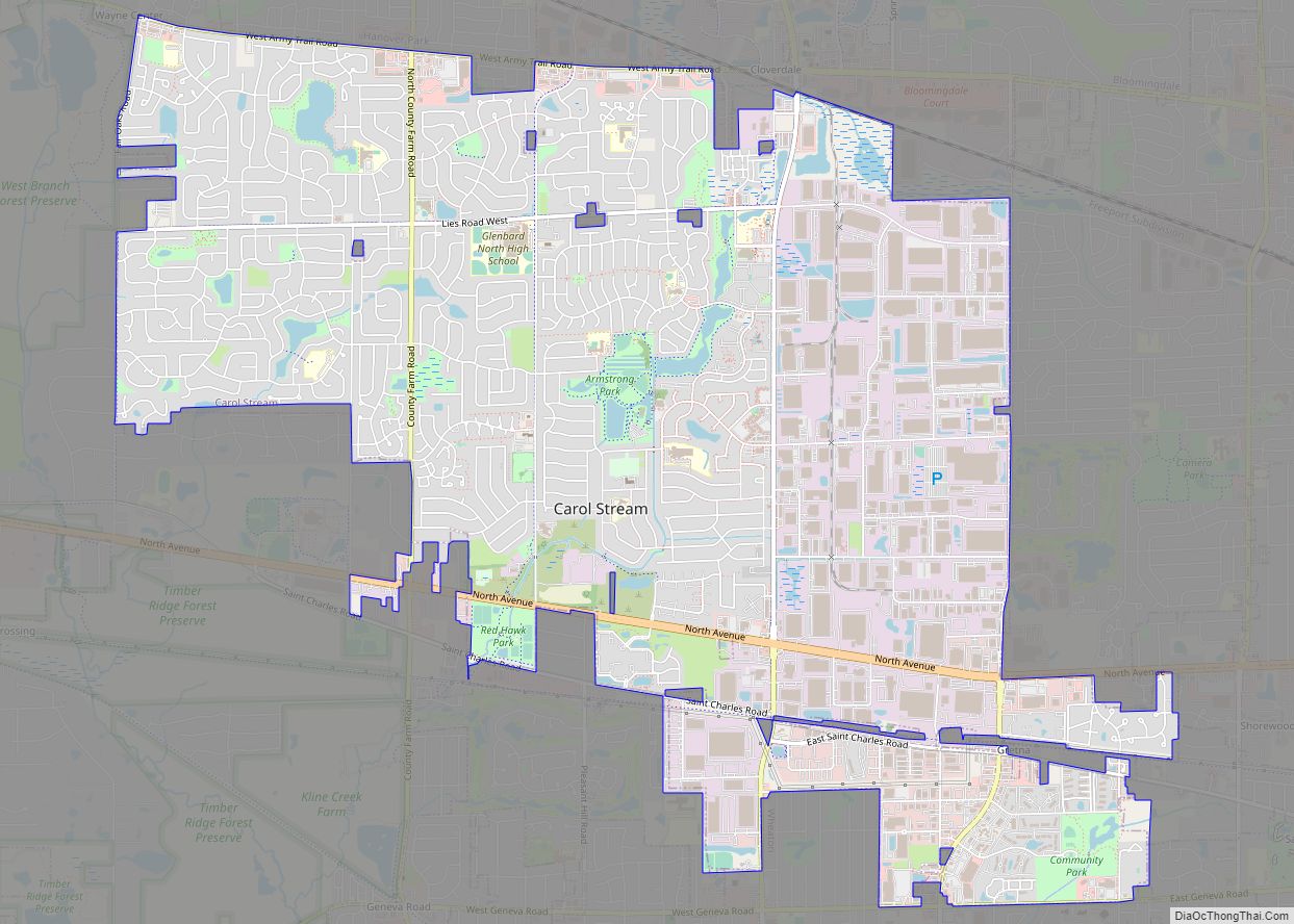
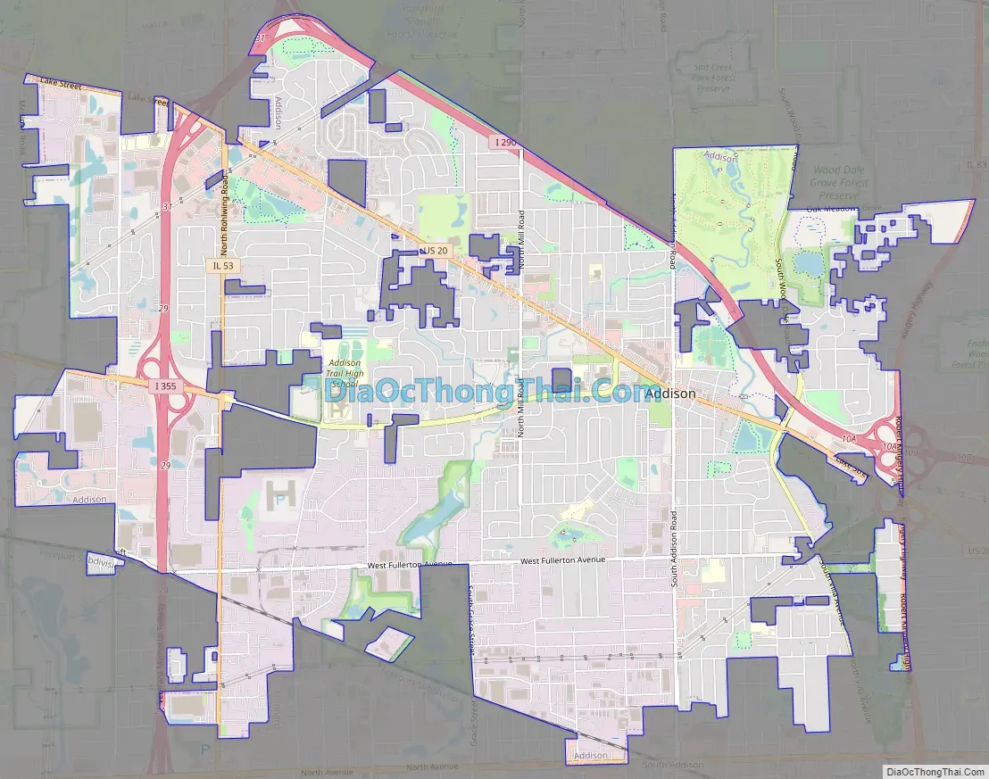
Addison Road Map
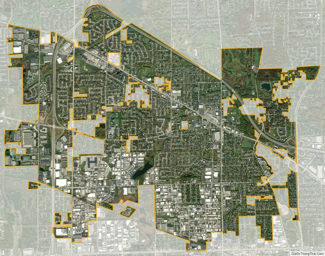
Addison city Satellite Map
Geography
The Village of Addison lies on Salt Creek, a tributary of the Des Plaines River.
According to the 2021 census gazetteer files, Addison has a total area of 10.00 square miles (25.90 km), of which 9.83 square miles (25.46 km) (or 98.29%) is land and 0.17 square miles (0.44 km) (or 1.71%) is water.
See also
Map of Illinois State and its subdivision:- Adams
- Alexander
- Bond
- Boone
- Brown
- Bureau
- Calhoun
- Carroll
- Cass
- Champaign
- Christian
- Clark
- Clay
- Clinton
- Coles
- Cook
- Crawford
- Cumberland
- De Kalb
- De Witt
- Douglas
- Dupage
- Edgar
- Edwards
- Effingham
- Fayette
- Ford
- Franklin
- Fulton
- Gallatin
- Greene
- Grundy
- Hamilton
- Hancock
- Hardin
- Henderson
- Henry
- Iroquois
- Jackson
- Jasper
- Jefferson
- Jersey
- Jo Daviess
- Johnson
- Kane
- Kankakee
- Kendall
- Knox
- La Salle
- Lake
- Lake Michigan
- Lawrence
- Lee
- Livingston
- Logan
- Macon
- Macoupin
- Madison
- Marion
- Marshall
- Mason
- Massac
- McDonough
- McHenry
- McLean
- Menard
- Mercer
- Monroe
- Montgomery
- Morgan
- Moultrie
- Ogle
- Peoria
- Perry
- Piatt
- Pike
- Pope
- Pulaski
- Putnam
- Randolph
- Richland
- Rock Island
- Saint Clair
- Saline
- Sangamon
- Schuyler
- Scott
- Shelby
- Stark
- Stephenson
- Tazewell
- Union
- Vermilion
- Wabash
- Warren
- Washington
- Wayne
- White
- Whiteside
- Will
- Williamson
- Winnebago
- Woodford
- Alabama
- Alaska
- Arizona
- Arkansas
- California
- Colorado
- Connecticut
- Delaware
- District of Columbia
- Florida
- Georgia
- Hawaii
- Idaho
- Illinois
- Indiana
- Iowa
- Kansas
- Kentucky
- Louisiana
- Maine
- Maryland
- Massachusetts
- Michigan
- Minnesota
- Mississippi
- Missouri
- Montana
- Nebraska
- Nevada
- New Hampshire
- New Jersey
- New Mexico
- New York
- North Carolina
- North Dakota
- Ohio
- Oklahoma
- Oregon
- Pennsylvania
- Rhode Island
- South Carolina
- South Dakota
- Tennessee
- Texas
- Utah
- Vermont
- Virginia
- Washington
- West Virginia
- Wisconsin
- Wyoming