Amboy is a city in Lee County, Illinois, United States, along the Green River. The population was 2,500 at the 2010 census. The chain of Carson Pirie Scott & Co. began in Amboy when Samuel Carson opened his first dry goods store there in 1854. The Christian denomination Community of Christ, formerly the Reorganized Church of Jesus Christ of Latter Day Saints, had a general conference in Amboy on April 6, 1860, at which time Joseph Smith III reorganized the church founded by his father Joseph Smith, Jr.
| Name: | Amboy city |
|---|---|
| LSAD Code: | 25 |
| LSAD Description: | city (suffix) |
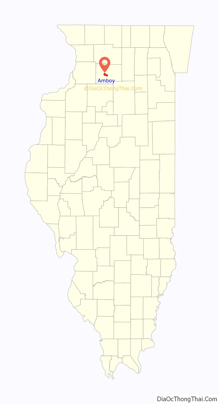
| State: | Illinois |
| County: | Lee County |
| Total Area: | 6.21 sq mi (16.09 km²) |
| Land Area: | 6.21 sq mi (16.09 km²) |
| Water Area: | 0.00 sq mi (0.00 km²) |
| Total Population: | 2,278 |
| Population Density: | 366.77/sq mi (141.61/km²) |
| FIPS code: | 1701270 |
| Website: | cityofamboy.com |
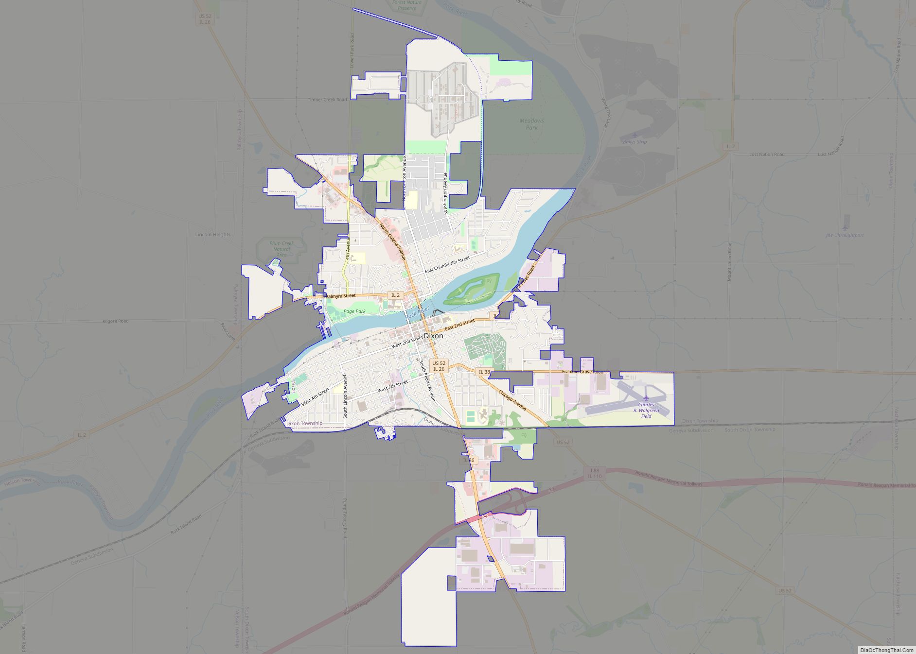
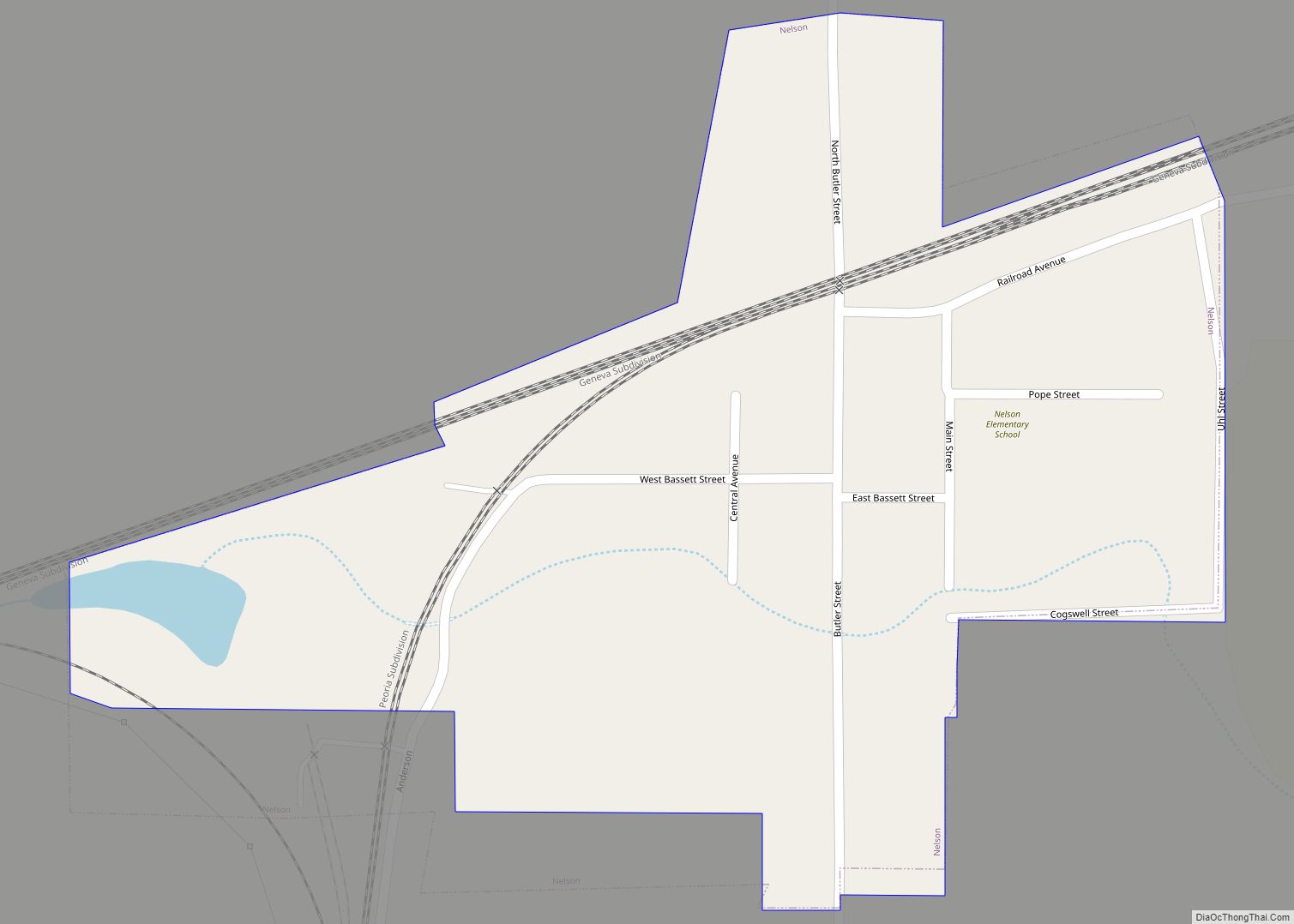
Online Interactive Map
Click on ![]() to view map in "full screen" mode.
to view map in "full screen" mode.
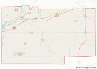
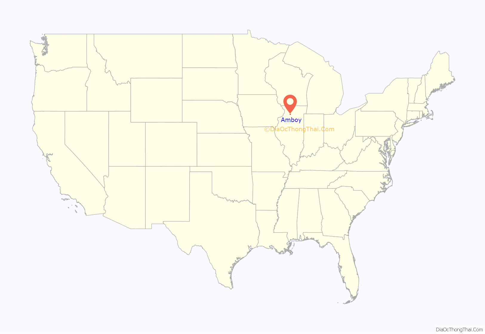
Amboy location map. Where is Amboy city?
History
Amboy had its start in the 1850s when the Illinois Central Railroad was extended to that point. The community’s name is a transfer from Amboy, New Jersey.
The Illinois Central facility in Amboy served as the railroad’s division headquarters for the railroad’s region. The building was saved from demolition and is a museum. The actual railroad and trainyard were abandoned and removed in the early 90’s.
Amboy was the site of an ammunition factory for World War II – The Green River Ordinance Plant. It was roughly bordered by Sterling Rd to the south, Bataan Rd to the East, and Bataan Rd. to the North and West of the facility. The facility employed 4500 people at one time. The facility was completed on Dec. 15, 1942 and used until VJ day in August 1945.
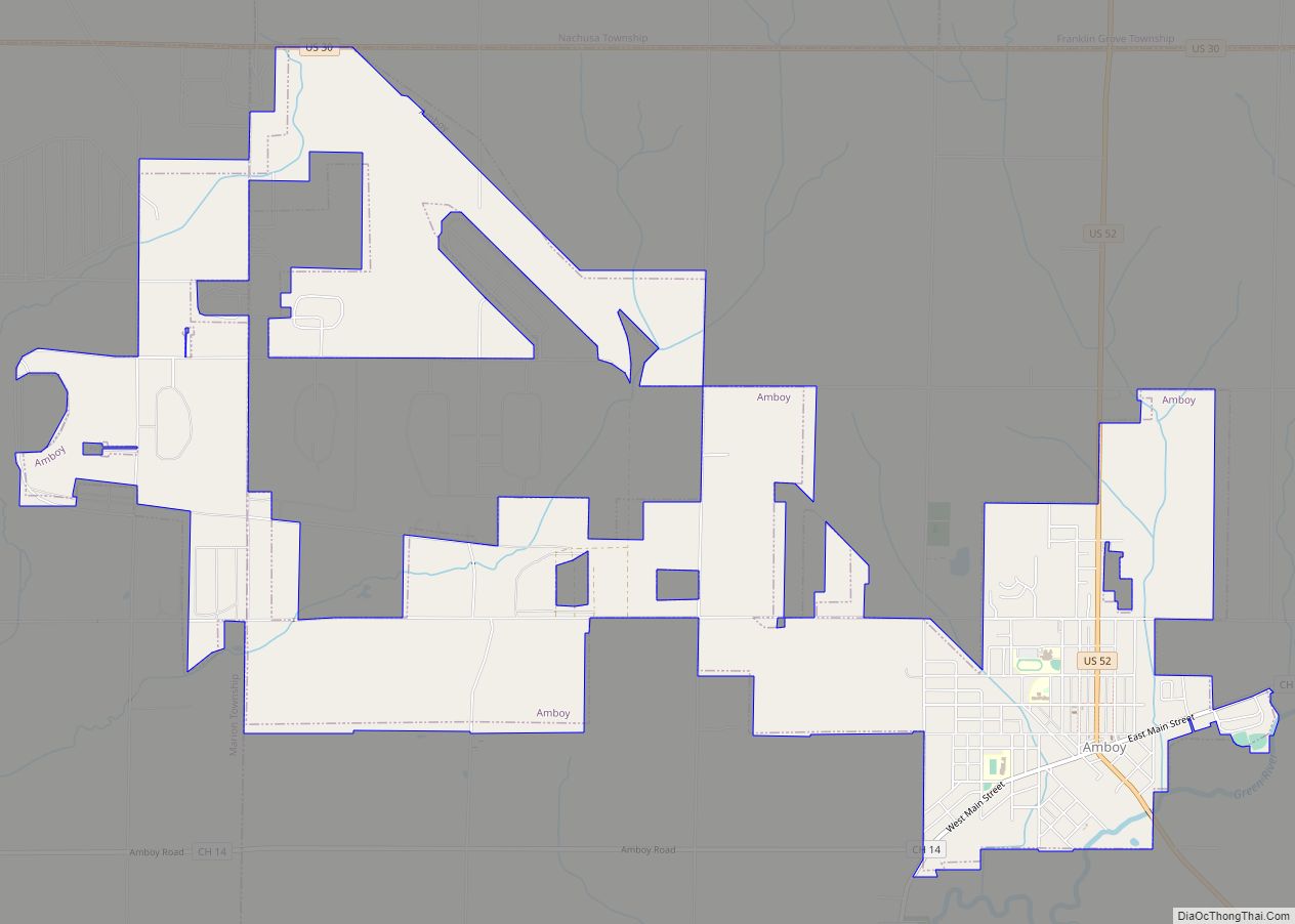
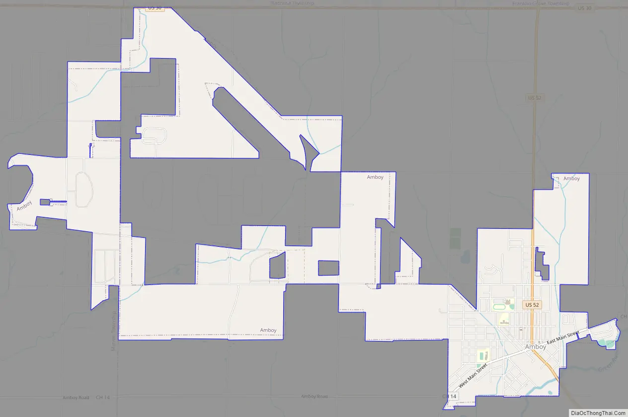
Amboy Road Map
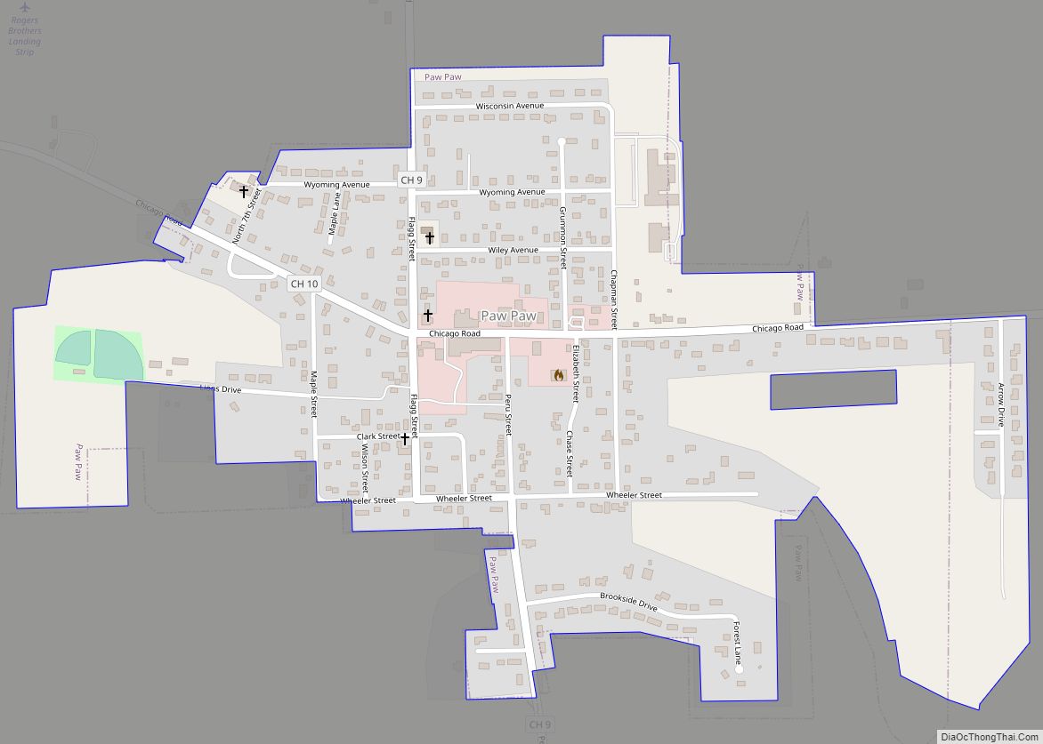
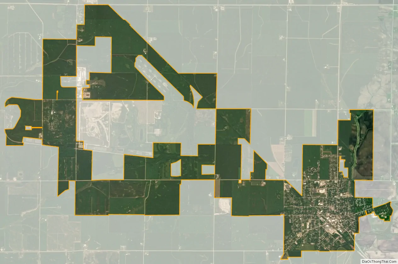
Amboy city Satellite Map
Geography
Amboy is located at 41°42′52″N 89°19′58″W / 41.71444°N 89.33278°W / 41.71444; -89.33278 (41.714411, -89.332671).
According to the 2010 census, Amboy has a total area of 6.29 square miles (16.29 km), all land.
See also
Map of Illinois State and its subdivision:- Adams
- Alexander
- Bond
- Boone
- Brown
- Bureau
- Calhoun
- Carroll
- Cass
- Champaign
- Christian
- Clark
- Clay
- Clinton
- Coles
- Cook
- Crawford
- Cumberland
- De Kalb
- De Witt
- Douglas
- Dupage
- Edgar
- Edwards
- Effingham
- Fayette
- Ford
- Franklin
- Fulton
- Gallatin
- Greene
- Grundy
- Hamilton
- Hancock
- Hardin
- Henderson
- Henry
- Iroquois
- Jackson
- Jasper
- Jefferson
- Jersey
- Jo Daviess
- Johnson
- Kane
- Kankakee
- Kendall
- Knox
- La Salle
- Lake
- Lake Michigan
- Lawrence
- Lee
- Livingston
- Logan
- Macon
- Macoupin
- Madison
- Marion
- Marshall
- Mason
- Massac
- McDonough
- McHenry
- McLean
- Menard
- Mercer
- Monroe
- Montgomery
- Morgan
- Moultrie
- Ogle
- Peoria
- Perry
- Piatt
- Pike
- Pope
- Pulaski
- Putnam
- Randolph
- Richland
- Rock Island
- Saint Clair
- Saline
- Sangamon
- Schuyler
- Scott
- Shelby
- Stark
- Stephenson
- Tazewell
- Union
- Vermilion
- Wabash
- Warren
- Washington
- Wayne
- White
- Whiteside
- Will
- Williamson
- Winnebago
- Woodford
- Alabama
- Alaska
- Arizona
- Arkansas
- California
- Colorado
- Connecticut
- Delaware
- District of Columbia
- Florida
- Georgia
- Hawaii
- Idaho
- Illinois
- Indiana
- Iowa
- Kansas
- Kentucky
- Louisiana
- Maine
- Maryland
- Massachusetts
- Michigan
- Minnesota
- Mississippi
- Missouri
- Montana
- Nebraska
- Nevada
- New Hampshire
- New Jersey
- New Mexico
- New York
- North Carolina
- North Dakota
- Ohio
- Oklahoma
- Oregon
- Pennsylvania
- Rhode Island
- South Carolina
- South Dakota
- Tennessee
- Texas
- Utah
- Vermont
- Virginia
- Washington
- West Virginia
- Wisconsin
- Wyoming