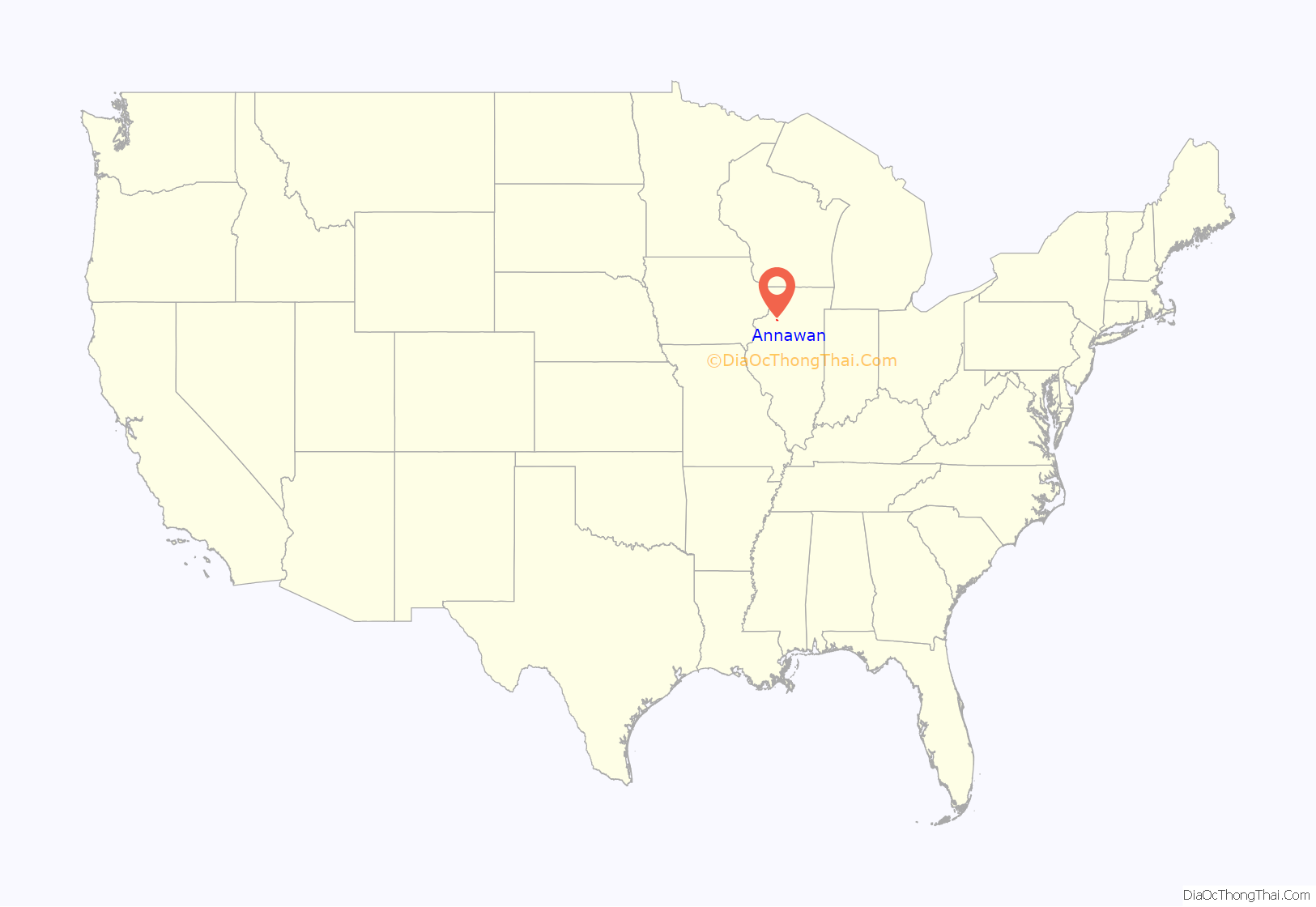
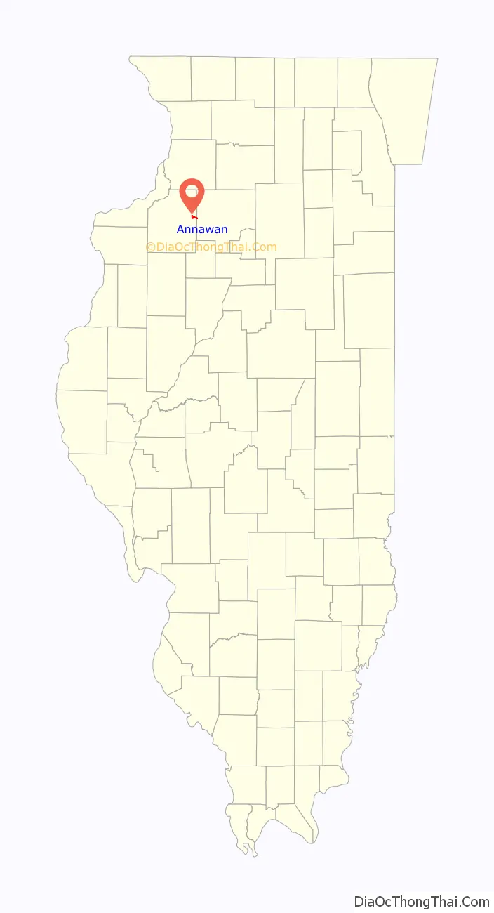
Annawan is an incorporated town in Henry County, Illinois, United States. The population was 878 at the 2010 census.
| Name: | Annawan town |
|---|---|
| LSAD Code: | 43 |
| LSAD Description: | town (suffix) |
| State: | Illinois |
| County: | Bureau County, Henry County |
| Incorporated: | March 31, 1869 (1869-03-31) |
| Elevation: | 646 ft (197 m) |
| Total Area: | 2.14 sq mi (5.55 km²) |
| Land Area: | 2.14 sq mi (5.55 km²) |
| Water Area: | 0.00 sq mi (0.00 km²) |
| Total Population: | 884 |
| Population Density: | 412.70/sq mi (159.33/km²) |
| Area code: | 309 |
| FIPS code: | 1701569 |
| Website: | www.annawanil.org |
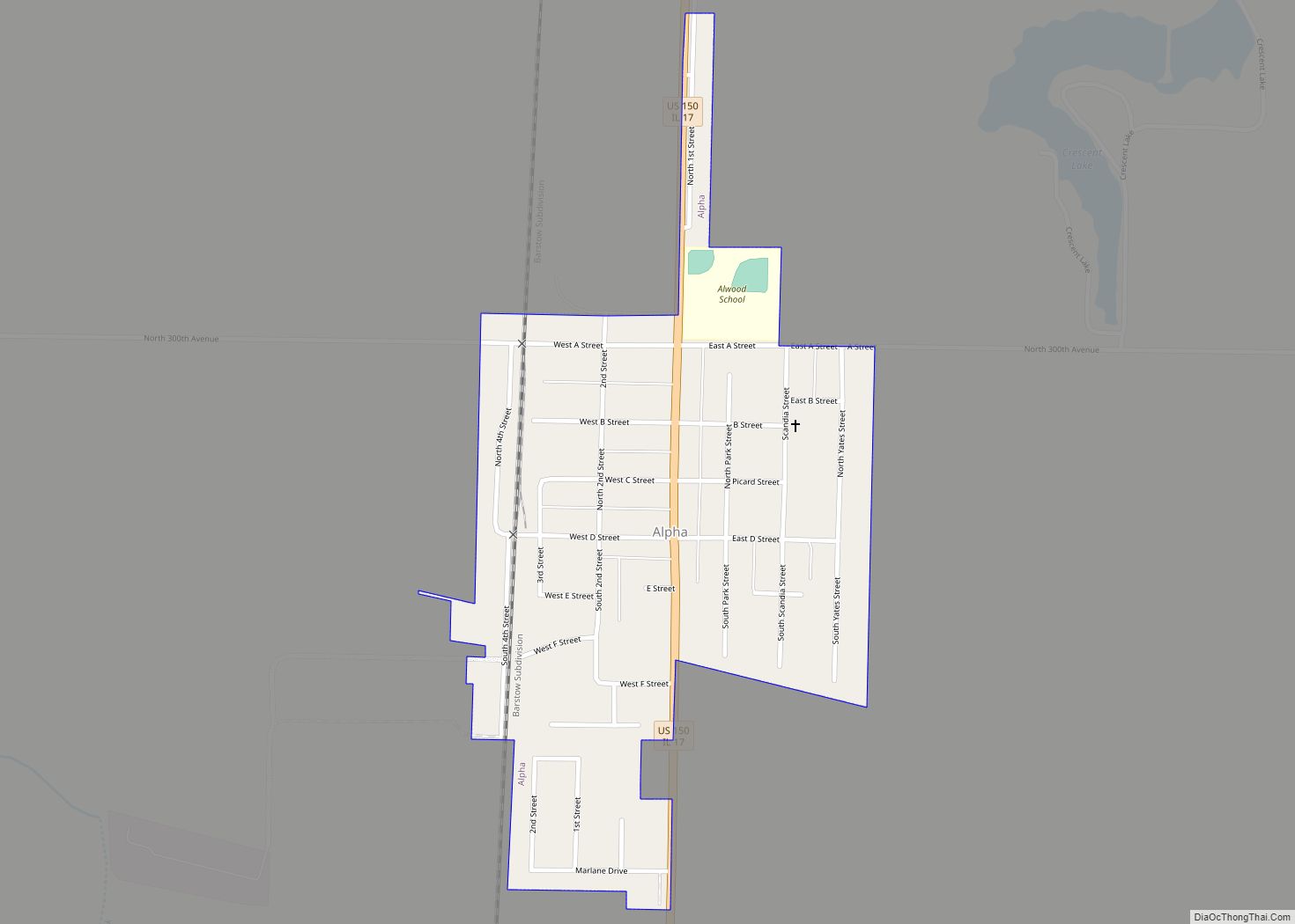
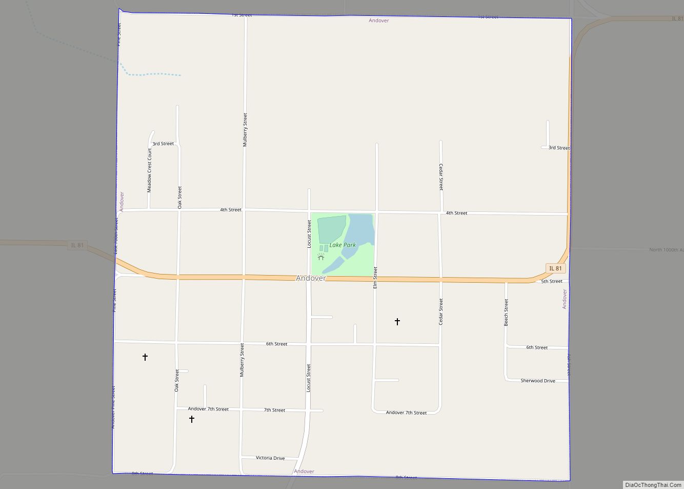
Online Interactive Map
Click on ![]() to view map in "full screen" mode.
to view map in "full screen" mode.
Annawan location map. Where is Annawan town?
History
Daniel Morton came to the area in 1846 and built the first log cabin. Gilbert Morton was the first child born here that year to Daniel and his wife Sarah. The following year a schoolhouse was built on the Morton property. The land the Mortons found was a swampy marsh to the north with higher ground to the south. Mud Creek meandered through the area and Green River paralleled the current Interstate 80 to the north.
In 1850, a survey of the right-of-way for the Chicago, Rock Island and Pacific Railroad was made through Henry County. The selected route passed through the area inhabited by the Mortons and a few fellow pioneer families. In 1853, when the railroad was almost complete, Charles Atkinson and James Grant, owners of the land adjoining the railroad, plotted the town of Annawan. The town of Annawan, which some say was named after a Winnebago Indian Chief, was born.
At the turn of the twentieth century, a new channel of Green River was developed, drainage ditches were completed and tile installed. This allowed the marsh north of Annawan to become productive farmland.
With the completion of Interstate 80 through Henry County in the 1960s, Annawan began to grow at a steady pace, with various services such as restaurants and gas stations appearing along the interstate. By the dawn of the 21st century, several projects were planned in Annawan. The North Meadow subdivision was completed in the early 2000s as a community for retirees with a community center at the center of the development. A new interstate side hotel was also completed just off Canal Street adjacent to Interstate 80. Midway through the decade plans for an ethanol plant were made.
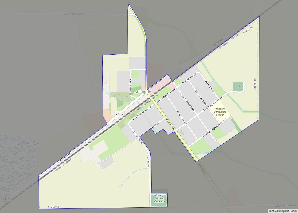
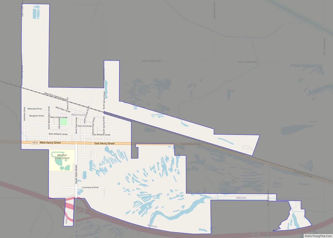
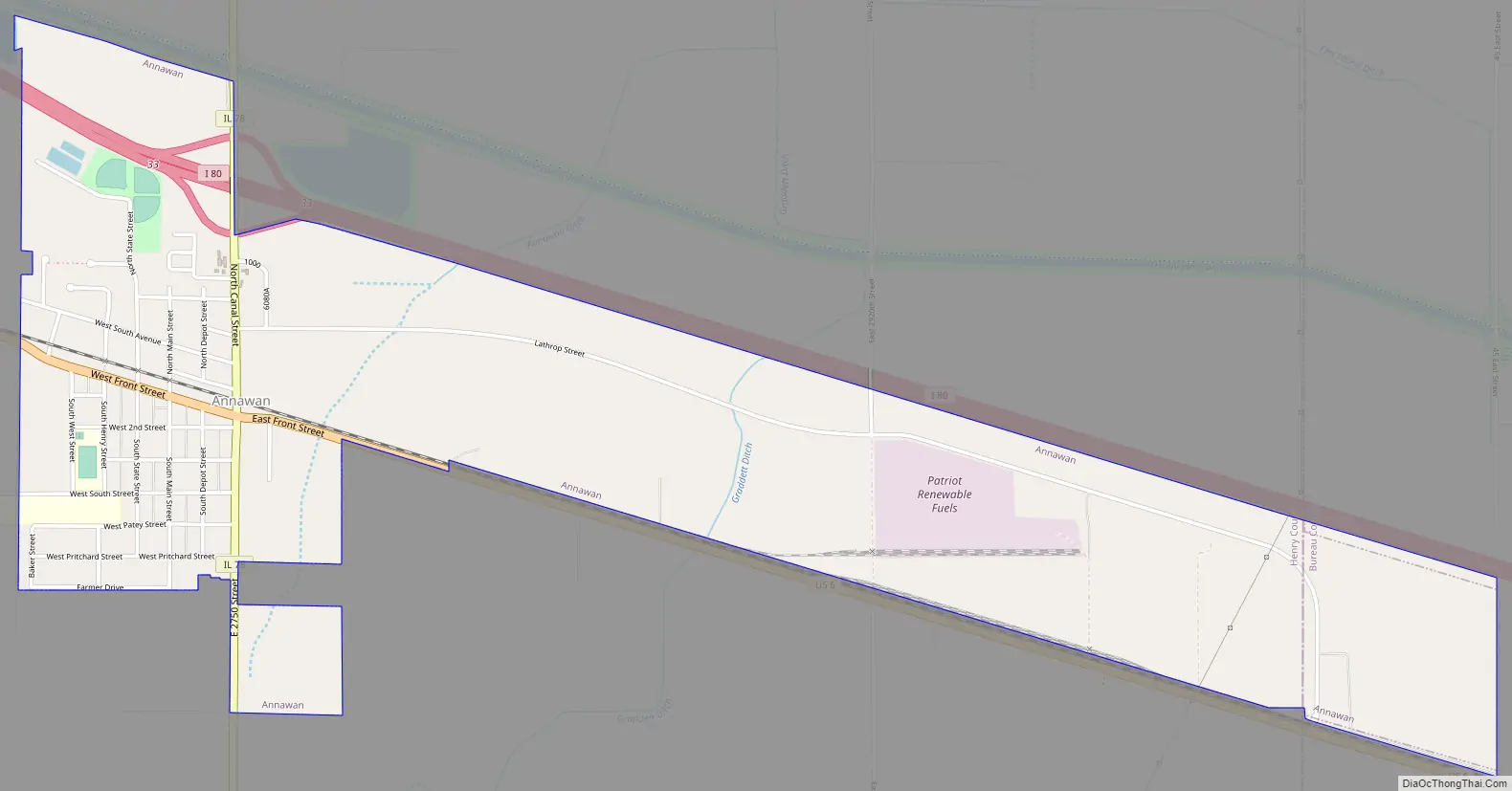
Annawan Road Map
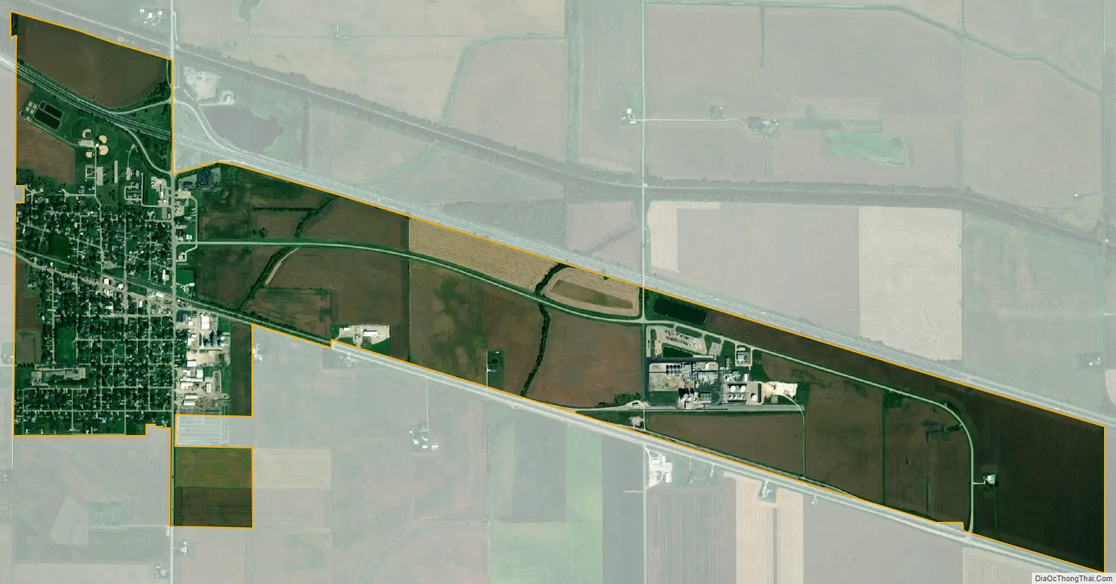
Annawan city Satellite Map
Geography
Annawan is located at 41°23′50″N 89°54′32″W / 41.39722°N 89.90889°W / 41.39722; -89.90889 (41.397094, -89.908893).
According to the 2010 census, Annawan has a total area of 1.98 square miles (5.13 km), all land.
See also
Map of Illinois State and its subdivision:- Adams
- Alexander
- Bond
- Boone
- Brown
- Bureau
- Calhoun
- Carroll
- Cass
- Champaign
- Christian
- Clark
- Clay
- Clinton
- Coles
- Cook
- Crawford
- Cumberland
- De Kalb
- De Witt
- Douglas
- Dupage
- Edgar
- Edwards
- Effingham
- Fayette
- Ford
- Franklin
- Fulton
- Gallatin
- Greene
- Grundy
- Hamilton
- Hancock
- Hardin
- Henderson
- Henry
- Iroquois
- Jackson
- Jasper
- Jefferson
- Jersey
- Jo Daviess
- Johnson
- Kane
- Kankakee
- Kendall
- Knox
- La Salle
- Lake
- Lake Michigan
- Lawrence
- Lee
- Livingston
- Logan
- Macon
- Macoupin
- Madison
- Marion
- Marshall
- Mason
- Massac
- McDonough
- McHenry
- McLean
- Menard
- Mercer
- Monroe
- Montgomery
- Morgan
- Moultrie
- Ogle
- Peoria
- Perry
- Piatt
- Pike
- Pope
- Pulaski
- Putnam
- Randolph
- Richland
- Rock Island
- Saint Clair
- Saline
- Sangamon
- Schuyler
- Scott
- Shelby
- Stark
- Stephenson
- Tazewell
- Union
- Vermilion
- Wabash
- Warren
- Washington
- Wayne
- White
- Whiteside
- Will
- Williamson
- Winnebago
- Woodford
- Alabama
- Alaska
- Arizona
- Arkansas
- California
- Colorado
- Connecticut
- Delaware
- District of Columbia
- Florida
- Georgia
- Hawaii
- Idaho
- Illinois
- Indiana
- Iowa
- Kansas
- Kentucky
- Louisiana
- Maine
- Maryland
- Massachusetts
- Michigan
- Minnesota
- Mississippi
- Missouri
- Montana
- Nebraska
- Nevada
- New Hampshire
- New Jersey
- New Mexico
- New York
- North Carolina
- North Dakota
- Ohio
- Oklahoma
- Oregon
- Pennsylvania
- Rhode Island
- South Carolina
- South Dakota
- Tennessee
- Texas
- Utah
- Vermont
- Virginia
- Washington
- West Virginia
- Wisconsin
- Wyoming