Beardstown is a city in Cass County, Illinois, United States. The population was 5,951 at the 2020 census. The public schools are in Beardstown Community Unit School District 15.
| Name: | Beardstown city |
|---|---|
| LSAD Code: | 25 |
| LSAD Description: | city (suffix) |
| State: | Illinois |
| County: | Cass County |
| Elevation: | 446 ft (136 m) |
| Total Area: | 3.65 sq mi (9.45 km²) |
| Land Area: | 3.62 sq mi (9.37 km²) |
| Water Area: | 0.03 sq mi (0.07 km²) |
| Total Population: | 5,951 |
| Area code: | 217 |
| FIPS code: | 1704351 |
| GNISfeature ID: | 2394096 |
| Website: | http://cityofbeardstown.org/ |
Online Interactive Map
Click on ![]() to view map in "full screen" mode.
to view map in "full screen" mode.
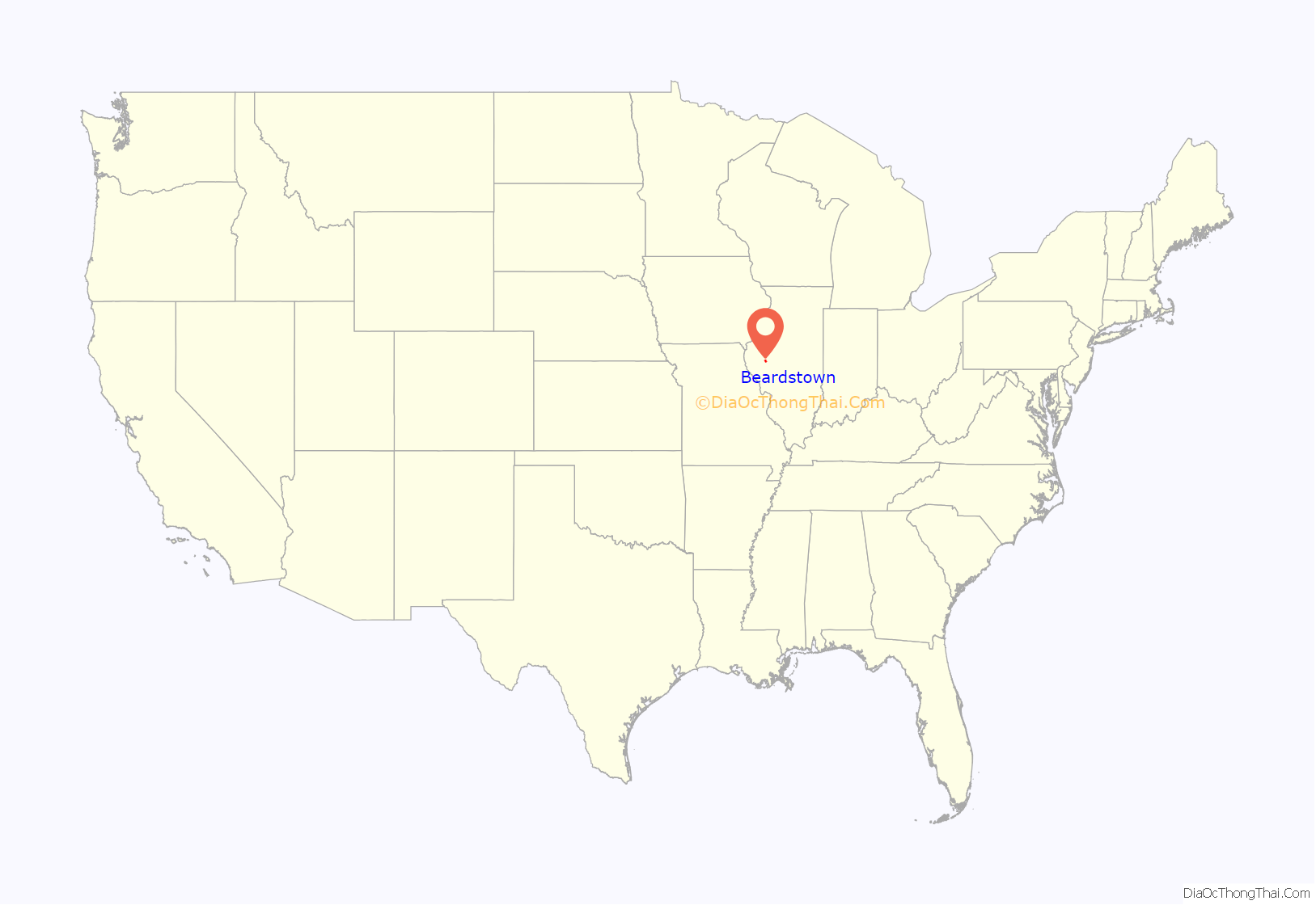
Beardstown location map. Where is Beardstown city?
History
Beardstown was first settled by Thomas Beard in 1819; he erected a log cabin at the edge of the Illinois River, from which he traded with the local Native Americans and ran a ferry. The town was laid out in 1827 and was incorporated as a city in 1896. During the Black Hawk War in 1832, it was a base of supplies for the Illinois troops.
Thomas Beard’s son, Edward “Red” Beard, a noted gambler and saloon keeper of the Old West, was killed in a gunfight in Kansas in 1873 by “Rowdy Joe” Lowe. Earlier, he had built a two-story brick building which was used for 85 years as a store and inn. This inn is alleged to have sheltered Abraham Lincoln on his visits to Beardstown, but that is legend and unconfirmed. The building was demolished and replaced by a post office. William Henry Herndon, Lincoln’s Springfield law partner, claimed that Lincoln contracted syphilis from a prostitute in Beardstown, an incident author Gore Vidal colorfully recounts in his historical novel Lincoln (1984).
The Beardstown Courthouse was the site of a famous trial which helped build Abraham Lincoln’s reputation as a lawyer after he used a copy of a farmer’s almanac to undermine the credibility of the prosecution’s key witness. The scene was later depicted in a painting by Norman Rockwell. A Lincoln Museum is on the second floor of the courthouse along with many Native American relics.
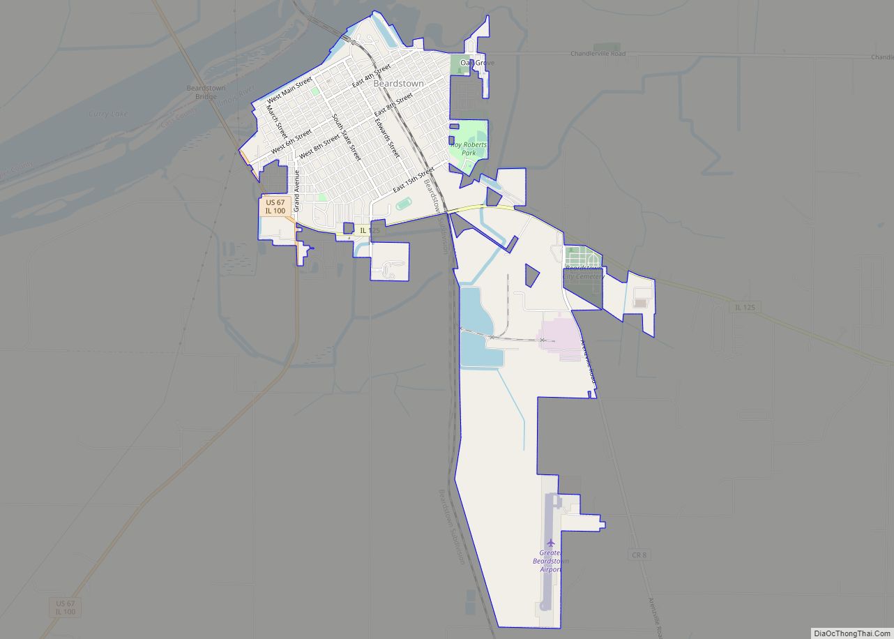
Beardstown Road Map
Beardstown city Satellite Map
Geography
Beardstown is located on the Illinois River.
According to the 2021 census gazetteer files, Beardstown has a total area of 3.65 square miles (9.45 km), of which 3.62 square miles (9.38 km) (or 99.21%) is land and 0.03 square miles (0.08 km) (or 0.79%) is water.
See also
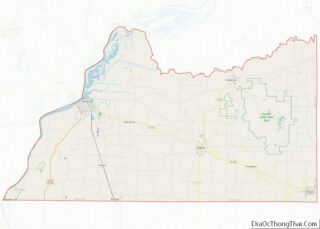
Map of Illinois State and its subdivision:- Adams
- Alexander
- Bond
- Boone
- Brown
- Bureau
- Calhoun
- Carroll
- Cass
- Champaign
- Christian
- Clark
- Clay
- Clinton
- Coles
- Cook
- Crawford
- Cumberland
- De Kalb
- De Witt
- Douglas
- Dupage
- Edgar
- Edwards
- Effingham
- Fayette
- Ford
- Franklin
- Fulton
- Gallatin
- Greene
- Grundy
- Hamilton
- Hancock
- Hardin
- Henderson
- Henry
- Iroquois
- Jackson
- Jasper
- Jefferson
- Jersey
- Jo Daviess
- Johnson
- Kane
- Kankakee
- Kendall
- Knox
- La Salle
- Lake
- Lake Michigan
- Lawrence
- Lee
- Livingston
- Logan
- Macon
- Macoupin
- Madison
- Marion
- Marshall
- Mason
- Massac
- McDonough
- McHenry
- McLean
- Menard
- Mercer
- Monroe
- Montgomery
- Morgan
- Moultrie
- Ogle
- Peoria
- Perry
- Piatt
- Pike
- Pope
- Pulaski
- Putnam
- Randolph
- Richland
- Rock Island
- Saint Clair
- Saline
- Sangamon
- Schuyler
- Scott
- Shelby
- Stark
- Stephenson
- Tazewell
- Union
- Vermilion
- Wabash
- Warren
- Washington
- Wayne
- White
- Whiteside
- Will
- Williamson
- Winnebago
- Woodford
- Alabama
- Alaska
- Arizona
- Arkansas
- California
- Colorado
- Connecticut
- Delaware
- District of Columbia
- Florida
- Georgia
- Hawaii
- Idaho
- Illinois
- Indiana
- Iowa
- Kansas
- Kentucky
- Louisiana
- Maine
- Maryland
- Massachusetts
- Michigan
- Minnesota
- Mississippi
- Missouri
- Montana
- Nebraska
- Nevada
- New Hampshire
- New Jersey
- New Mexico
- New York
- North Carolina
- North Dakota
- Ohio
- Oklahoma
- Oregon
- Pennsylvania
- Rhode Island
- South Carolina
- South Dakota
- Tennessee
- Texas
- Utah
- Vermont
- Virginia
- Washington
- West Virginia
- Wisconsin
- Wyoming
