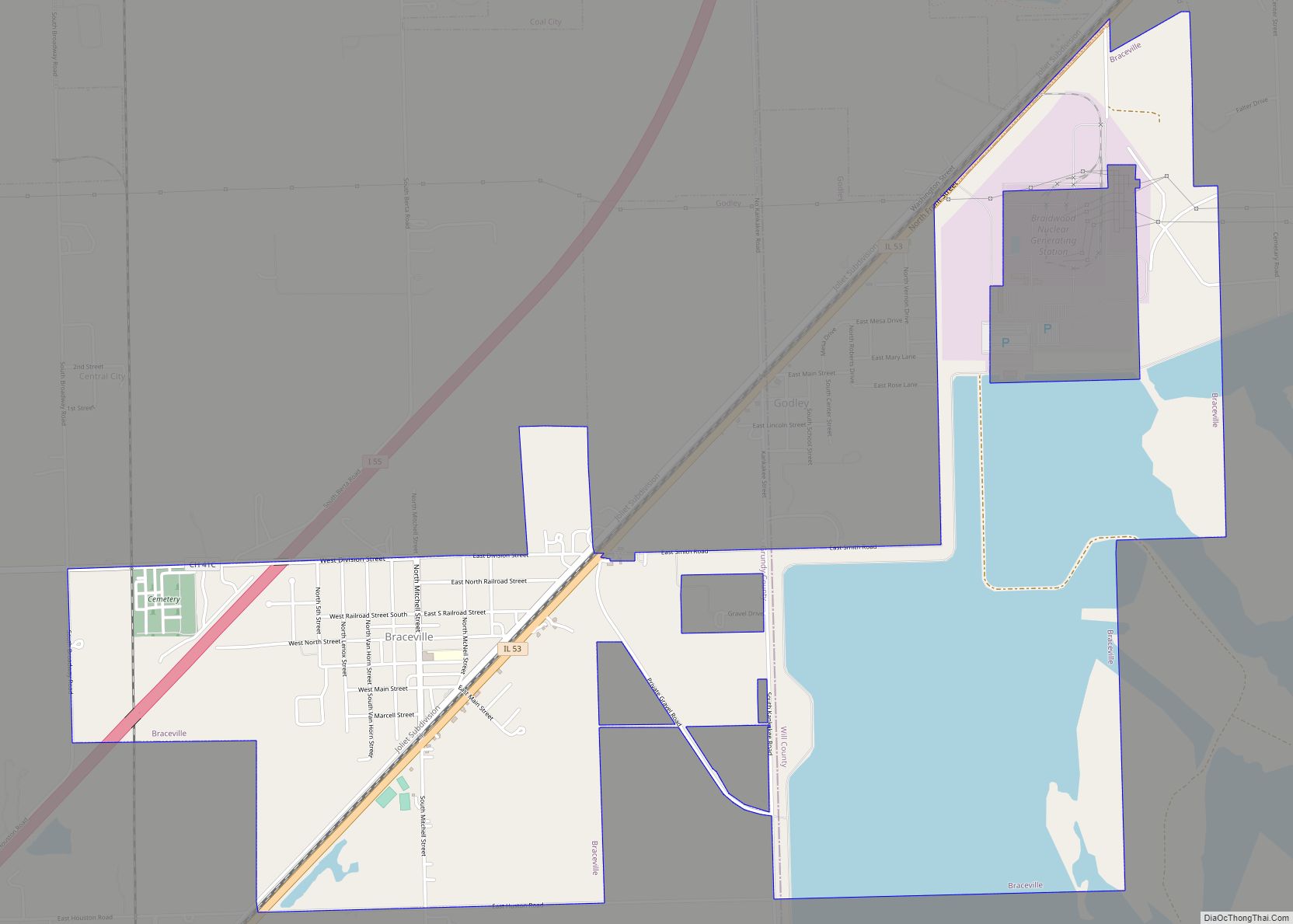
Braceville is a village in Will County, Illinois, United States, with a portion in Grundy County. The population was 793 at the 2010 census.
| Name: | Braceville village |
|---|---|
| LSAD Code: | 47 |
| LSAD Description: | village (suffix) |
| State: | Illinois |
| County: | Grundy County, Will County |
| Total Area: | 3.34 sq mi (8.65 km²) |
| Land Area: | 3.11 sq mi (8.06 km²) |
| Water Area: | 0.23 sq mi (0.59 km²) |
| Total Population: | 724 |
| Population Density: | 232.72/sq mi (89.85/km²) |
| Area code: | 815 & 779 |
| FIPS code: | 1707640 |
Online Interactive Map
Click on ![]() to view map in "full screen" mode.
to view map in "full screen" mode.
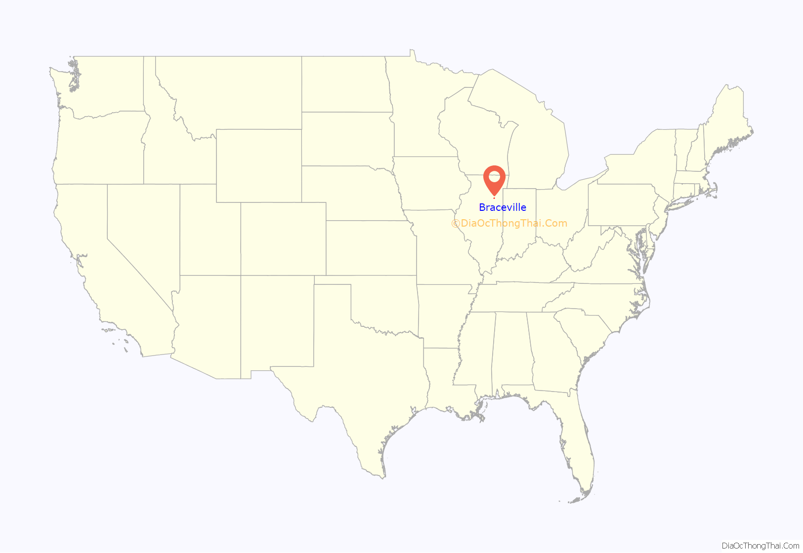
Braceville location map. Where is Braceville village?
History
Braceville was founded under the name “Sulphur Springs” by Reverend L. S. Robbins in 1834. In 1848, after Robbin’s death, the town elected its first official supervisor, B. R. Dowd, who changed the name to Braceville after his home town of Braceville, Ohio. When coal was discovered in the region, residents became interested in the mining industry. However, no mines have ever been opened, and gradually, the town shifted its focus on other industries. The population has fluctuated over time, but is now growing at a steady rate.
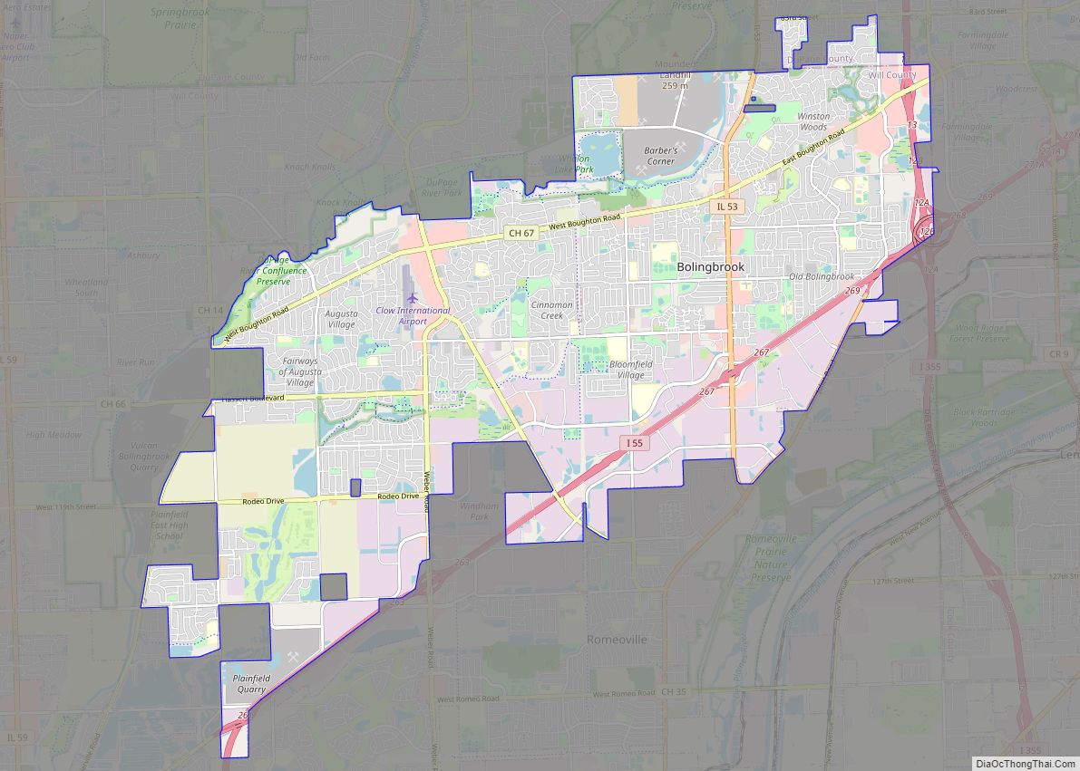
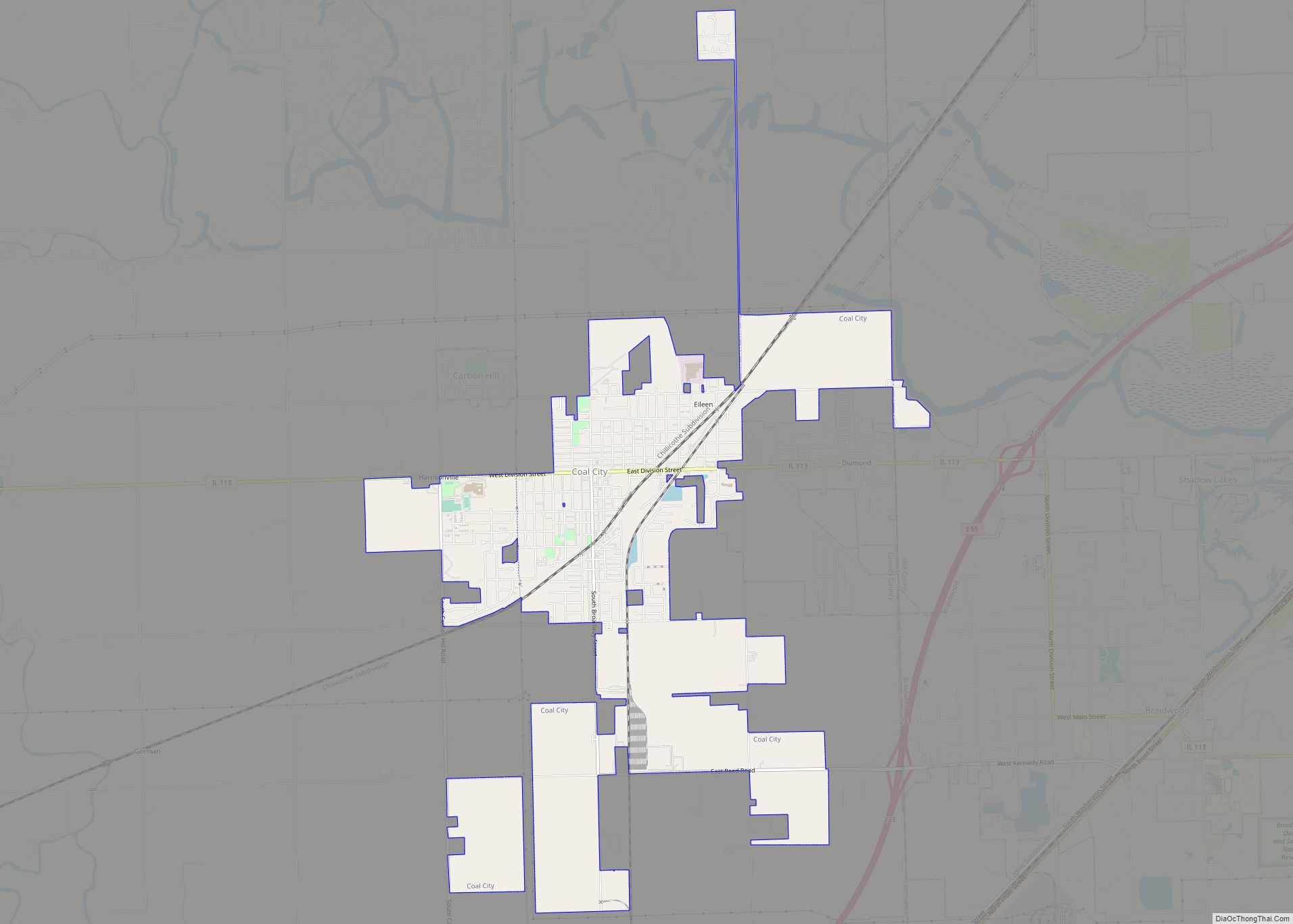
Braceville Road Map
Braceville city Satellite Map
Geography
Braceville is located at 41°13′35″N 88°15′55″W / 41.22639°N 88.26528°W / 41.22639; -88.26528 (41.226340, -88.265141). According to the 2010 census, Braceville has a total area of 2.874 square miles (7.44 km), of which 2.81 square miles (7.28 km) (or 97.77%) is land and 0.064 square miles (0.17 km) (or 2.23%) is water.
See also
Map of Illinois State and its subdivision:- Adams
- Alexander
- Bond
- Boone
- Brown
- Bureau
- Calhoun
- Carroll
- Cass
- Champaign
- Christian
- Clark
- Clay
- Clinton
- Coles
- Cook
- Crawford
- Cumberland
- De Kalb
- De Witt
- Douglas
- Dupage
- Edgar
- Edwards
- Effingham
- Fayette
- Ford
- Franklin
- Fulton
- Gallatin
- Greene
- Grundy
- Hamilton
- Hancock
- Hardin
- Henderson
- Henry
- Iroquois
- Jackson
- Jasper
- Jefferson
- Jersey
- Jo Daviess
- Johnson
- Kane
- Kankakee
- Kendall
- Knox
- La Salle
- Lake
- Lake Michigan
- Lawrence
- Lee
- Livingston
- Logan
- Macon
- Macoupin
- Madison
- Marion
- Marshall
- Mason
- Massac
- McDonough
- McHenry
- McLean
- Menard
- Mercer
- Monroe
- Montgomery
- Morgan
- Moultrie
- Ogle
- Peoria
- Perry
- Piatt
- Pike
- Pope
- Pulaski
- Putnam
- Randolph
- Richland
- Rock Island
- Saint Clair
- Saline
- Sangamon
- Schuyler
- Scott
- Shelby
- Stark
- Stephenson
- Tazewell
- Union
- Vermilion
- Wabash
- Warren
- Washington
- Wayne
- White
- Whiteside
- Will
- Williamson
- Winnebago
- Woodford
- Alabama
- Alaska
- Arizona
- Arkansas
- California
- Colorado
- Connecticut
- Delaware
- District of Columbia
- Florida
- Georgia
- Hawaii
- Idaho
- Illinois
- Indiana
- Iowa
- Kansas
- Kentucky
- Louisiana
- Maine
- Maryland
- Massachusetts
- Michigan
- Minnesota
- Mississippi
- Missouri
- Montana
- Nebraska
- Nevada
- New Hampshire
- New Jersey
- New Mexico
- New York
- North Carolina
- North Dakota
- Ohio
- Oklahoma
- Oregon
- Pennsylvania
- Rhode Island
- South Carolina
- South Dakota
- Tennessee
- Texas
- Utah
- Vermont
- Virginia
- Washington
- West Virginia
- Wisconsin
- Wyoming
