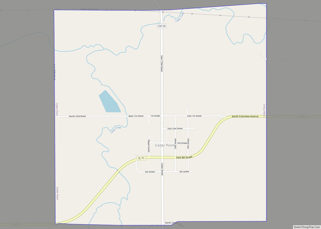
Cedar Point is a village in LaSalle County, Illinois, United States. The population was 266 at the 2020 census, down from 277 at the 2010 census. It is part of the Ottawa Micropolitan Statistical Area. North of town was the Cedar Point Mine, which operated from 1906 to 1924.
| Name: | Cedar Point village |
|---|---|
| LSAD Code: | 47 |
| LSAD Description: | village (suffix) |
| State: | Illinois |
| County: | LaSalle County |
| Elevation: | 653 ft (199 m) |
| Total Area: | 1.02 sq mi (2.64 km²) |
| Land Area: | 1.02 sq mi (2.64 km²) |
| Water Area: | 0.00 sq mi (0.00 km²) |
| Total Population: | 266 |
| Population Density: | 260.53/sq mi (100.59/km²) |
| Area code: | 815 |
| FIPS code: | 1711982 |
| GNISfeature ID: | 2397582 |
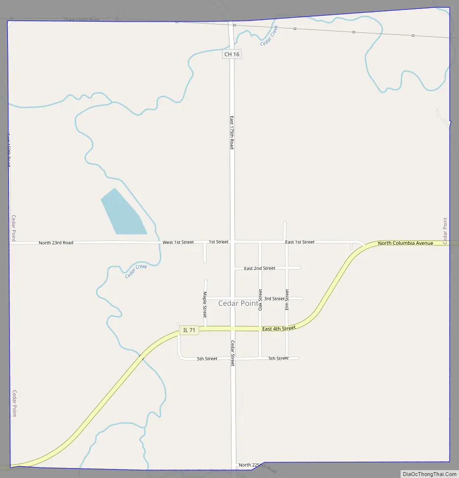
Online Interactive Map
Click on ![]() to view map in "full screen" mode.
to view map in "full screen" mode.
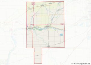
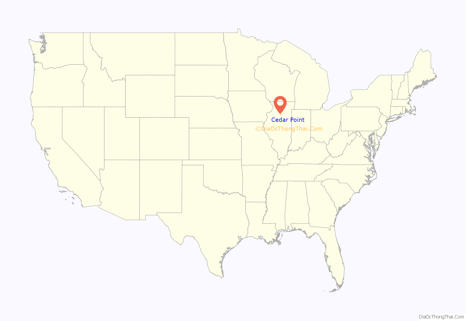
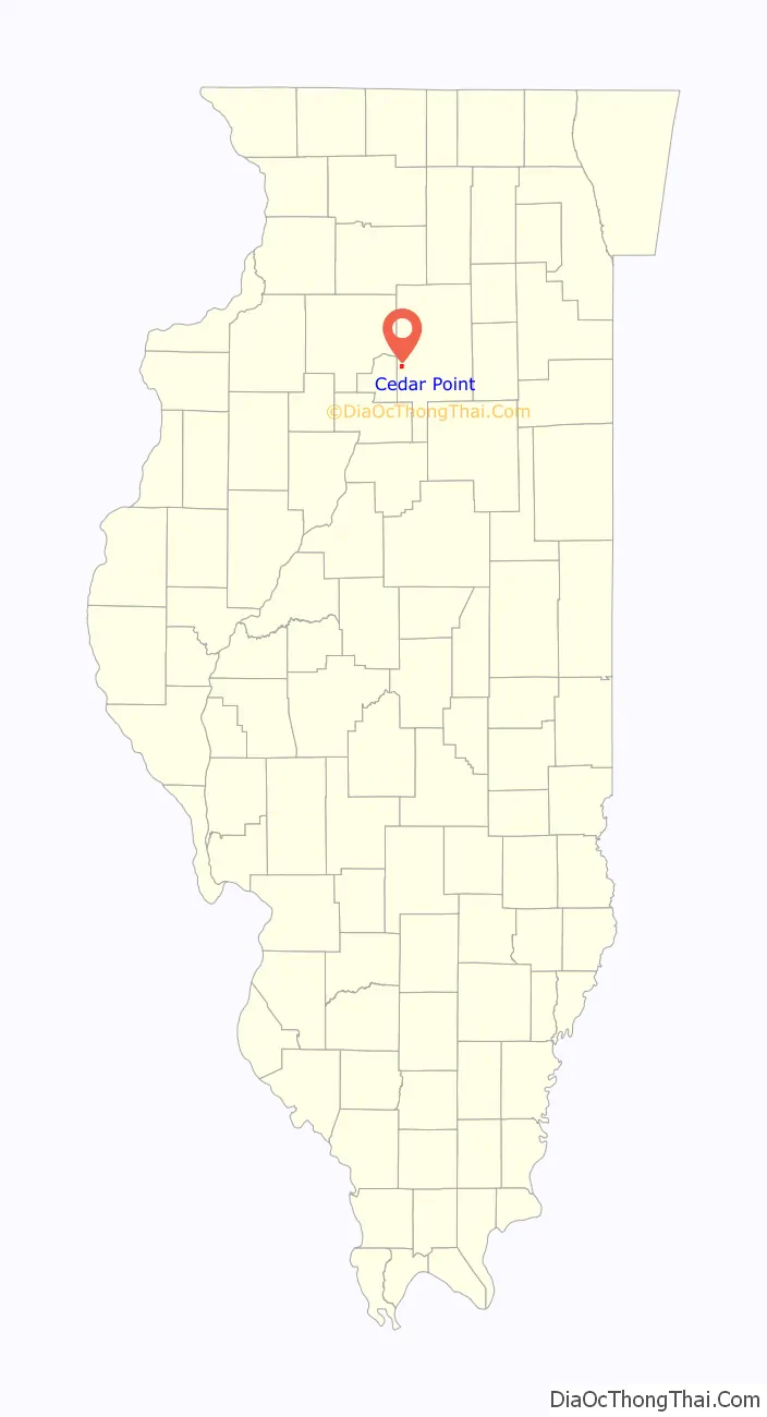
Cedar Point location map. Where is Cedar Point village?
History
The LaSalle Carbon Coal Company sunk the Number 5 Mine in 1906. The village was incorporated in 1922. The mine closed in 1924.
Cedar Point Road Map
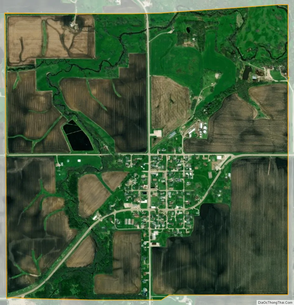
Cedar Point city Satellite Map
Geography
Cedar Point is located at 41°15′54″N 89°07′34″W / 41.265110°N 89.126016°W / 41.265110; -89.126016.
According to the 2021 census gazetteer files, Cedar Point has a total area of 1.02 square miles (2.64 km), of which 1.02 square miles (2.64 km) (or 100.00%) is land.
See also
Map of Illinois State and its subdivision:- Adams
- Alexander
- Bond
- Boone
- Brown
- Bureau
- Calhoun
- Carroll
- Cass
- Champaign
- Christian
- Clark
- Clay
- Clinton
- Coles
- Cook
- Crawford
- Cumberland
- De Kalb
- De Witt
- Douglas
- Dupage
- Edgar
- Edwards
- Effingham
- Fayette
- Ford
- Franklin
- Fulton
- Gallatin
- Greene
- Grundy
- Hamilton
- Hancock
- Hardin
- Henderson
- Henry
- Iroquois
- Jackson
- Jasper
- Jefferson
- Jersey
- Jo Daviess
- Johnson
- Kane
- Kankakee
- Kendall
- Knox
- La Salle
- Lake
- Lake Michigan
- Lawrence
- Lee
- Livingston
- Logan
- Macon
- Macoupin
- Madison
- Marion
- Marshall
- Mason
- Massac
- McDonough
- McHenry
- McLean
- Menard
- Mercer
- Monroe
- Montgomery
- Morgan
- Moultrie
- Ogle
- Peoria
- Perry
- Piatt
- Pike
- Pope
- Pulaski
- Putnam
- Randolph
- Richland
- Rock Island
- Saint Clair
- Saline
- Sangamon
- Schuyler
- Scott
- Shelby
- Stark
- Stephenson
- Tazewell
- Union
- Vermilion
- Wabash
- Warren
- Washington
- Wayne
- White
- Whiteside
- Will
- Williamson
- Winnebago
- Woodford
- Alabama
- Alaska
- Arizona
- Arkansas
- California
- Colorado
- Connecticut
- Delaware
- District of Columbia
- Florida
- Georgia
- Hawaii
- Idaho
- Illinois
- Indiana
- Iowa
- Kansas
- Kentucky
- Louisiana
- Maine
- Maryland
- Massachusetts
- Michigan
- Minnesota
- Mississippi
- Missouri
- Montana
- Nebraska
- Nevada
- New Hampshire
- New Jersey
- New Mexico
- New York
- North Carolina
- North Dakota
- Ohio
- Oklahoma
- Oregon
- Pennsylvania
- Rhode Island
- South Carolina
- South Dakota
- Tennessee
- Texas
- Utah
- Vermont
- Virginia
- Washington
- West Virginia
- Wisconsin
- Wyoming