Cerro Gordo, nicknamed Fat Hill, is a town in Piatt County, Illinois, United States. The population was 1,316 at the 2020 census.
| Name: | Cerro Gordo village |
|---|---|
| LSAD Code: | 47 |
| LSAD Description: | village (suffix) |
| State: | Illinois |
| County: | Piatt County |
| Elevation: | 738 ft (225 m) |
| Total Area: | 0.73 sq mi (1.89 km²) |
| Land Area: | 0.73 sq mi (1.89 km²) |
| Water Area: | 0.00 sq mi (0.00 km²) |
| Total Population: | 1,316 |
| Population Density: | 1,805.21/sq mi (697.23/km²) |
| ZIP code: | 61818 |
| Area code: | 217 |
| FIPS code: | 1712268 |
| Website: | www.fathill.com |
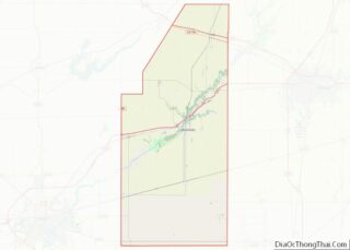
Online Interactive Map
Click on ![]() to view map in "full screen" mode.
to view map in "full screen" mode.
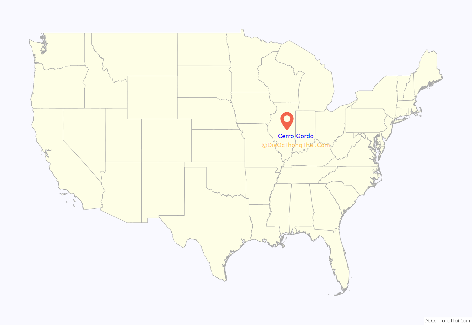
Cerro Gordo location map. Where is Cerro Gordo village?
History
When the Mexican American War began General John S. Williams took command. At the battle of Cerro Gordo (Mexico) he led the troops in a victory over Mexican troops. He took the nickname of “Cerro Gordo” Williams. After the battle, he returned to Illinois and settled in Bement. About the same time (1855) the people of the town of Griswold chose to move the town from the stagecoach line along the river to the path of the Great Western Railroad. The town was platted by Sheridan Wait and Henry Durfee. “Cerro Gordo” Williams was one of the citizens, as they had other citizens that fought in the battle of Cerro Gordo, they selected the name Cerro Gordo. When the Civil War erupted, “Cerro Gordo” Williams returned to Kentucky and became a general in the Army of the Confederacy. On May 31, 1864, his residence was destroyed by fire, with arson being suspected. After the Civil War “Cerro Gordo” Williams having nothing to return to, moved to a farm near Mount Sterling, KY and served in the Kentucky legislature.
Cerro Gordo was the birthplace of Charlie Taylor, an inventor and mechanic who created the engine used in the first powered flight by the Wright Brothers in 1903. It is also the hometown of former college football player and noted snowboarding enthusiast Bryson Davis.
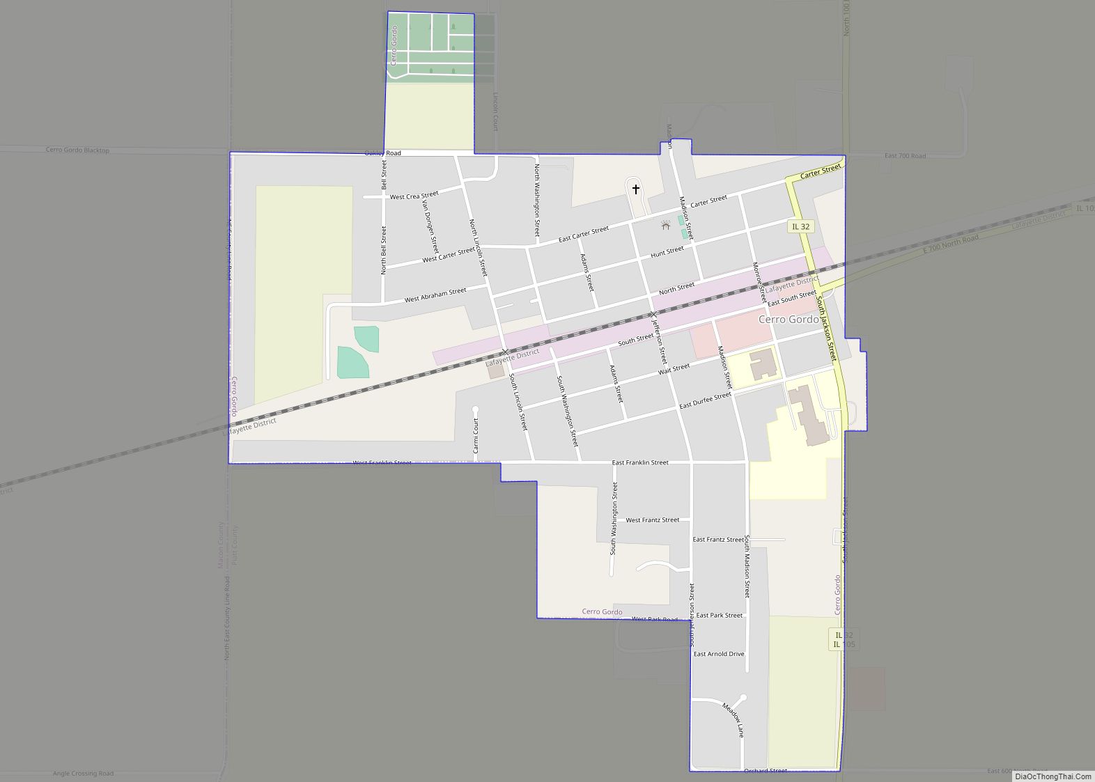
Cerro Gordo Road Map
Cerro Gordo city Satellite Map
Geography
According to the 2010 census, Cerro Gordo has a total area of 0.77 square miles (1.99 km), all land.
See also
Map of Illinois State and its subdivision:- Adams
- Alexander
- Bond
- Boone
- Brown
- Bureau
- Calhoun
- Carroll
- Cass
- Champaign
- Christian
- Clark
- Clay
- Clinton
- Coles
- Cook
- Crawford
- Cumberland
- De Kalb
- De Witt
- Douglas
- Dupage
- Edgar
- Edwards
- Effingham
- Fayette
- Ford
- Franklin
- Fulton
- Gallatin
- Greene
- Grundy
- Hamilton
- Hancock
- Hardin
- Henderson
- Henry
- Iroquois
- Jackson
- Jasper
- Jefferson
- Jersey
- Jo Daviess
- Johnson
- Kane
- Kankakee
- Kendall
- Knox
- La Salle
- Lake
- Lake Michigan
- Lawrence
- Lee
- Livingston
- Logan
- Macon
- Macoupin
- Madison
- Marion
- Marshall
- Mason
- Massac
- McDonough
- McHenry
- McLean
- Menard
- Mercer
- Monroe
- Montgomery
- Morgan
- Moultrie
- Ogle
- Peoria
- Perry
- Piatt
- Pike
- Pope
- Pulaski
- Putnam
- Randolph
- Richland
- Rock Island
- Saint Clair
- Saline
- Sangamon
- Schuyler
- Scott
- Shelby
- Stark
- Stephenson
- Tazewell
- Union
- Vermilion
- Wabash
- Warren
- Washington
- Wayne
- White
- Whiteside
- Will
- Williamson
- Winnebago
- Woodford
- Alabama
- Alaska
- Arizona
- Arkansas
- California
- Colorado
- Connecticut
- Delaware
- District of Columbia
- Florida
- Georgia
- Hawaii
- Idaho
- Illinois
- Indiana
- Iowa
- Kansas
- Kentucky
- Louisiana
- Maine
- Maryland
- Massachusetts
- Michigan
- Minnesota
- Mississippi
- Missouri
- Montana
- Nebraska
- Nevada
- New Hampshire
- New Jersey
- New Mexico
- New York
- North Carolina
- North Dakota
- Ohio
- Oklahoma
- Oregon
- Pennsylvania
- Rhode Island
- South Carolina
- South Dakota
- Tennessee
- Texas
- Utah
- Vermont
- Virginia
- Washington
- West Virginia
- Wisconsin
- Wyoming
