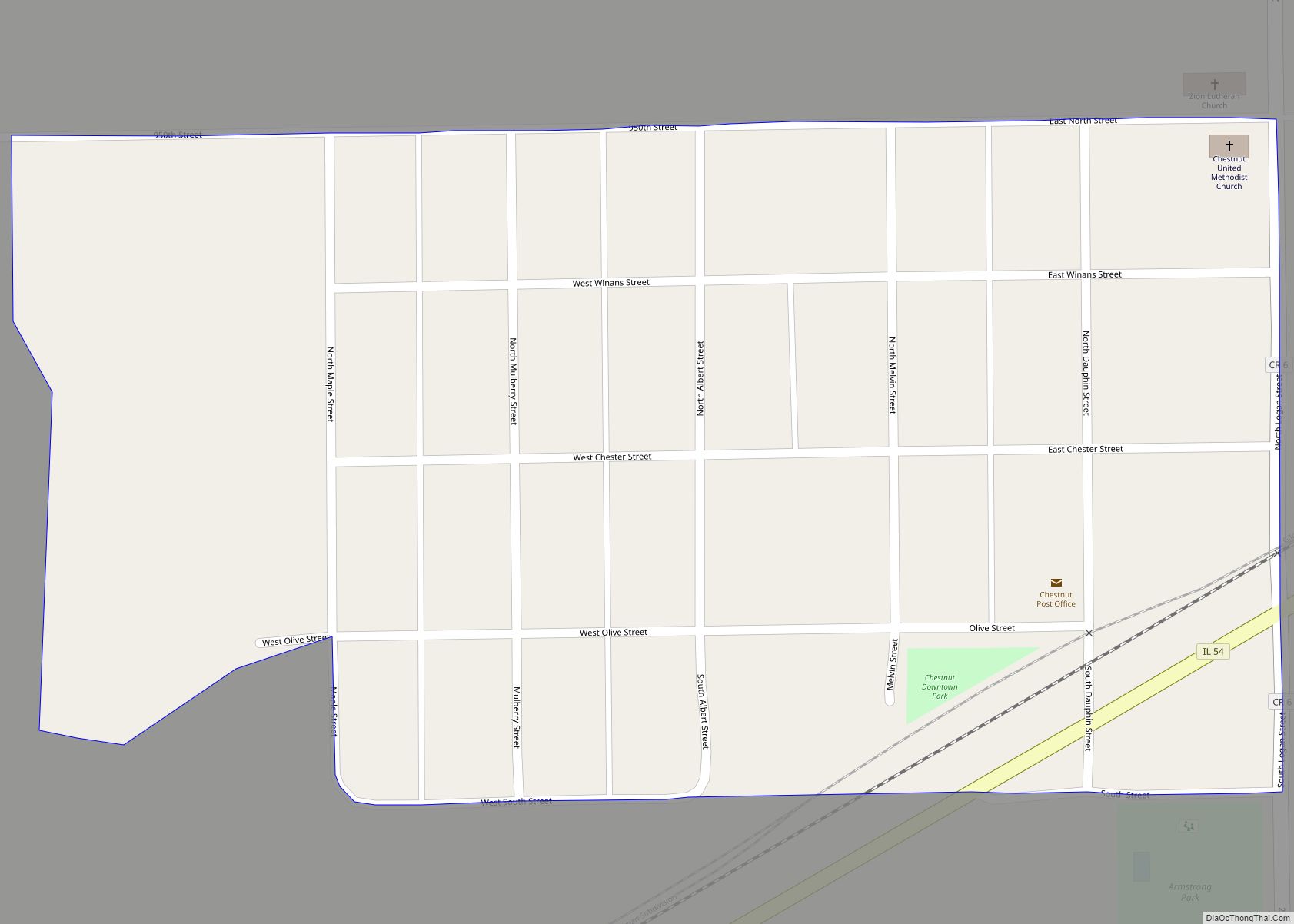
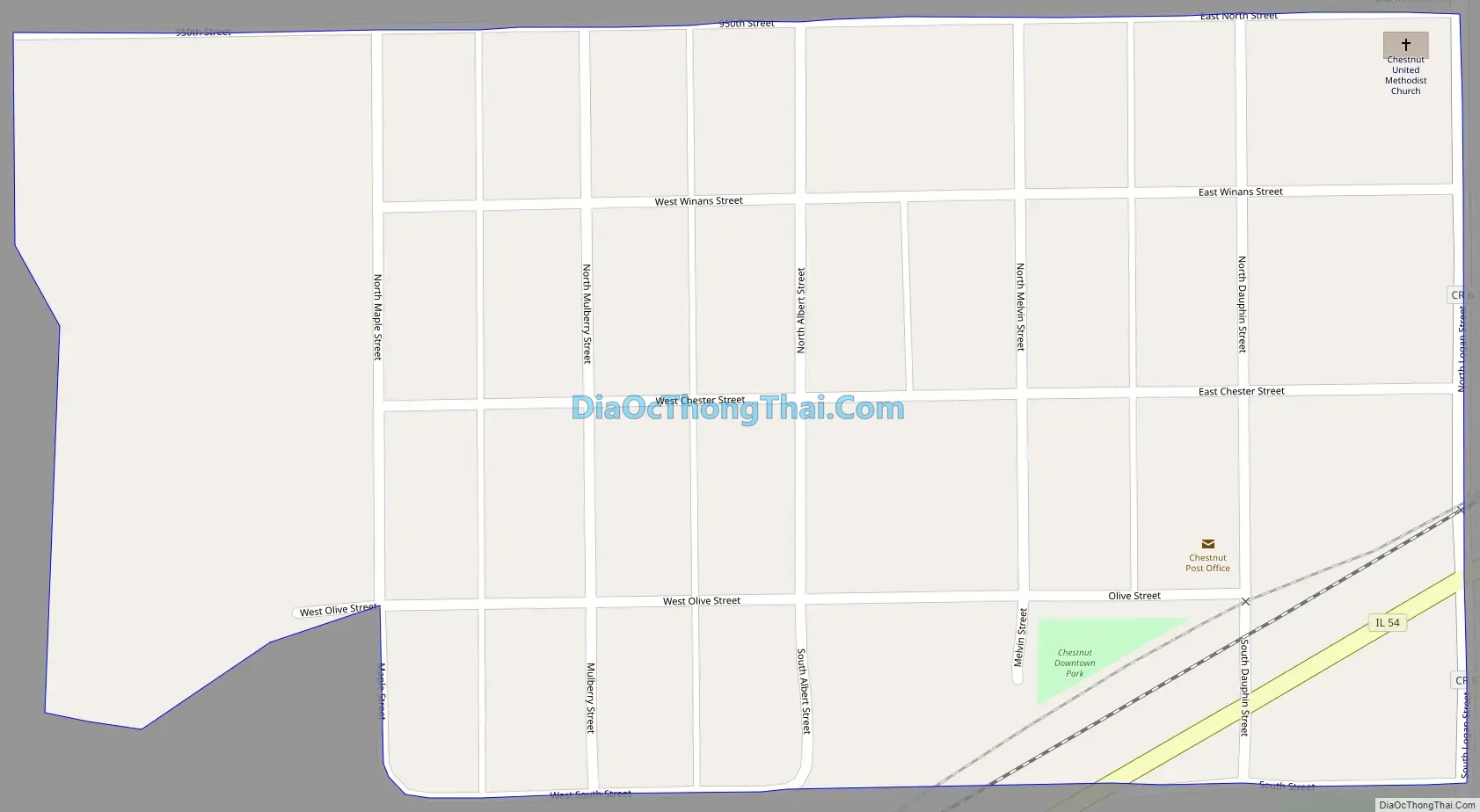
Chestnut is a census-designated place in Aetna Township, Logan County, Illinois. As of the 2010 census, its population was 246. The community is located northwest across the railroad tracks along Illinois Route 54 at Dauphin Street. Its claim to fame, for the sake of town promotion, is that it is the geographic center of the state. A small monument to this effect has been erected in a park near the southwest corner of Melvin Street and East Olive street (in §34 T19N R1W). However, the exact center of Illinois is about eight miles southwest of Chestnut, and on the other side of the town of Mount Pulaski, at 89°18.4’W 40°0.8’N.
| Name: | Chestnut CDP |
|---|---|
| LSAD Code: | 57 |
| LSAD Description: | CDP (suffix) |
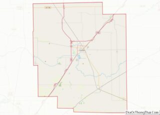
| State: | Illinois |
| County: | Logan County |
| Elevation: | 620 ft (190 m) |
| Total Area: | 0.12 sq mi (0.32 km²) |
| Land Area: | 0.12 sq mi (0.32 km²) |
| Water Area: | 0.00 sq mi (0.00 km²) |
| Total Population: | 220 |
| Population Density: | 1,788.62/sq mi (688.21/km²) |
| Area code: | 217 |
| FIPS code: | 1713230 |
| GNISfeature ID: | 2628546 |
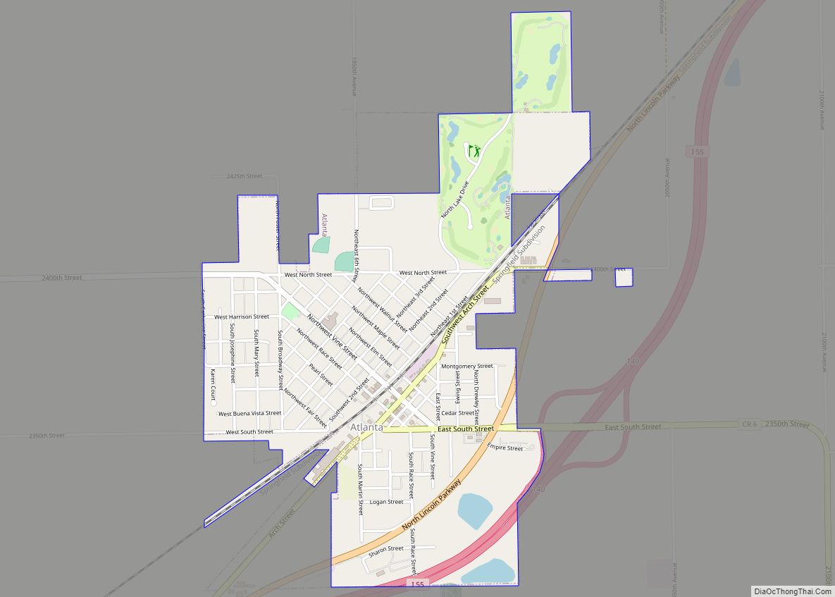
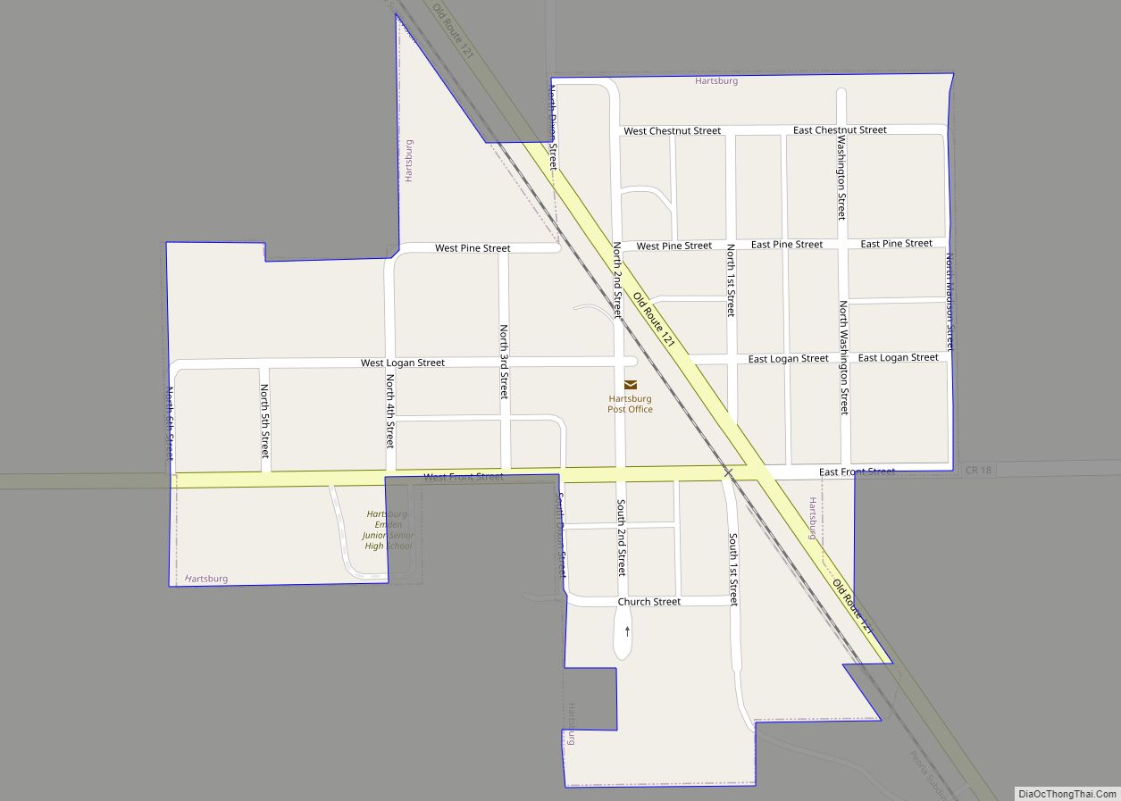
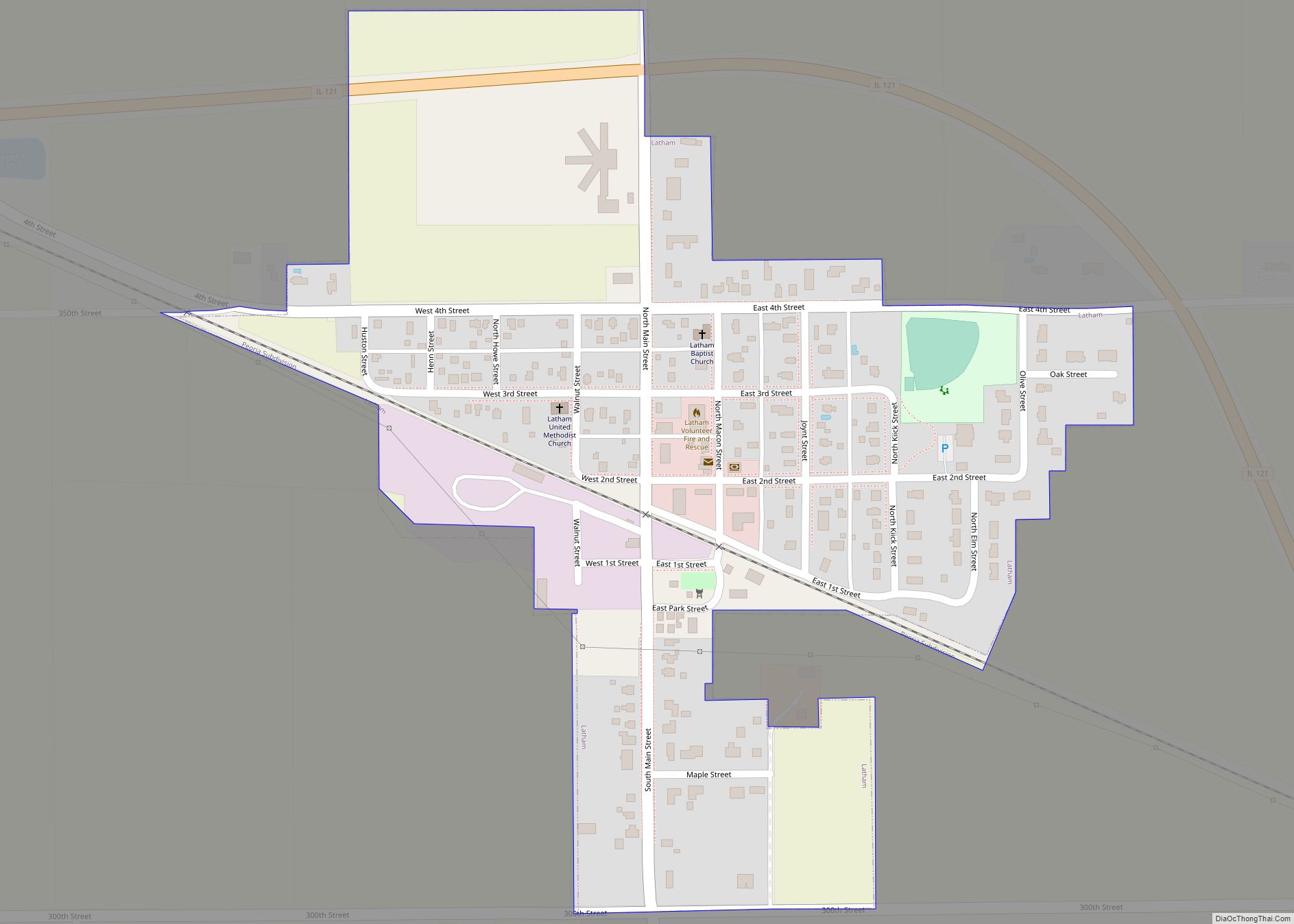
Online Interactive Map
Click on ![]() to view map in "full screen" mode.
to view map in "full screen" mode.
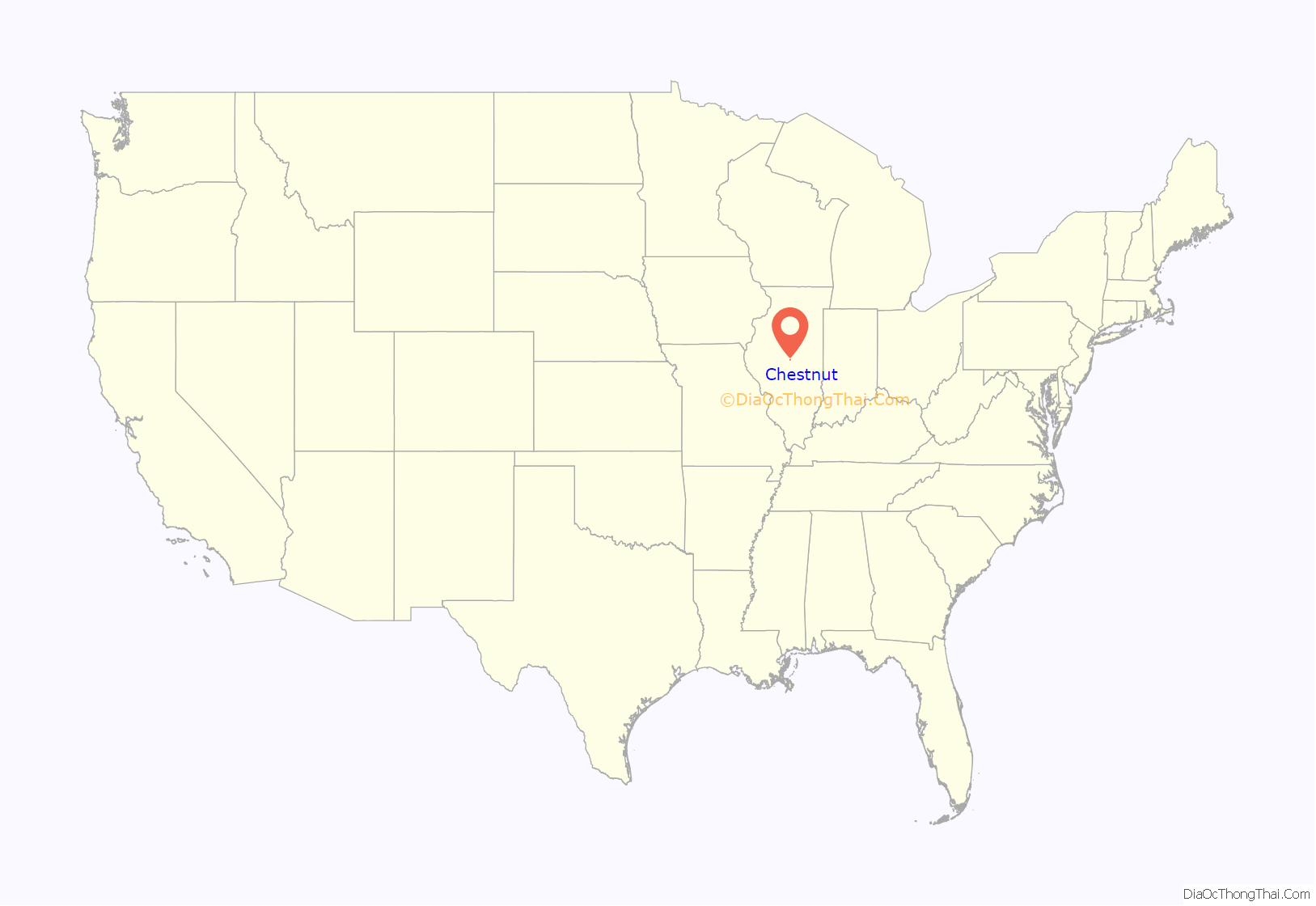
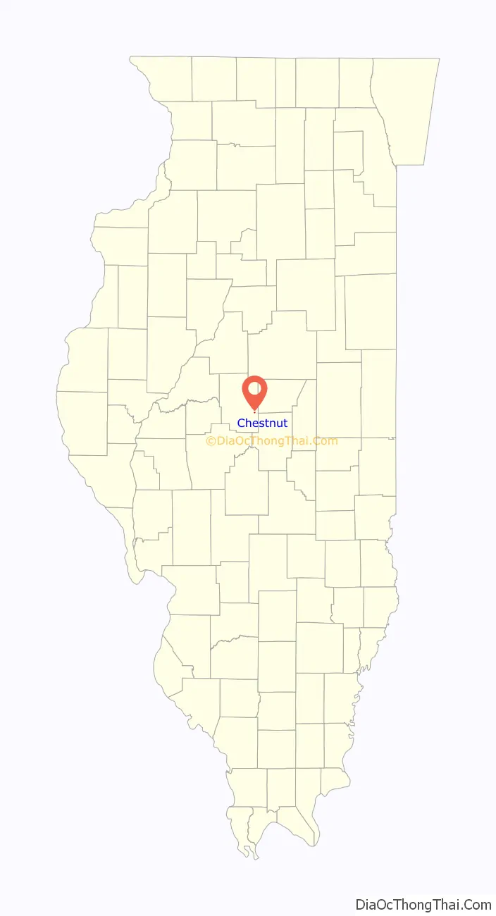
Chestnut location map. Where is Chestnut CDP?
History
The town of Chestnut was laid out in 1872 by David Clark in conjunction with the directors of the then newly completed Gilman, Clinton, and Springfield (later the Springfield branch of the Illinois Central railroad). The land was surveyed on April 24 of that year by Thomas G. Gardner, county surveyor. Two years prior, a town had been laid out, platted, and surveyed on the same section by William M. Allen and S. Linn Beidler. A post office had been established there under the name of Allenville in honor of Mr. Allen. On the laying out of Chestnut, the town of Allenville was abandoned. Chestnut was named in honor of one of the directors of the Gilman, Clinton, and Springfield railroad. The Britton Brothers erected the first store, having moved the building from “Yankeetown,” a few miles distant; Dement and Clark erected the second store. William H. Daniels soon after started a blacksmith shop, George Lakin a drug store, and I. J. Michener erected an elevator in 1873. Mr. Lakin was postmaster and Mr. Michener was the railroad agent. In 1876, fire consumed the store and stock of Britton Brothers, at a loss of $3,000. In 1877, Dement and Clark’s store and stock burned at a loss of $5,000. On Jan. 24, 1905, the general store of Gobleman & Bapst was destroyed by fire at a loss of $10,000. A Methodist church was erected in the town in 1873. An effort to incorporate Chestnut as a village was defeated at a special election in 1898.
Chestnut Road Map
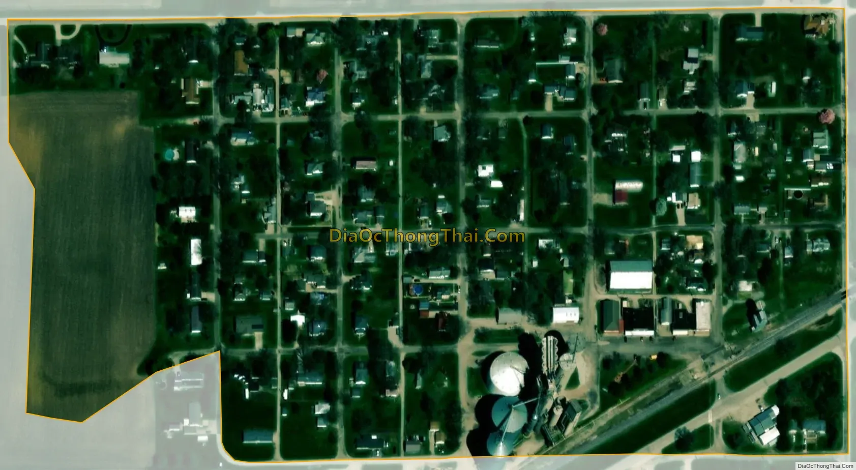
Chestnut city Satellite Map
See also
Map of Illinois State and its subdivision:- Adams
- Alexander
- Bond
- Boone
- Brown
- Bureau
- Calhoun
- Carroll
- Cass
- Champaign
- Christian
- Clark
- Clay
- Clinton
- Coles
- Cook
- Crawford
- Cumberland
- De Kalb
- De Witt
- Douglas
- Dupage
- Edgar
- Edwards
- Effingham
- Fayette
- Ford
- Franklin
- Fulton
- Gallatin
- Greene
- Grundy
- Hamilton
- Hancock
- Hardin
- Henderson
- Henry
- Iroquois
- Jackson
- Jasper
- Jefferson
- Jersey
- Jo Daviess
- Johnson
- Kane
- Kankakee
- Kendall
- Knox
- La Salle
- Lake
- Lake Michigan
- Lawrence
- Lee
- Livingston
- Logan
- Macon
- Macoupin
- Madison
- Marion
- Marshall
- Mason
- Massac
- McDonough
- McHenry
- McLean
- Menard
- Mercer
- Monroe
- Montgomery
- Morgan
- Moultrie
- Ogle
- Peoria
- Perry
- Piatt
- Pike
- Pope
- Pulaski
- Putnam
- Randolph
- Richland
- Rock Island
- Saint Clair
- Saline
- Sangamon
- Schuyler
- Scott
- Shelby
- Stark
- Stephenson
- Tazewell
- Union
- Vermilion
- Wabash
- Warren
- Washington
- Wayne
- White
- Whiteside
- Will
- Williamson
- Winnebago
- Woodford
- Alabama
- Alaska
- Arizona
- Arkansas
- California
- Colorado
- Connecticut
- Delaware
- District of Columbia
- Florida
- Georgia
- Hawaii
- Idaho
- Illinois
- Indiana
- Iowa
- Kansas
- Kentucky
- Louisiana
- Maine
- Maryland
- Massachusetts
- Michigan
- Minnesota
- Mississippi
- Missouri
- Montana
- Nebraska
- Nevada
- New Hampshire
- New Jersey
- New Mexico
- New York
- North Carolina
- North Dakota
- Ohio
- Oklahoma
- Oregon
- Pennsylvania
- Rhode Island
- South Carolina
- South Dakota
- Tennessee
- Texas
- Utah
- Vermont
- Virginia
- Washington
- West Virginia
- Wisconsin
- Wyoming