Clayton is a village in Adams County, Illinois, United States. As of the 2020 census, the total population was 639 people, down from 709 at the 2010 census. It is part of the Quincy, IL–MO Micropolitan Statistical Area.
| Name: | Clayton village |
|---|---|
| LSAD Code: | 47 |
| LSAD Description: | village (suffix) |
| State: | Illinois |
| County: | Adams County |
| Elevation: | 728 ft (222 m) |
| Total Area: | 0.89 sq mi (2.31 km²) |
| Land Area: | 0.88 sq mi (2.29 km²) |
| Water Area: | 0.01 sq mi (0.02 km²) 0% |
| Total Population: | 639 |
| Population Density: | 722.85/sq mi (278.96/km²) |
| Area code: | 217 |
| FIPS code: | 1714767 |
| GNISfeature ID: | 2397640 |
| Website: | villageofclayton.municipalimpact.com |
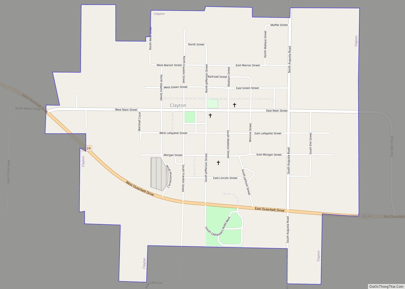
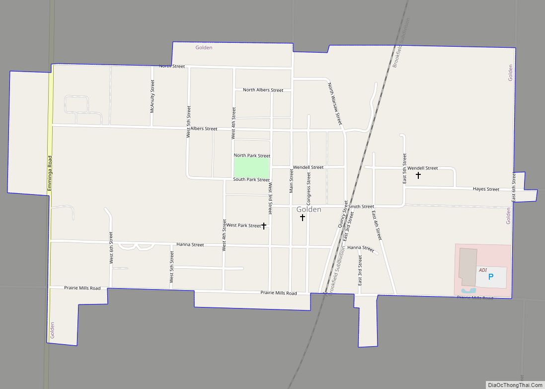
Online Interactive Map
Click on ![]() to view map in "full screen" mode.
to view map in "full screen" mode.
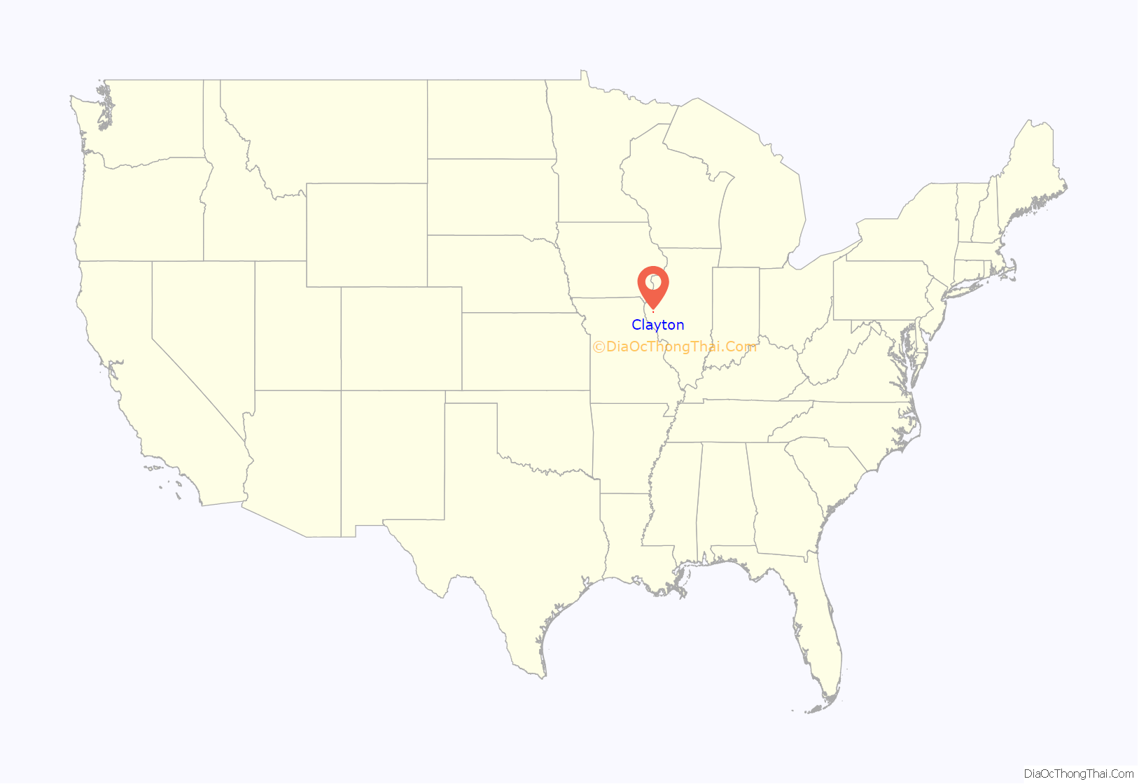
Clayton location map. Where is Clayton village?
History
Clayton is named for Kentucky statesman Henry Clay. It was established in 1834.
Registered Historic Places
- John Roy Site
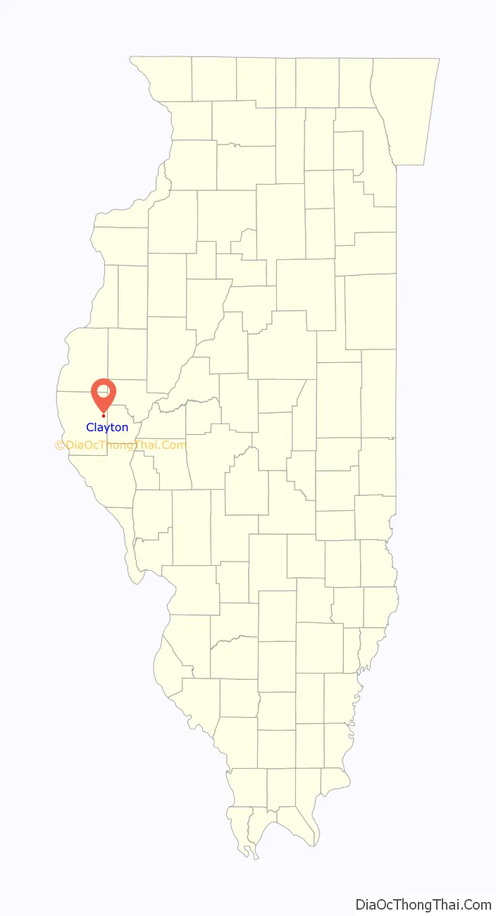
Clayton Road Map
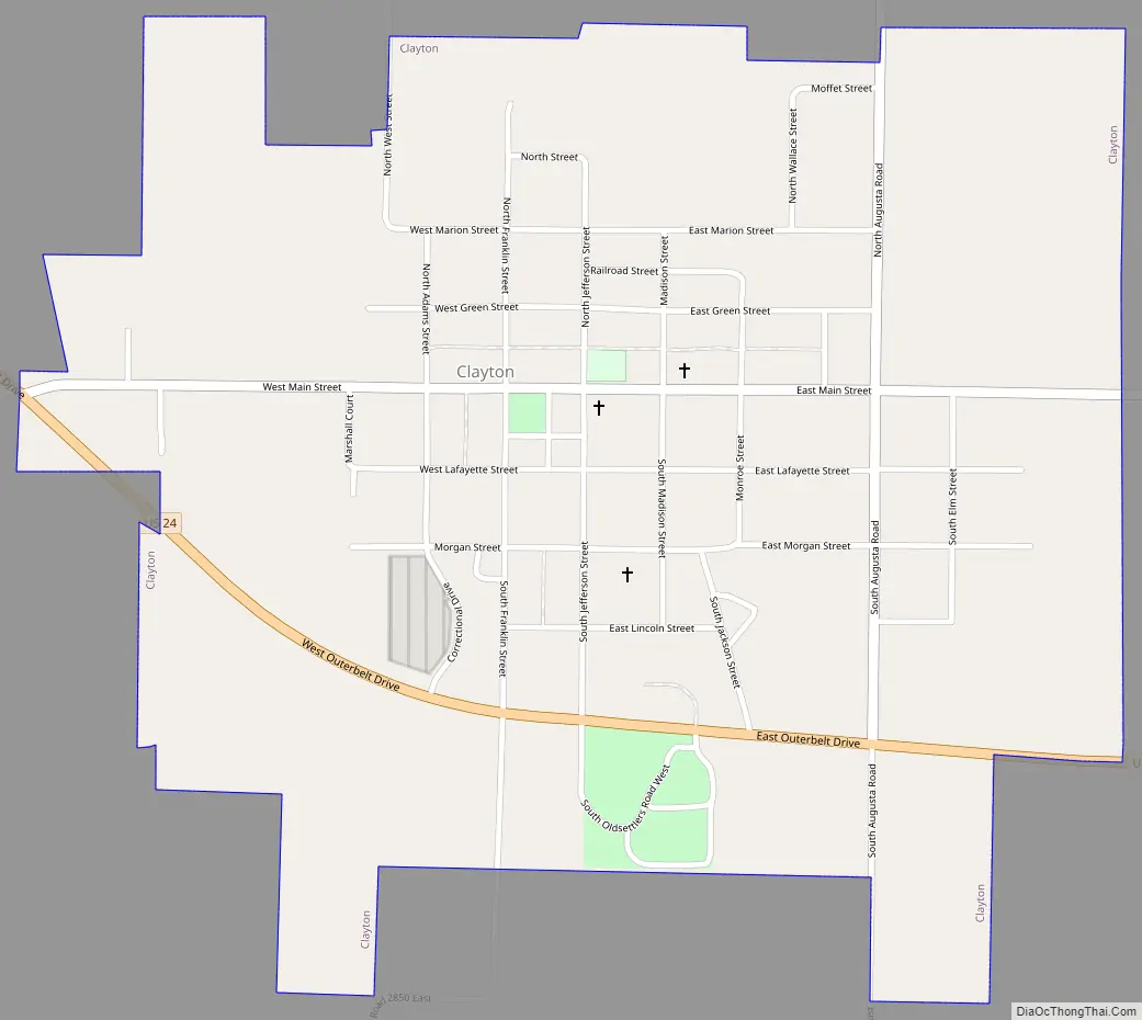
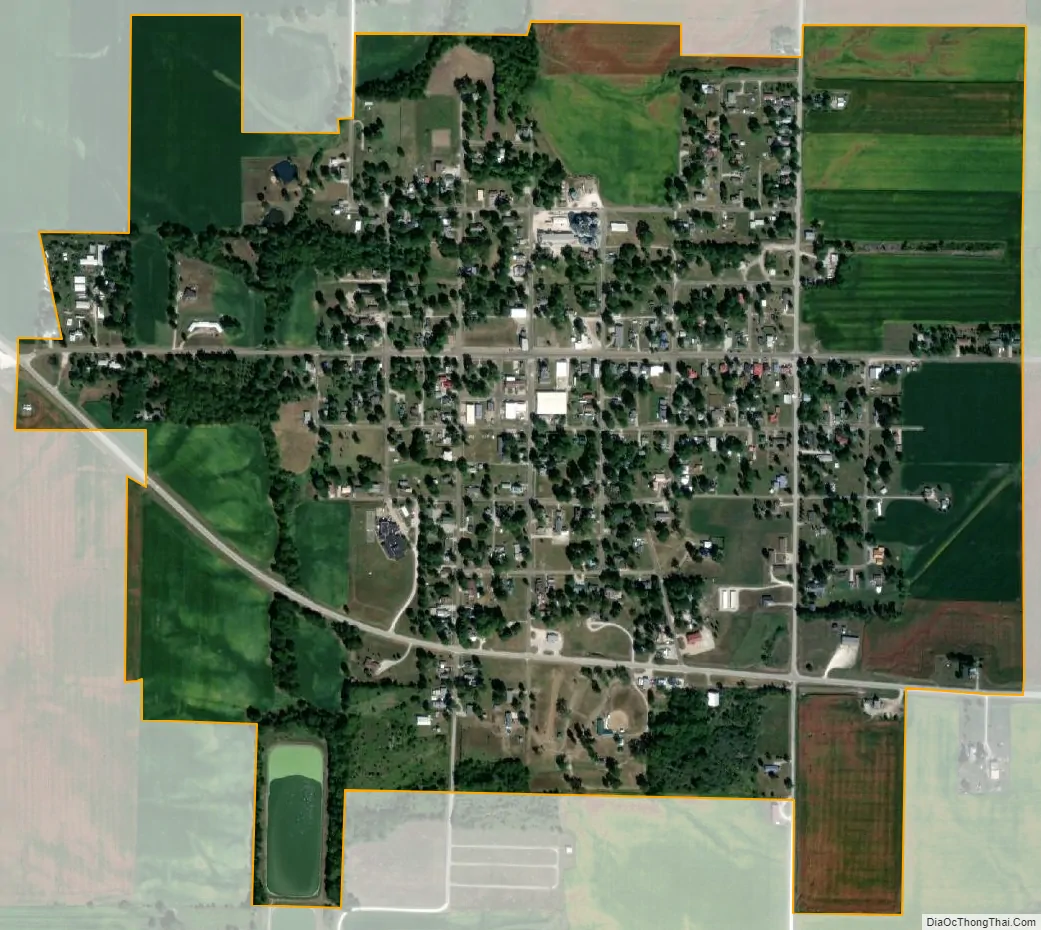
Clayton city Satellite Map
Geography
Clayton is located at 40°01′45″N 90°57′29″W / 40.02922°N 90.958122°W / 40.02922; -90.958122.
According to the 2021 census gazetteer files, Clayton has a total area of 0.89 square miles (2.31 km), of which 0.88 square miles (2.28 km) (or 99.10%) is land and 0.01 square miles (0.03 km) (or 0.90%) is water.
See also
Map of Illinois State and its subdivision:- Adams
- Alexander
- Bond
- Boone
- Brown
- Bureau
- Calhoun
- Carroll
- Cass
- Champaign
- Christian
- Clark
- Clay
- Clinton
- Coles
- Cook
- Crawford
- Cumberland
- De Kalb
- De Witt
- Douglas
- Dupage
- Edgar
- Edwards
- Effingham
- Fayette
- Ford
- Franklin
- Fulton
- Gallatin
- Greene
- Grundy
- Hamilton
- Hancock
- Hardin
- Henderson
- Henry
- Iroquois
- Jackson
- Jasper
- Jefferson
- Jersey
- Jo Daviess
- Johnson
- Kane
- Kankakee
- Kendall
- Knox
- La Salle
- Lake
- Lake Michigan
- Lawrence
- Lee
- Livingston
- Logan
- Macon
- Macoupin
- Madison
- Marion
- Marshall
- Mason
- Massac
- McDonough
- McHenry
- McLean
- Menard
- Mercer
- Monroe
- Montgomery
- Morgan
- Moultrie
- Ogle
- Peoria
- Perry
- Piatt
- Pike
- Pope
- Pulaski
- Putnam
- Randolph
- Richland
- Rock Island
- Saint Clair
- Saline
- Sangamon
- Schuyler
- Scott
- Shelby
- Stark
- Stephenson
- Tazewell
- Union
- Vermilion
- Wabash
- Warren
- Washington
- Wayne
- White
- Whiteside
- Will
- Williamson
- Winnebago
- Woodford
- Alabama
- Alaska
- Arizona
- Arkansas
- California
- Colorado
- Connecticut
- Delaware
- District of Columbia
- Florida
- Georgia
- Hawaii
- Idaho
- Illinois
- Indiana
- Iowa
- Kansas
- Kentucky
- Louisiana
- Maine
- Maryland
- Massachusetts
- Michigan
- Minnesota
- Mississippi
- Missouri
- Montana
- Nebraska
- Nevada
- New Hampshire
- New Jersey
- New Mexico
- New York
- North Carolina
- North Dakota
- Ohio
- Oklahoma
- Oregon
- Pennsylvania
- Rhode Island
- South Carolina
- South Dakota
- Tennessee
- Texas
- Utah
- Vermont
- Virginia
- Washington
- West Virginia
- Wisconsin
- Wyoming