Coal City is a village in Grundy and Will Counties in the U.S. state of Illinois. It is considered a fringe town of the Chicago metropolitan area. The population was 5,587 at the 2010 census. It is served by Interstate 55. The Santa Fe Railway formerly served Coal City at Coal City Station.
| Name: | Coal City village |
|---|---|
| LSAD Code: | 47 |
| LSAD Description: | village (suffix) |
| State: | Illinois |
| County: | Grundy County, Will County |
| Elevation: | 568 ft (173 m) |
| Total Area: | 5.88 sq mi (15.23 km²) |
| Land Area: | 5.77 sq mi (14.94 km²) |
| Water Area: | 0.11 sq mi (0.29 km²) |
| Total Population: | 5,705 |
| Population Density: | 989.25/sq mi (381.94/km²) |
| Area code: | 815, 779 |
| FIPS code: | 1715170 |
| Website: | coalcity-il.gov |
Online Interactive Map
Click on ![]() to view map in "full screen" mode.
to view map in "full screen" mode.
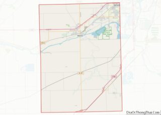
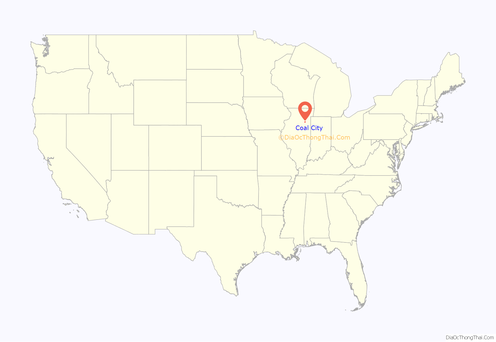
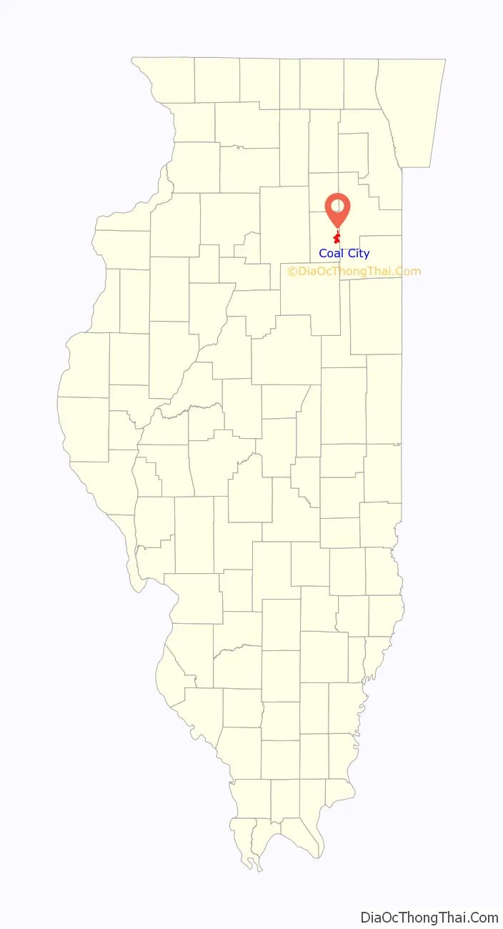
Coal City location map. Where is Coal City village?
History
Coal City was incorporated in 1870, named for coal mines in the vicinity that were built following the 1820 discovery of large coal reserves. During the 20th century, coal mining operations in the area declined, with the local economy being driven more by growth in manufacturing and the construction of nearby power plants, including Dresden Nuclear Power Plant and Braidwood Nuclear Generating Station.
2013 tornado
A tornado passed through Coal City damaging a number of homes during the tornado outbreak of November 17, 2013. The National Weather Service rated the tornado an EF2. The max wind speed was rated at 122 miles per hour, with a reported path length of 12.9 miles. 3 injuries would be recorded.
2015 tornado
A confirmed EF3 tornado passed through Coal City during the outbreak of storms and tornadoes on Monday, June 22, 2015. The tornado touched down near Morris, Illinois, before entering Coal City, damaging and destroying a number of homes and businesses. According to the National Weather Service, winds reached 160 miles per hour as the tornado touched down, making it the most powerful tornado to hit the region since the Plainfield, IL tornado in August 1990.
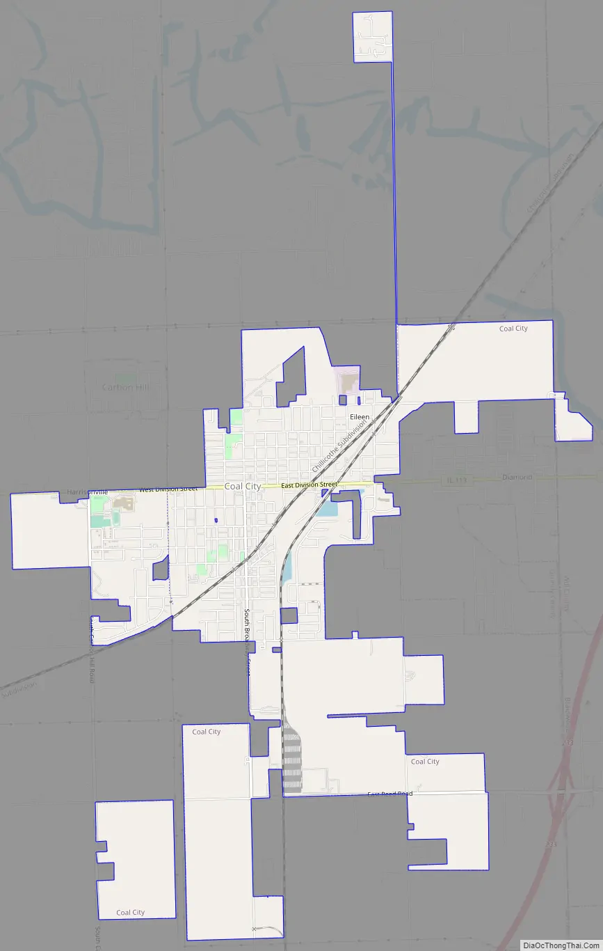
Coal City Road Map
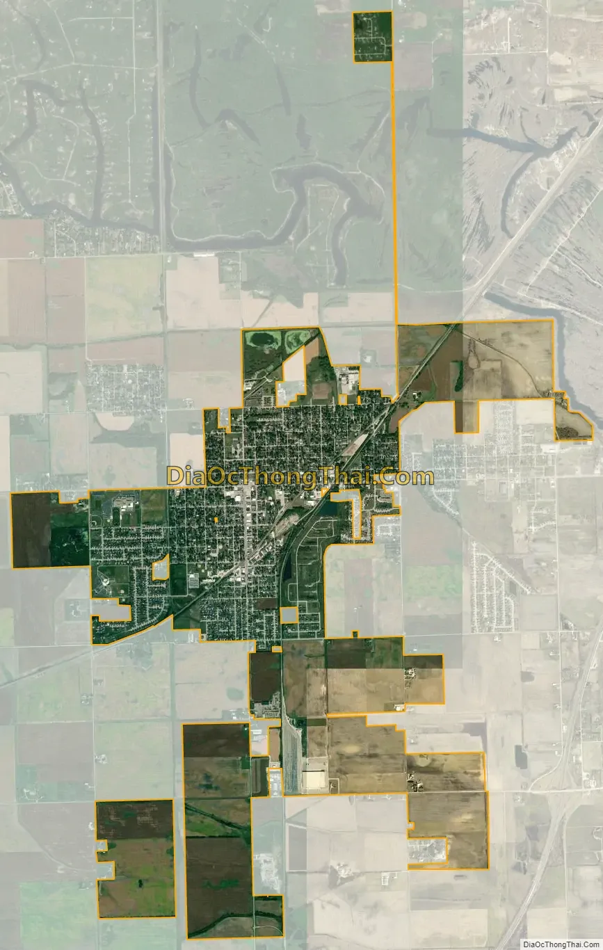
Coal City city Satellite Map
Geography
Coal City is located at 41°16′47″N 88°16′39″W / 41.279740°N 88.277461°W / 41.279740; -88.277461. According to the 2010 census, the town has a total area of 5.00 square miles (12.9 km), of which 4.90 square miles (12.7 km) (or 98.00%) is land and 0.09 square miles (0.23 km) (or 1.80%) is water.
See also
Map of Illinois State and its subdivision:- Adams
- Alexander
- Bond
- Boone
- Brown
- Bureau
- Calhoun
- Carroll
- Cass
- Champaign
- Christian
- Clark
- Clay
- Clinton
- Coles
- Cook
- Crawford
- Cumberland
- De Kalb
- De Witt
- Douglas
- Dupage
- Edgar
- Edwards
- Effingham
- Fayette
- Ford
- Franklin
- Fulton
- Gallatin
- Greene
- Grundy
- Hamilton
- Hancock
- Hardin
- Henderson
- Henry
- Iroquois
- Jackson
- Jasper
- Jefferson
- Jersey
- Jo Daviess
- Johnson
- Kane
- Kankakee
- Kendall
- Knox
- La Salle
- Lake
- Lake Michigan
- Lawrence
- Lee
- Livingston
- Logan
- Macon
- Macoupin
- Madison
- Marion
- Marshall
- Mason
- Massac
- McDonough
- McHenry
- McLean
- Menard
- Mercer
- Monroe
- Montgomery
- Morgan
- Moultrie
- Ogle
- Peoria
- Perry
- Piatt
- Pike
- Pope
- Pulaski
- Putnam
- Randolph
- Richland
- Rock Island
- Saint Clair
- Saline
- Sangamon
- Schuyler
- Scott
- Shelby
- Stark
- Stephenson
- Tazewell
- Union
- Vermilion
- Wabash
- Warren
- Washington
- Wayne
- White
- Whiteside
- Will
- Williamson
- Winnebago
- Woodford
- Alabama
- Alaska
- Arizona
- Arkansas
- California
- Colorado
- Connecticut
- Delaware
- District of Columbia
- Florida
- Georgia
- Hawaii
- Idaho
- Illinois
- Indiana
- Iowa
- Kansas
- Kentucky
- Louisiana
- Maine
- Maryland
- Massachusetts
- Michigan
- Minnesota
- Mississippi
- Missouri
- Montana
- Nebraska
- Nevada
- New Hampshire
- New Jersey
- New Mexico
- New York
- North Carolina
- North Dakota
- Ohio
- Oklahoma
- Oregon
- Pennsylvania
- Rhode Island
- South Carolina
- South Dakota
- Tennessee
- Texas
- Utah
- Vermont
- Virginia
- Washington
- West Virginia
- Wisconsin
- Wyoming