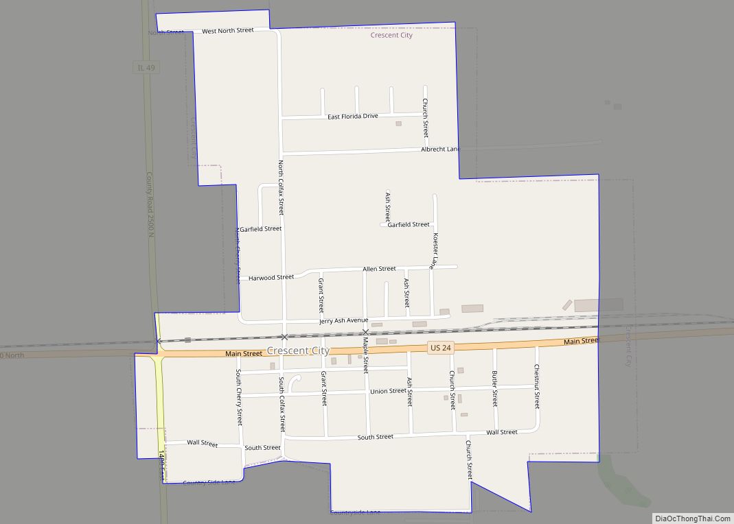
Crescent City is a village in Iroquois and Crescent townships, Iroquois County, Illinois, United States. The population was 615 at the 2010 census.
| Name: | Crescent City village |
|---|---|
| LSAD Code: | 47 |
| LSAD Description: | village (suffix) |
| State: | Illinois |
| County: | Iroquois County |
| Elevation: | 640 ft (195 m) |
| Total Area: | 0.46 sq mi (1.18 km²) |
| Land Area: | 0.46 sq mi (1.18 km²) |
| Water Area: | 0.00 sq mi (0.00 km²) |
| Total Population: | 552 |
| Population Density: | 1,210.53/sq mi (467.76/km²) |
| ZIP code: | 60928 |
| Area code: | 815 |
| FIPS code: | 1717406 |
Online Interactive Map
Click on ![]() to view map in "full screen" mode.
to view map in "full screen" mode.
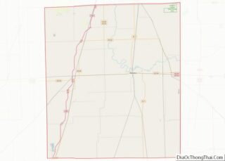
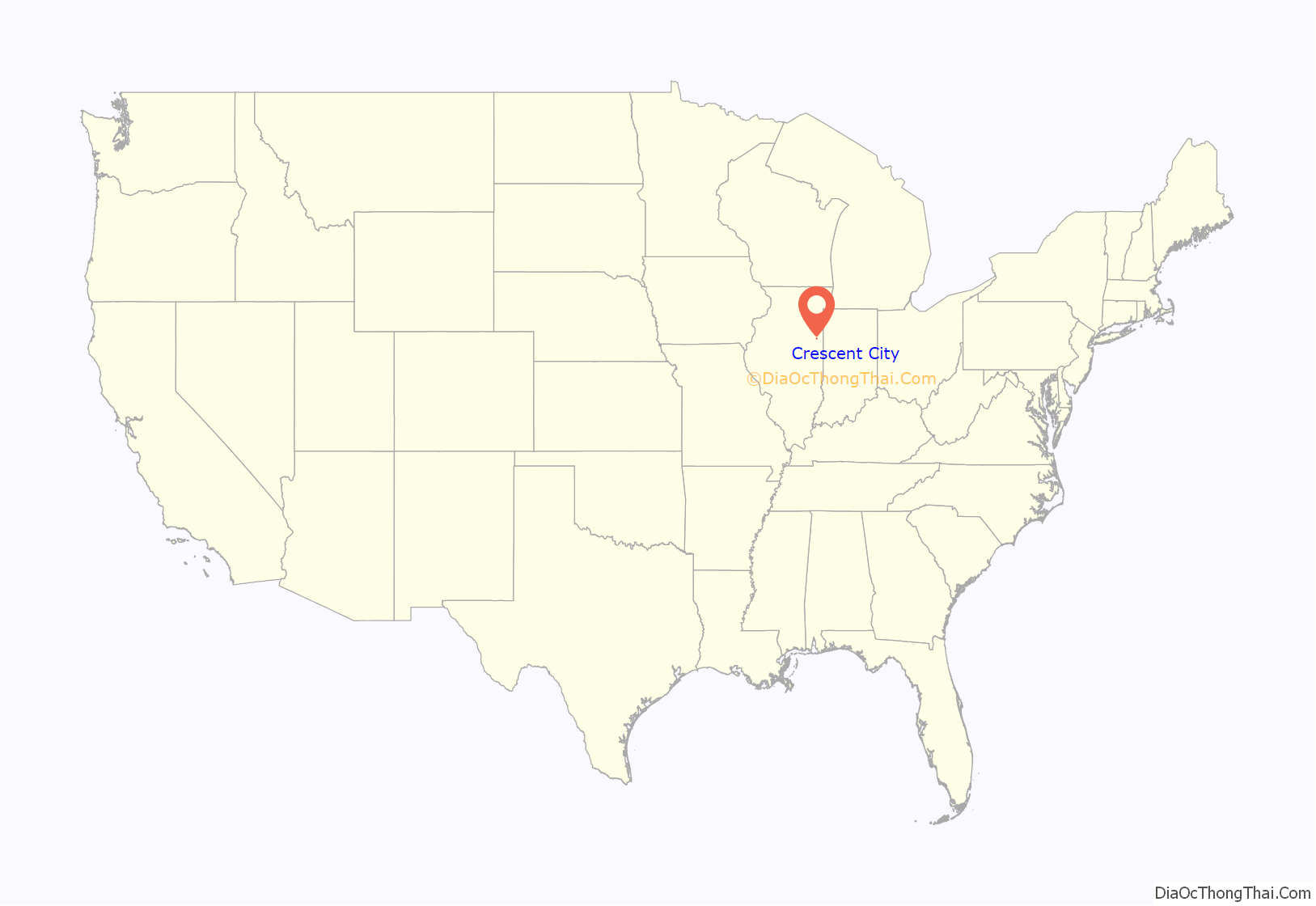
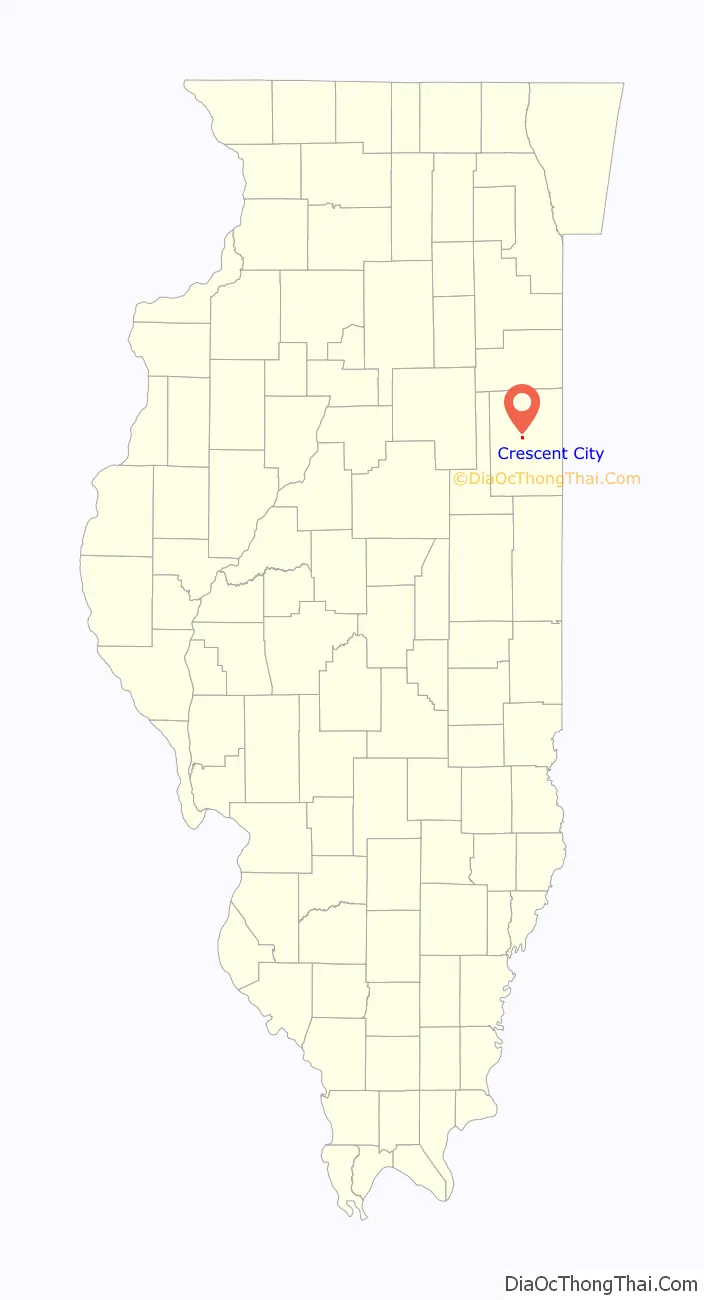
Crescent City location map. Where is Crescent City village?
History
Railroad accident
On June 21, 1970, the Toledo, Peoria and Western Railroad Company’s Train No. 20 derailed in downtown Crescent City. A propane tank car ruptured, and explosions caused fires that destroyed the city center, which included numerous houses and businesses. There were no deaths, although over 60 firefighters and civilians were injured. The disaster would later be featured on episode #124 of the Discovery Channel show Destroyed in Seconds.
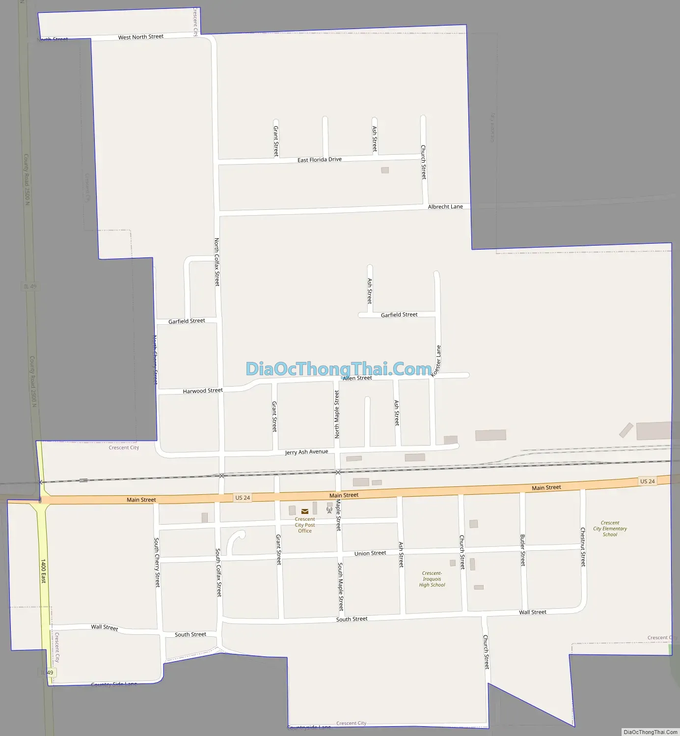
Crescent City Road Map
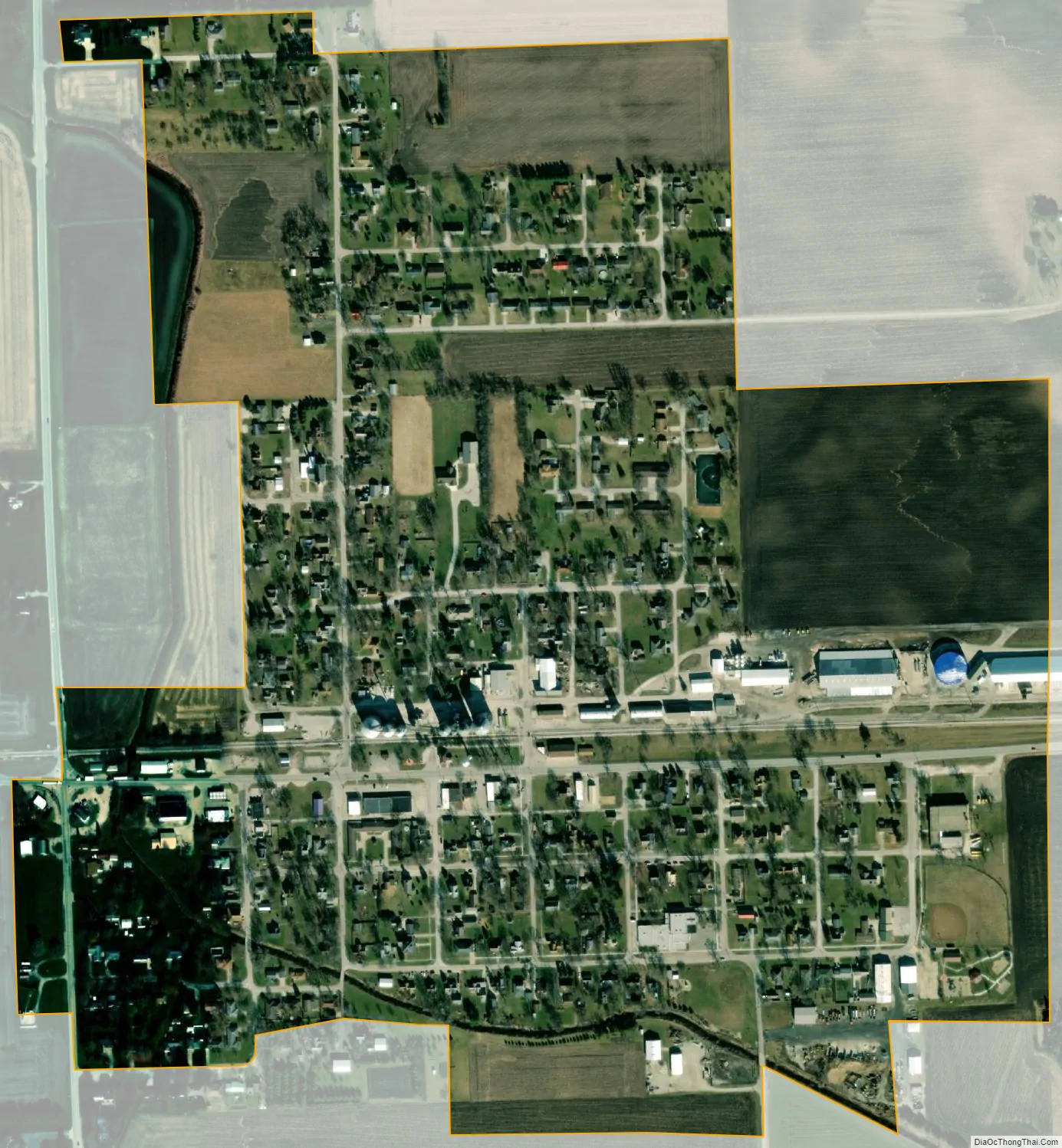
Crescent City city Satellite Map
Geography
Crescent City is located in central Iroquois County at 40°46′14″N 87°51′28″W / 40.77056°N 87.85778°W / 40.77056; -87.85778 (40.770448, -87.857823). U.S. Route 24 passes through the center of the village, leading east 6 miles (10 km) to Watseka, the county seat, and west 7 miles (11 km) to Gilman near Interstate 57. Illinois Route 49 crosses US 24 on the western side of Crescent City; it leads north 8 miles (13 km) to US Routes 45 and 52 near L’Erable, and south 23 miles (37 km) to Rankin.
According to the 2010 census, Crescent City has a total area of 0.5 square miles (1.29 km), all land.
See also
Map of Illinois State and its subdivision:- Adams
- Alexander
- Bond
- Boone
- Brown
- Bureau
- Calhoun
- Carroll
- Cass
- Champaign
- Christian
- Clark
- Clay
- Clinton
- Coles
- Cook
- Crawford
- Cumberland
- De Kalb
- De Witt
- Douglas
- Dupage
- Edgar
- Edwards
- Effingham
- Fayette
- Ford
- Franklin
- Fulton
- Gallatin
- Greene
- Grundy
- Hamilton
- Hancock
- Hardin
- Henderson
- Henry
- Iroquois
- Jackson
- Jasper
- Jefferson
- Jersey
- Jo Daviess
- Johnson
- Kane
- Kankakee
- Kendall
- Knox
- La Salle
- Lake
- Lake Michigan
- Lawrence
- Lee
- Livingston
- Logan
- Macon
- Macoupin
- Madison
- Marion
- Marshall
- Mason
- Massac
- McDonough
- McHenry
- McLean
- Menard
- Mercer
- Monroe
- Montgomery
- Morgan
- Moultrie
- Ogle
- Peoria
- Perry
- Piatt
- Pike
- Pope
- Pulaski
- Putnam
- Randolph
- Richland
- Rock Island
- Saint Clair
- Saline
- Sangamon
- Schuyler
- Scott
- Shelby
- Stark
- Stephenson
- Tazewell
- Union
- Vermilion
- Wabash
- Warren
- Washington
- Wayne
- White
- Whiteside
- Will
- Williamson
- Winnebago
- Woodford
- Alabama
- Alaska
- Arizona
- Arkansas
- California
- Colorado
- Connecticut
- Delaware
- District of Columbia
- Florida
- Georgia
- Hawaii
- Idaho
- Illinois
- Indiana
- Iowa
- Kansas
- Kentucky
- Louisiana
- Maine
- Maryland
- Massachusetts
- Michigan
- Minnesota
- Mississippi
- Missouri
- Montana
- Nebraska
- Nevada
- New Hampshire
- New Jersey
- New Mexico
- New York
- North Carolina
- North Dakota
- Ohio
- Oklahoma
- Oregon
- Pennsylvania
- Rhode Island
- South Carolina
- South Dakota
- Tennessee
- Texas
- Utah
- Vermont
- Virginia
- Washington
- West Virginia
- Wisconsin
- Wyoming