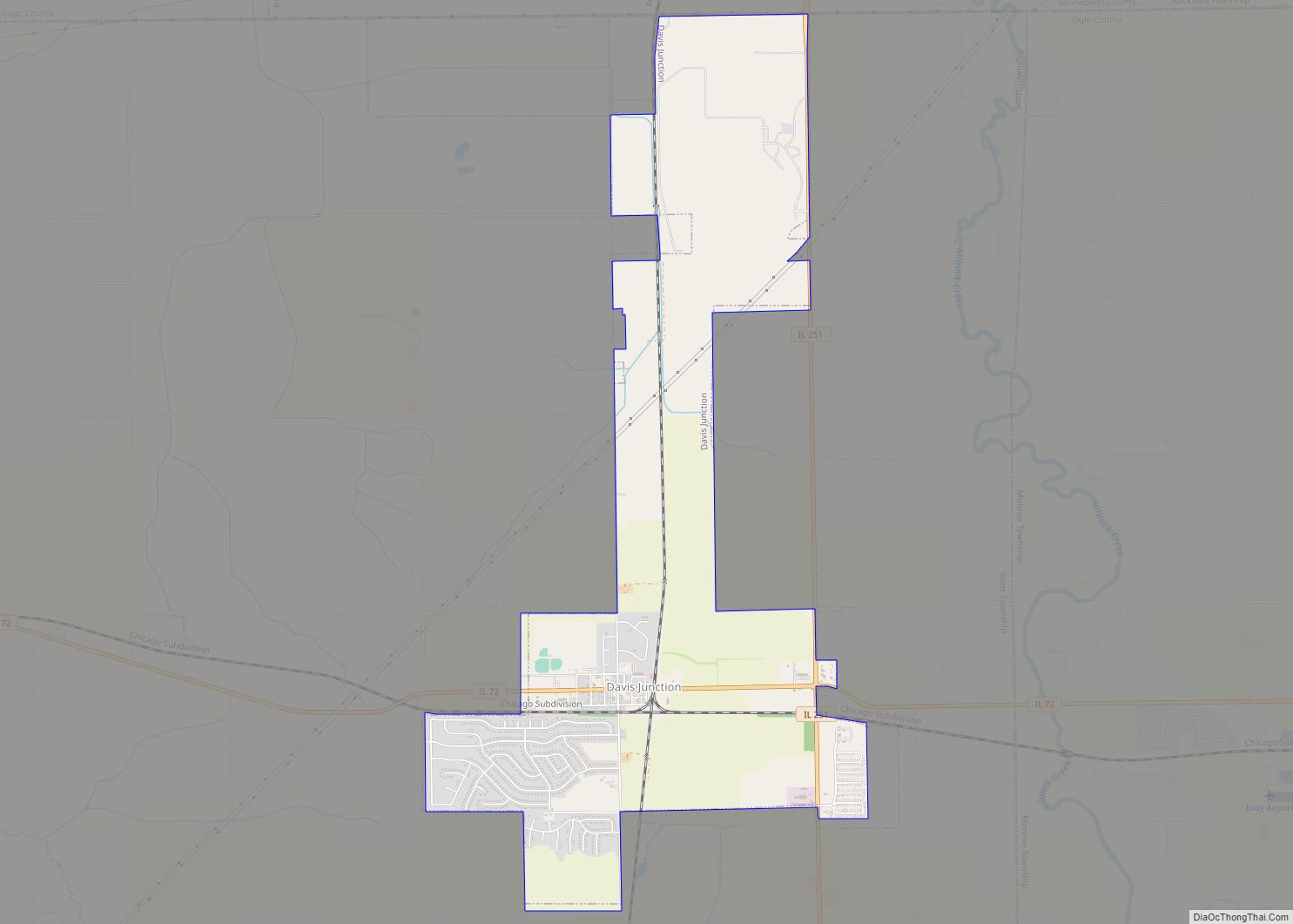
Davis Junction is a village in Ogle County, Illinois, United States. The population was 2,512 at the 2020 census. Named for Jeremiah Davis, it is located where the Illinois Railway Rockford Line and the Canadian Pacific Railway (ex-Milwaukee Road/Soo Line Railroad) Chicago Subdivision intersect along Illinois Route 72. It is the site of the Orchard Hills Landfill – one of the largest in the United States.
| Name: | Davis Junction village |
|---|---|
| LSAD Code: | 47 |
| LSAD Description: | village (suffix) |
| State: | Illinois |
| County: | Ogle County |
| Elevation: | 791 ft (241 m) |
| Total Area: | 4.20 sq mi (10.88 km²) |
| Land Area: | 4.20 sq mi (10.88 km²) |
| Water Area: | 0.00 sq mi (0.00 km²) |
| Total Population: | 2,512 |
| Population Density: | 598.10/sq mi (230.91/km²) |
| Area code: | 815 |
| FIPS code: | 1718719 |
| Website: | www.davisjunction.com |
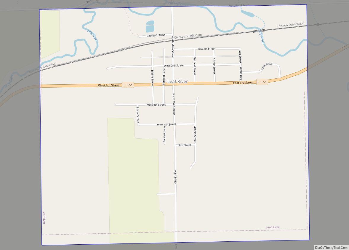
Online Interactive Map
Click on ![]() to view map in "full screen" mode.
to view map in "full screen" mode.
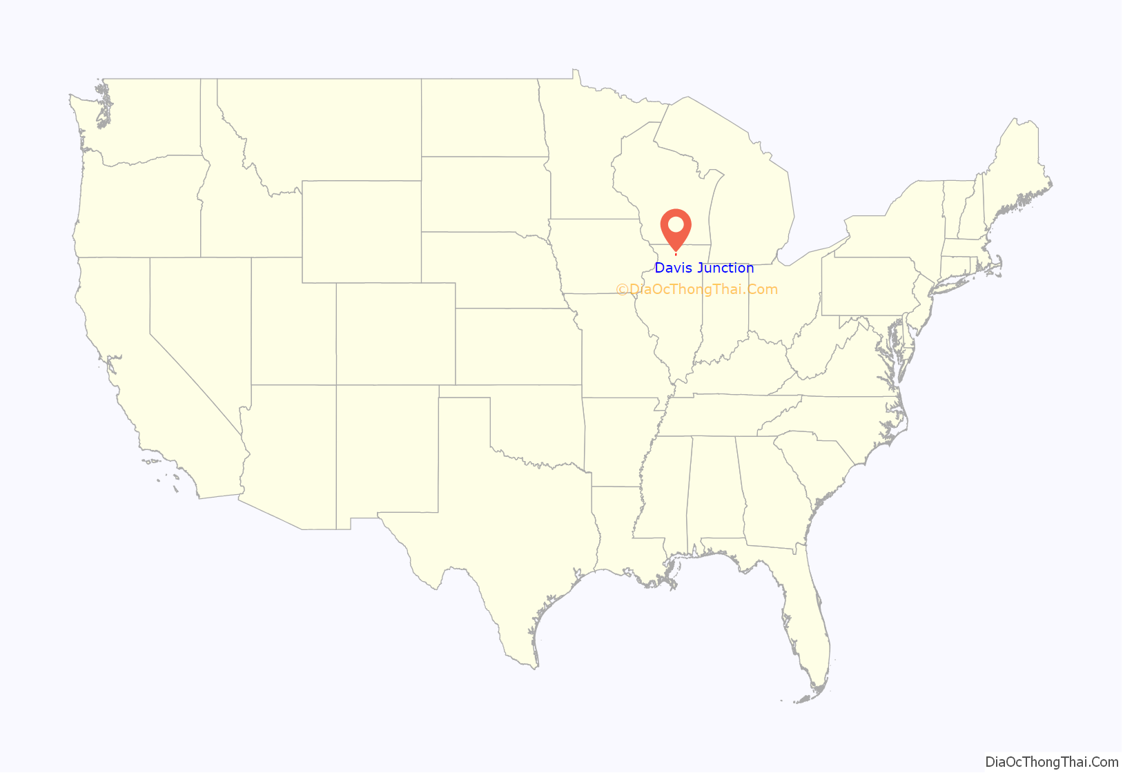
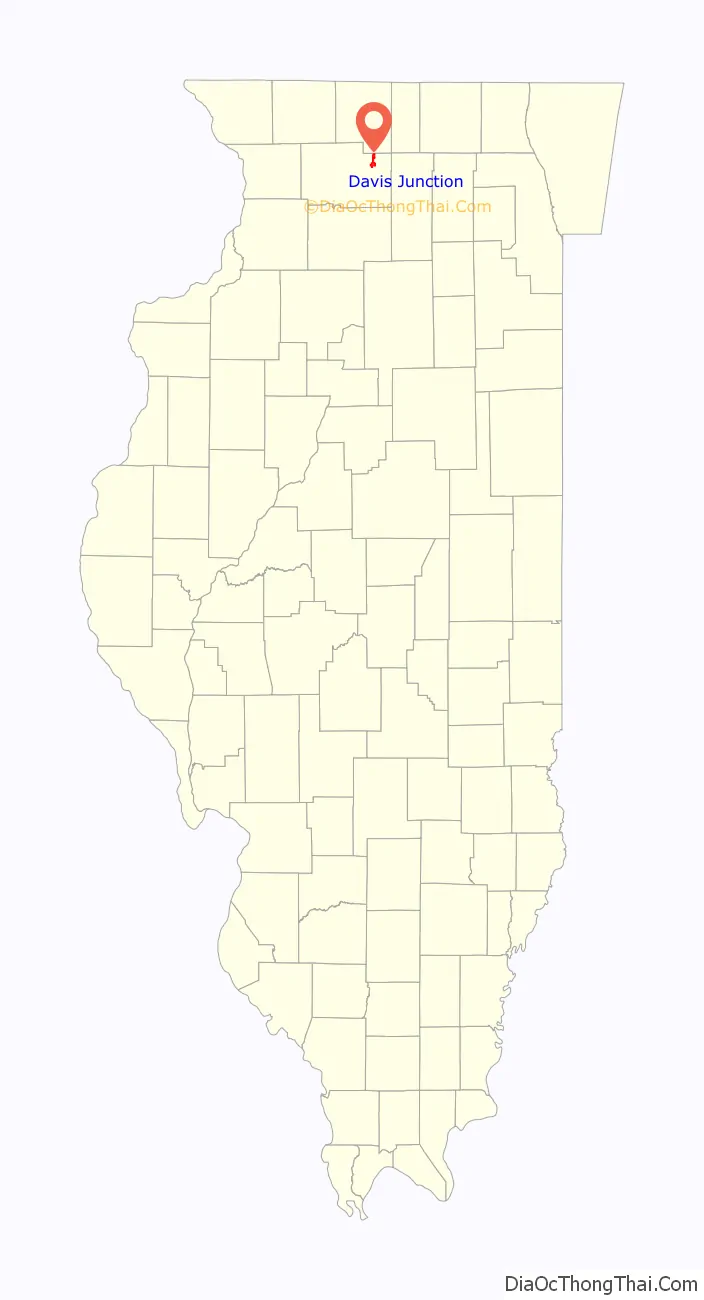
Davis Junction location map. Where is Davis Junction village?
History
Jeremiah Davis laid out Davis Junction in the 1870s, and named the settlement for himself. A post office has been in operation at Davis Junction since 1875.
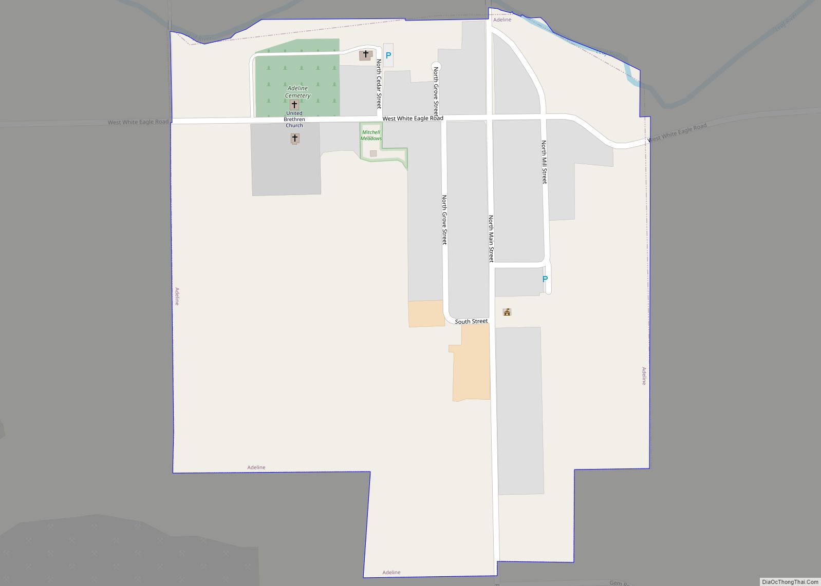
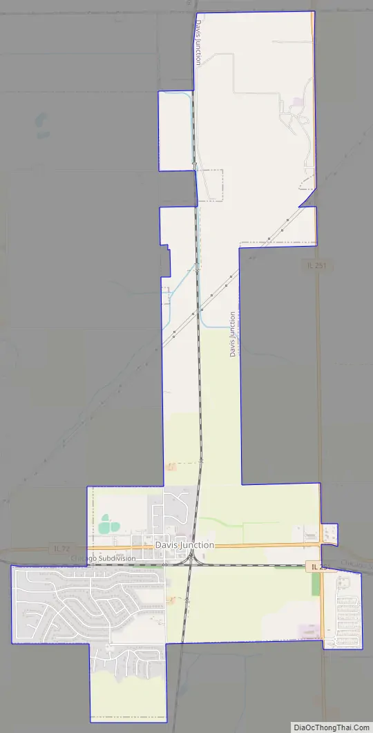
Davis Junction Road Map
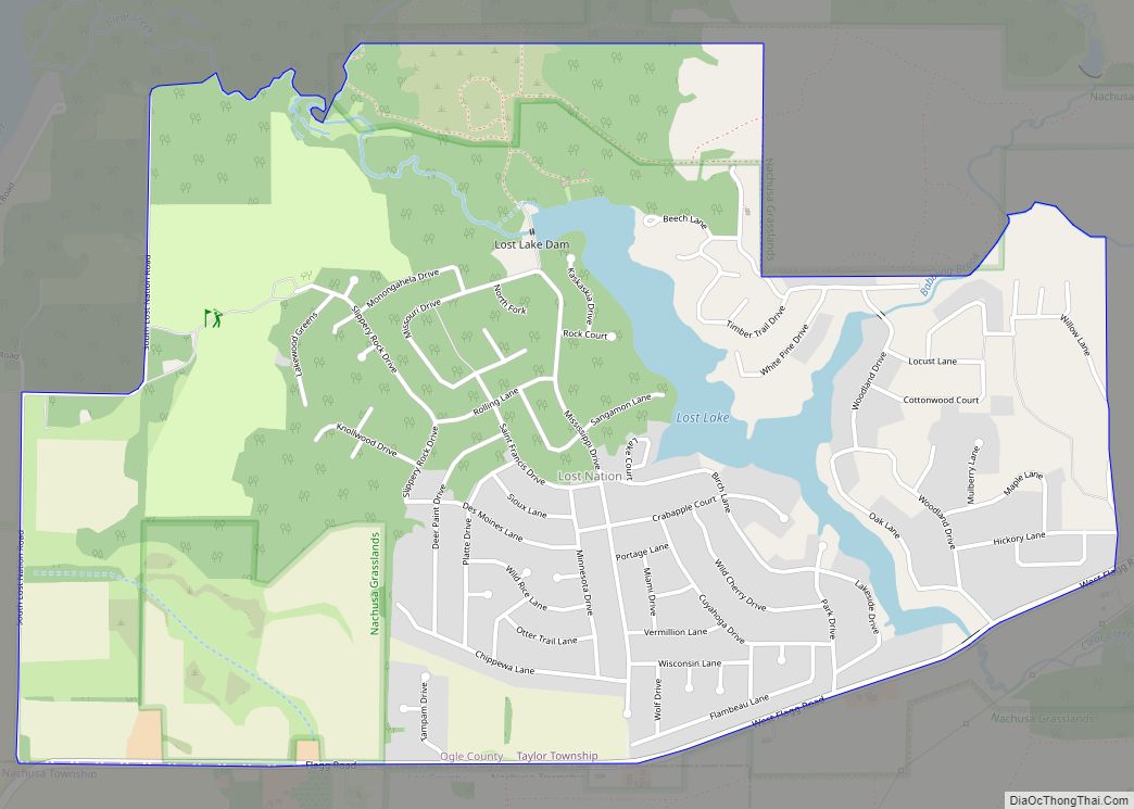
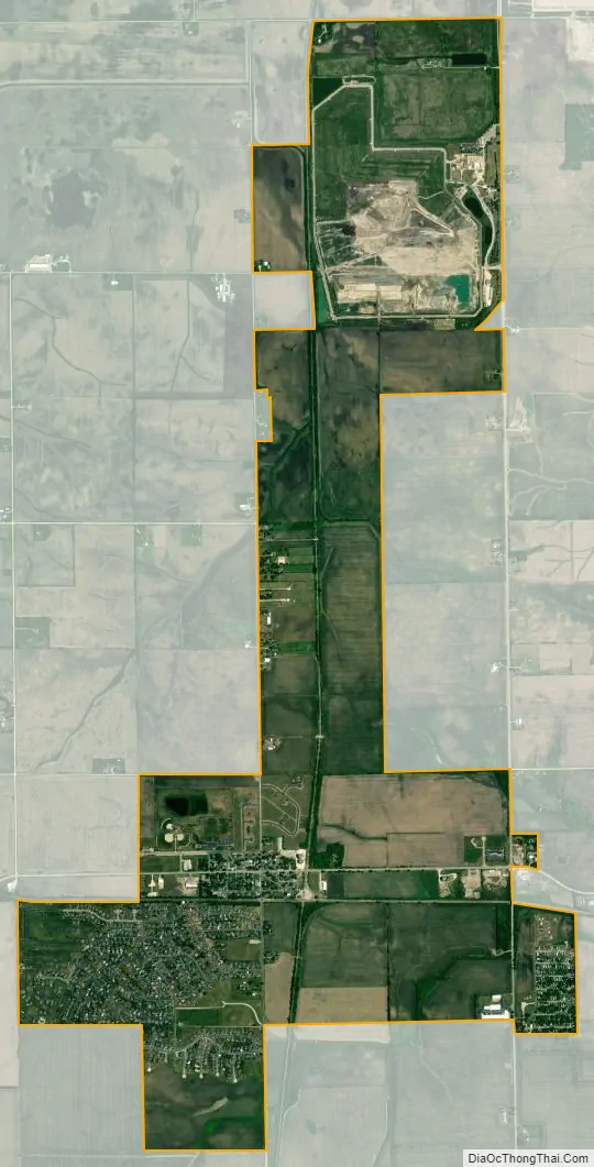
Davis Junction city Satellite Map
Geography
Davis Junction is located at 42°6′7″N 89°5′37″W / 42.10194°N 89.09361°W / 42.10194; -89.09361 (42.101928, -89.093696).
According to the 2010 census, Davis Junction has a total area of 4.24 square miles (10.98 km), all land.
See also
Map of Illinois State and its subdivision:- Adams
- Alexander
- Bond
- Boone
- Brown
- Bureau
- Calhoun
- Carroll
- Cass
- Champaign
- Christian
- Clark
- Clay
- Clinton
- Coles
- Cook
- Crawford
- Cumberland
- De Kalb
- De Witt
- Douglas
- Dupage
- Edgar
- Edwards
- Effingham
- Fayette
- Ford
- Franklin
- Fulton
- Gallatin
- Greene
- Grundy
- Hamilton
- Hancock
- Hardin
- Henderson
- Henry
- Iroquois
- Jackson
- Jasper
- Jefferson
- Jersey
- Jo Daviess
- Johnson
- Kane
- Kankakee
- Kendall
- Knox
- La Salle
- Lake
- Lake Michigan
- Lawrence
- Lee
- Livingston
- Logan
- Macon
- Macoupin
- Madison
- Marion
- Marshall
- Mason
- Massac
- McDonough
- McHenry
- McLean
- Menard
- Mercer
- Monroe
- Montgomery
- Morgan
- Moultrie
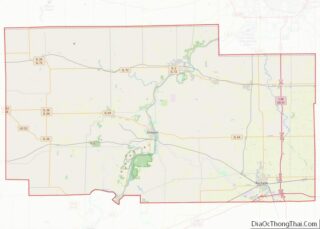
- Ogle
- Peoria
- Perry
- Piatt
- Pike
- Pope
- Pulaski
- Putnam
- Randolph
- Richland
- Rock Island
- Saint Clair
- Saline
- Sangamon
- Schuyler
- Scott
- Shelby
- Stark
- Stephenson
- Tazewell
- Union
- Vermilion
- Wabash
- Warren
- Washington
- Wayne
- White
- Whiteside
- Will
- Williamson
- Winnebago
- Woodford
- Alabama
- Alaska
- Arizona
- Arkansas
- California
- Colorado
- Connecticut
- Delaware
- District of Columbia
- Florida
- Georgia
- Hawaii
- Idaho
- Illinois
- Indiana
- Iowa
- Kansas
- Kentucky
- Louisiana
- Maine
- Maryland
- Massachusetts
- Michigan
- Minnesota
- Mississippi
- Missouri
- Montana
- Nebraska
- Nevada
- New Hampshire
- New Jersey
- New Mexico
- New York
- North Carolina
- North Dakota
- Ohio
- Oklahoma
- Oregon
- Pennsylvania
- Rhode Island
- South Carolina
- South Dakota
- Tennessee
- Texas
- Utah
- Vermont
- Virginia
- Washington
- West Virginia
- Wisconsin
- Wyoming