De Land is a village in Piatt County, Illinois, United States. The population was 446 at the 2010 census. The name of the village is spelled De Land by the census bureau. A few of the main shops are Casey’s General Store, Barnyard Treasures and Auction house, DeLand Farmer’s Grain Cooperative, and two antique shops.
| Name: | De Land village |
|---|---|
| LSAD Code: | 47 |
| LSAD Description: | village (suffix) |
| State: | Illinois |
| County: | Piatt County |
| Elevation: | 705 ft (215 m) |
| Total Area: | 0.42 sq mi (1.10 km²) |
| Land Area: | 0.42 sq mi (1.10 km²) |
| Water Area: | 0.00 sq mi (0.00 km²) |
| Total Population: | 447 |
| Population Density: | 1,054.25/sq mi (406.65/km²) |
| ZIP code: | 61839 |
| Area code: | 217 |
| FIPS code: | 1719200 |
Online Interactive Map
Click on ![]() to view map in "full screen" mode.
to view map in "full screen" mode.
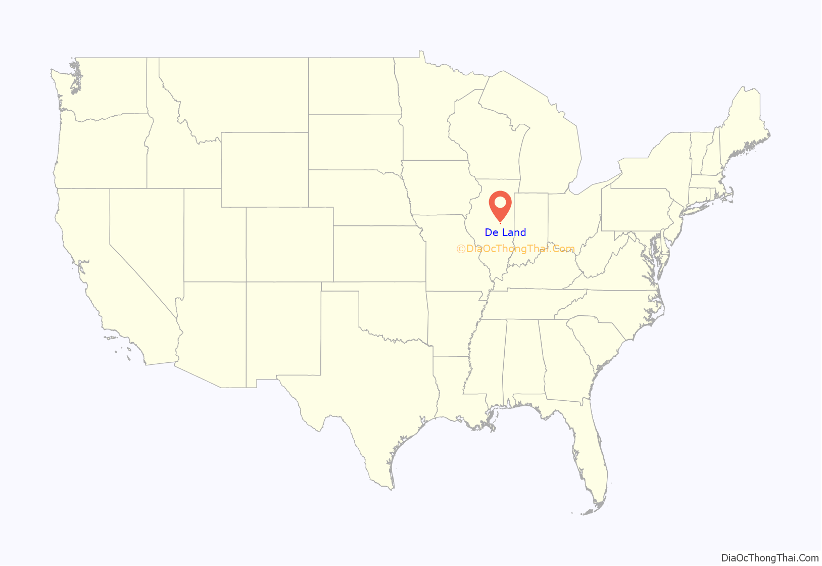
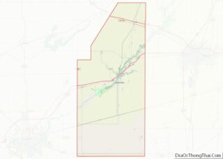
De Land location map. Where is De Land village?
History
DeLand was founded in 1873 by Thomas E. Bondurant. who had it laid out as an answer to the needs of the local farmers for a place from which to ship their grain. Before officially being named DeLand, the town was known as “Tom’s Town” in honor of Thomas Bondurant. The origination of the name DeLand has disputed sources, most tracing back to either James DeLand who helped bring the railroad to the area in 1872 or French DeLand a surveyor who is said to have laid out the town. The village was incorporated in 1899.
In 1912 a Carnegie Library was opened in DeLand with $8,000 provided by the Carnegie Corporation of New York, after a group of citizens including Tom McMillen, a local bank employee, and Lucy Thornton, the president of the Women’s Club, raised public support for the project. The original library building was closed in 2009 and all books and materials were moved to a building nearby.
In 2002, the De Land board of trustees acknowledged that it had passed a sundown town ordinance decades earlier.
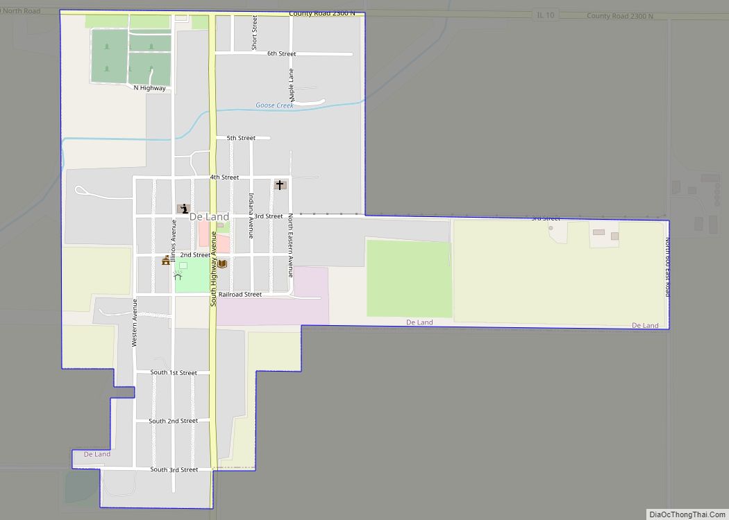
De Land Road Map
De Land city Satellite Map
Geography
According to the 2010 census, De Land has a total area of 0.41 square miles (1.06 km), all land.
See also
Map of Illinois State and its subdivision:- Adams
- Alexander
- Bond
- Boone
- Brown
- Bureau
- Calhoun
- Carroll
- Cass
- Champaign
- Christian
- Clark
- Clay
- Clinton
- Coles
- Cook
- Crawford
- Cumberland
- De Kalb
- De Witt
- Douglas
- Dupage
- Edgar
- Edwards
- Effingham
- Fayette
- Ford
- Franklin
- Fulton
- Gallatin
- Greene
- Grundy
- Hamilton
- Hancock
- Hardin
- Henderson
- Henry
- Iroquois
- Jackson
- Jasper
- Jefferson
- Jersey
- Jo Daviess
- Johnson
- Kane
- Kankakee
- Kendall
- Knox
- La Salle
- Lake
- Lake Michigan
- Lawrence
- Lee
- Livingston
- Logan
- Macon
- Macoupin
- Madison
- Marion
- Marshall
- Mason
- Massac
- McDonough
- McHenry
- McLean
- Menard
- Mercer
- Monroe
- Montgomery
- Morgan
- Moultrie
- Ogle
- Peoria
- Perry
- Piatt
- Pike
- Pope
- Pulaski
- Putnam
- Randolph
- Richland
- Rock Island
- Saint Clair
- Saline
- Sangamon
- Schuyler
- Scott
- Shelby
- Stark
- Stephenson
- Tazewell
- Union
- Vermilion
- Wabash
- Warren
- Washington
- Wayne
- White
- Whiteside
- Will
- Williamson
- Winnebago
- Woodford
- Alabama
- Alaska
- Arizona
- Arkansas
- California
- Colorado
- Connecticut
- Delaware
- District of Columbia
- Florida
- Georgia
- Hawaii
- Idaho
- Illinois
- Indiana
- Iowa
- Kansas
- Kentucky
- Louisiana
- Maine
- Maryland
- Massachusetts
- Michigan
- Minnesota
- Mississippi
- Missouri
- Montana
- Nebraska
- Nevada
- New Hampshire
- New Jersey
- New Mexico
- New York
- North Carolina
- North Dakota
- Ohio
- Oklahoma
- Oregon
- Pennsylvania
- Rhode Island
- South Carolina
- South Dakota
- Tennessee
- Texas
- Utah
- Vermont
- Virginia
- Washington
- West Virginia
- Wisconsin
- Wyoming
