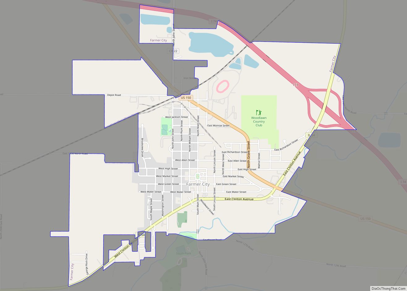
Farmer City is a city in DeWitt County, Illinois, United States. The population was 1,828 at the 2020 census.
Farmer City is part of Blue Ridge Community Unit School District 18 sharing facilities with nearby Mansfield and Bellflower, Illinois. Farmer City facilities include the District Unit Office, the Ruth M. Schneider Elementary School (K-3) and Blue Ridge High School. On May 30, 2018, the city declared itself a second amendment sanctuary.
| Name: | Farmer City city |
|---|---|
| LSAD Code: | 25 |
| LSAD Description: | city (suffix) |
| State: | Illinois |
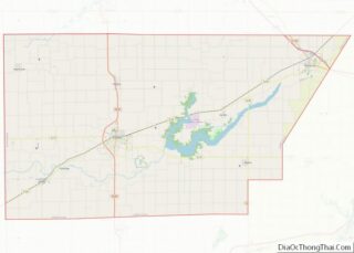
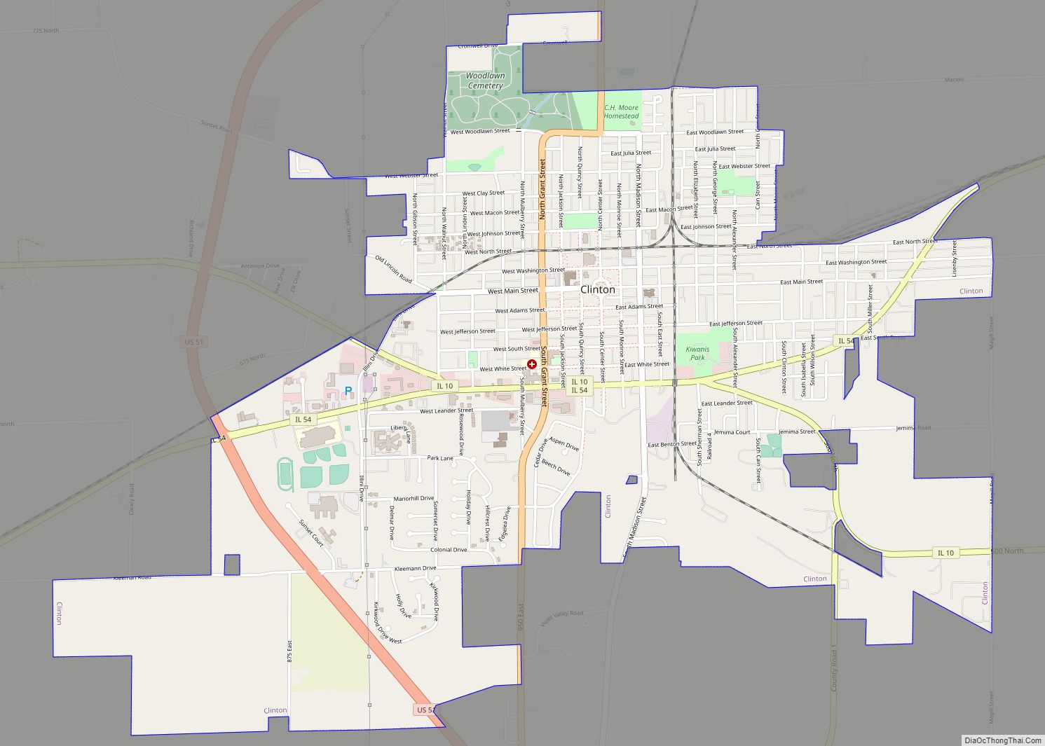
| County: | De Witt County |
| Elevation: | 715 ft (218 m) |
| Total Area: | 2.44 sq mi (6.33 km²) |
| Land Area: | 2.40 sq mi (6.20 km²) |
| Water Area: | 0.05 sq mi (0.12 km²) |
| Total Population: | 1,828 |
| Population Density: | 763.26/sq mi (294.73/km²) |
| Area code: | 309 |
| FIPS code: | 1725414 |
| GNISfeature ID: | 2394744 |
| Website: | cityoffarmercity.org |
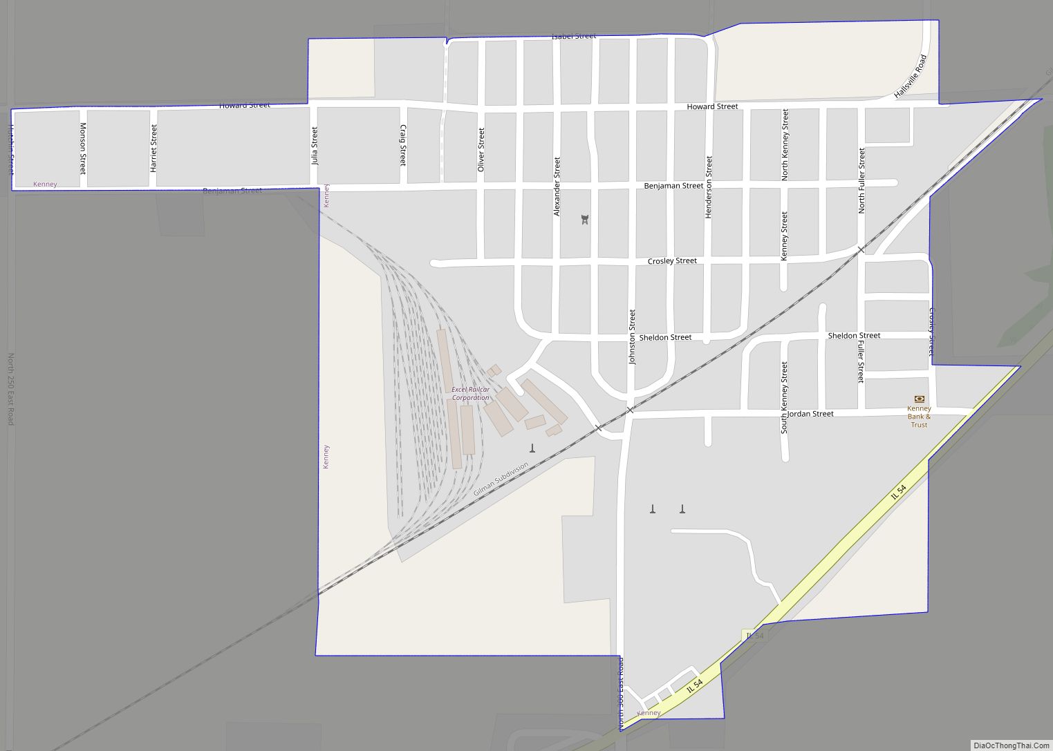
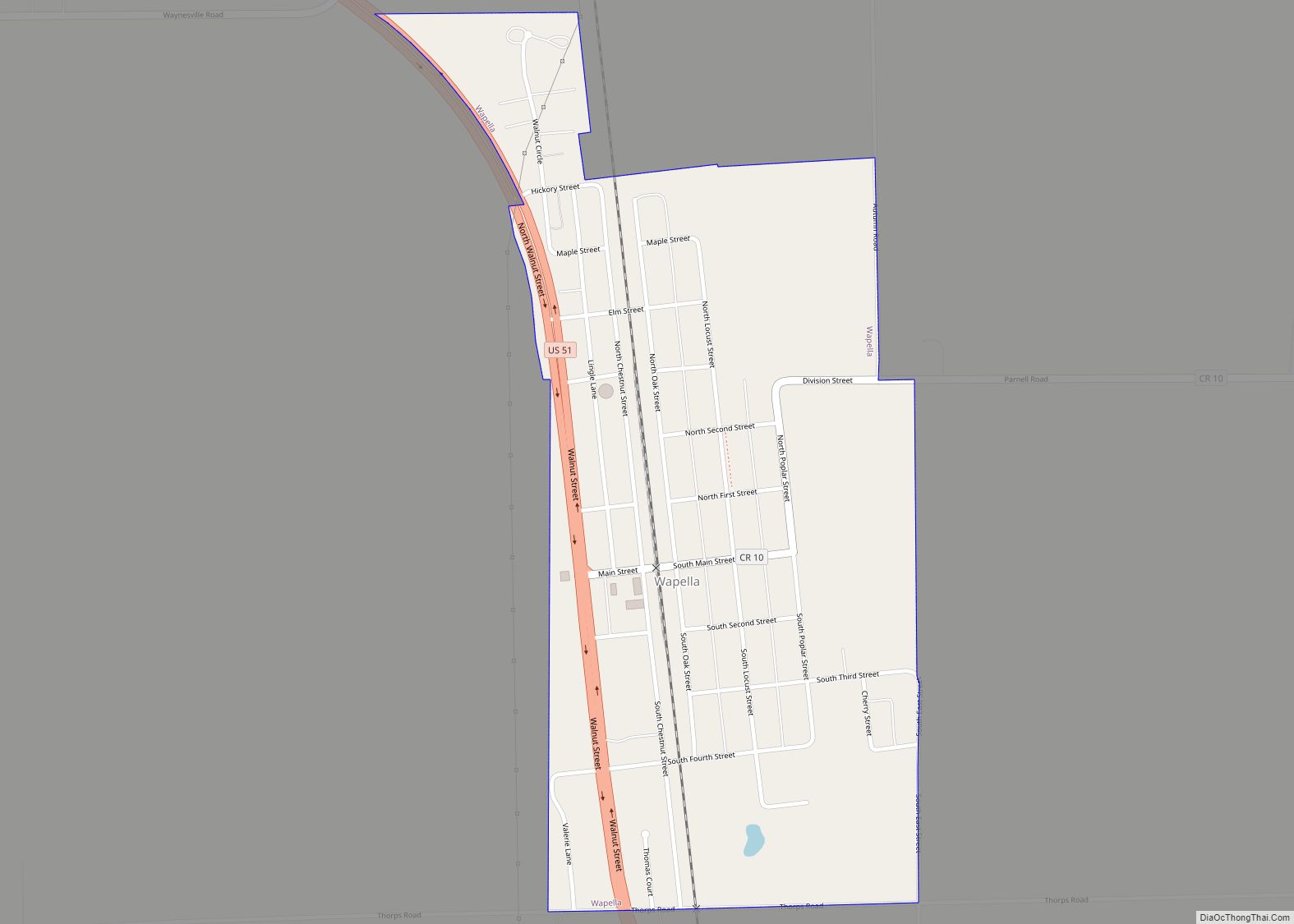
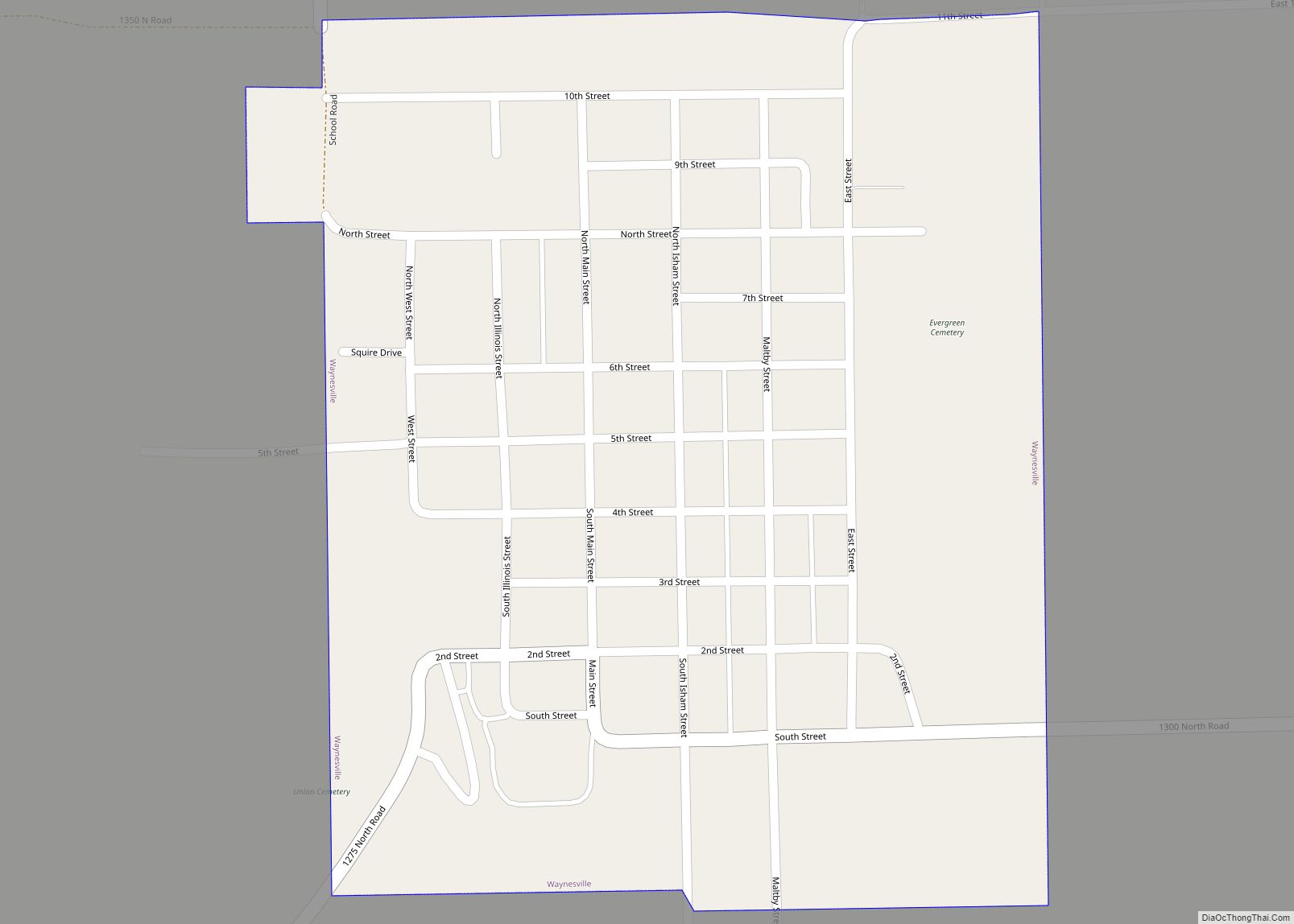
Online Interactive Map
Click on ![]() to view map in "full screen" mode.
to view map in "full screen" mode.
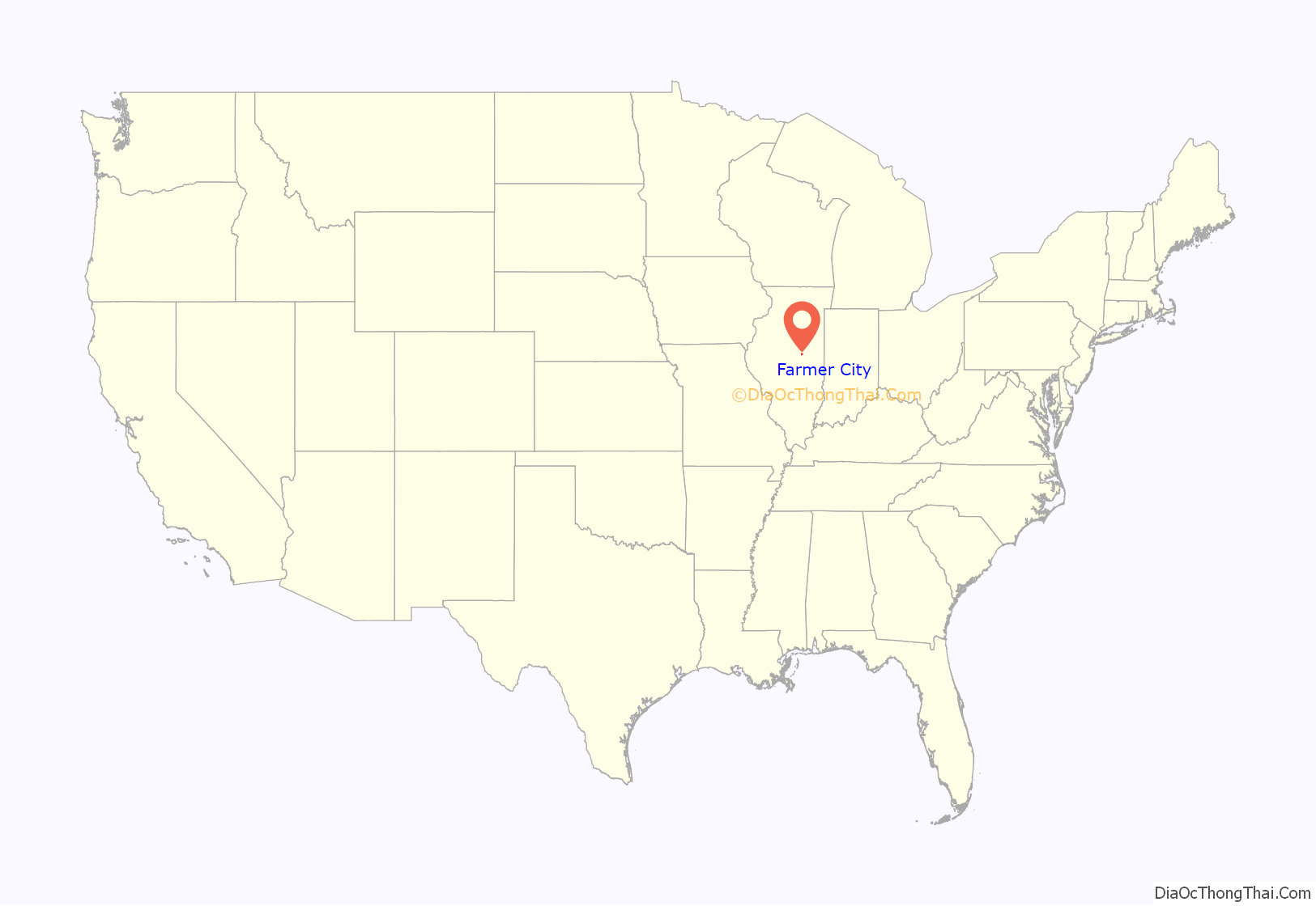
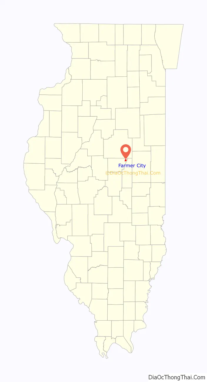
Farmer City location map. Where is Farmer City city?
History
The Kickapoo and Potawatomi Native American tribes lived on the prairie and woodlands around Salt Creek and other local streams. The westward push of traders and adventurers led to settlers around 1825. Dennis Hurley is believed to be the first white settler in the area. Hurley built a cabin in the area, which became known as Hurley’s Grove, with other families settling nearby. Some of the founding families were the Kirbys, McCords, Clearwaters, Watsons, Johnson, Webb, Blalach, Weedmans, Coveys, Cummings, and Huddlestons. Hurley’s Grove was just south of present-day Farmer City, with increased population by 1837, becoming part of DeWitt County in 1839.
The area to the south of Hurley’s Grove was solidified as a permanent settlement, due to the safety of the area’s wooded terrain. North of the primary area became known as Mt. Pleasant. Subdivision of the land divided the area into 14 blocks, with a central public square. The first residence built was that of Nathan Clearwater, and William McFall opened a store in 1837. Mail delivery was established in 1837, but with another Mt. Pleasant in the state, the name changed to Santa Anna.
Dewitt County was part of the Eighth Judicial District in the early 1850s, and lawyer Abraham Lincoln traveled in the area many times on his circuit; he was well respected by county residents. C. H. Moore House in nearby Clinton is the former residence of Lincoln’s co-counsel in various cases.
The settlement grew in population and physical size, with the center of activity moving northward. The area became connected in 1870 by rail, prospering; that year’s census listed 1276 people in the township, and 537 in Mt. Pleasant. The necessity of an official name arose in 1869, with Farmer City chosen after much discussion and debate. The business district was destroyed in 1879 by a major fire, but the town was rebuilt. The rebuilding process had to be rebooted after an 1894 fire destroyed the new business district.
The early years of the next century saw Farmer City grow into a bustling community. A newspaper, the Public Reaper, first printed on November 27, 1879. City fathers helped usher the area into a modern era, with utilities such as a water tower (1920). The new business district was joined by schools, churches, and fine homes. Interstate 74 was completed in the early 1970s. In 1980, an extensive study of the dialect of Farmer City was completed, making the city well known in the field of sociolinguistics.
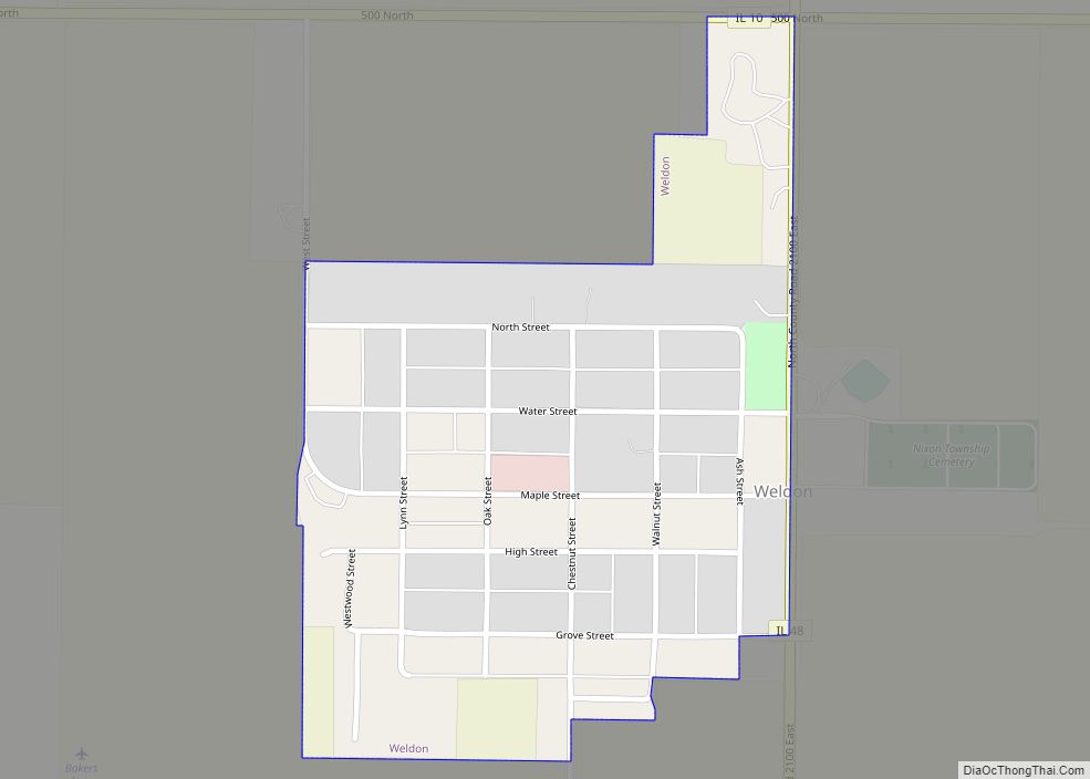
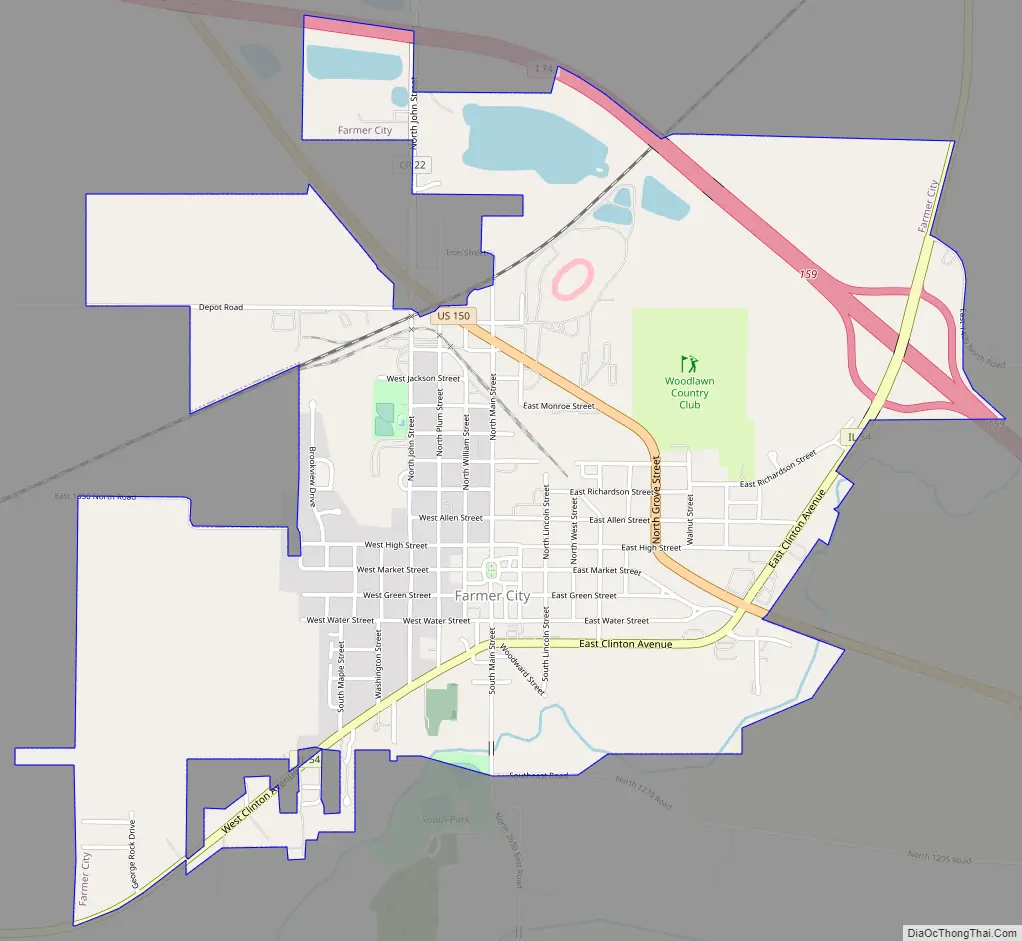
Farmer City Road Map
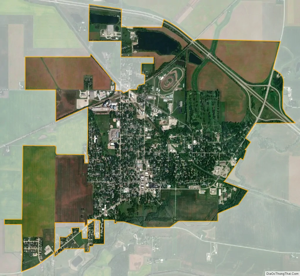
Farmer City city Satellite Map
Geography
According to the 2010 census, Farmer City has a total area of 2.449 square miles (6.34 km), of which 2.4 square miles (6.22 km) (or 98%) is land and 0.049 square miles (0.13 km) (or 2%) is water.
See also
Map of Illinois State and its subdivision:- Adams
- Alexander
- Bond
- Boone
- Brown
- Bureau
- Calhoun
- Carroll
- Cass
- Champaign
- Christian
- Clark
- Clay
- Clinton
- Coles
- Cook
- Crawford
- Cumberland
- De Kalb
- De Witt
- Douglas
- Dupage
- Edgar
- Edwards
- Effingham
- Fayette
- Ford
- Franklin
- Fulton
- Gallatin
- Greene
- Grundy
- Hamilton
- Hancock
- Hardin
- Henderson
- Henry
- Iroquois
- Jackson
- Jasper
- Jefferson
- Jersey
- Jo Daviess
- Johnson
- Kane
- Kankakee
- Kendall
- Knox
- La Salle
- Lake
- Lake Michigan
- Lawrence
- Lee
- Livingston
- Logan
- Macon
- Macoupin
- Madison
- Marion
- Marshall
- Mason
- Massac
- McDonough
- McHenry
- McLean
- Menard
- Mercer
- Monroe
- Montgomery
- Morgan
- Moultrie
- Ogle
- Peoria
- Perry
- Piatt
- Pike
- Pope
- Pulaski
- Putnam
- Randolph
- Richland
- Rock Island
- Saint Clair
- Saline
- Sangamon
- Schuyler
- Scott
- Shelby
- Stark
- Stephenson
- Tazewell
- Union
- Vermilion
- Wabash
- Warren
- Washington
- Wayne
- White
- Whiteside
- Will
- Williamson
- Winnebago
- Woodford
- Alabama
- Alaska
- Arizona
- Arkansas
- California
- Colorado
- Connecticut
- Delaware
- District of Columbia
- Florida
- Georgia
- Hawaii
- Idaho
- Illinois
- Indiana
- Iowa
- Kansas
- Kentucky
- Louisiana
- Maine
- Maryland
- Massachusetts
- Michigan
- Minnesota
- Mississippi
- Missouri
- Montana
- Nebraska
- Nevada
- New Hampshire
- New Jersey
- New Mexico
- New York
- North Carolina
- North Dakota
- Ohio
- Oklahoma
- Oregon
- Pennsylvania
- Rhode Island
- South Carolina
- South Dakota
- Tennessee
- Texas
- Utah
- Vermont
- Virginia
- Washington
- West Virginia
- Wisconsin
- Wyoming