Iroquois is a village in Concord Township, Iroquois County, Illinois, United States, along the Iroquois River. As of the 2010 census the population was 154, down from 207 at the 2000 census.
| Name: | Iroquois village |
|---|---|
| LSAD Code: | 47 |
| LSAD Description: | village (suffix) |
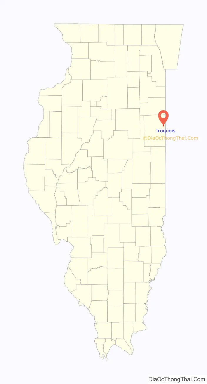
| State: | Illinois |
| County: | Iroquois County |
| Elevation: | 659 ft (201 m) |
| Total Area: | 0.57 sq mi (1.47 km²) |
| Land Area: | 0.57 sq mi (1.47 km²) |
| Water Area: | 0.00 sq mi (0.00 km²) |
| Total Population: | 133 |
| Population Density: | 234.57/sq mi (90.59/km²) |
| ZIP code: | 60945 |
| Area code: | 815 |
| FIPS code: | 1737712 |
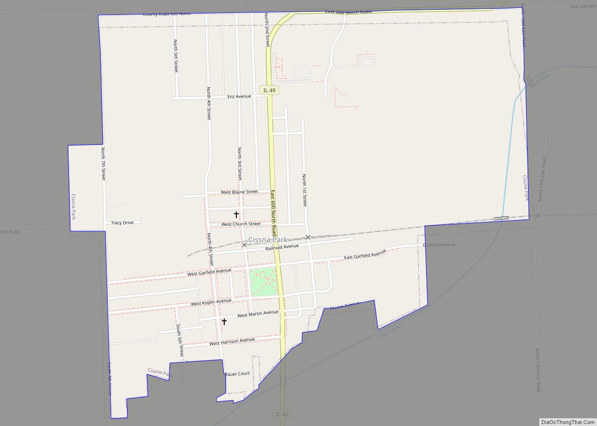
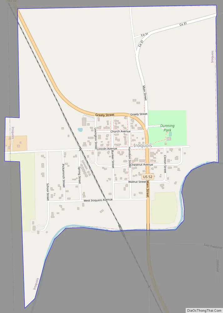
Online Interactive Map
Click on ![]() to view map in "full screen" mode.
to view map in "full screen" mode.
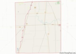
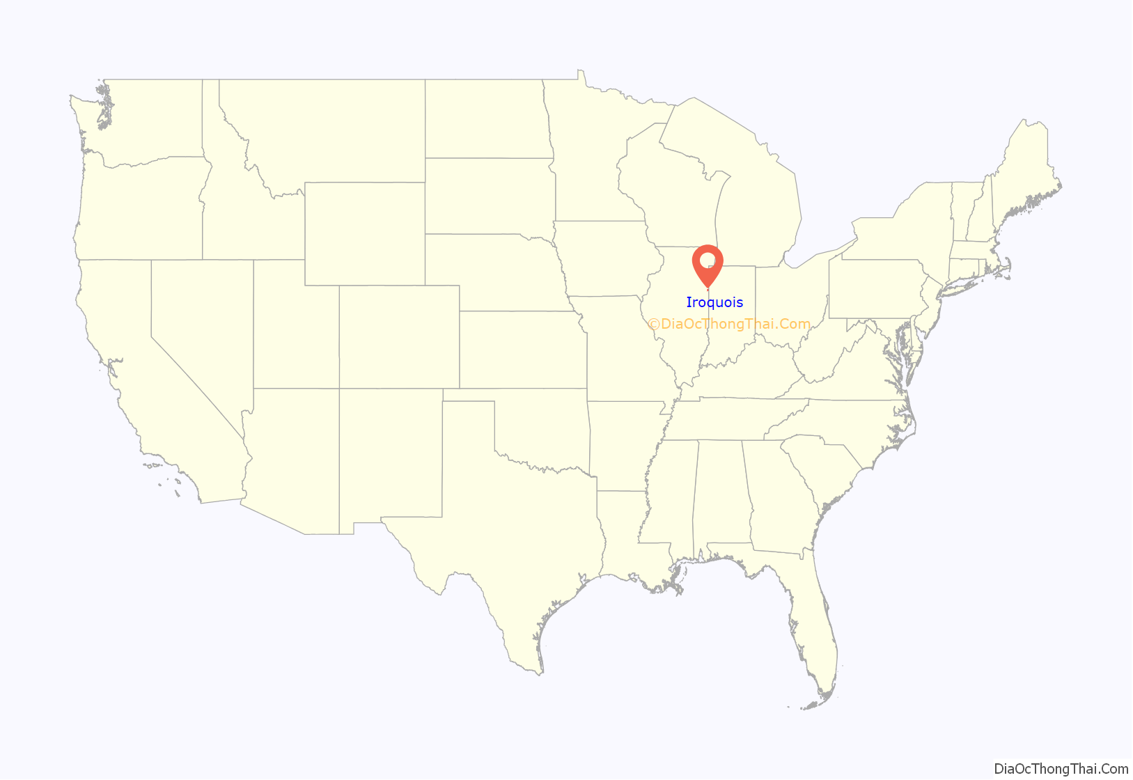
Iroquois location map. Where is Iroquois village?
Iroquois Road Map
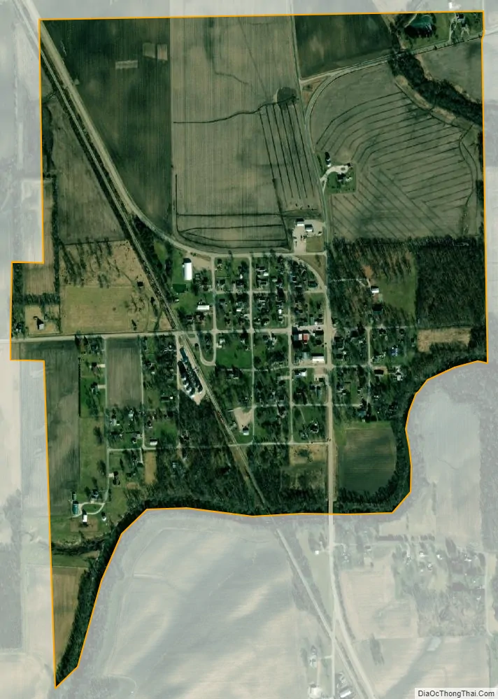
Iroquois city Satellite Map
Geography
Iroquois is located in eastern Iroquois County at 40°49’40” North, 87°35’1″ West (40.827880, -87.583591). It sits on the north side of the Iroquois River, a west-flowing tributary of the Kankakee River and part of the Illinois River watershed.
U.S. Route 52 passes through the village, leading south 4 miles (6 km) to Sheldon and northwest the same distance to Donovan. The Indiana border is 3 miles (5 km) to the east via County Highway 31.
According to the 2010 census, Iroquois has a total area of 0.6 square miles (1.55 km), all land.
See also
Map of Illinois State and its subdivision:- Adams
- Alexander
- Bond
- Boone
- Brown
- Bureau
- Calhoun
- Carroll
- Cass
- Champaign
- Christian
- Clark
- Clay
- Clinton
- Coles
- Cook
- Crawford
- Cumberland
- De Kalb
- De Witt
- Douglas
- Dupage
- Edgar
- Edwards
- Effingham
- Fayette
- Ford
- Franklin
- Fulton
- Gallatin
- Greene
- Grundy
- Hamilton
- Hancock
- Hardin
- Henderson
- Henry
- Iroquois
- Jackson
- Jasper
- Jefferson
- Jersey
- Jo Daviess
- Johnson
- Kane
- Kankakee
- Kendall
- Knox
- La Salle
- Lake
- Lake Michigan
- Lawrence
- Lee
- Livingston
- Logan
- Macon
- Macoupin
- Madison
- Marion
- Marshall
- Mason
- Massac
- McDonough
- McHenry
- McLean
- Menard
- Mercer
- Monroe
- Montgomery
- Morgan
- Moultrie
- Ogle
- Peoria
- Perry
- Piatt
- Pike
- Pope
- Pulaski
- Putnam
- Randolph
- Richland
- Rock Island
- Saint Clair
- Saline
- Sangamon
- Schuyler
- Scott
- Shelby
- Stark
- Stephenson
- Tazewell
- Union
- Vermilion
- Wabash
- Warren
- Washington
- Wayne
- White
- Whiteside
- Will
- Williamson
- Winnebago
- Woodford
- Alabama
- Alaska
- Arizona
- Arkansas
- California
- Colorado
- Connecticut
- Delaware
- District of Columbia
- Florida
- Georgia
- Hawaii
- Idaho
- Illinois
- Indiana
- Iowa
- Kansas
- Kentucky
- Louisiana
- Maine
- Maryland
- Massachusetts
- Michigan
- Minnesota
- Mississippi
- Missouri
- Montana
- Nebraska
- Nevada
- New Hampshire
- New Jersey
- New Mexico
- New York
- North Carolina
- North Dakota
- Ohio
- Oklahoma
- Oregon
- Pennsylvania
- Rhode Island
- South Carolina
- South Dakota
- Tennessee
- Texas
- Utah
- Vermont
- Virginia
- Washington
- West Virginia
- Wisconsin
- Wyoming