Knoxville is a city in Knox County, Illinois, United States. The population was 2,911 at the 2010 census. It is part of the Galesburg Micropolitan Statistical Area.
| Name: | Knoxville city |
|---|---|
| LSAD Code: | 25 |
| LSAD Description: | city (suffix) |
| State: | Illinois |
| County: | Knox County |
| Founded: | 1831 |
| Elevation: | 764 ft (233 m) |
| Total Area: | 2.35 sq mi (6.09 km²) |
| Land Area: | 2.35 sq mi (6.09 km²) |
| Water Area: | 0.00 sq mi (0.00 km²) |
| Total Population: | 2,901 |
| Population Density: | 1,234.47/sq mi (476.71/km²) |
| Area code: | 309 |
| FIPS code: | 1740416 |
| GNISfeature ID: | 2395558 |
| Website: | kville.org |
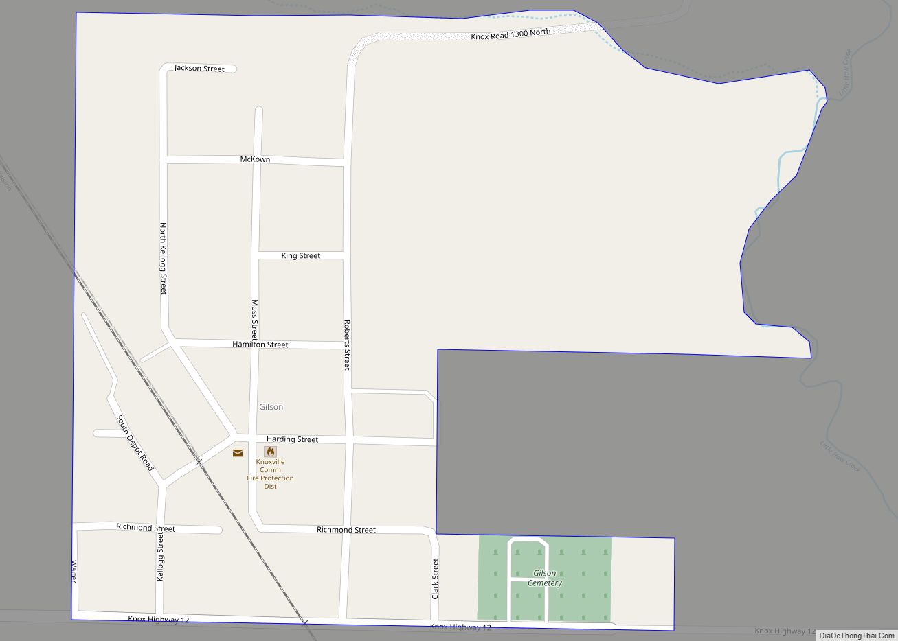
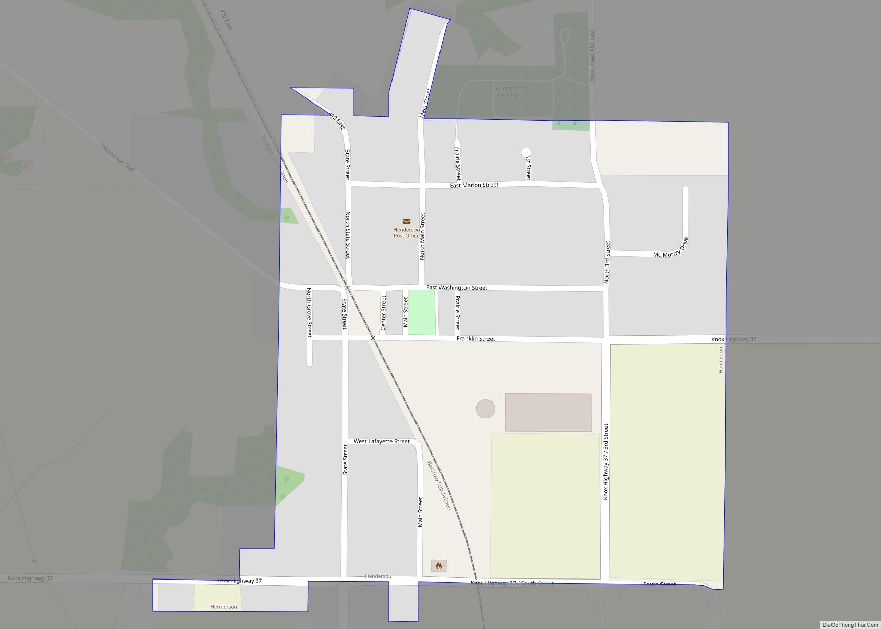
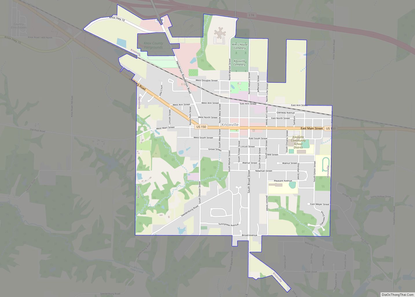
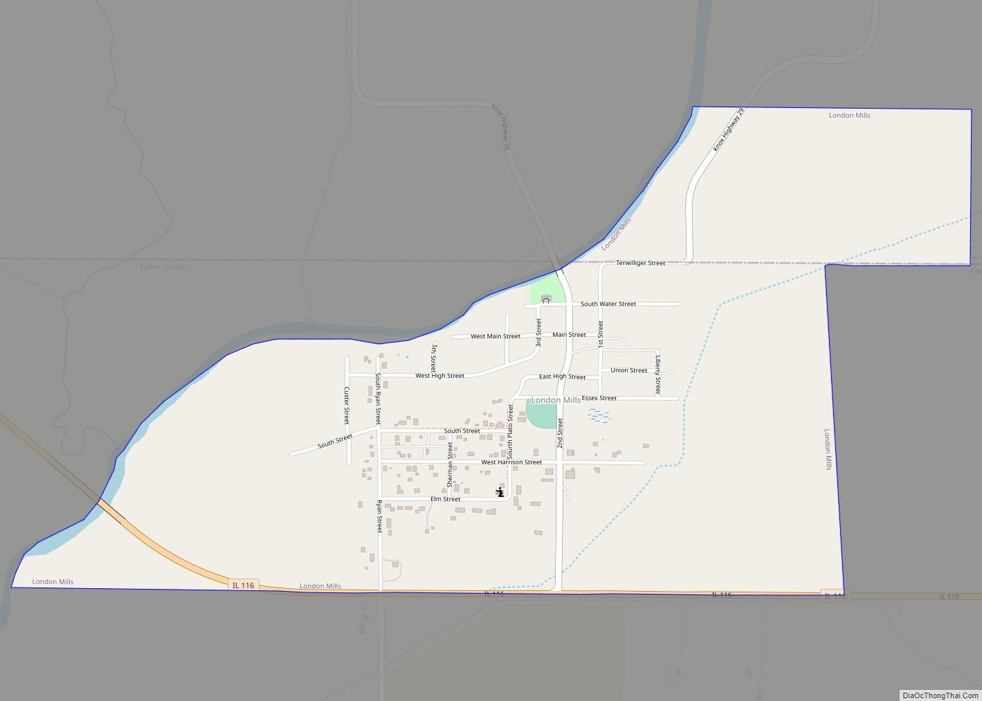
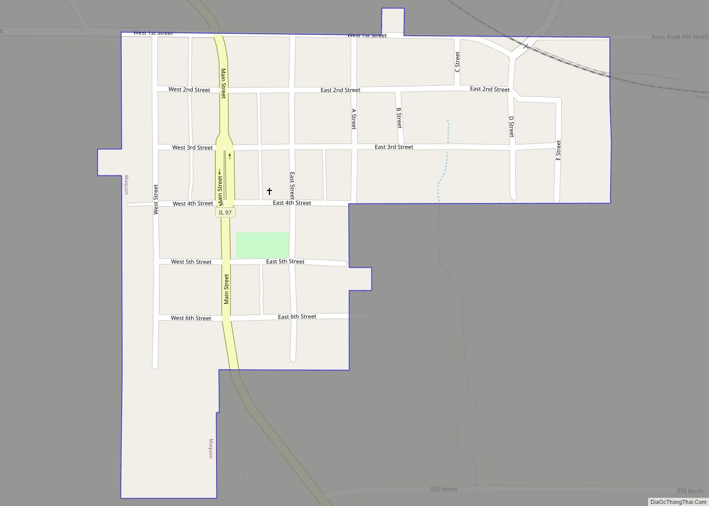
Online Interactive Map
Click on ![]() to view map in "full screen" mode.
to view map in "full screen" mode.
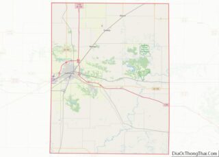
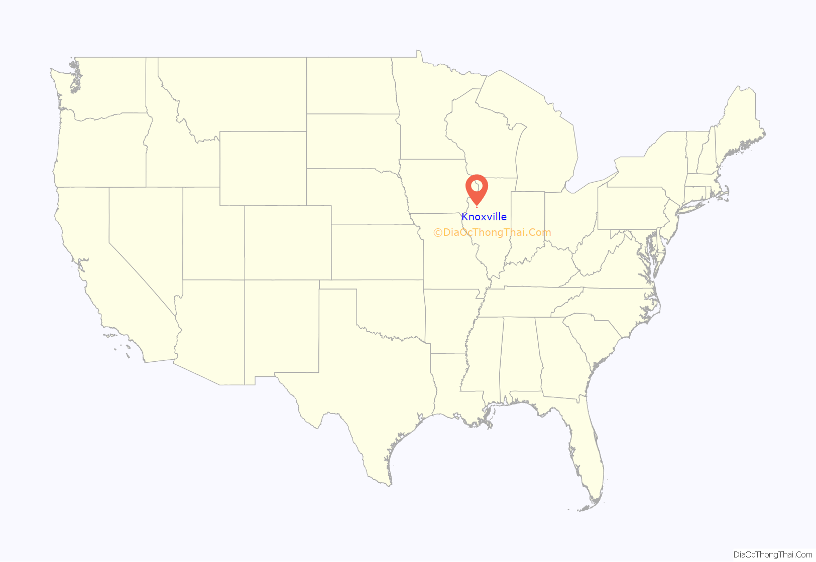
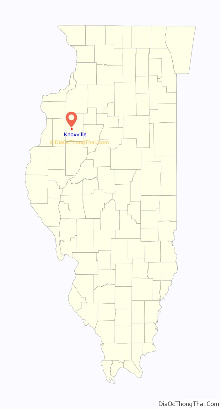
Knoxville location map. Where is Knoxville city?
History
Knoxville was established on January 15, 1831, and called Henderson until its name was changed to Knoxville on December 22, 1832 when it became the county seat. It was one of the first 10 municipalities incorporated in the state and is the oldest town in Knox County. James Knox was a notable early resident.
Knoxville was the county seat until 1873, when the county seat was moved to Galesburg. The first Knox County Courthouse, completed in 1839, and second Knox County jail, completed in 1845, still stand in Knoxville and are registered on the National Register of Historic Places. The two buildings and Knoxville’s first general store, the Sanburn Log Cabin, built in 1832, have been restored and are open to the public. The county’s Hall of Records, built in 1854, is used as Knoxville’s City Hall.
The log cabin of John G. Sanburn was not discovered until decades after his death, when it was nearly destroyed. In 1832, Sanburn settled in Knoxville to open the first shop, which also served as the first post office. He was the first county clerk, circuit clerk, Indian master, and probate judge, as well as shopkeeper and postmaster. Years later, as the house built around Sanburn’s cabin was being demolished, a nosey neighbor spied the underlying log structure and alerted the authorities. At that time the owner of the property, Bernice LaFollette, donated the cabin to the city as a museum.
Typical log cabins like Sanburn’s measured about 14′ x 14′ wide and 7′-8′ high with 9″ walnut lincoln logs, wooden door hinges, and clapboard shingles. The entire area of Sanburn’s cabin and general store served as a kitchen while encased in Johnson’s home. A restoration in 1964 insured proper security and insulation that Sanburn did not enjoy in the 1830s, including glass windows and cement sealant to replace clay and hay between logs.
The cabin contains general store memorabilia for display and a picture of an 1852 penny discovered in the foundation when the house was moved from the south to the north side of the square for restoration. The John G Sanburn Log Cabin is maintained by the Knox County Historic Sites. It is open for public view during the first two weekends in October for the Knox County Scenic Drive and from 2-4 p.m. Sundays, May–September.
The Old Knox County Jail was the location of the only legal hanging in Knox County when John Osborne was hanged March 14, 1873, for the murder and sodomy of Adelia M. Mathews, Yates City.
Abraham Lincoln stayed in Knoxville on his way to his debate with Stephen A. Douglas at Knox College in 1858. The hotel that he spent the night in was demolished but a plaque on the building currently at the site commemorates the occasion.
Knoxville Road Map
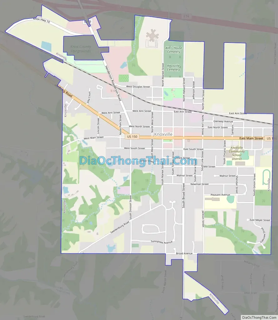
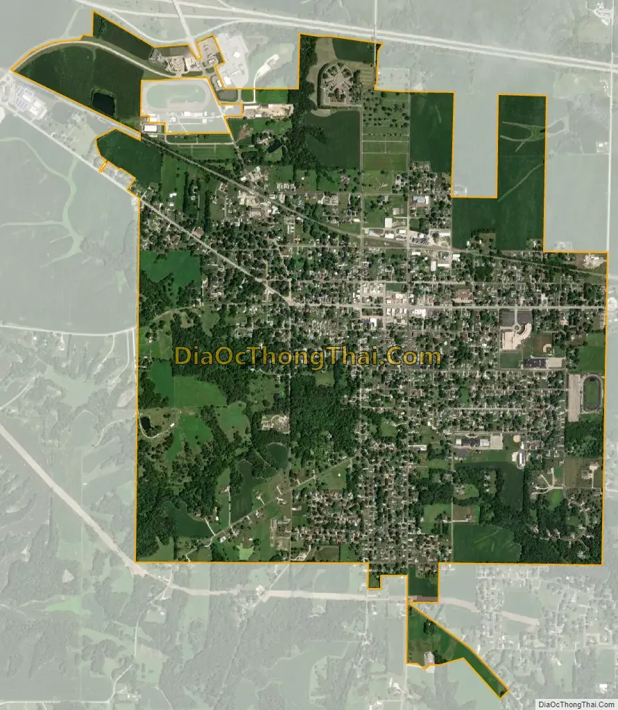
Knoxville city Satellite Map
Geography
According to the 2010 census, Knoxville has a total area of 2.32 square miles (6.01 km), all land.
Climate
See also
Map of Illinois State and its subdivision:- Adams
- Alexander
- Bond
- Boone
- Brown
- Bureau
- Calhoun
- Carroll
- Cass
- Champaign
- Christian
- Clark
- Clay
- Clinton
- Coles
- Cook
- Crawford
- Cumberland
- De Kalb
- De Witt
- Douglas
- Dupage
- Edgar
- Edwards
- Effingham
- Fayette
- Ford
- Franklin
- Fulton
- Gallatin
- Greene
- Grundy
- Hamilton
- Hancock
- Hardin
- Henderson
- Henry
- Iroquois
- Jackson
- Jasper
- Jefferson
- Jersey
- Jo Daviess
- Johnson
- Kane
- Kankakee
- Kendall
- Knox
- La Salle
- Lake
- Lake Michigan
- Lawrence
- Lee
- Livingston
- Logan
- Macon
- Macoupin
- Madison
- Marion
- Marshall
- Mason
- Massac
- McDonough
- McHenry
- McLean
- Menard
- Mercer
- Monroe
- Montgomery
- Morgan
- Moultrie
- Ogle
- Peoria
- Perry
- Piatt
- Pike
- Pope
- Pulaski
- Putnam
- Randolph
- Richland
- Rock Island
- Saint Clair
- Saline
- Sangamon
- Schuyler
- Scott
- Shelby
- Stark
- Stephenson
- Tazewell
- Union
- Vermilion
- Wabash
- Warren
- Washington
- Wayne
- White
- Whiteside
- Will
- Williamson
- Winnebago
- Woodford
- Alabama
- Alaska
- Arizona
- Arkansas
- California
- Colorado
- Connecticut
- Delaware
- District of Columbia
- Florida
- Georgia
- Hawaii
- Idaho
- Illinois
- Indiana
- Iowa
- Kansas
- Kentucky
- Louisiana
- Maine
- Maryland
- Massachusetts
- Michigan
- Minnesota
- Mississippi
- Missouri
- Montana
- Nebraska
- Nevada
- New Hampshire
- New Jersey
- New Mexico
- New York
- North Carolina
- North Dakota
- Ohio
- Oklahoma
- Oregon
- Pennsylvania
- Rhode Island
- South Carolina
- South Dakota
- Tennessee
- Texas
- Utah
- Vermont
- Virginia
- Washington
- West Virginia
- Wisconsin
- Wyoming