Leonore is a village in LaSalle County, Illinois, United States. The population was 121 at the 2020 census. It is part of the Ottawa Micropolitan Statistical Area.
| Name: | Leonore village |
|---|---|
| LSAD Code: | 47 |
| LSAD Description: | village (suffix) |
| State: | Illinois |
| County: | LaSalle County |
| Incorporated: | April 20, 1891 |
| Elevation: | 679 ft (207 m) |
| Total Area: | 0.09 sq mi (0.23 km²) |
| Land Area: | 0.09 sq mi (0.23 km²) |
| Water Area: | 0.00 sq mi (0.00 km²) |
| Total Population: | 121 |
| Population Density: | 1,359.55/sq mi (525.96/km²) |
| ZIP code: | 61332 |
| Area code: | 815 |
| FIPS code: | 1742912 |
| GNISfeature ID: | 2398423 |
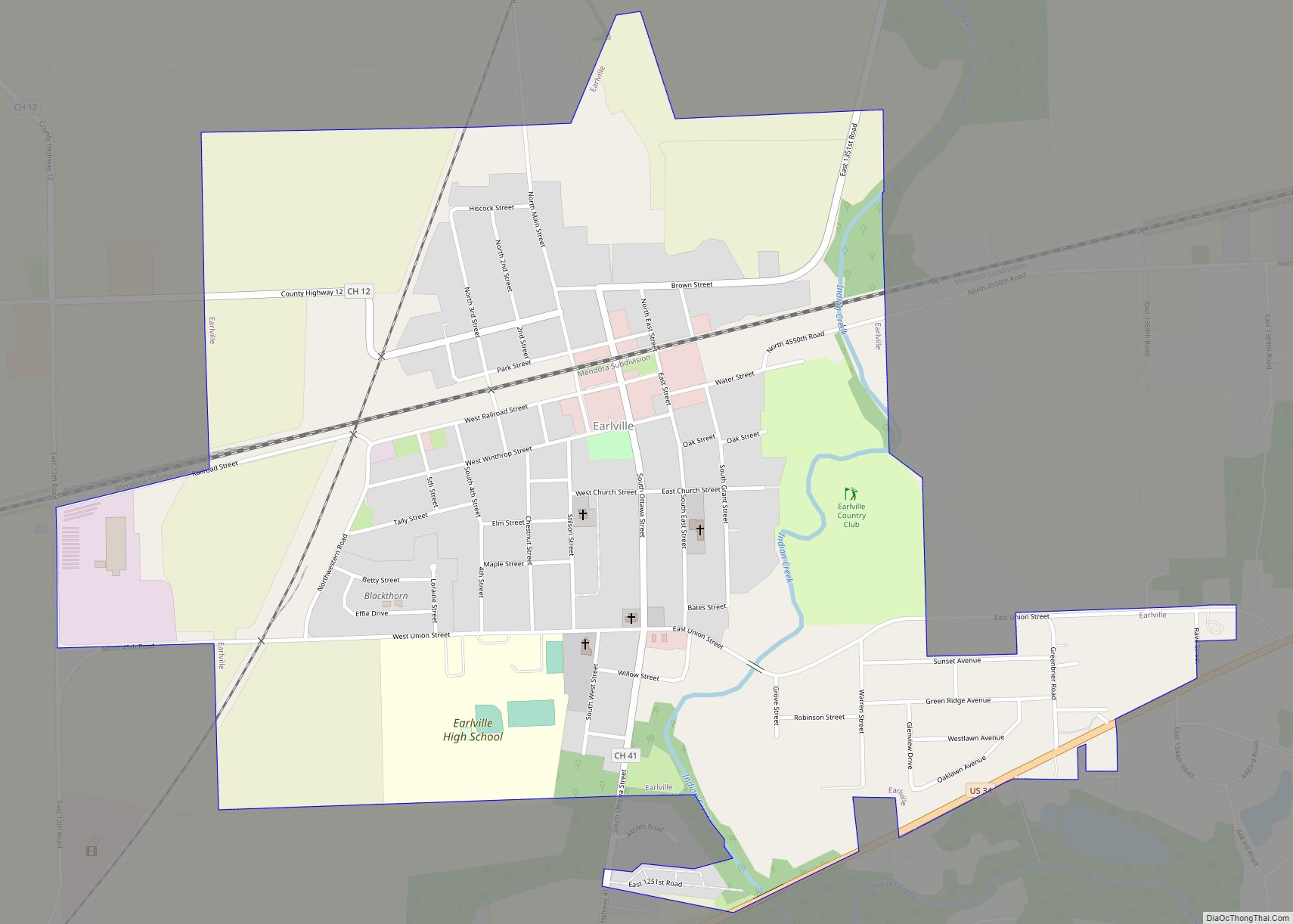
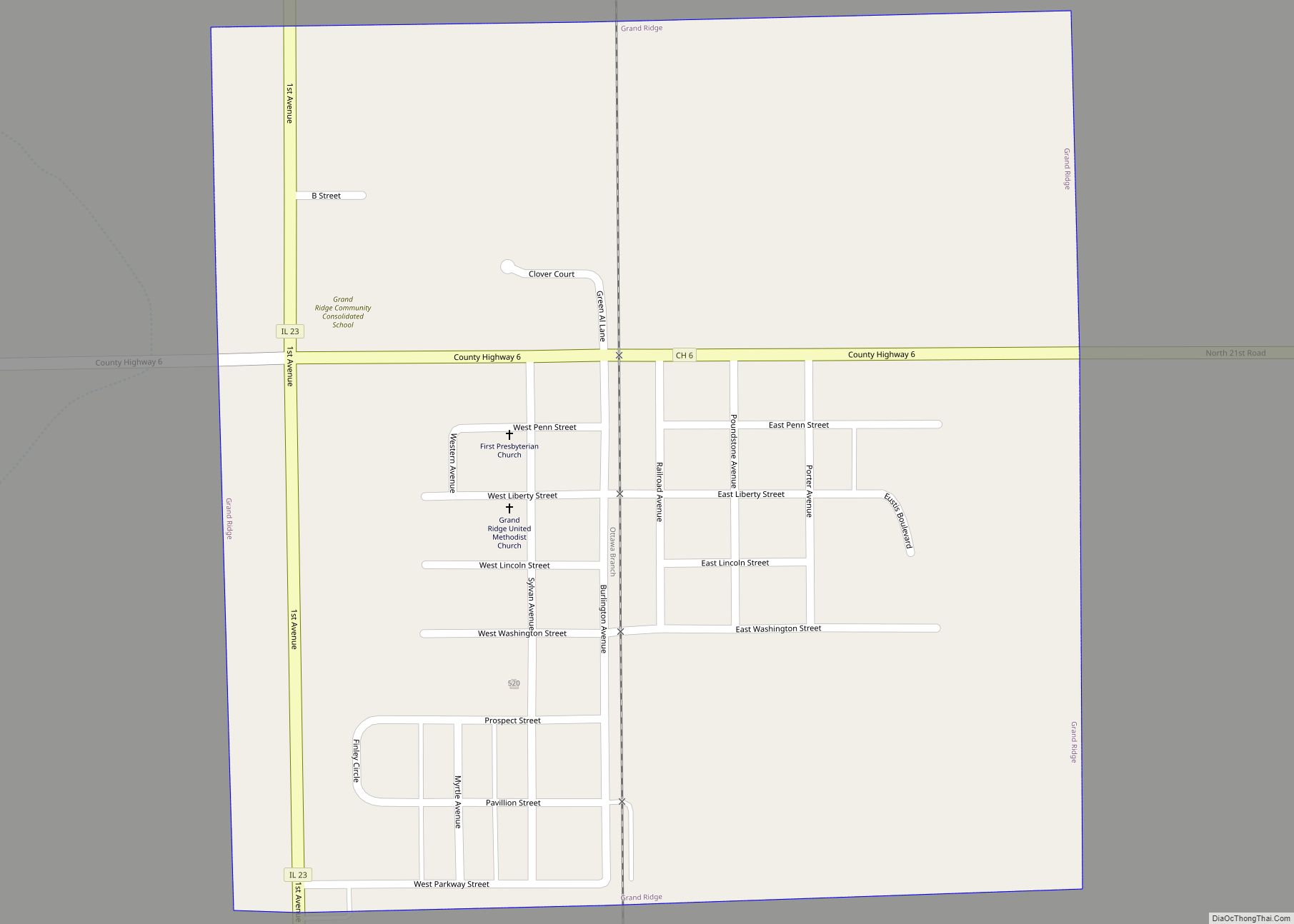
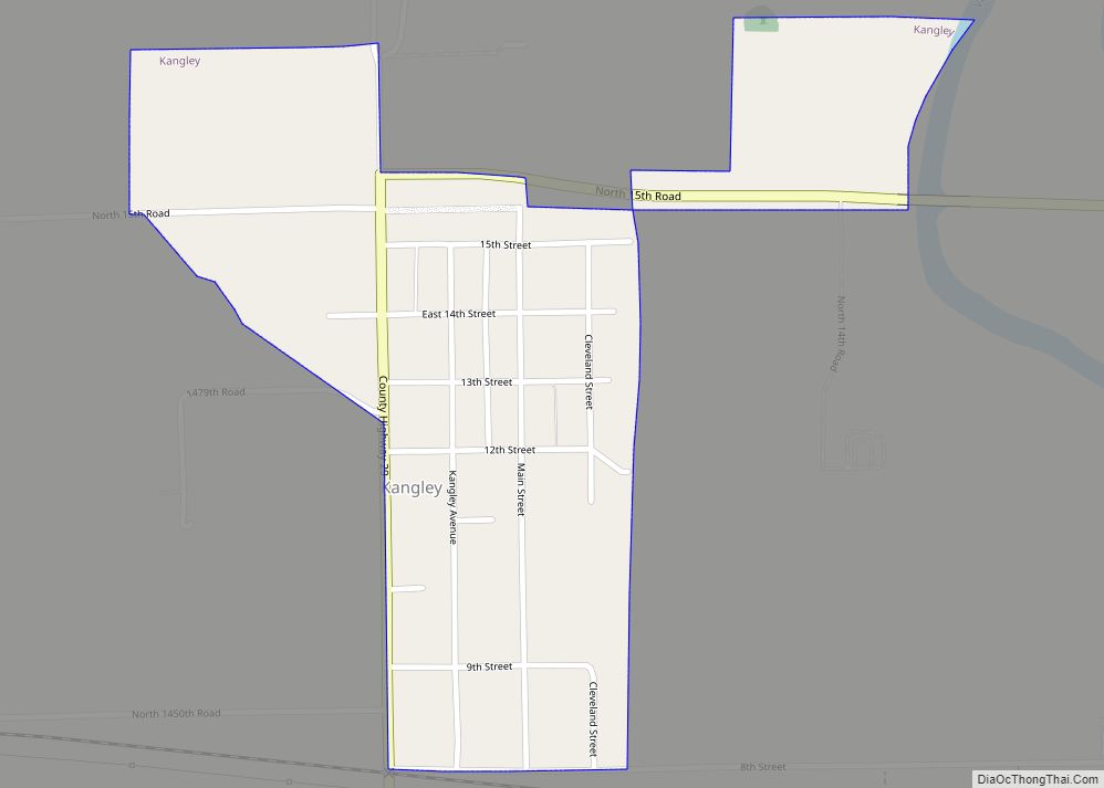
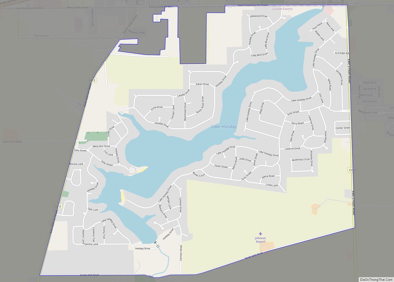
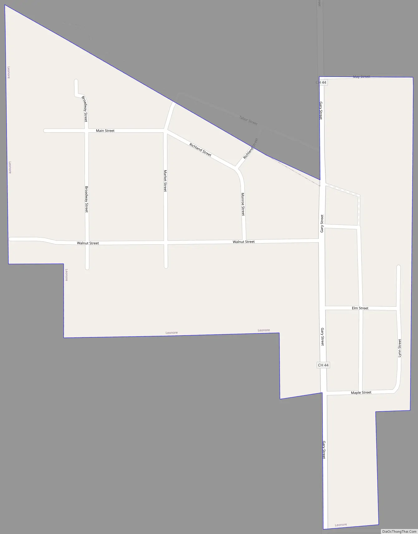
Online Interactive Map
Click on ![]() to view map in "full screen" mode.
to view map in "full screen" mode.
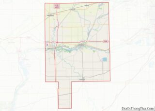
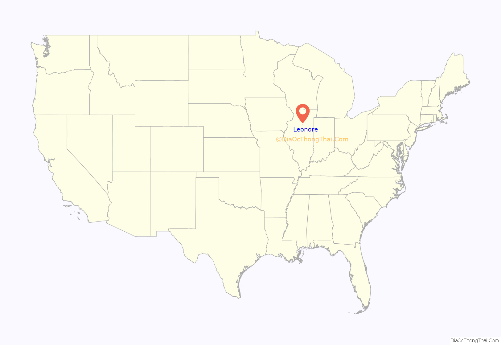
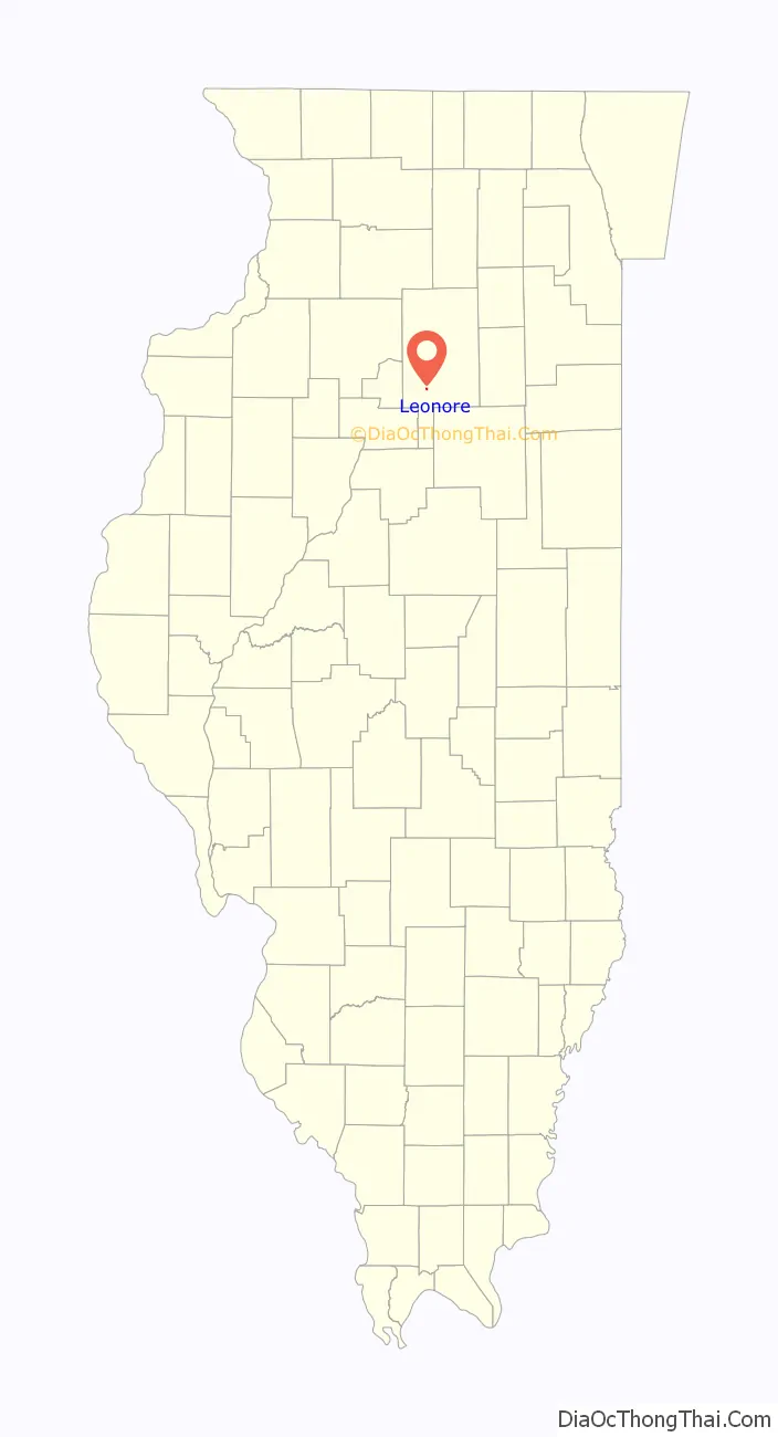
Leonore location map. Where is Leonore village?
History
Leonore was originally established as Gary in the late 1880s to serve as a station on the Illinois Valley & Northern Railroad. In 1889, the name of the station was changed as there was already a post office named Gary. Leonore was deemed the favorite of the suggested names. Leonore was incorporated as a village on April 20, 1891; this was certified on June 15th, 1891.
Leonore is known locally as the site of a bank robbery.
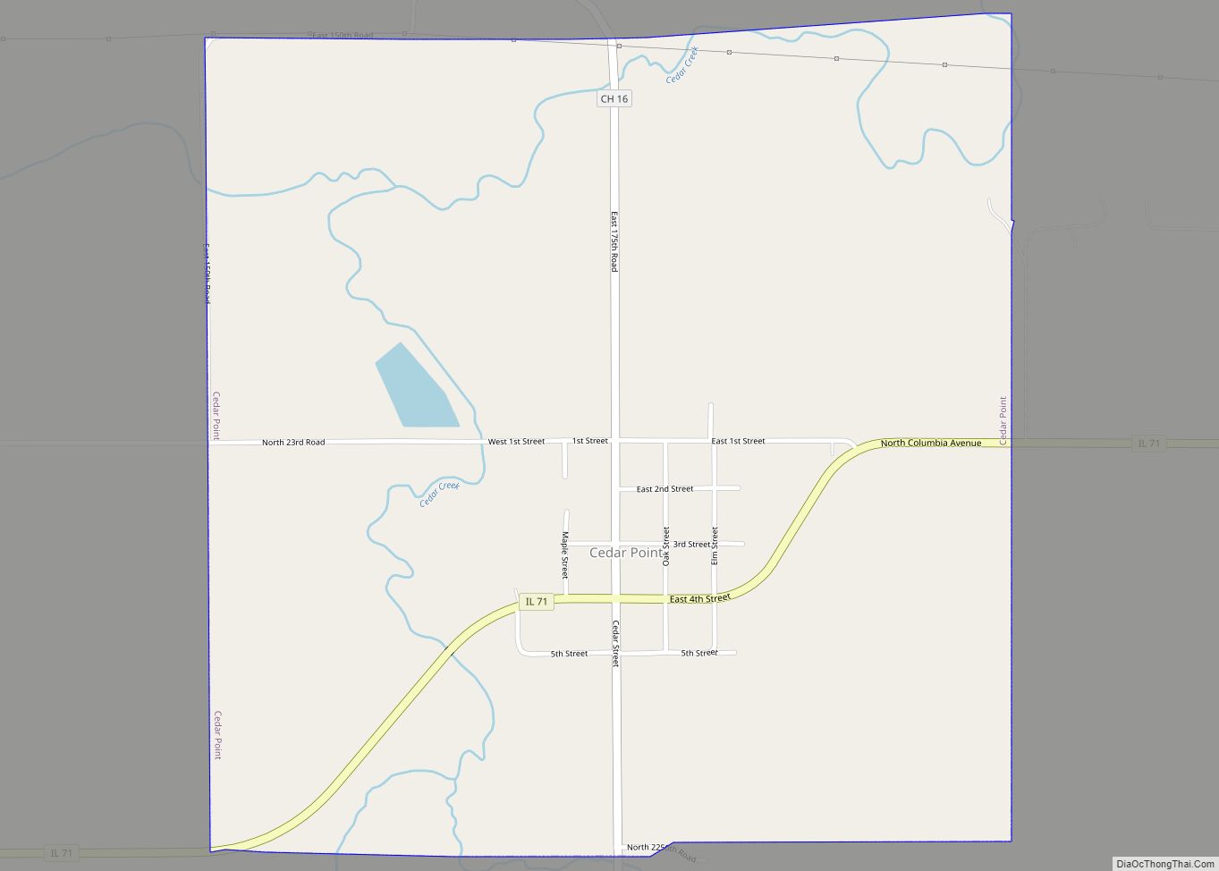
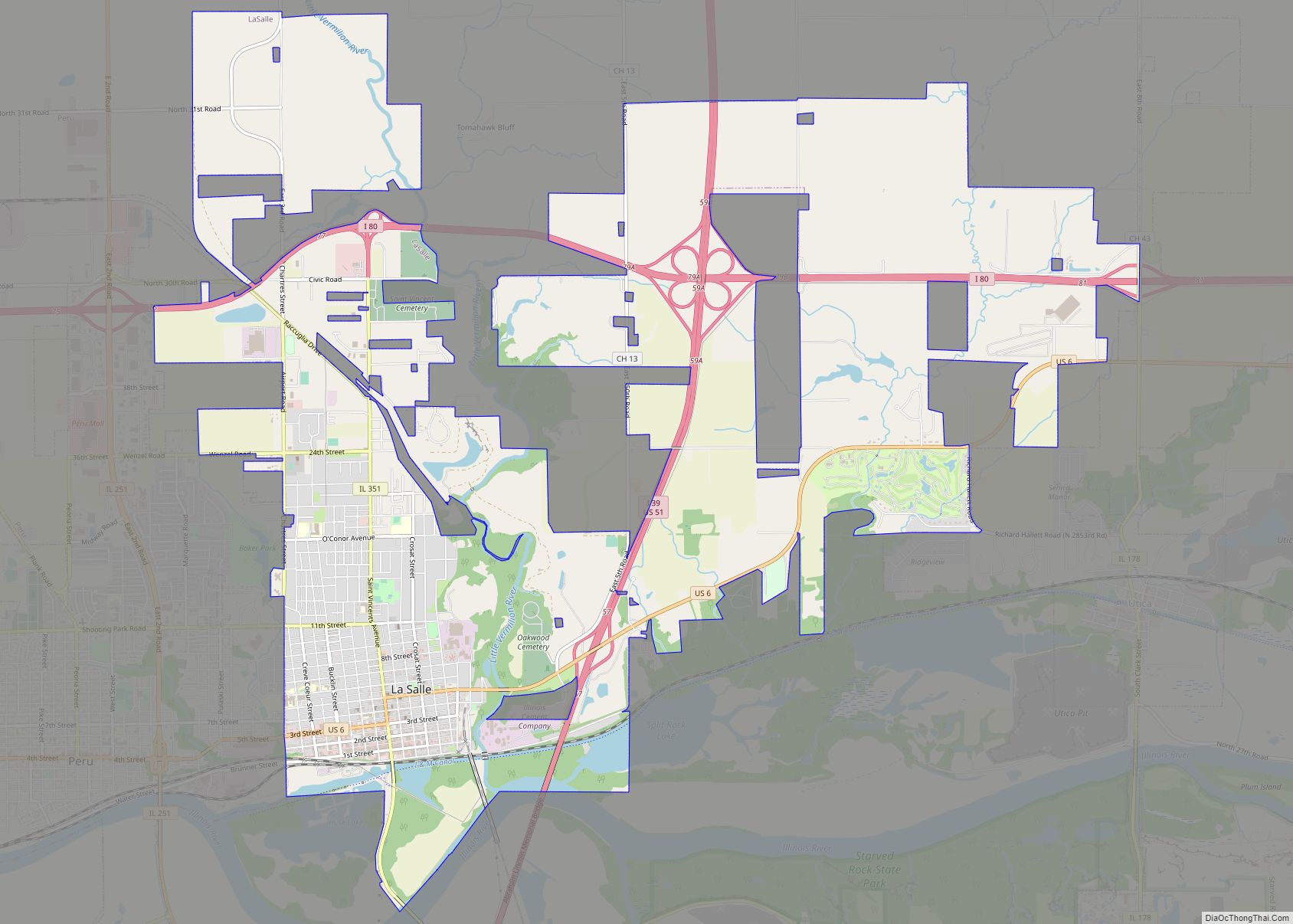
Leonore Road Map
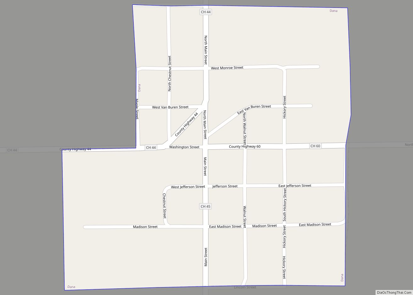
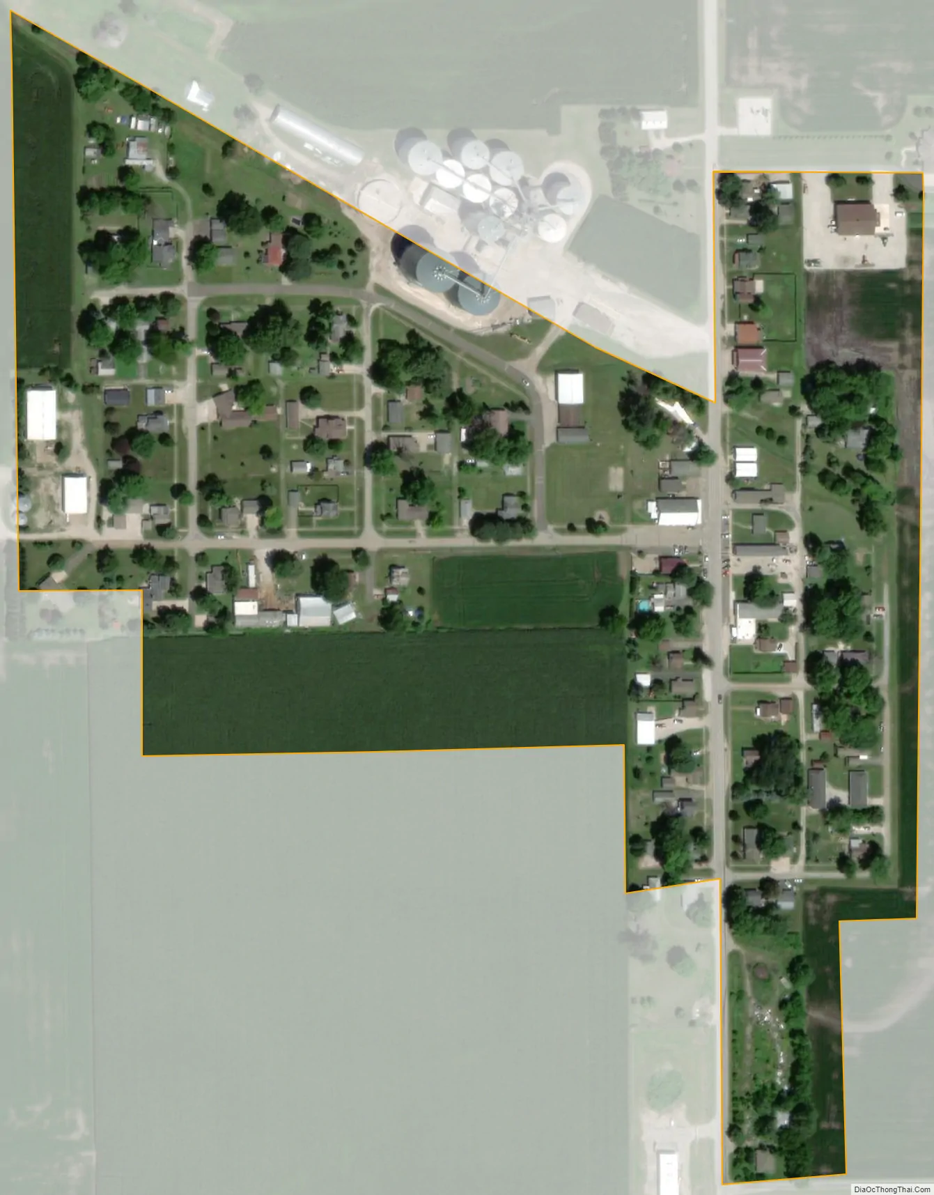
Leonore city Satellite Map
Geography
Leonore is located in southern LaSalle County 15 miles (24 km) southwest of Ottawa, the county seat, and 15 miles southeast of LaSalle.
According to the 2010 census, Leonore has a total area of 0.09 square miles (0.23 km), all land.
See also
Map of Illinois State and its subdivision:- Adams
- Alexander
- Bond
- Boone
- Brown
- Bureau
- Calhoun
- Carroll
- Cass
- Champaign
- Christian
- Clark
- Clay
- Clinton
- Coles
- Cook
- Crawford
- Cumberland
- De Kalb
- De Witt
- Douglas
- Dupage
- Edgar
- Edwards
- Effingham
- Fayette
- Ford
- Franklin
- Fulton
- Gallatin
- Greene
- Grundy
- Hamilton
- Hancock
- Hardin
- Henderson
- Henry
- Iroquois
- Jackson
- Jasper
- Jefferson
- Jersey
- Jo Daviess
- Johnson
- Kane
- Kankakee
- Kendall
- Knox
- La Salle
- Lake
- Lake Michigan
- Lawrence
- Lee
- Livingston
- Logan
- Macon
- Macoupin
- Madison
- Marion
- Marshall
- Mason
- Massac
- McDonough
- McHenry
- McLean
- Menard
- Mercer
- Monroe
- Montgomery
- Morgan
- Moultrie
- Ogle
- Peoria
- Perry
- Piatt
- Pike
- Pope
- Pulaski
- Putnam
- Randolph
- Richland
- Rock Island
- Saint Clair
- Saline
- Sangamon
- Schuyler
- Scott
- Shelby
- Stark
- Stephenson
- Tazewell
- Union
- Vermilion
- Wabash
- Warren
- Washington
- Wayne
- White
- Whiteside
- Will
- Williamson
- Winnebago
- Woodford
- Alabama
- Alaska
- Arizona
- Arkansas
- California
- Colorado
- Connecticut
- Delaware
- District of Columbia
- Florida
- Georgia
- Hawaii
- Idaho
- Illinois
- Indiana
- Iowa
- Kansas
- Kentucky
- Louisiana
- Maine
- Maryland
- Massachusetts
- Michigan
- Minnesota
- Mississippi
- Missouri
- Montana
- Nebraska
- Nevada
- New Hampshire
- New Jersey
- New Mexico
- New York
- North Carolina
- North Dakota
- Ohio
- Oklahoma
- Oregon
- Pennsylvania
- Rhode Island
- South Carolina
- South Dakota
- Tennessee
- Texas
- Utah
- Vermont
- Virginia
- Washington
- West Virginia
- Wisconsin
- Wyoming